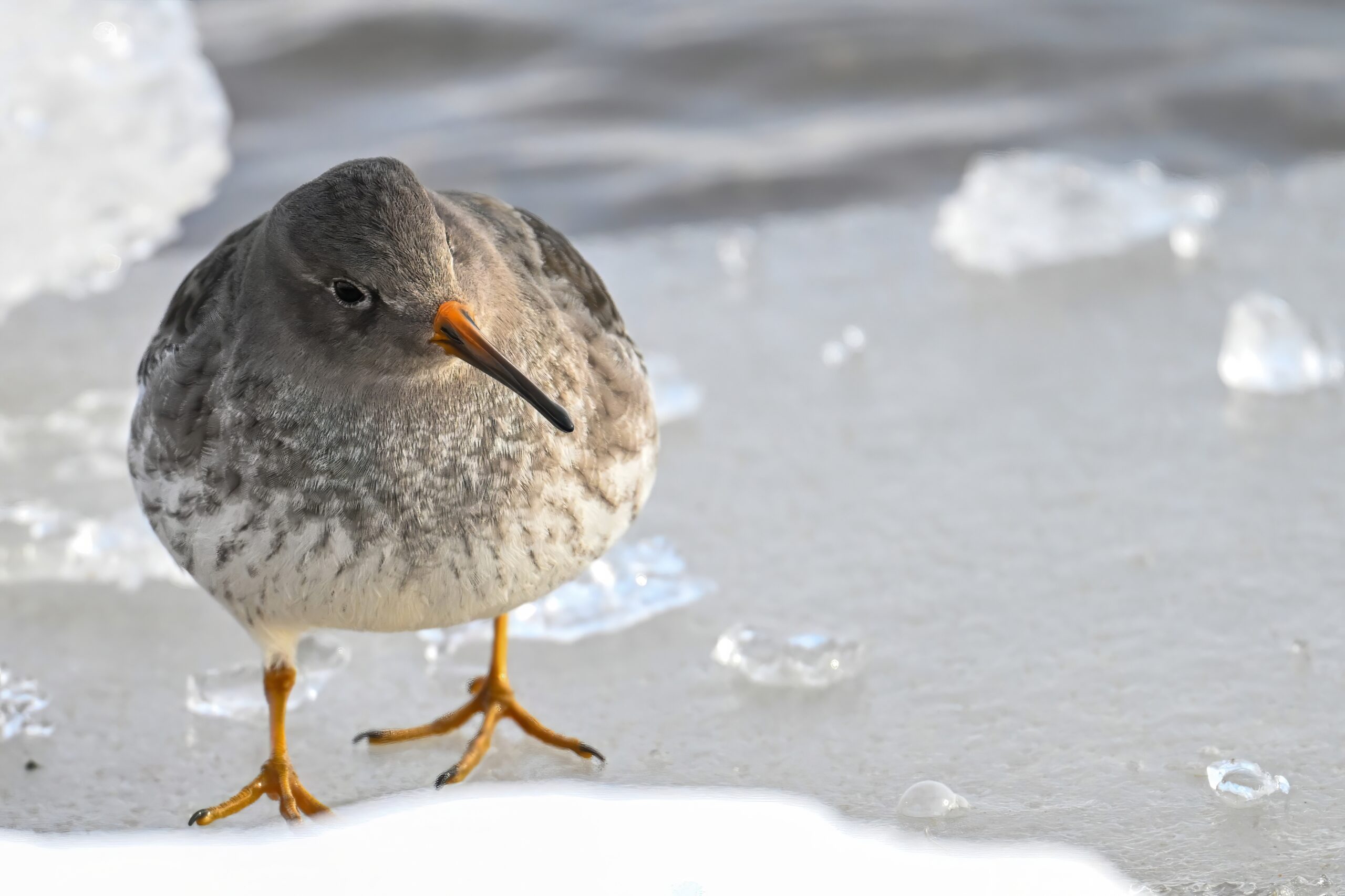
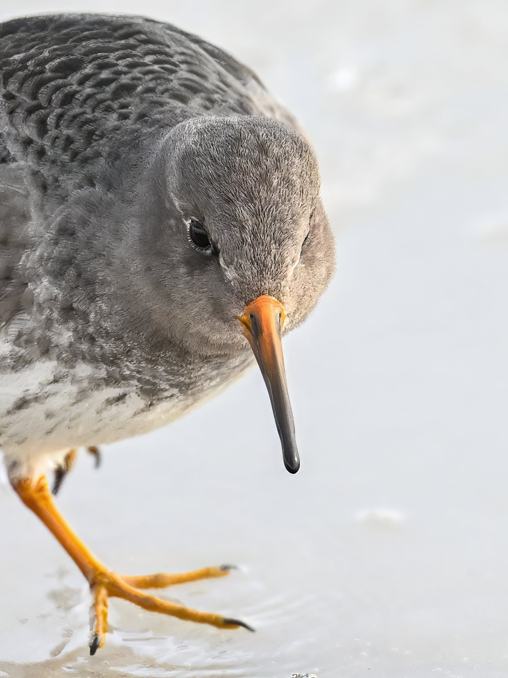
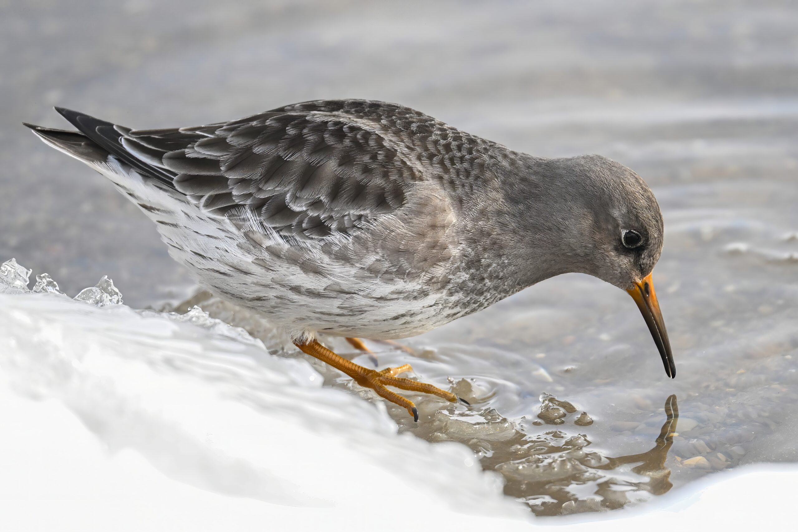
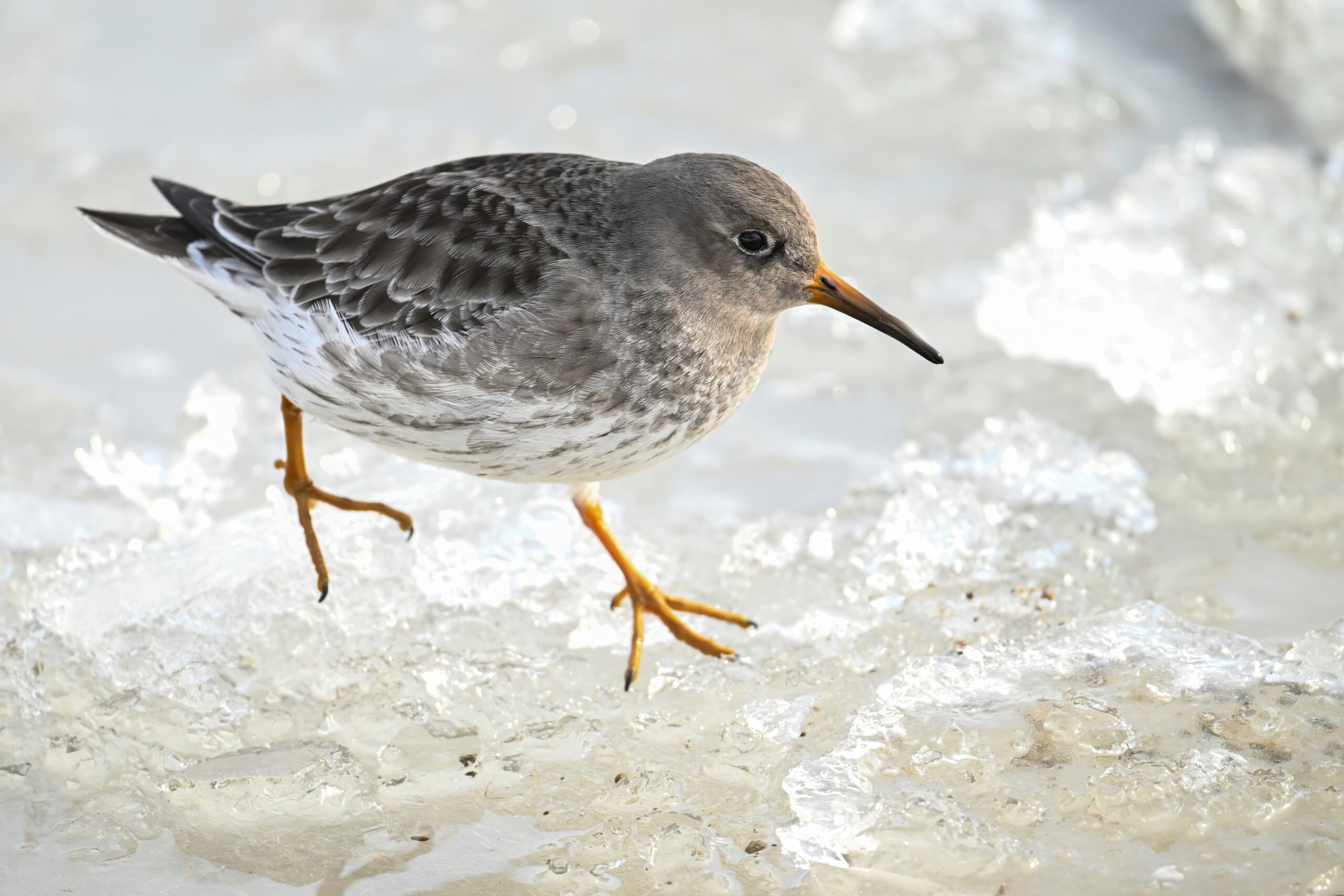
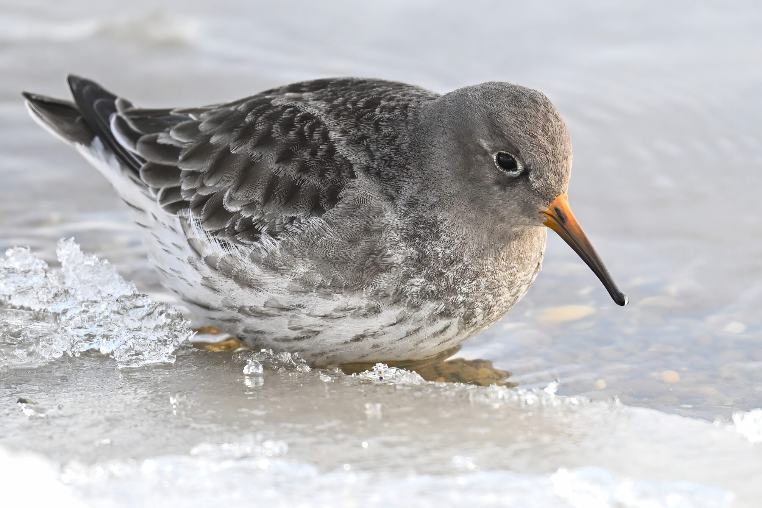
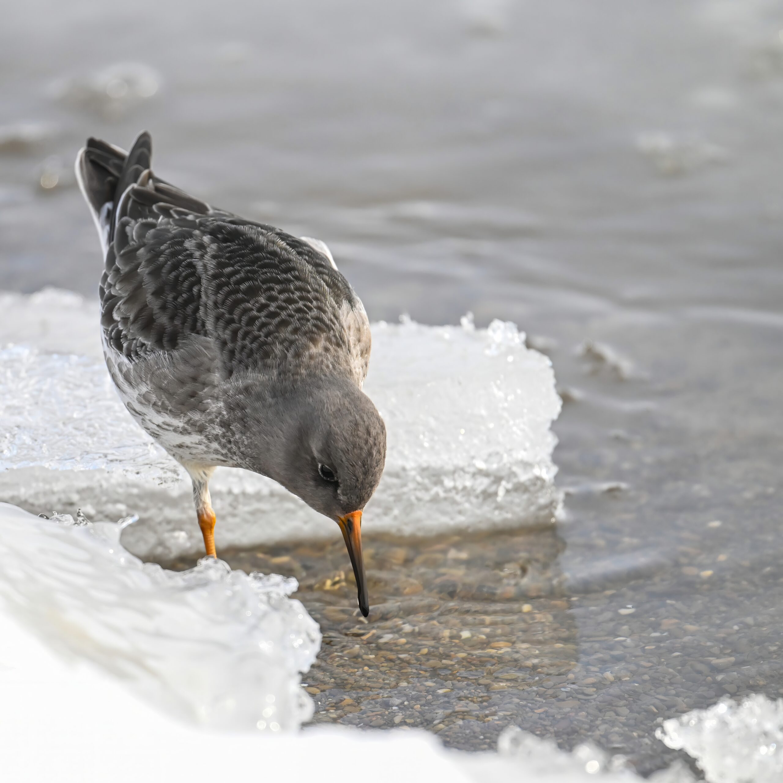
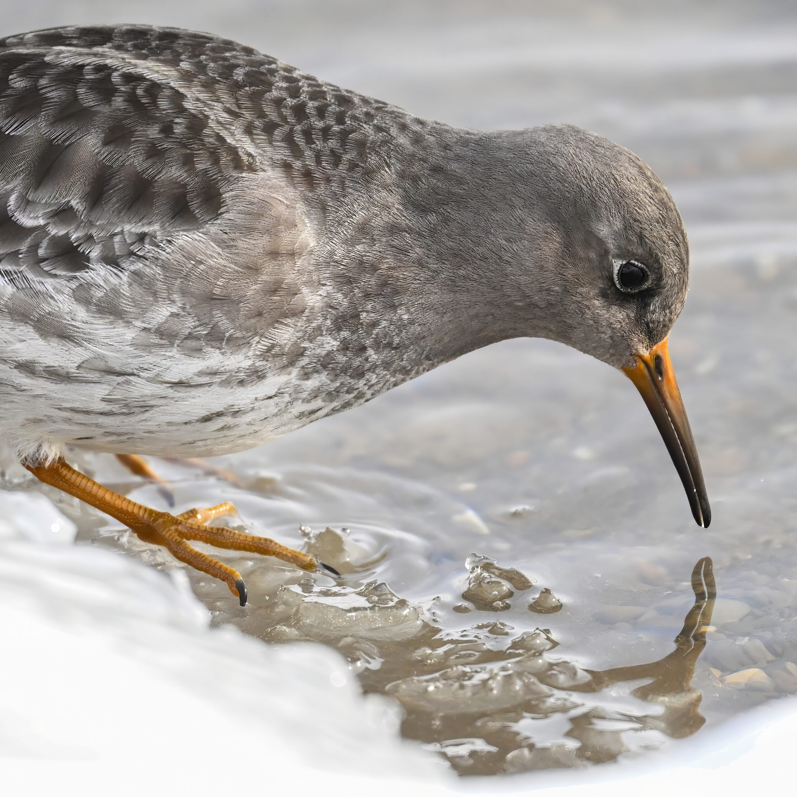
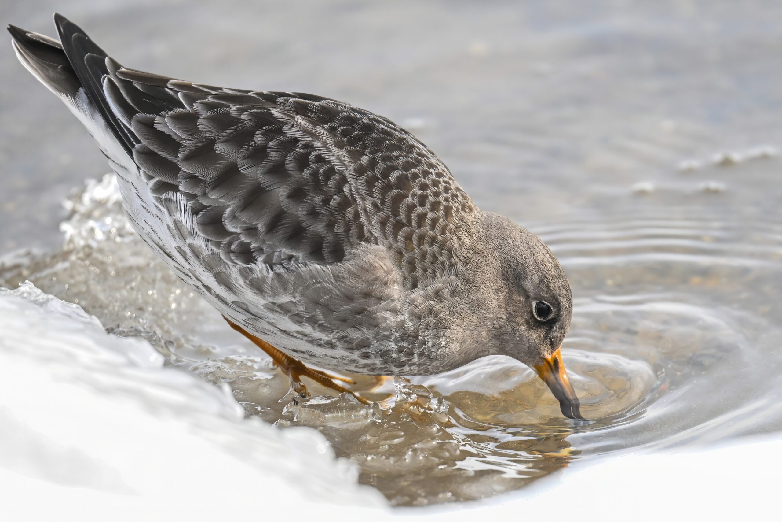
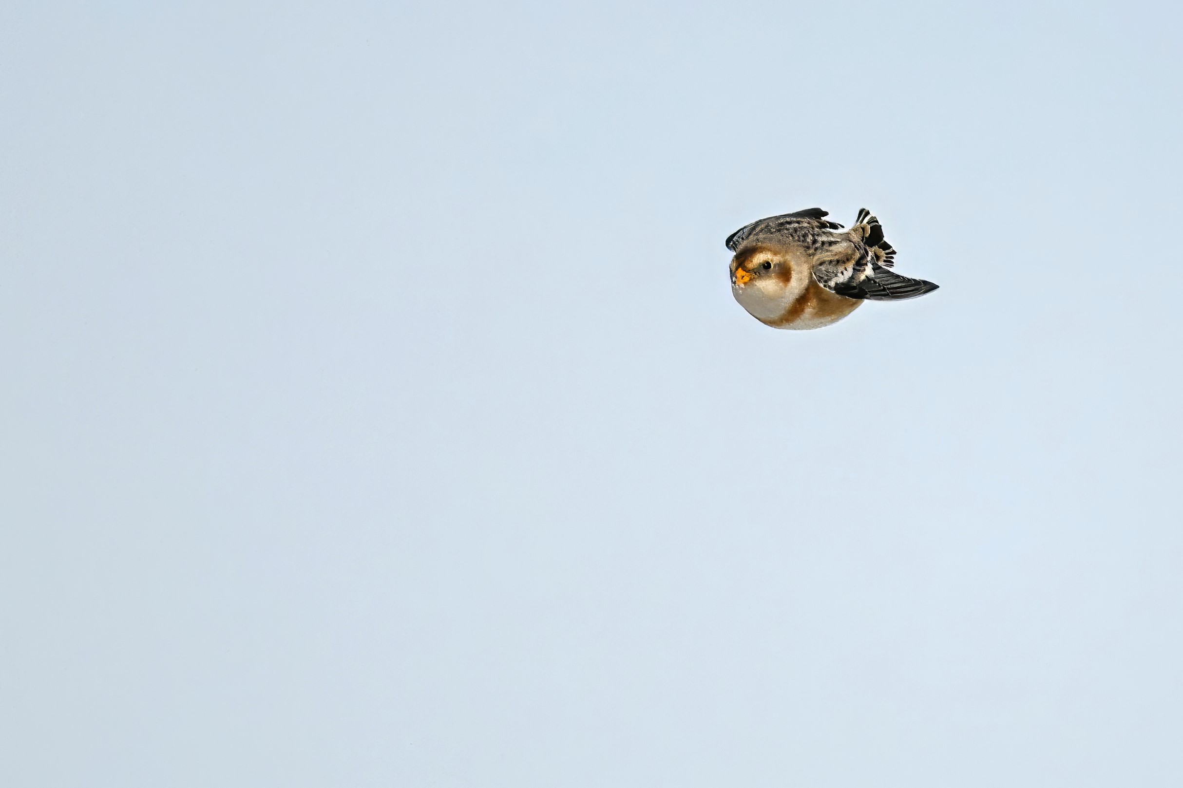
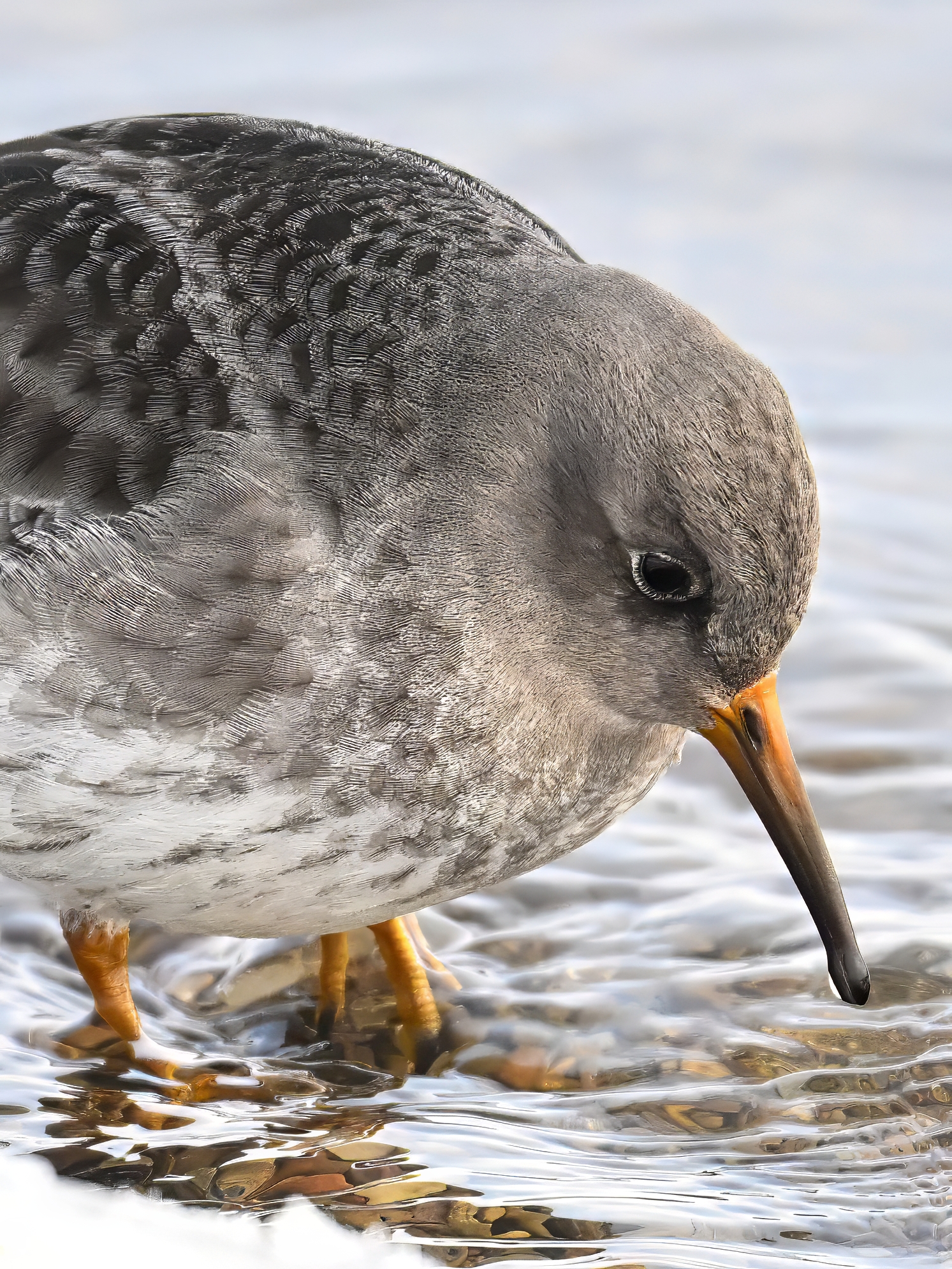
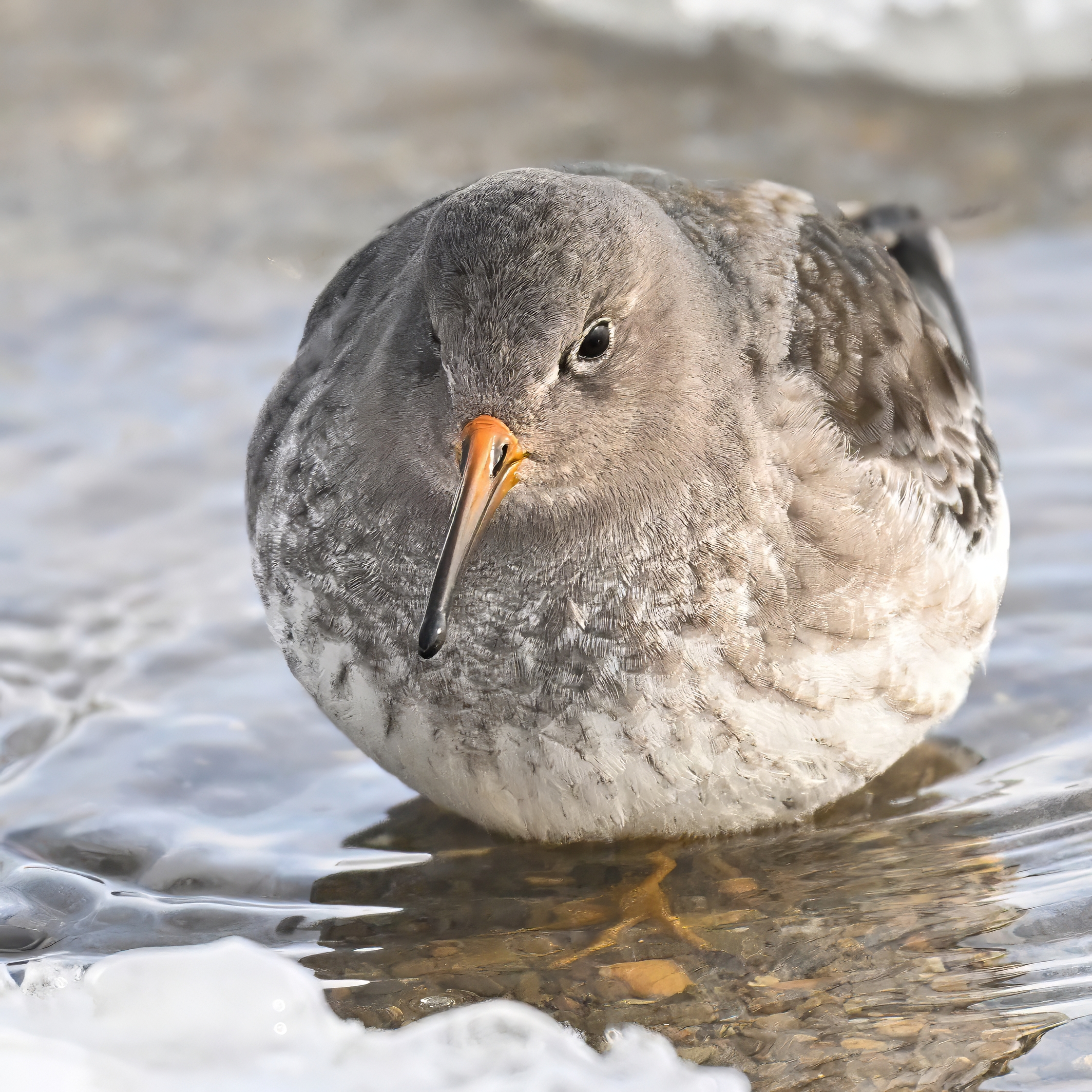
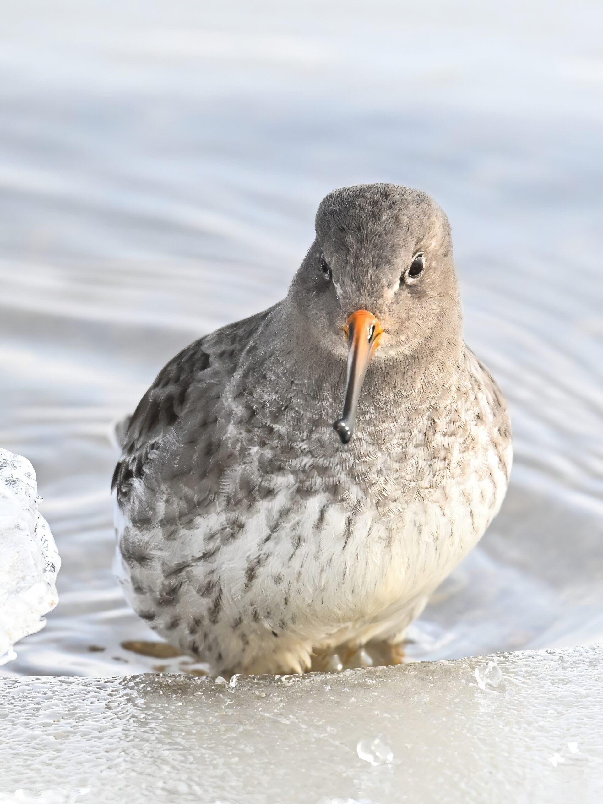
Clear overnight in Erie County, Pennsylvania, e.g., at 2:15AM, but turned partially cloudy (lake effect high fog) since then. Temps low but not “super low;” conditions ok for deploying to Presque Isle State Park for birds/nature. More on that in due course. In the meantime, even more Purple Sandpiper and Snow Bunting from the other weekend at Gull Point:
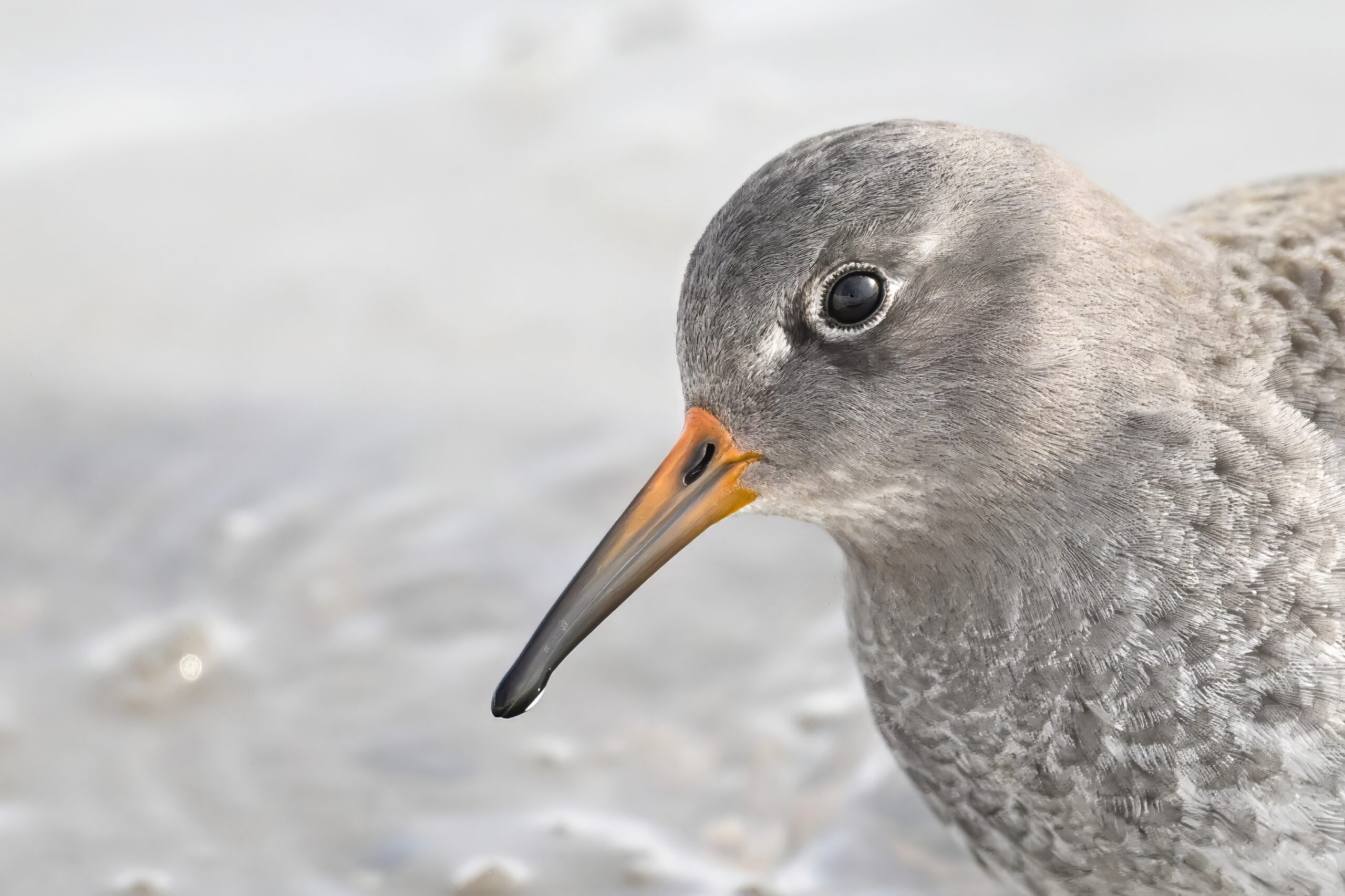
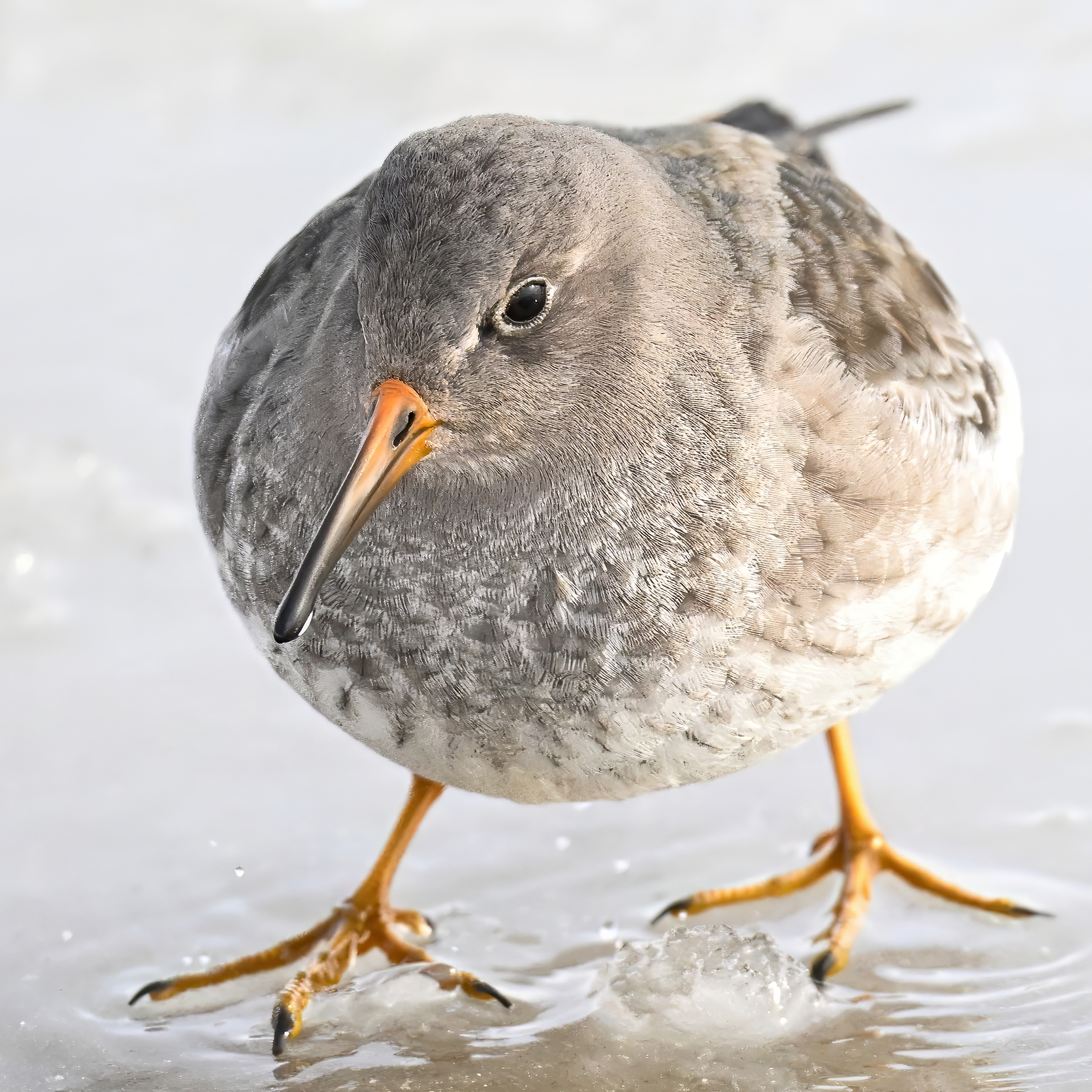
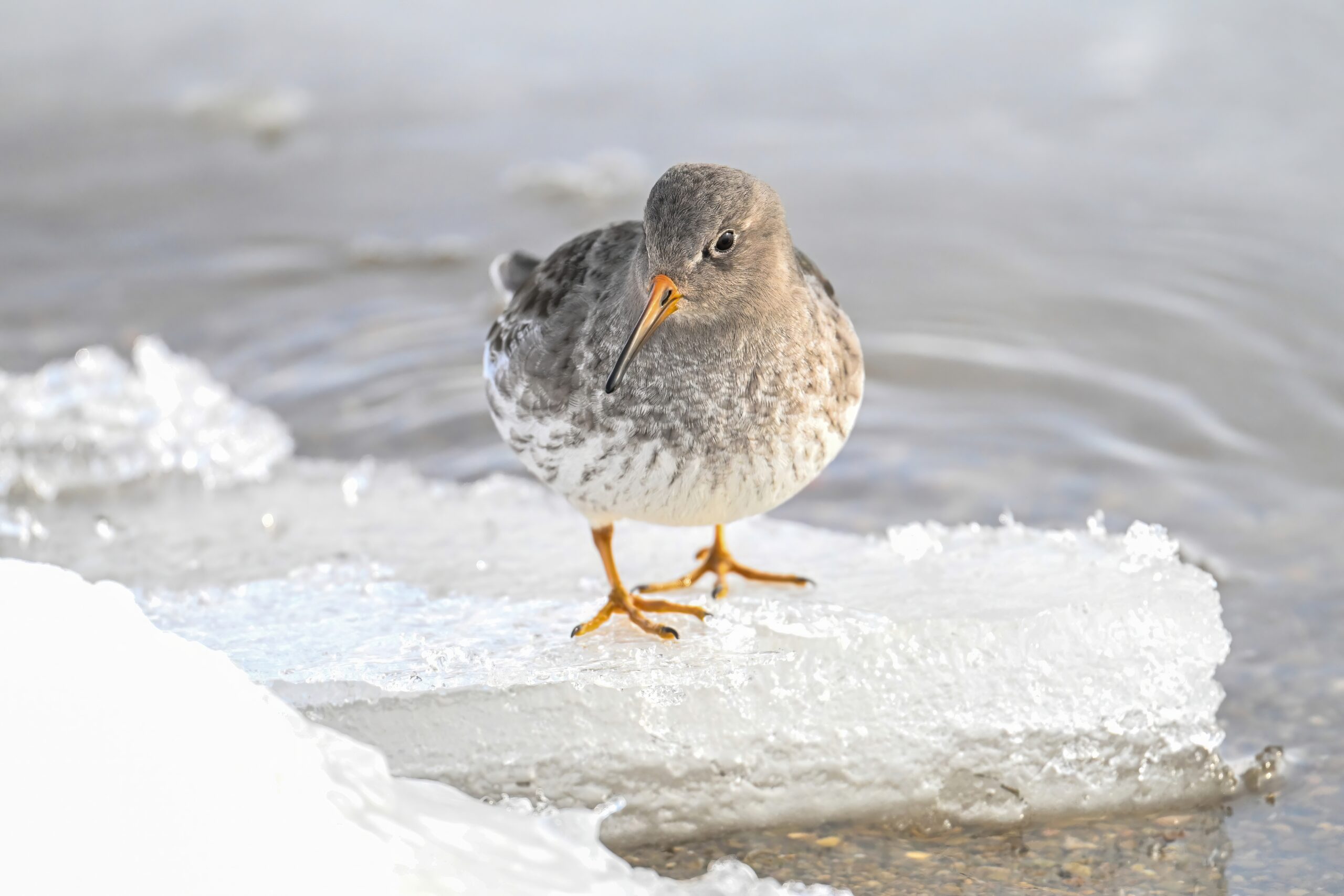
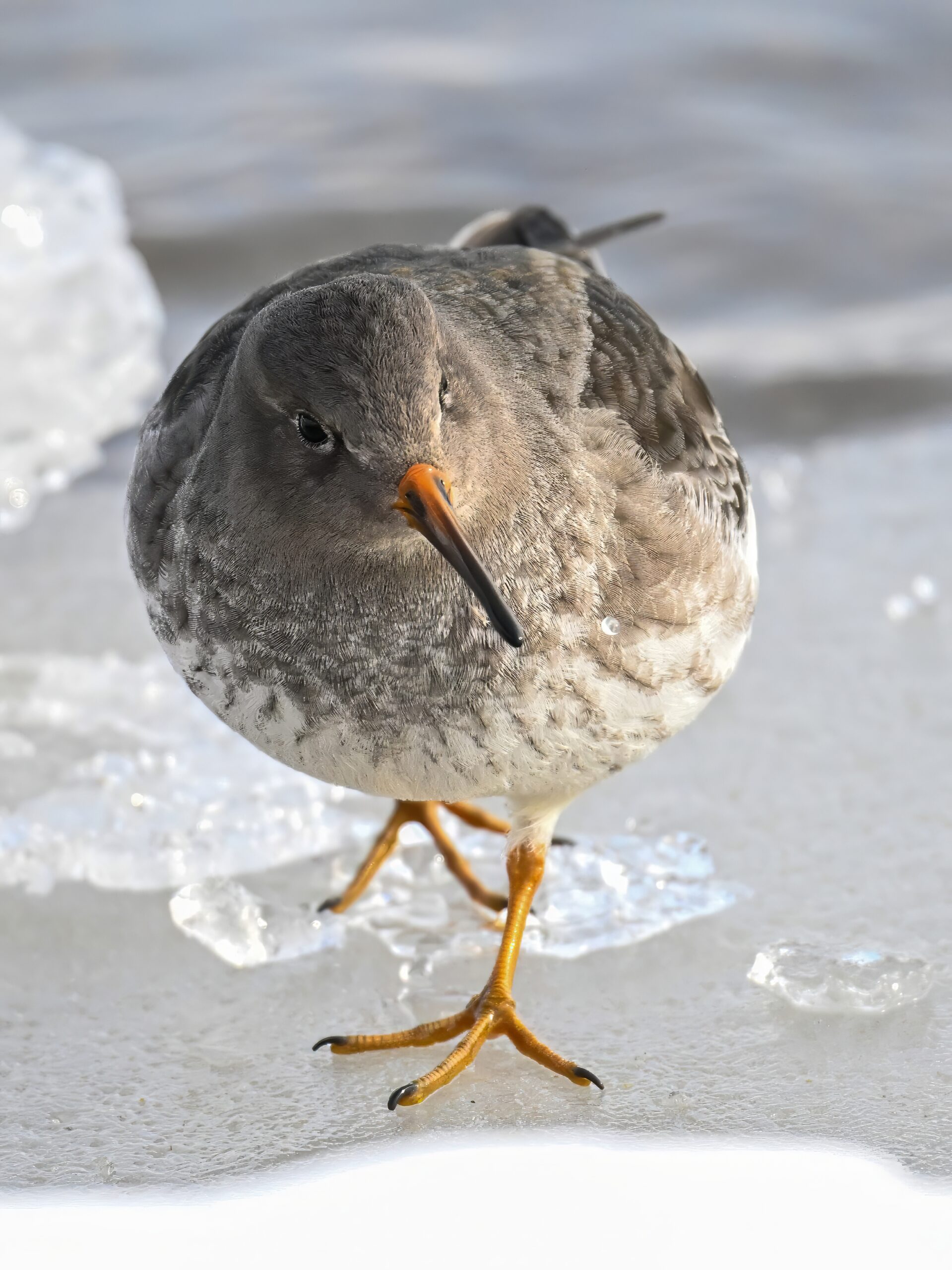
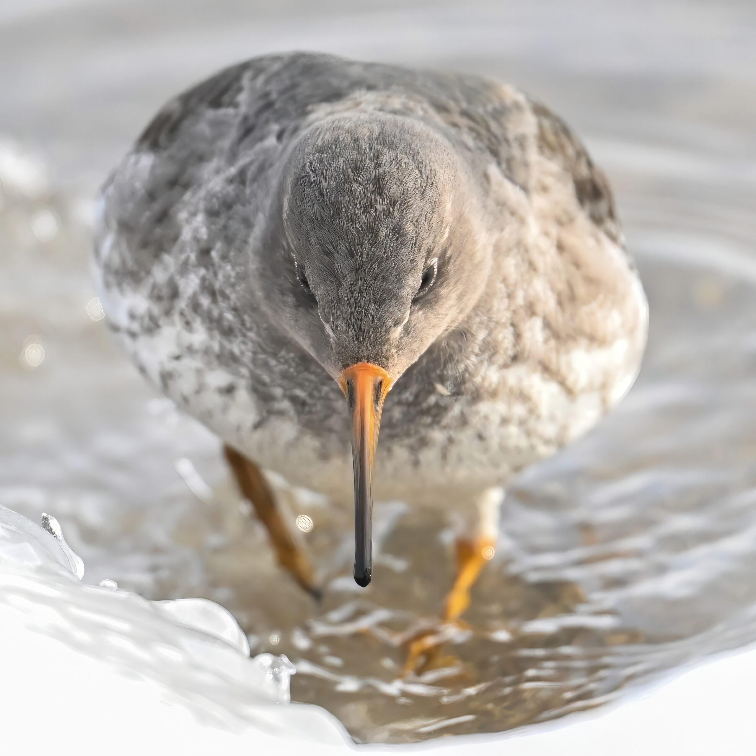
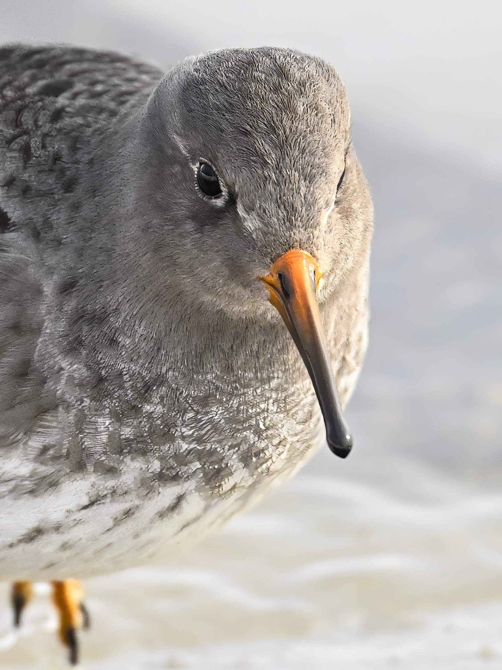
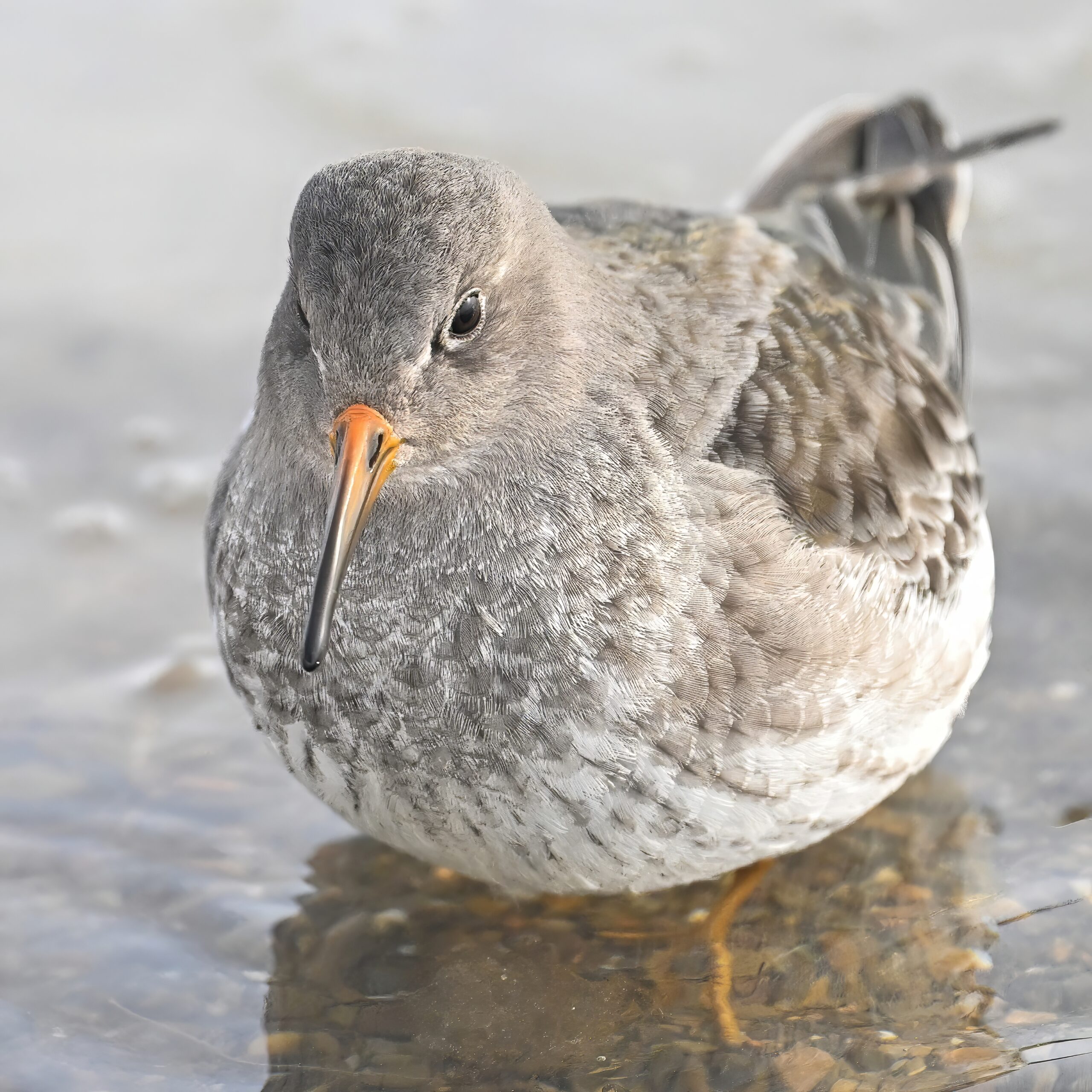
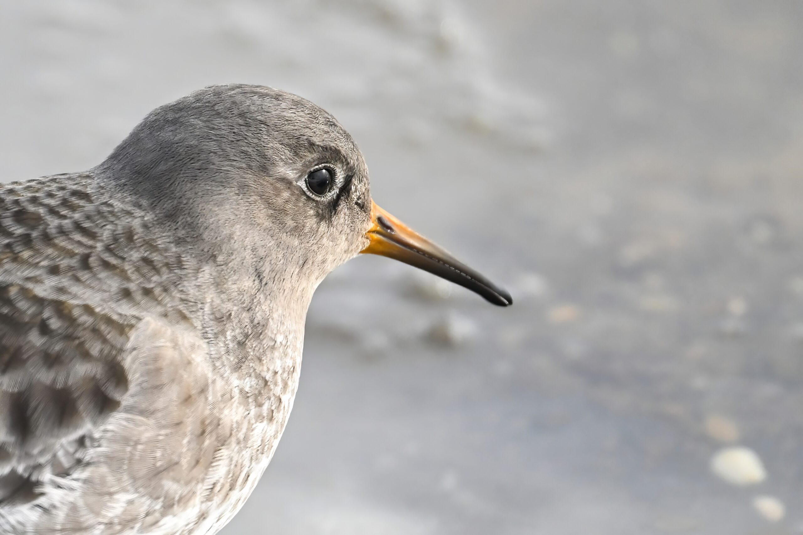
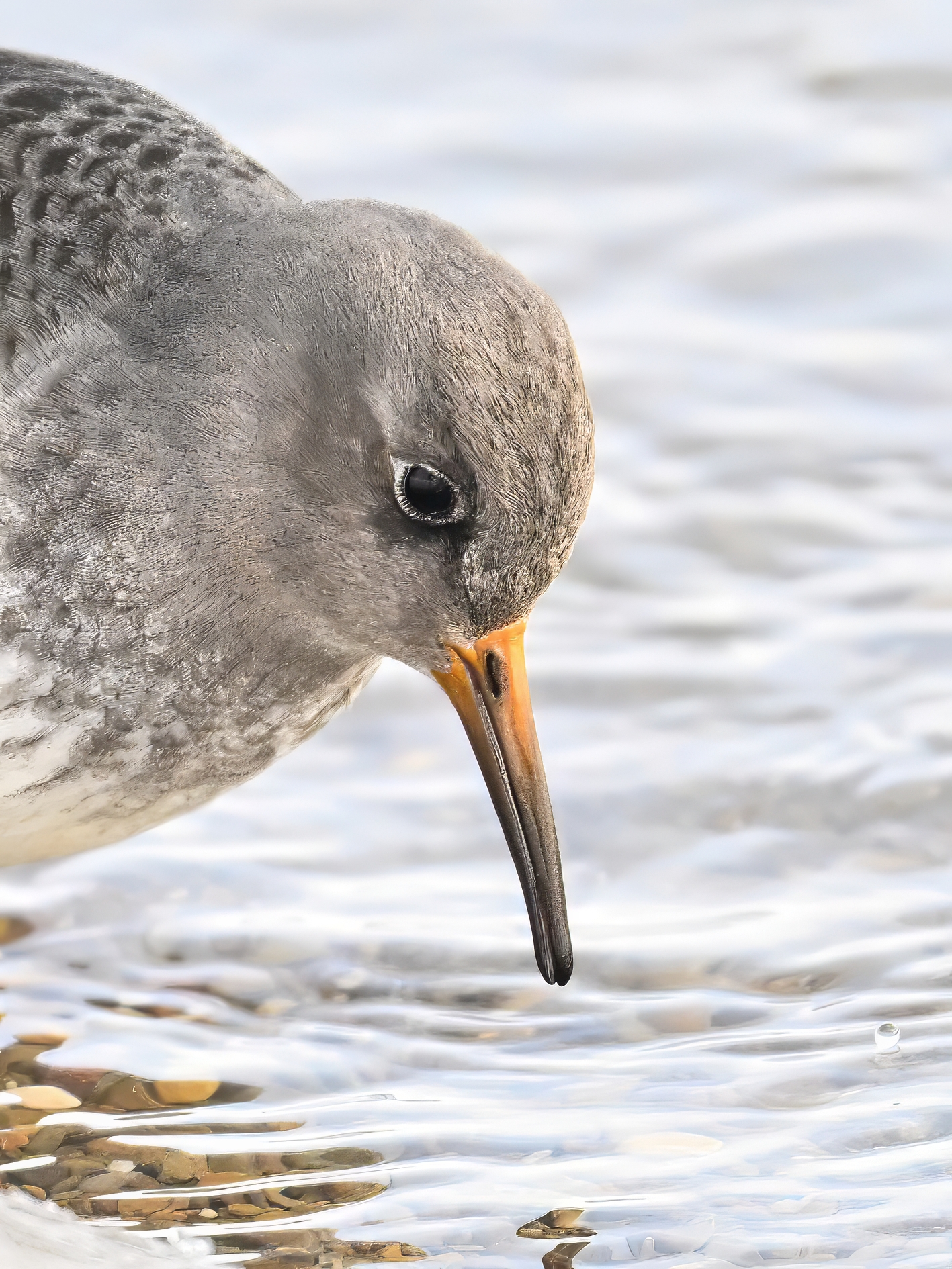
Portrait of Purple SandpiperLots of Snow Bunting
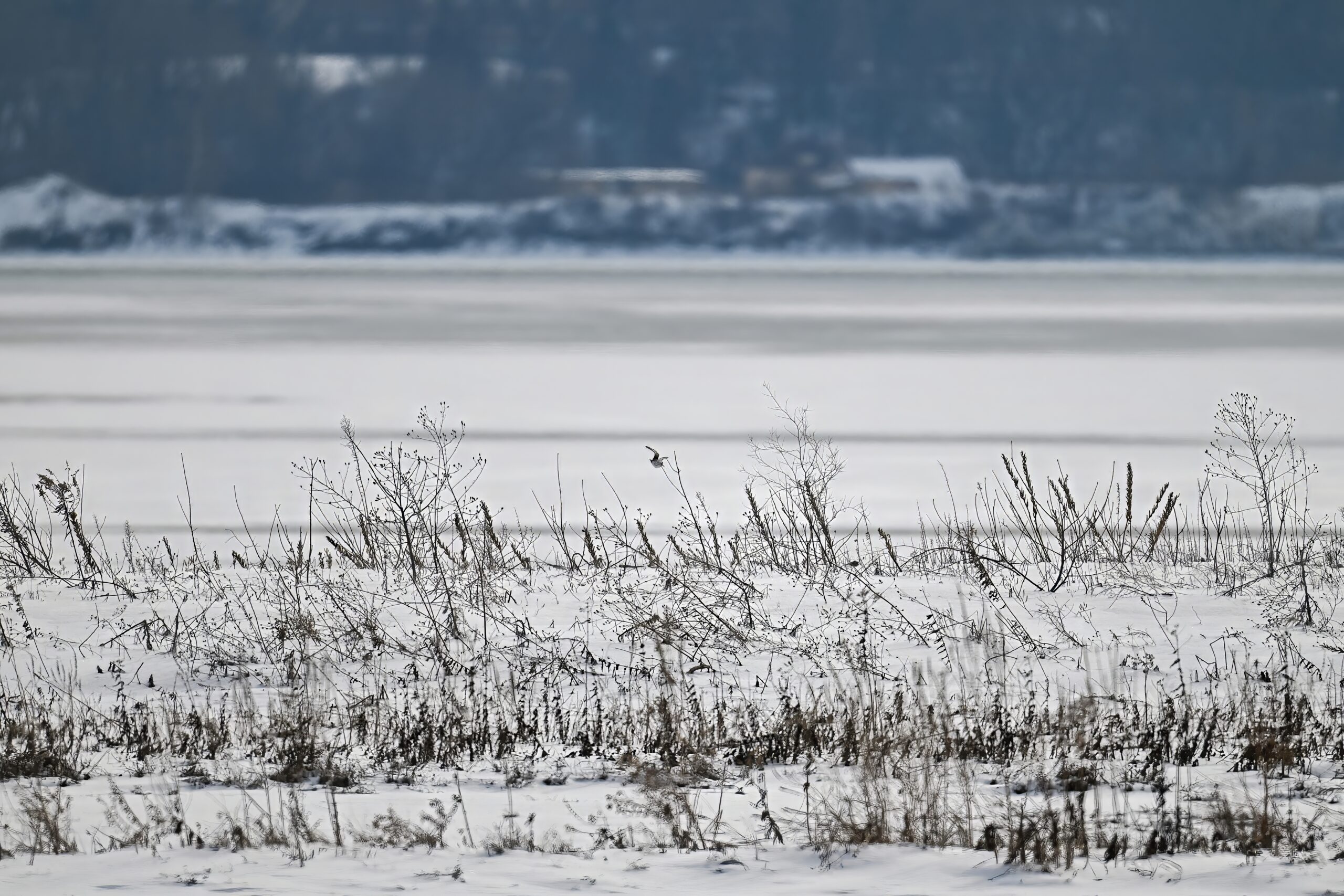
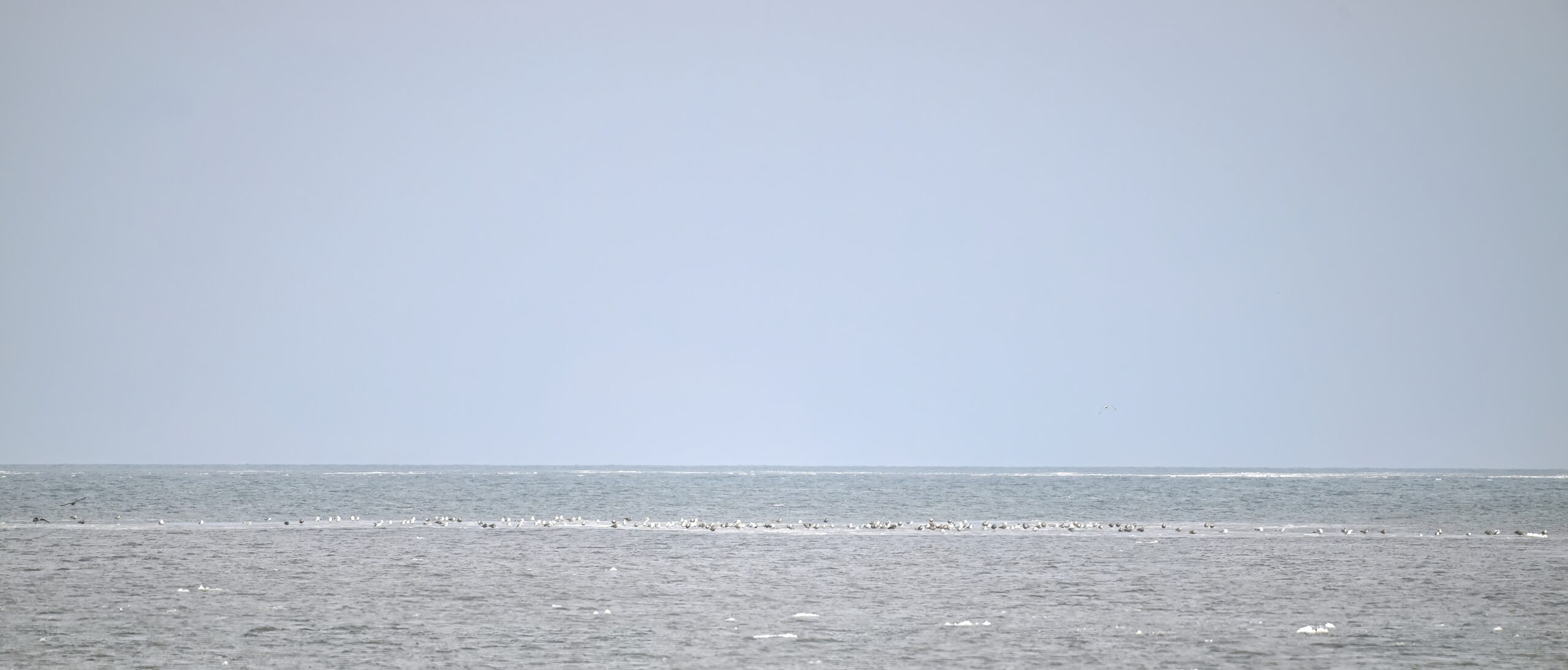
Final shot for today, following is outer Gull Point w/ a shorebird in flight (middle of photograph), probably another Purple Sandpiper:
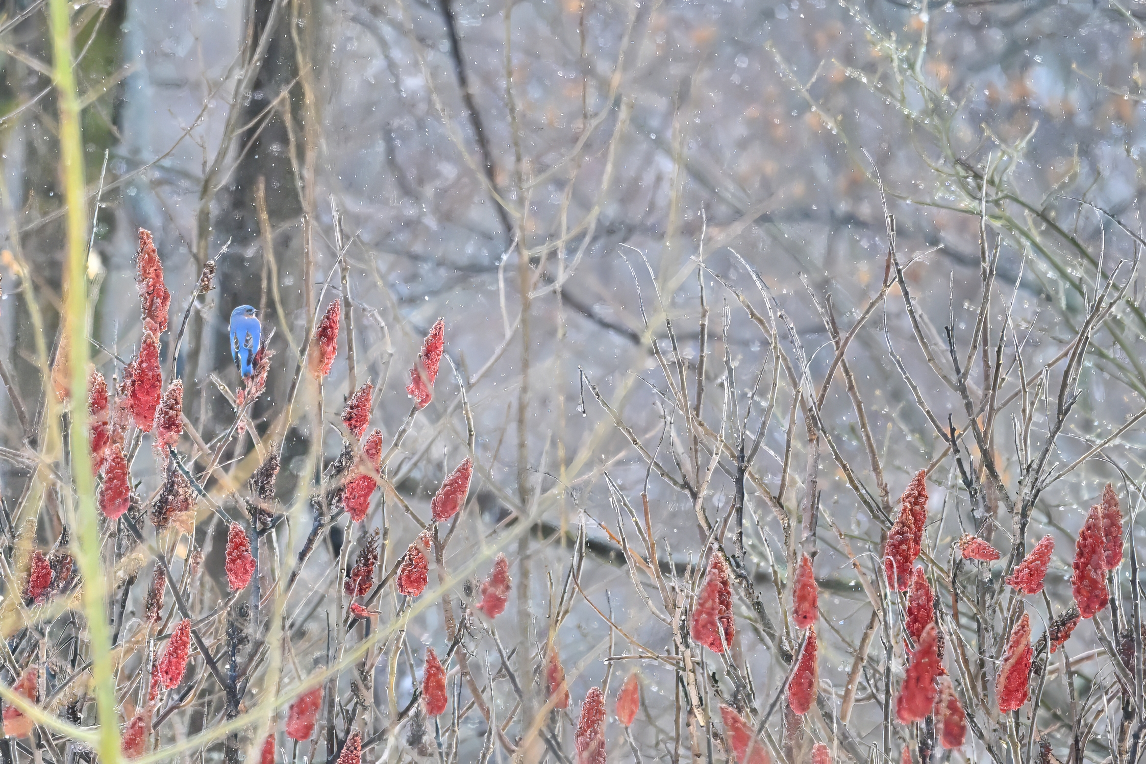
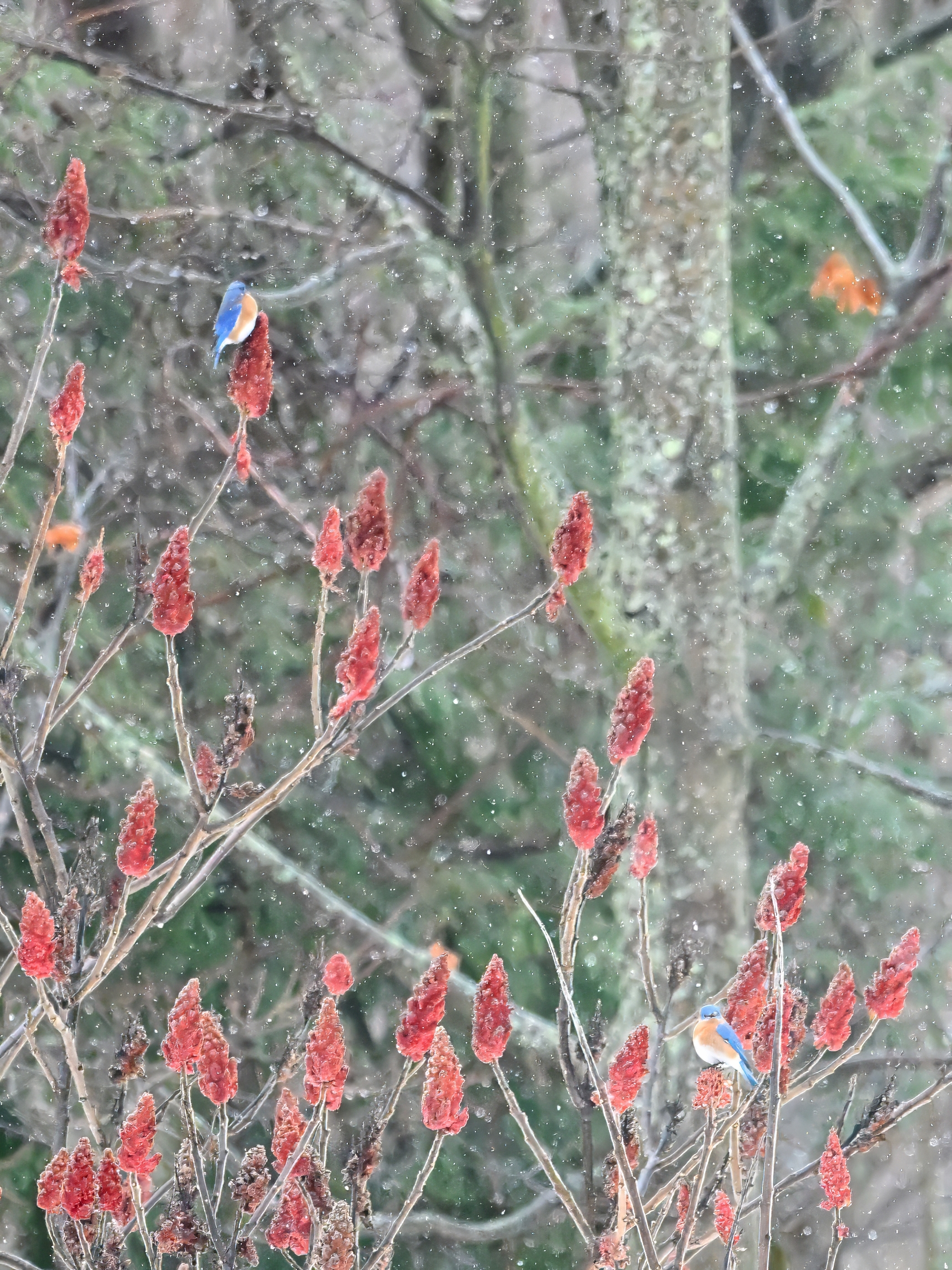
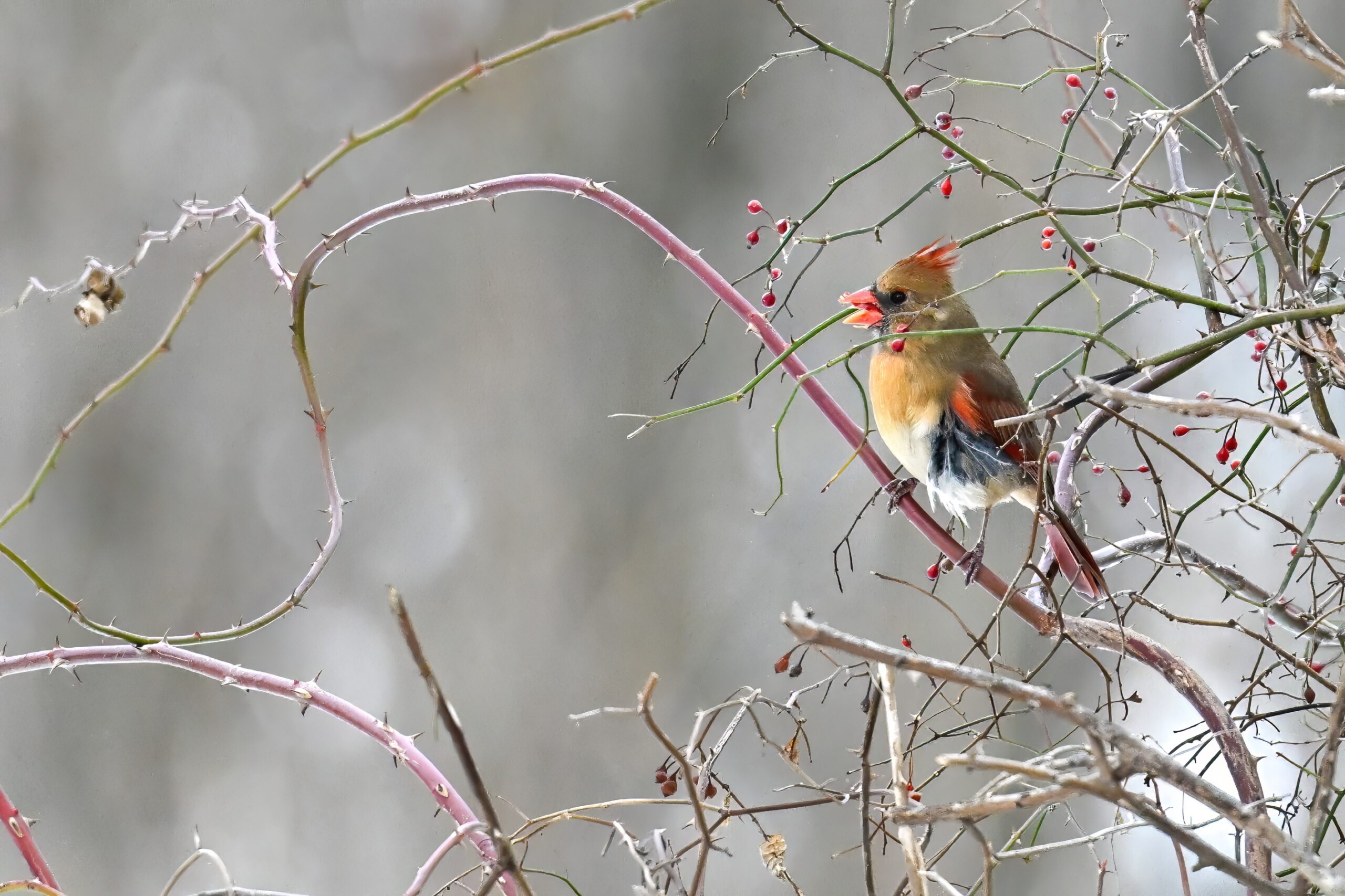
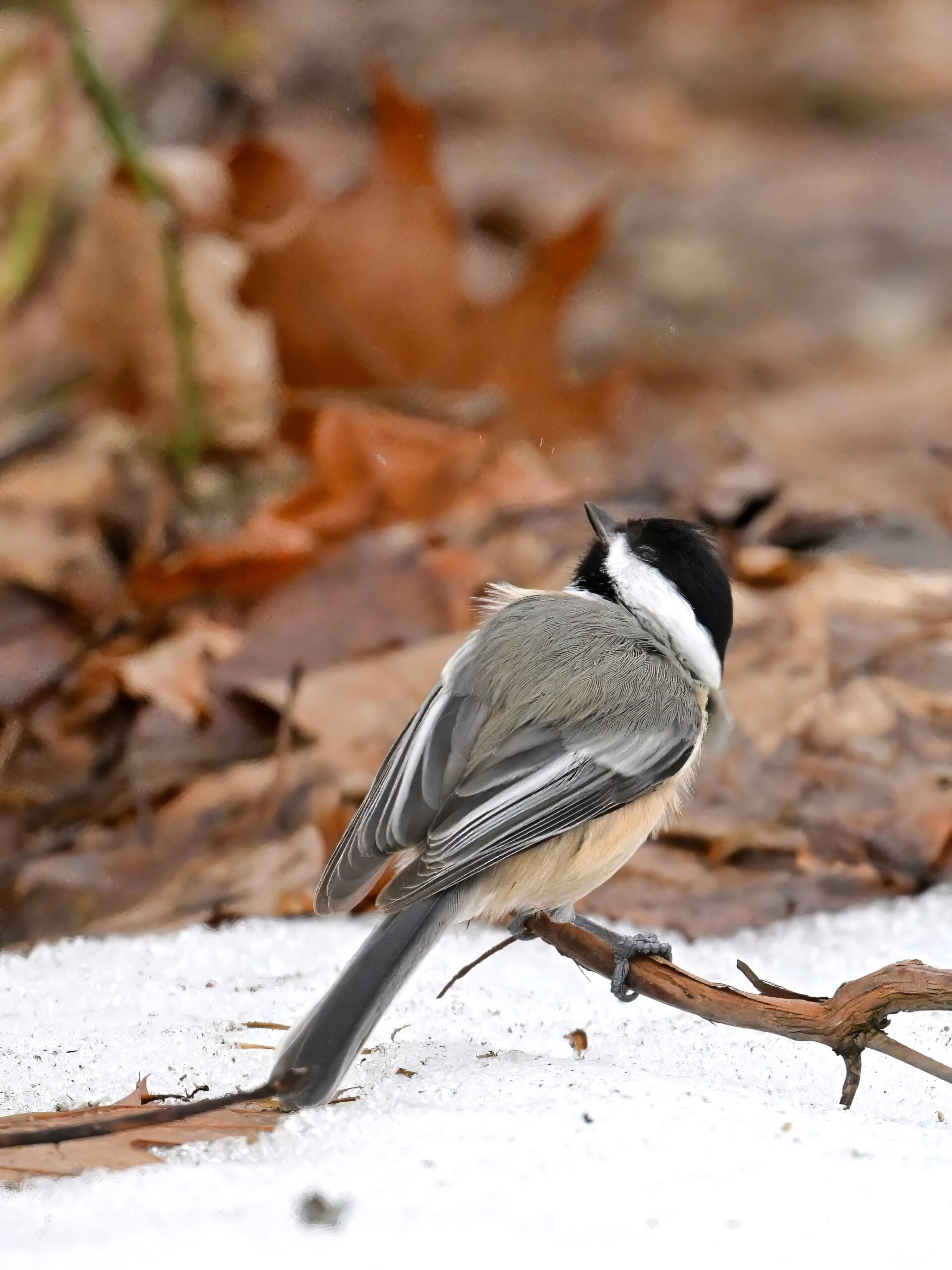
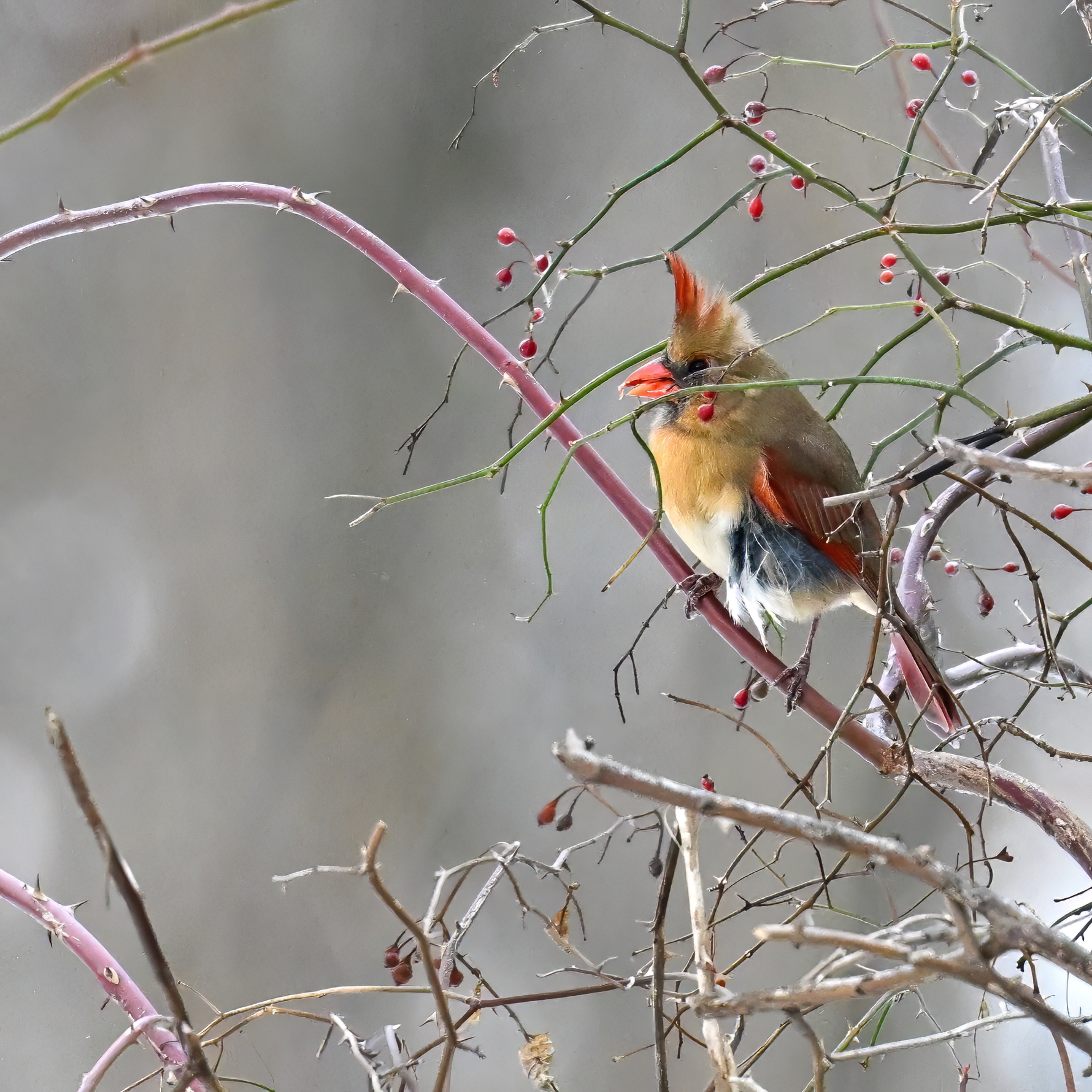
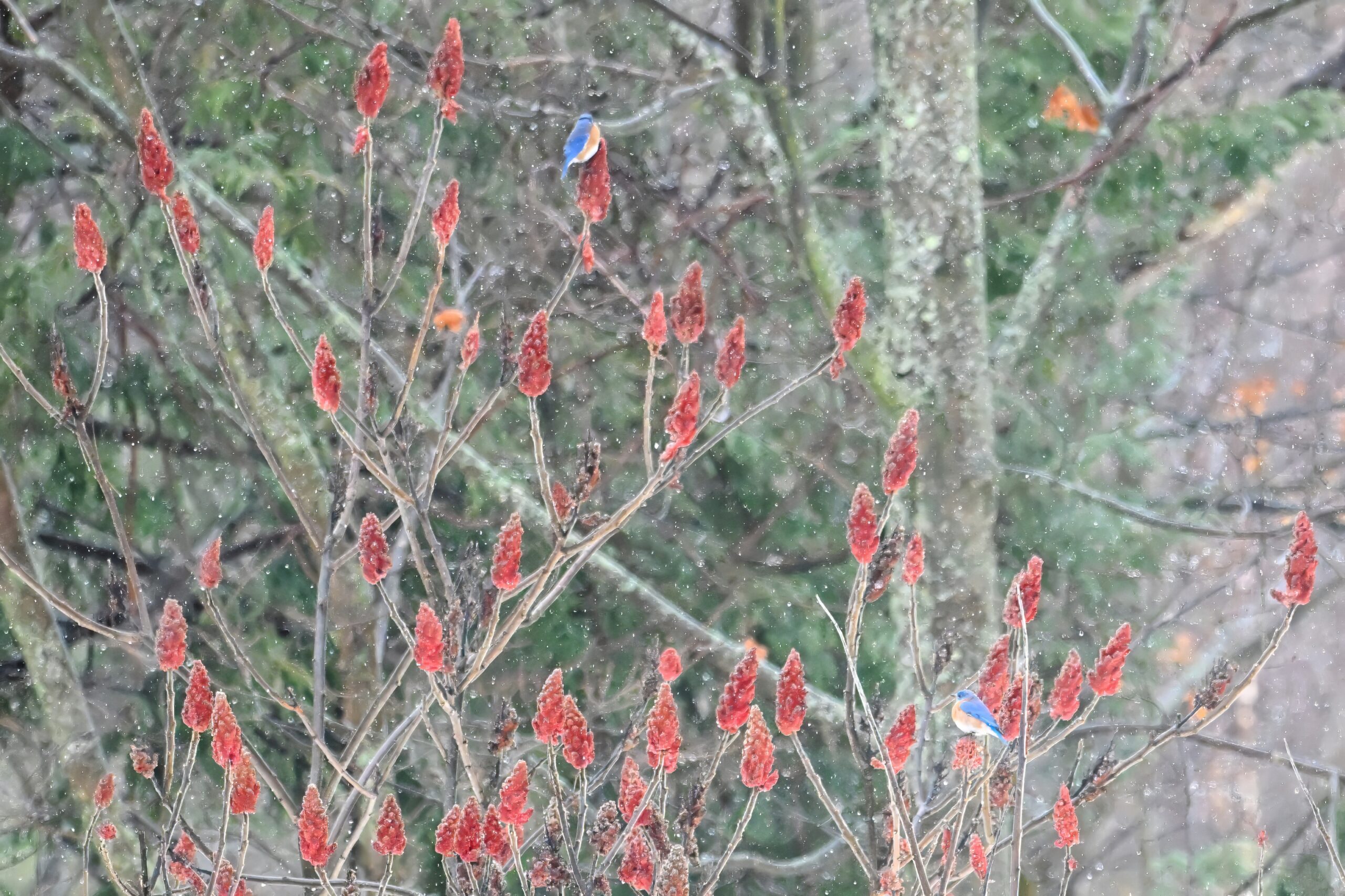
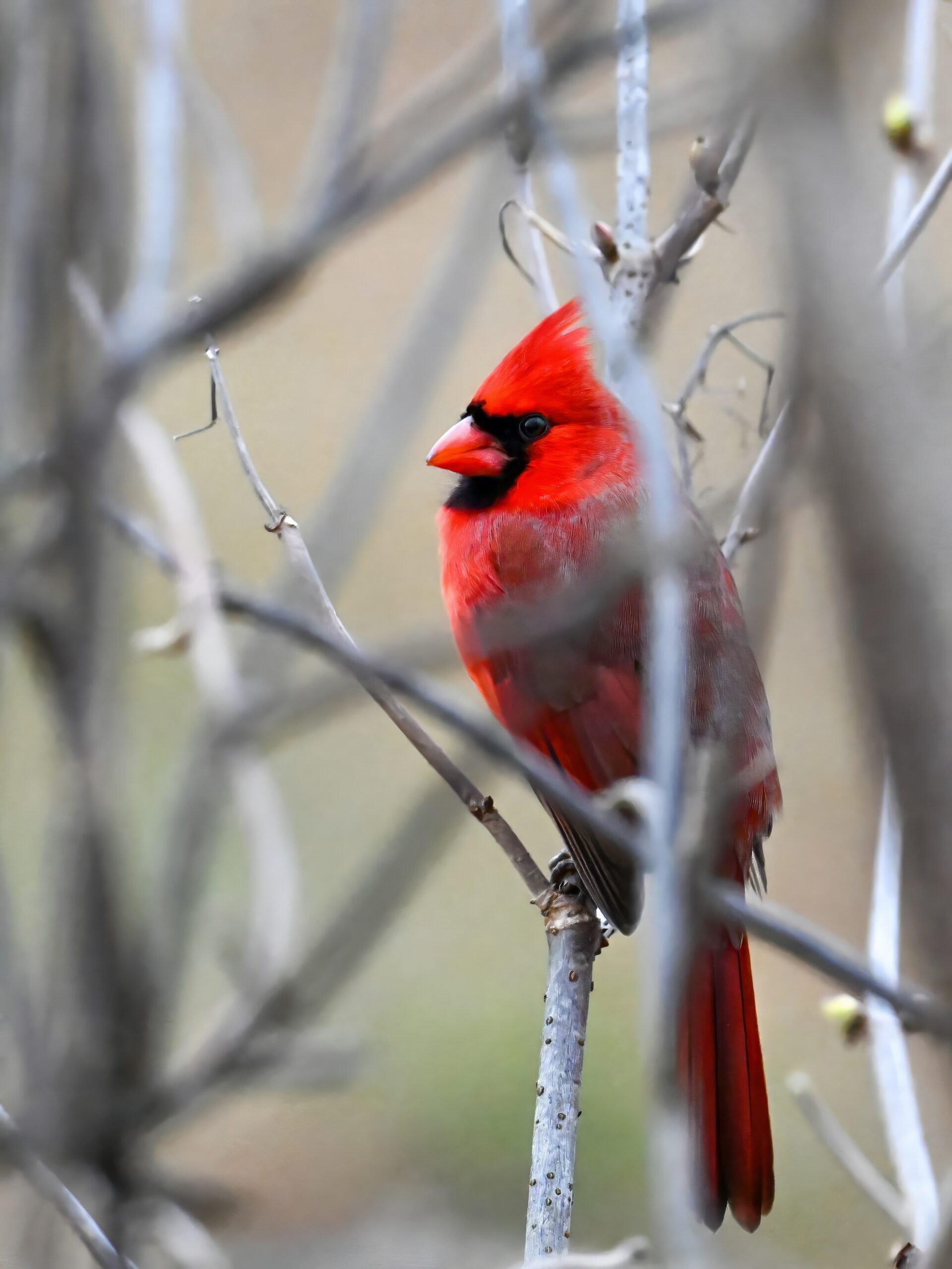
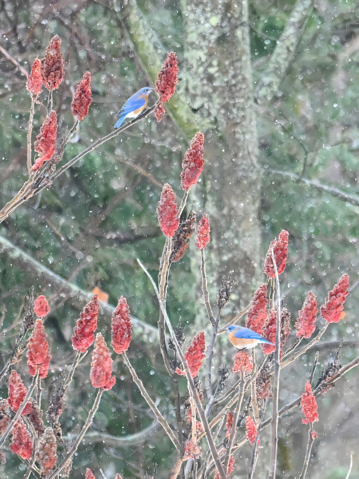
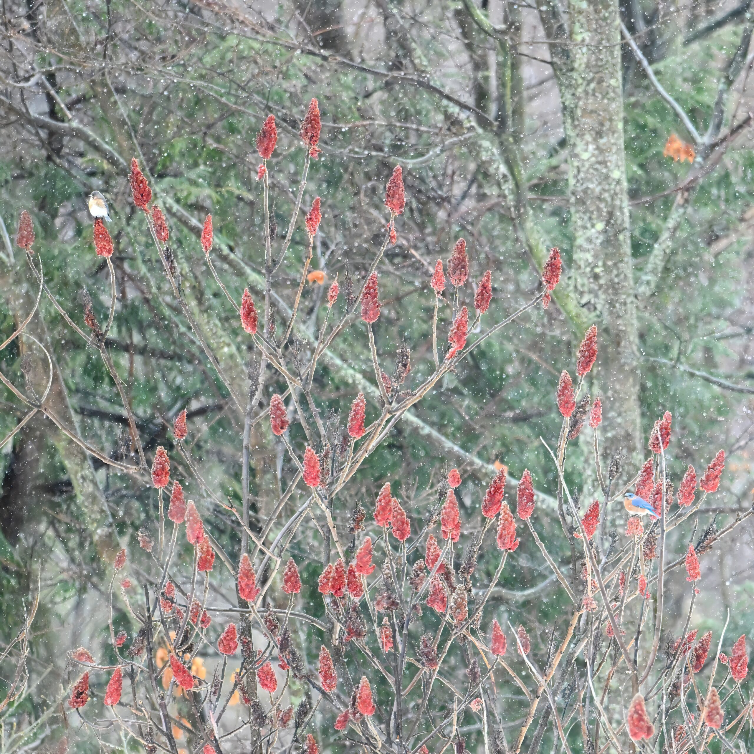
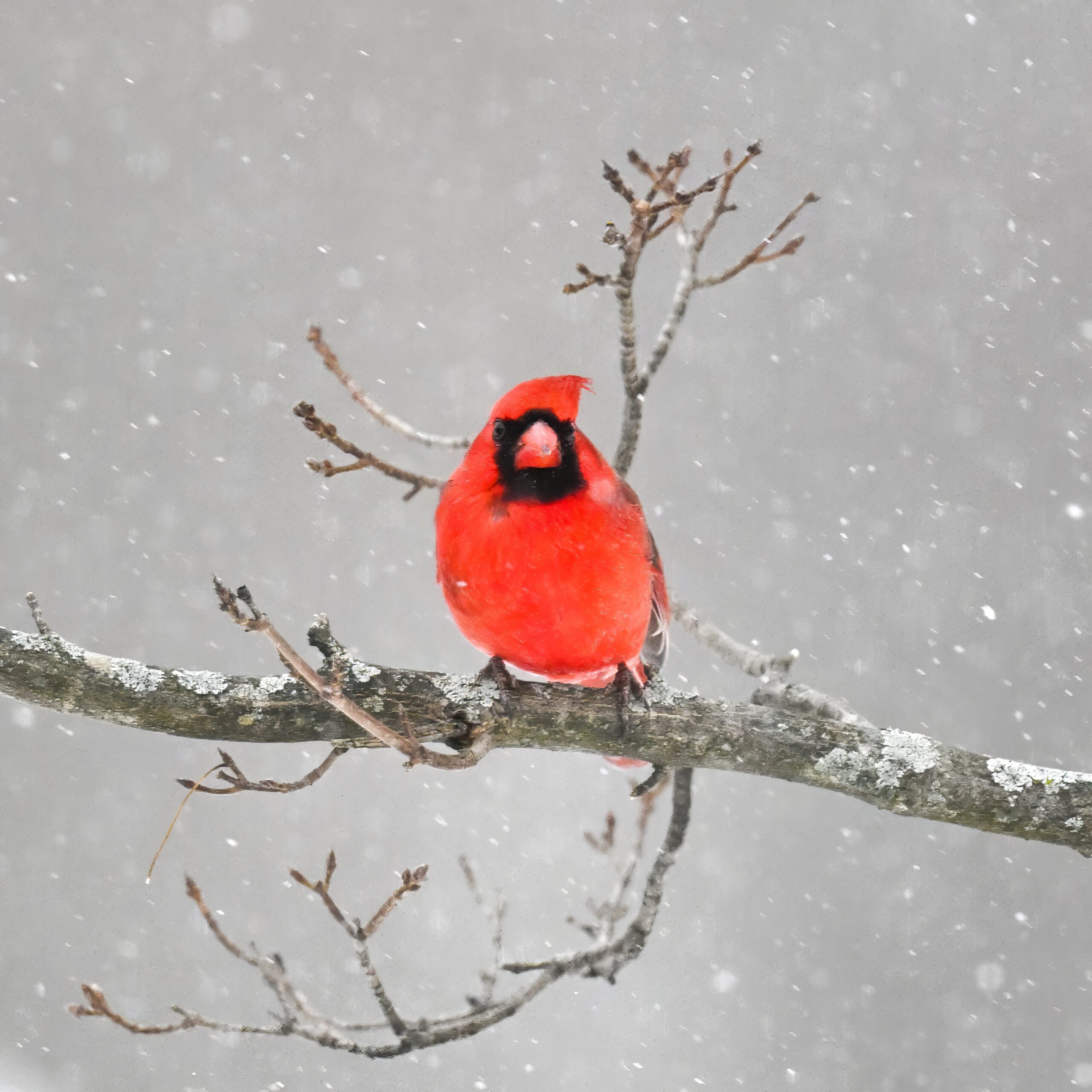
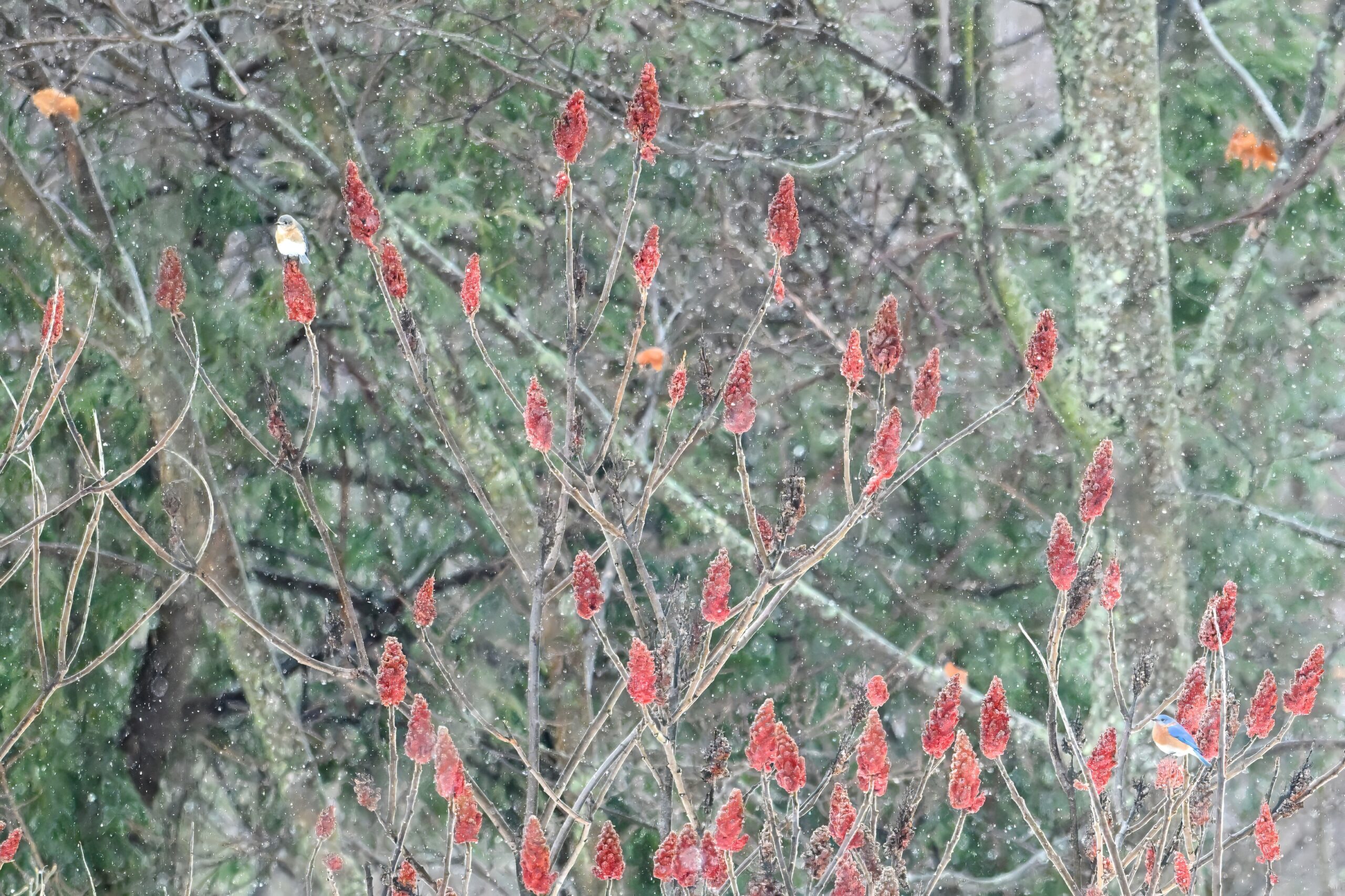
With this week’s extreme cold, it’s time for a bit of colour, with “pre-extreme cold,” winter birds in Millcreek Twp, Pennsylvania (“Gateway to Presque Isle”). First up, on the last rainy/warmer day, the first Eastern Bluebirds of the year!
Eastern Bluebird (m)
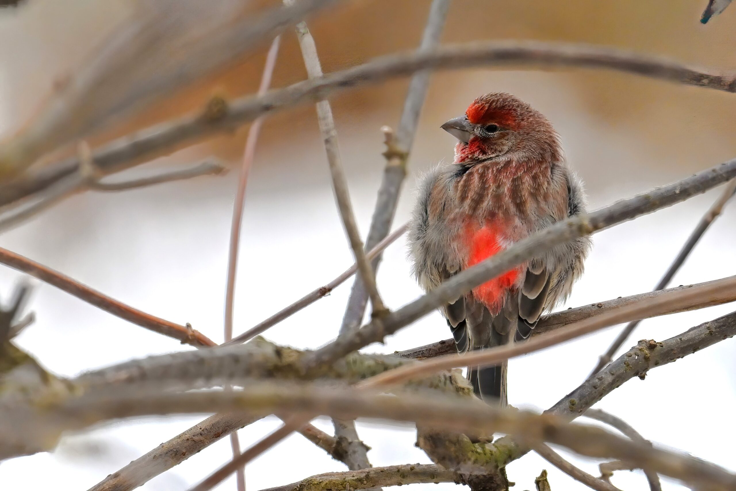
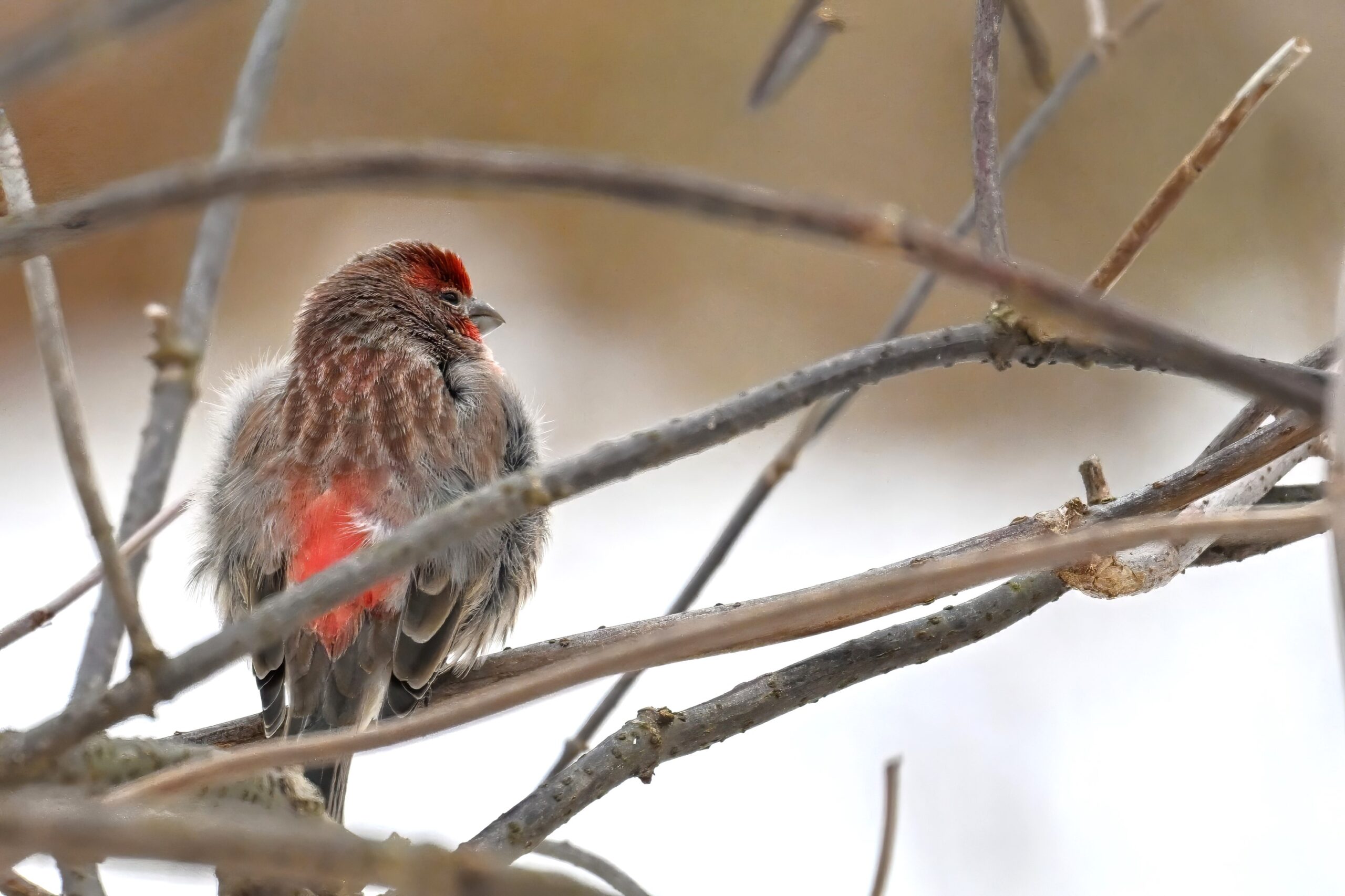
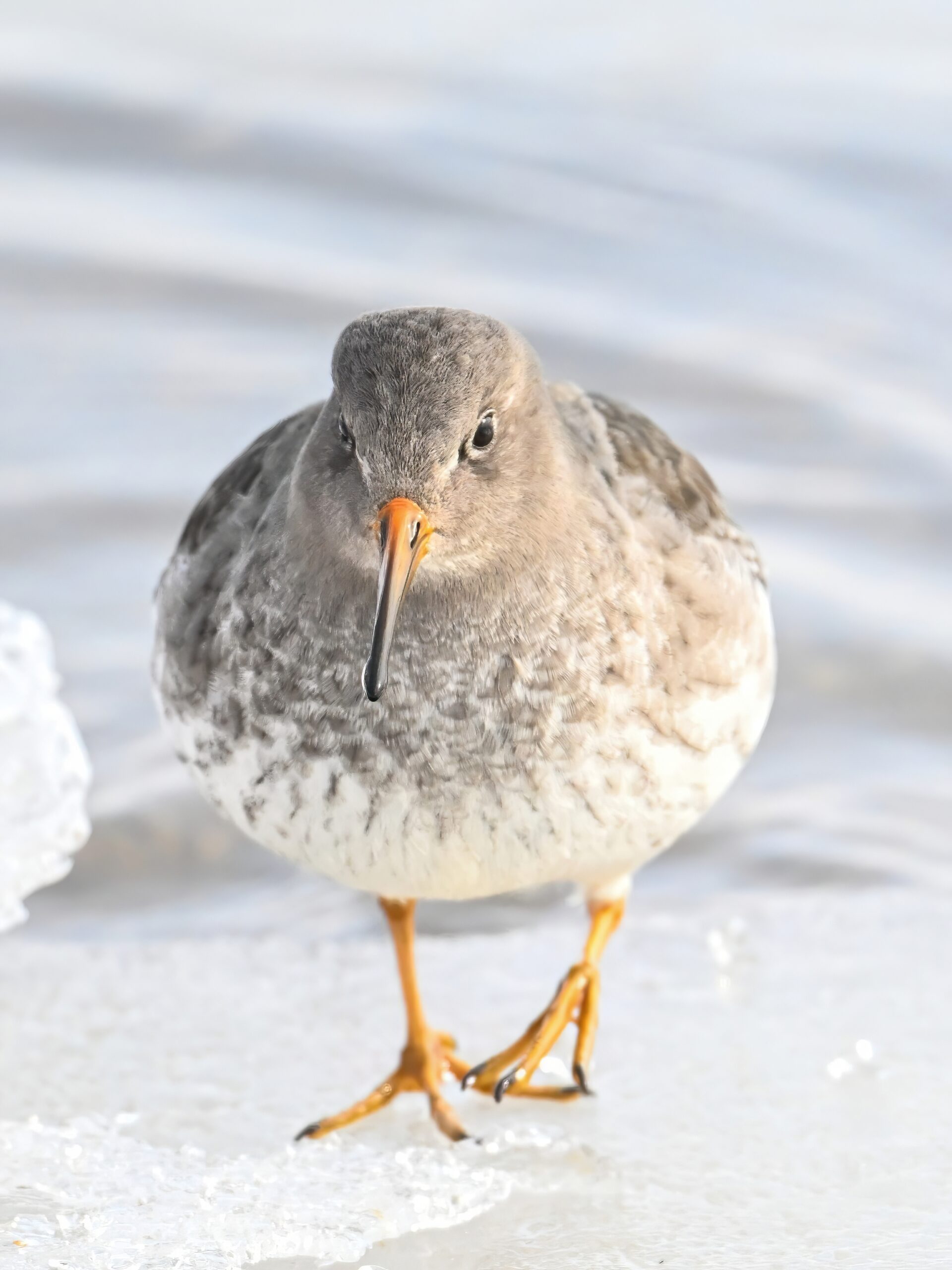
Nice view of a male House Finch’s typical red rump:
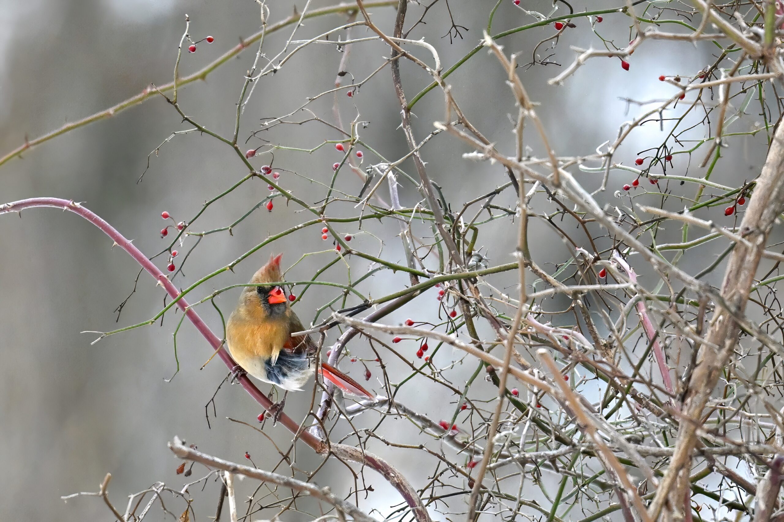
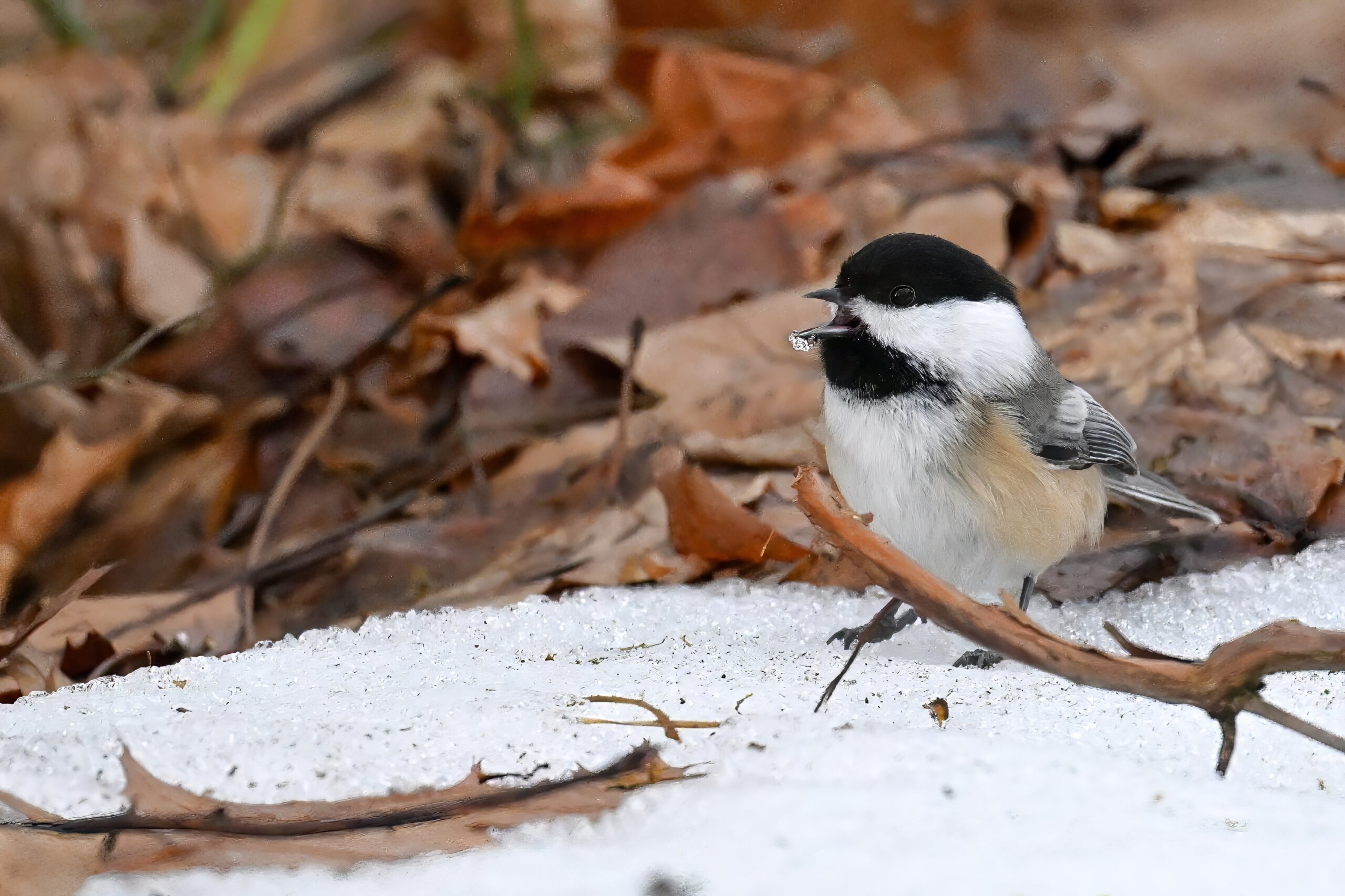
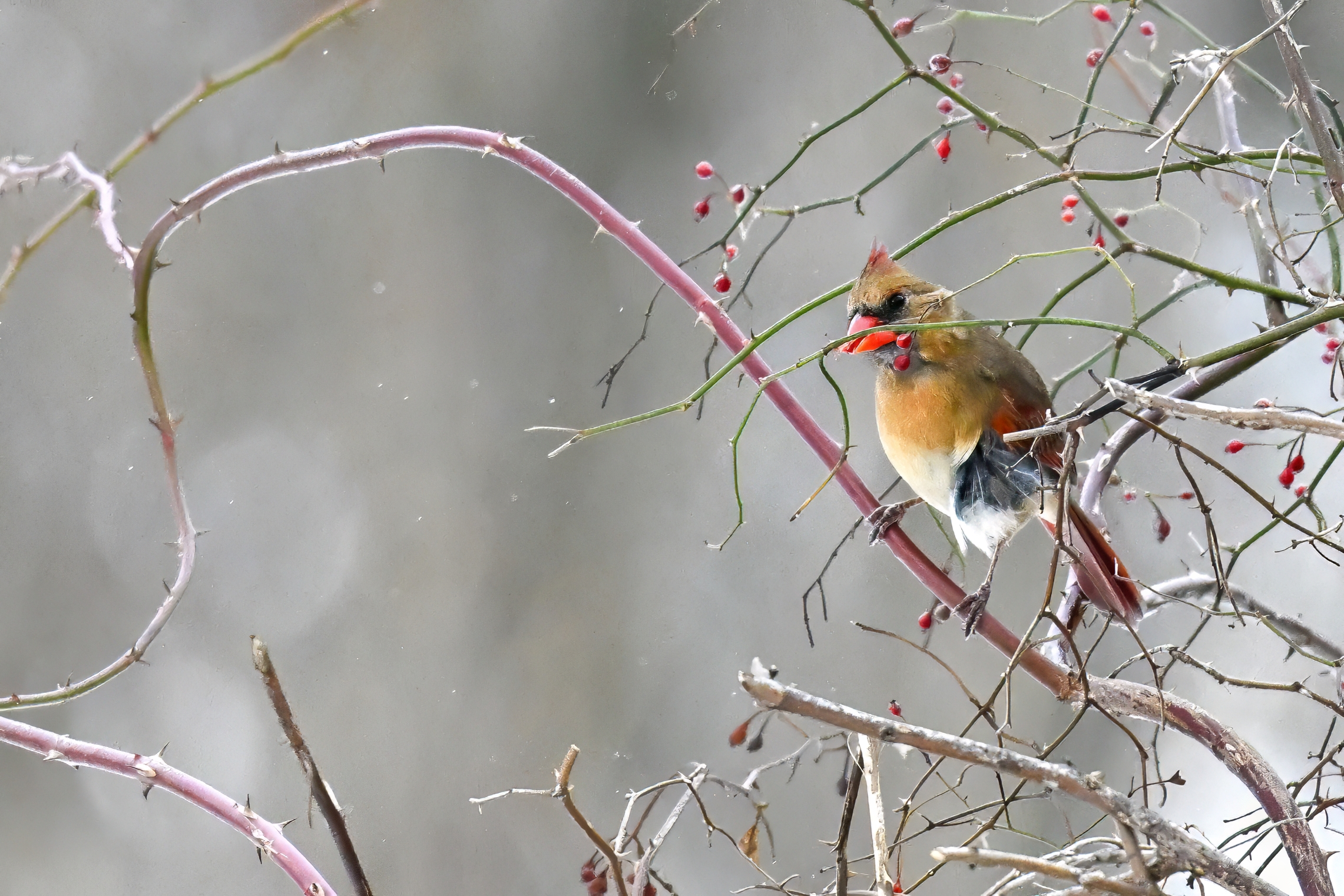
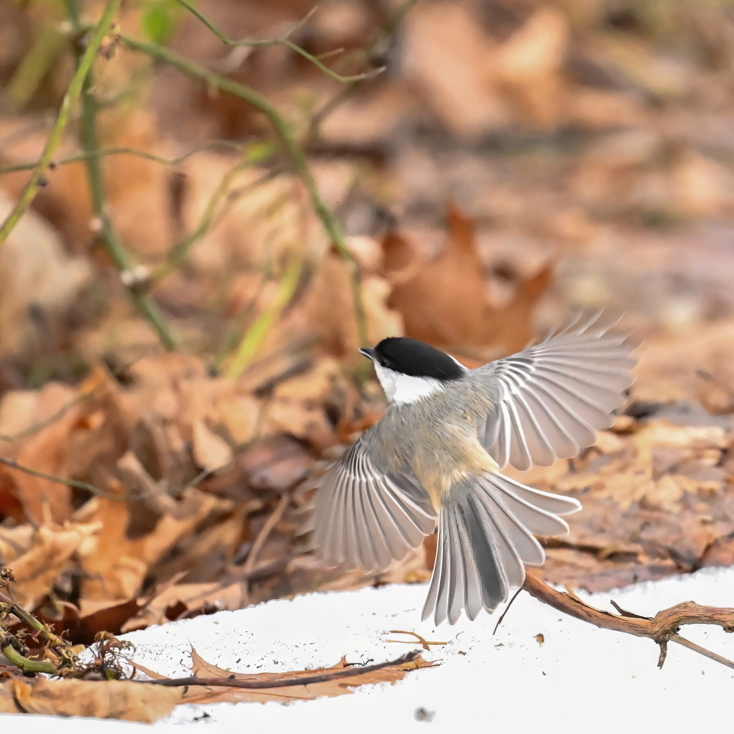
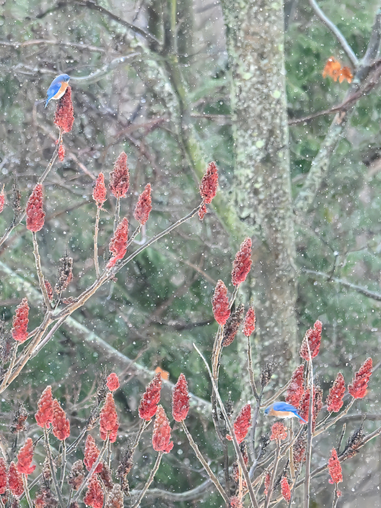
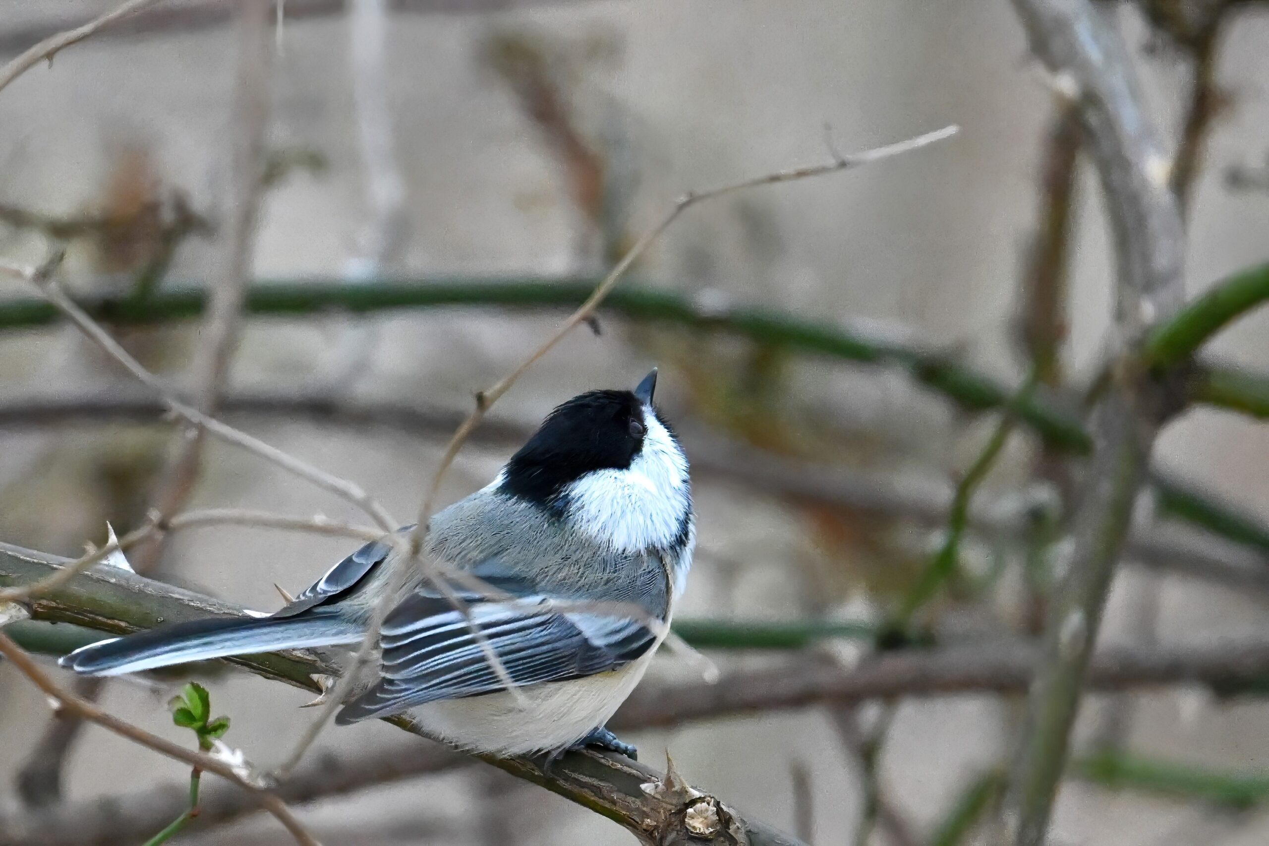
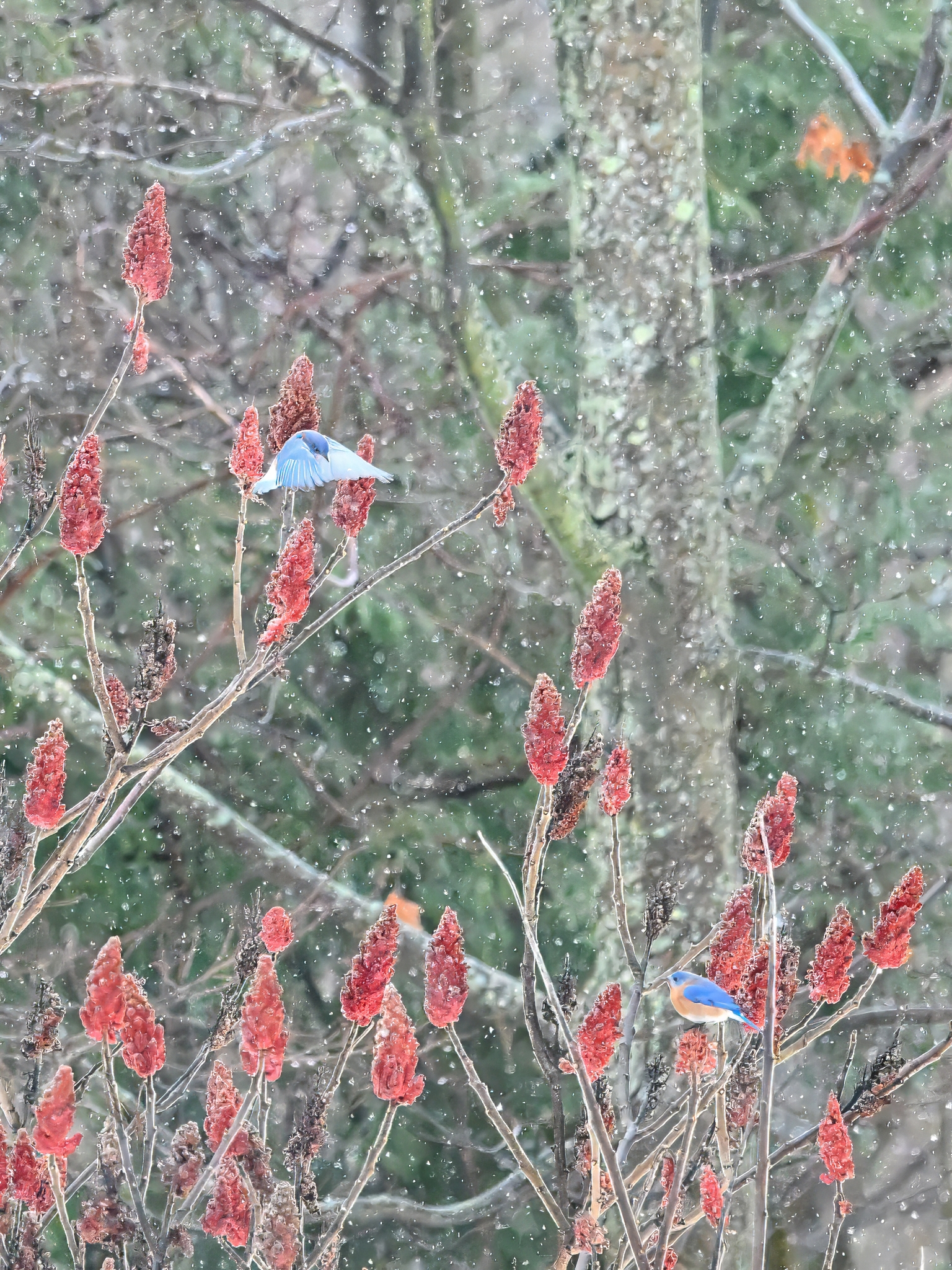
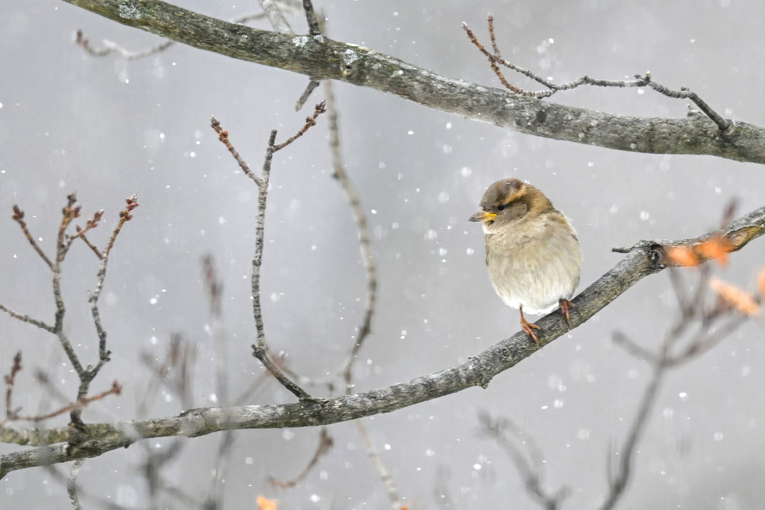
Finch IForaging female Northern CardinalTwo male Eastern BluebirdsBlack-capped ChickadeeFinch IIForaging Cardinal IITwo Bluebirds IIForaging Cardinal IIIChickadee IIForaging Cardinal IVTwo Bluebirds IIIChickadee IIITwo Bluebirds IVChickadee IVTwo Bluebirds VMale Northern CardinalTwo Bluebirds VIHouse Sparrow (f?) in snowFemale Eastern Bluebird (l) + male (r)Male Cardinal in snowFinal two Bluebirds
Coldest morning yet this season in Erie County, Pennsylvania today, w/ temps at sunrise approximately -20 deg C (-3 deg F). Sunny though, at least for now (clouds/probably lake-effect snow later), like yesterday, shown here at a very quick, frigid stop at South Pier:
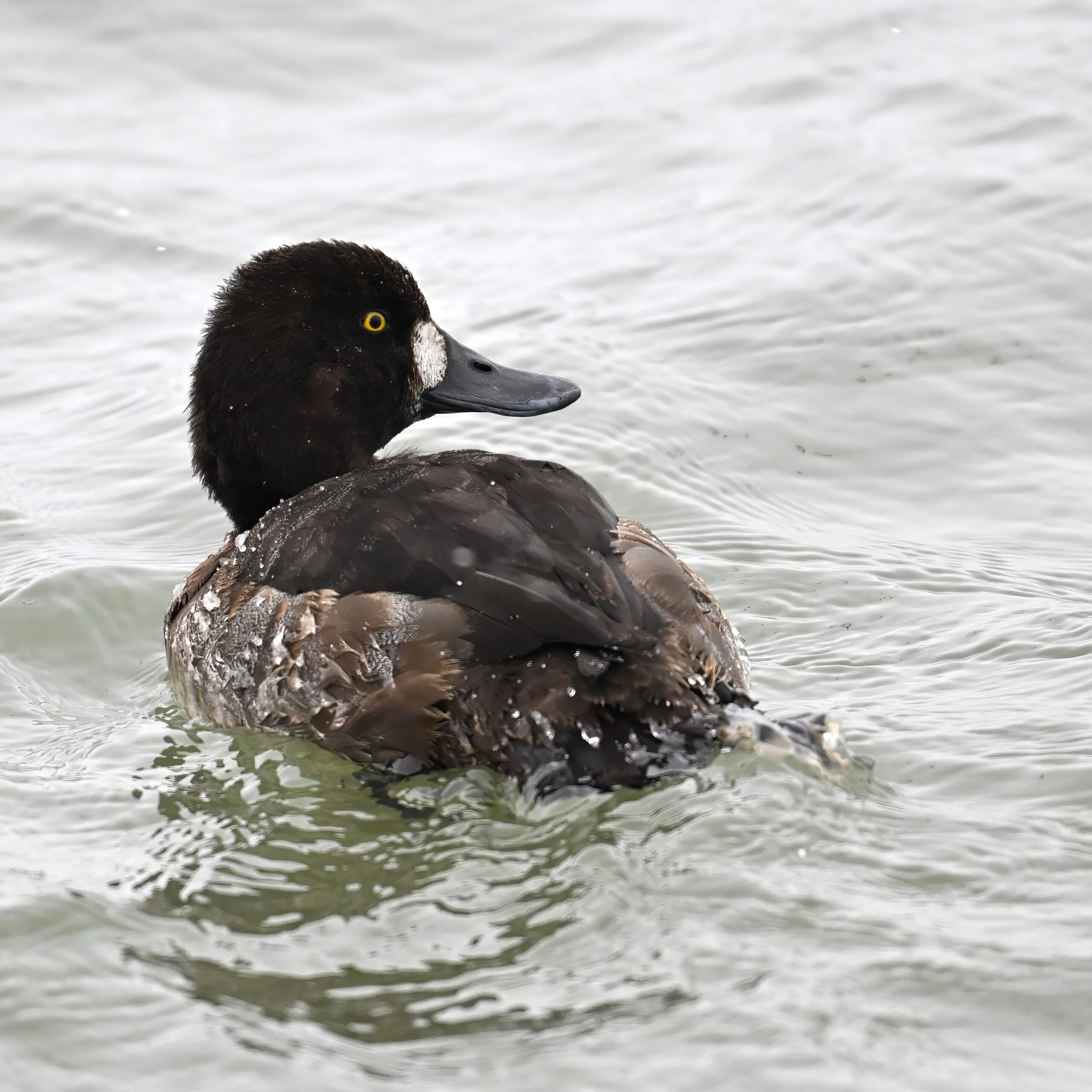
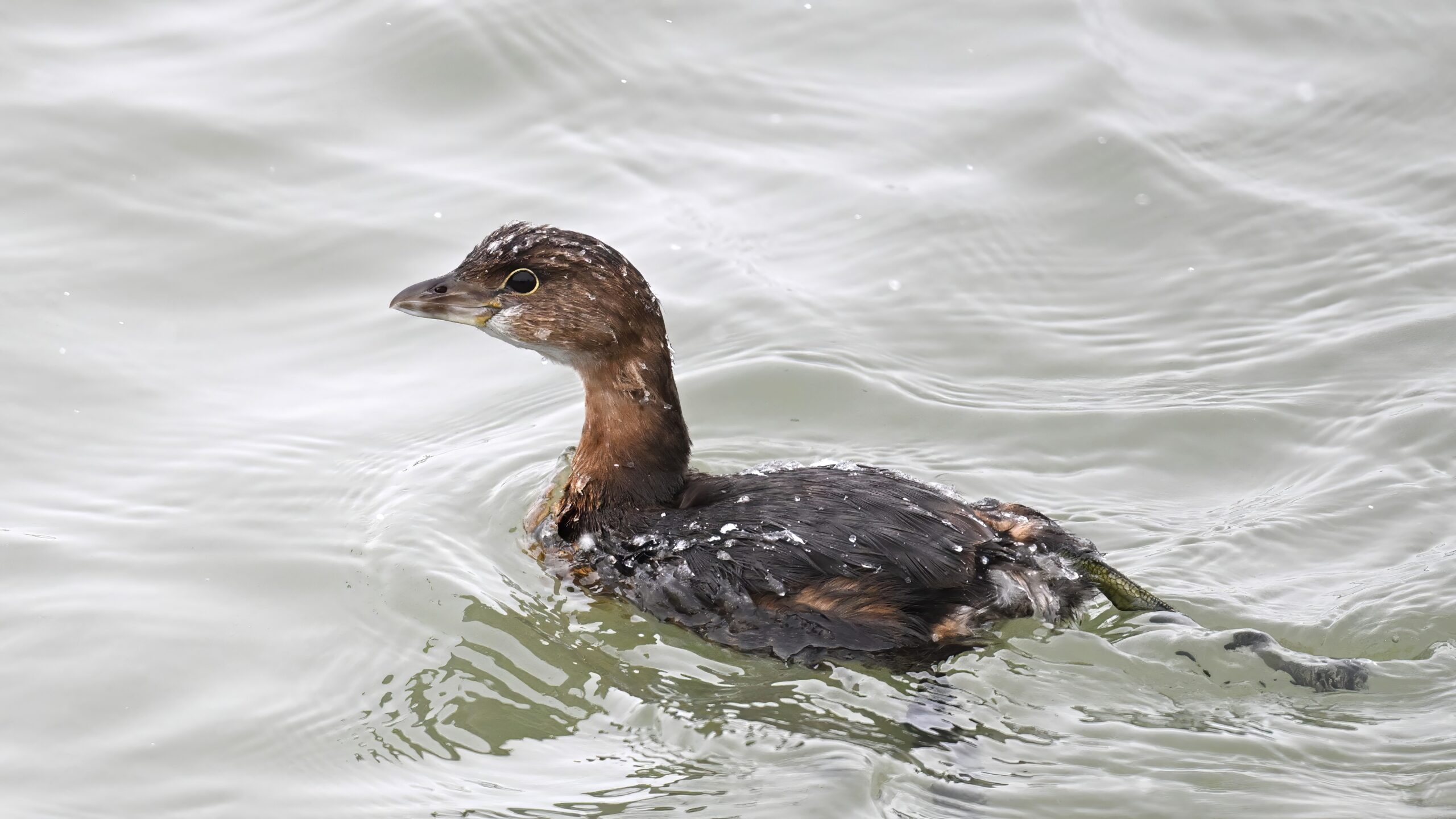
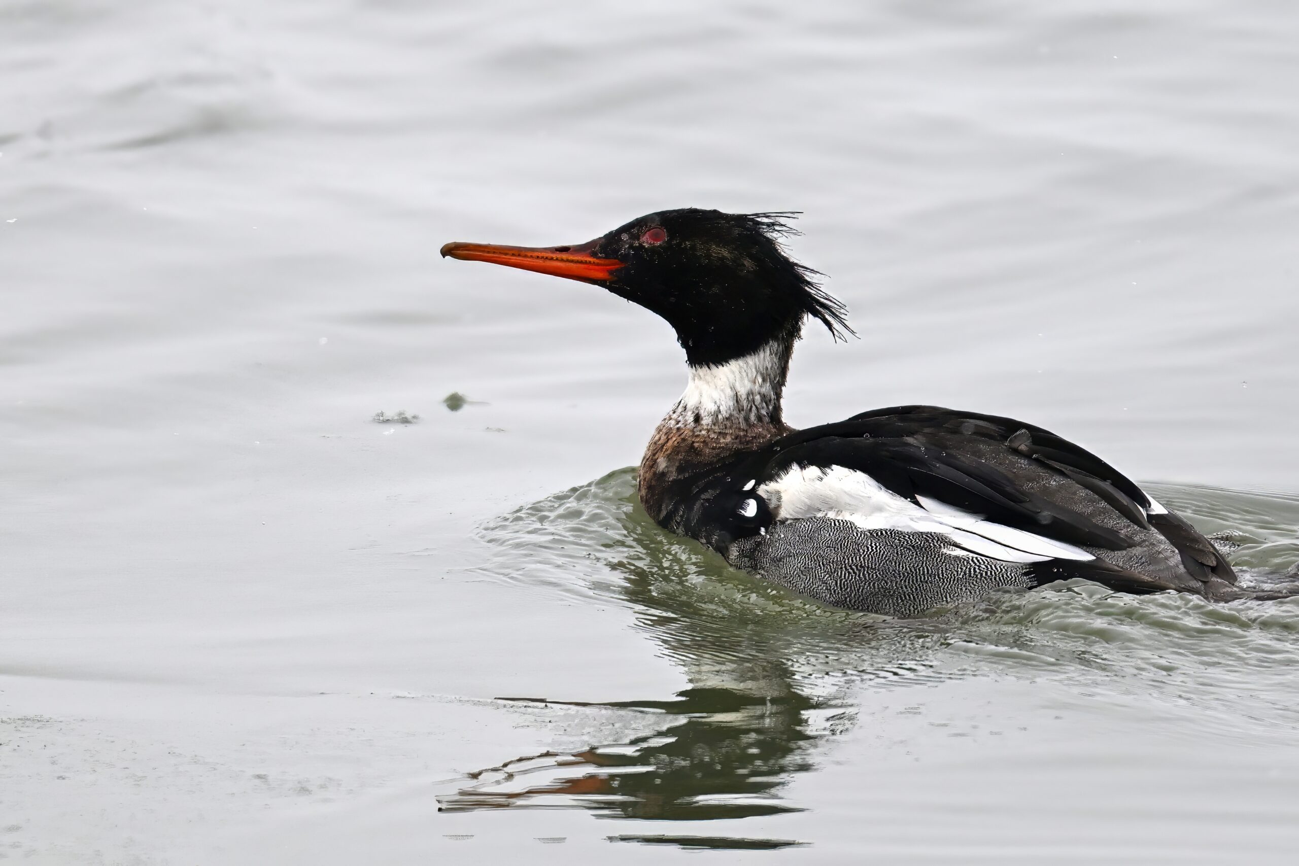
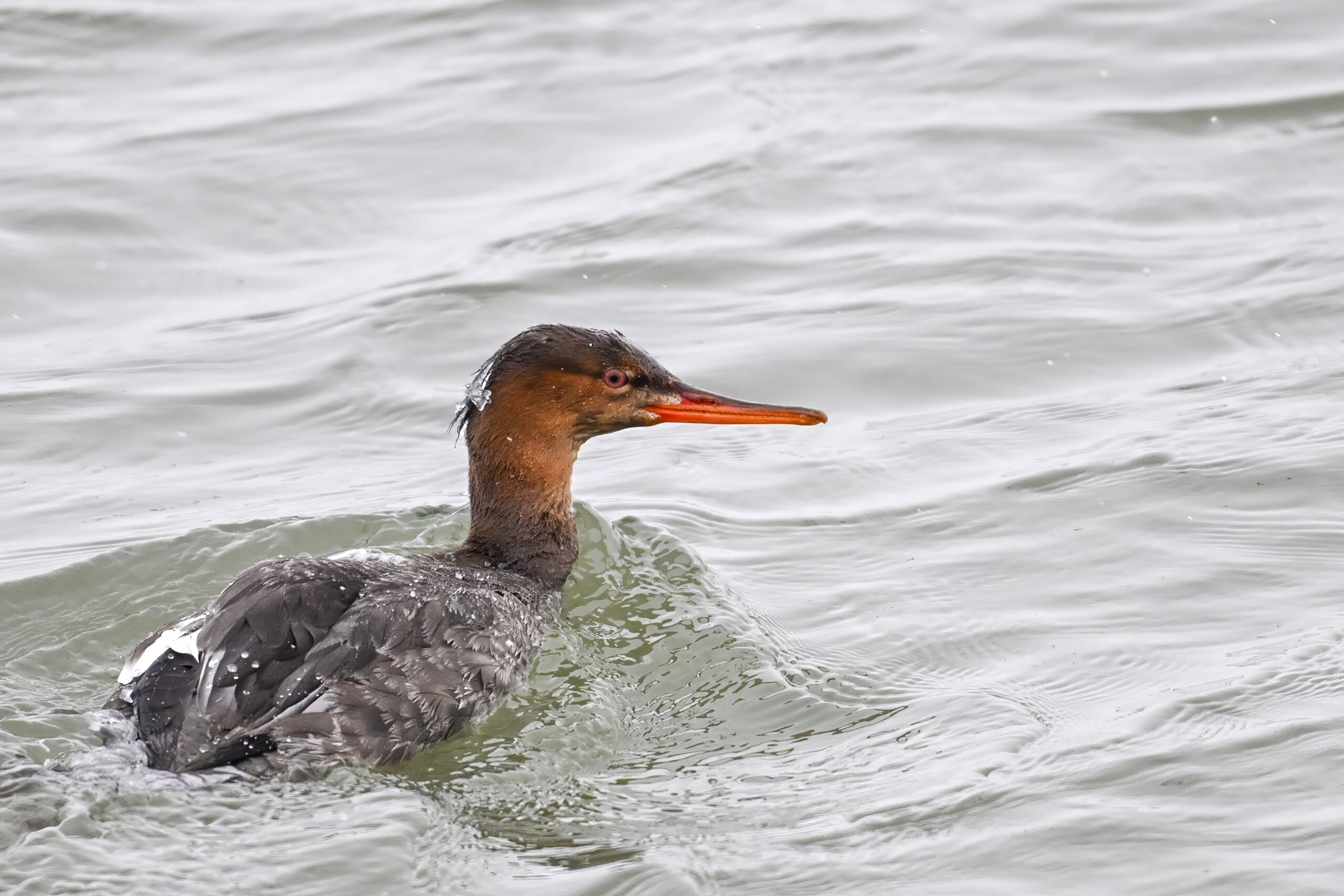
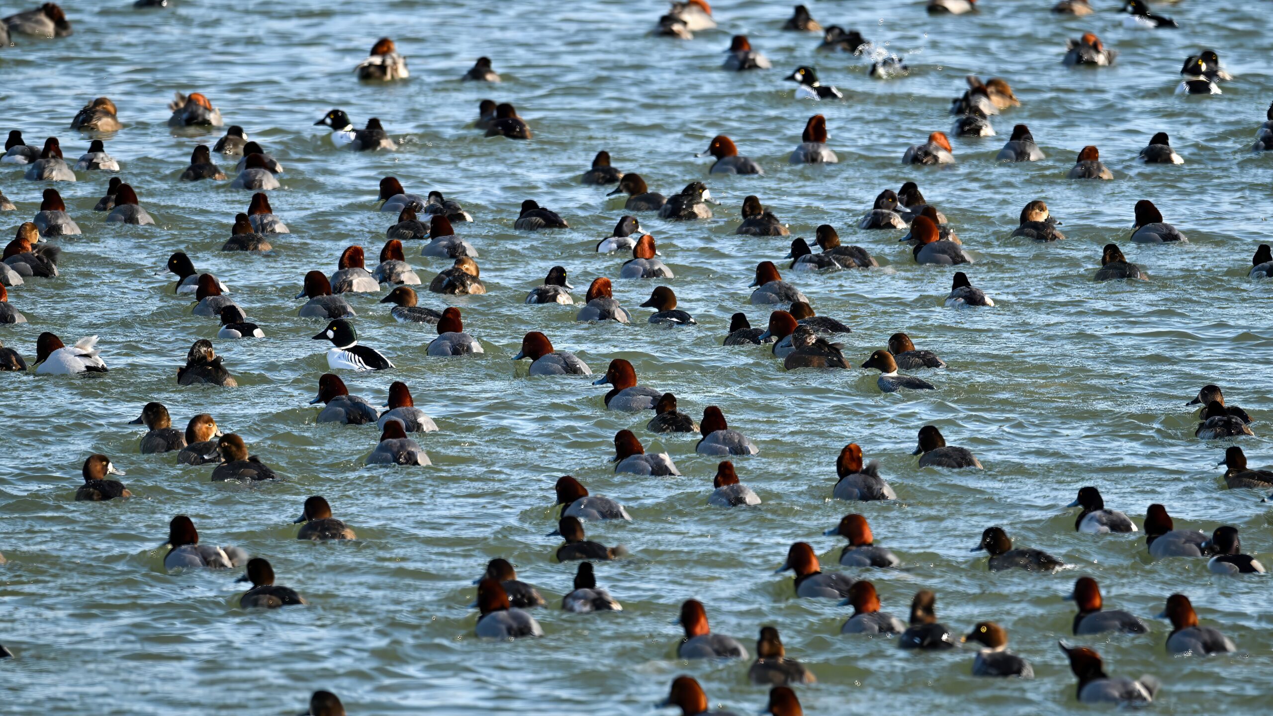
A few ducks
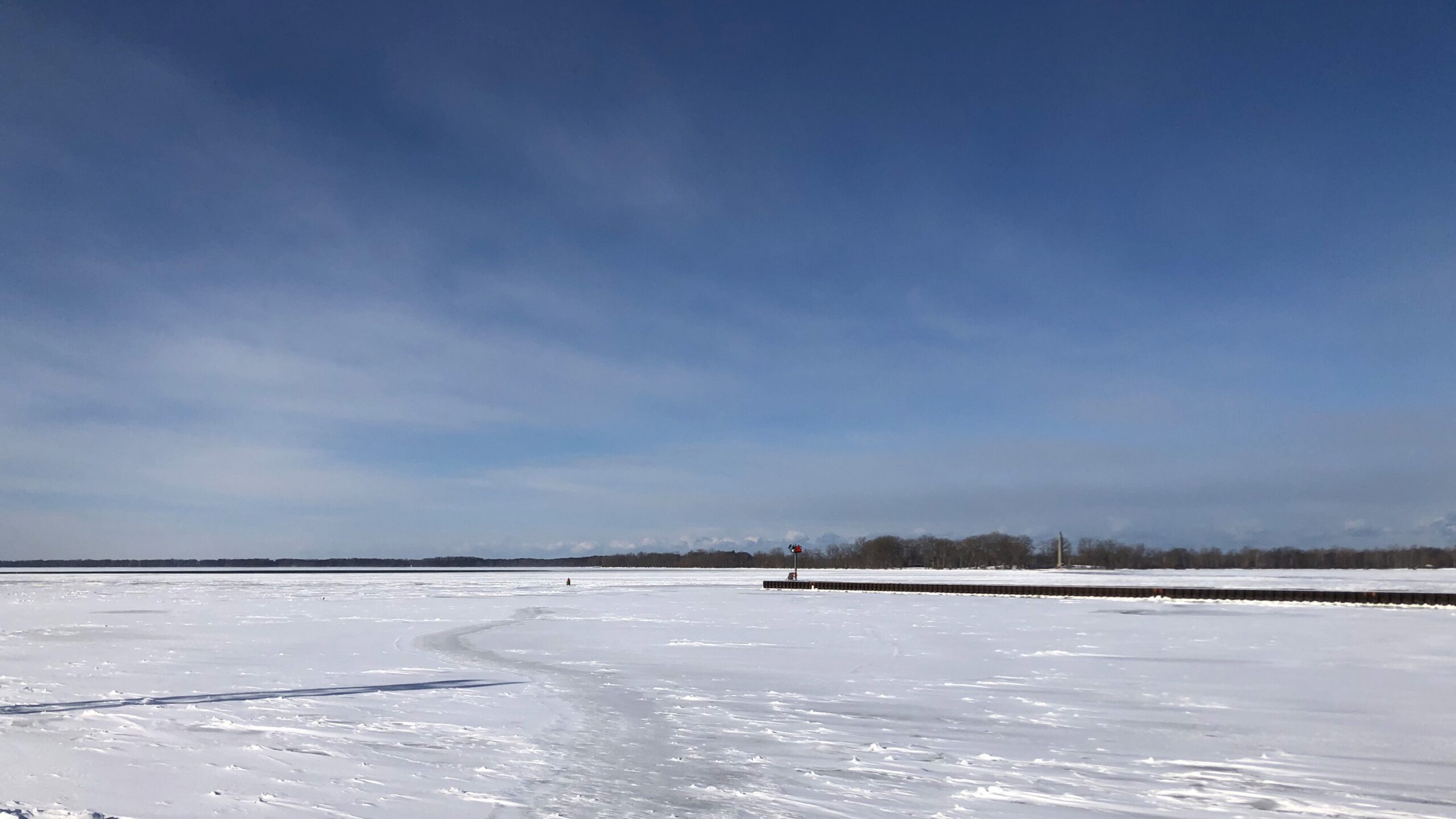
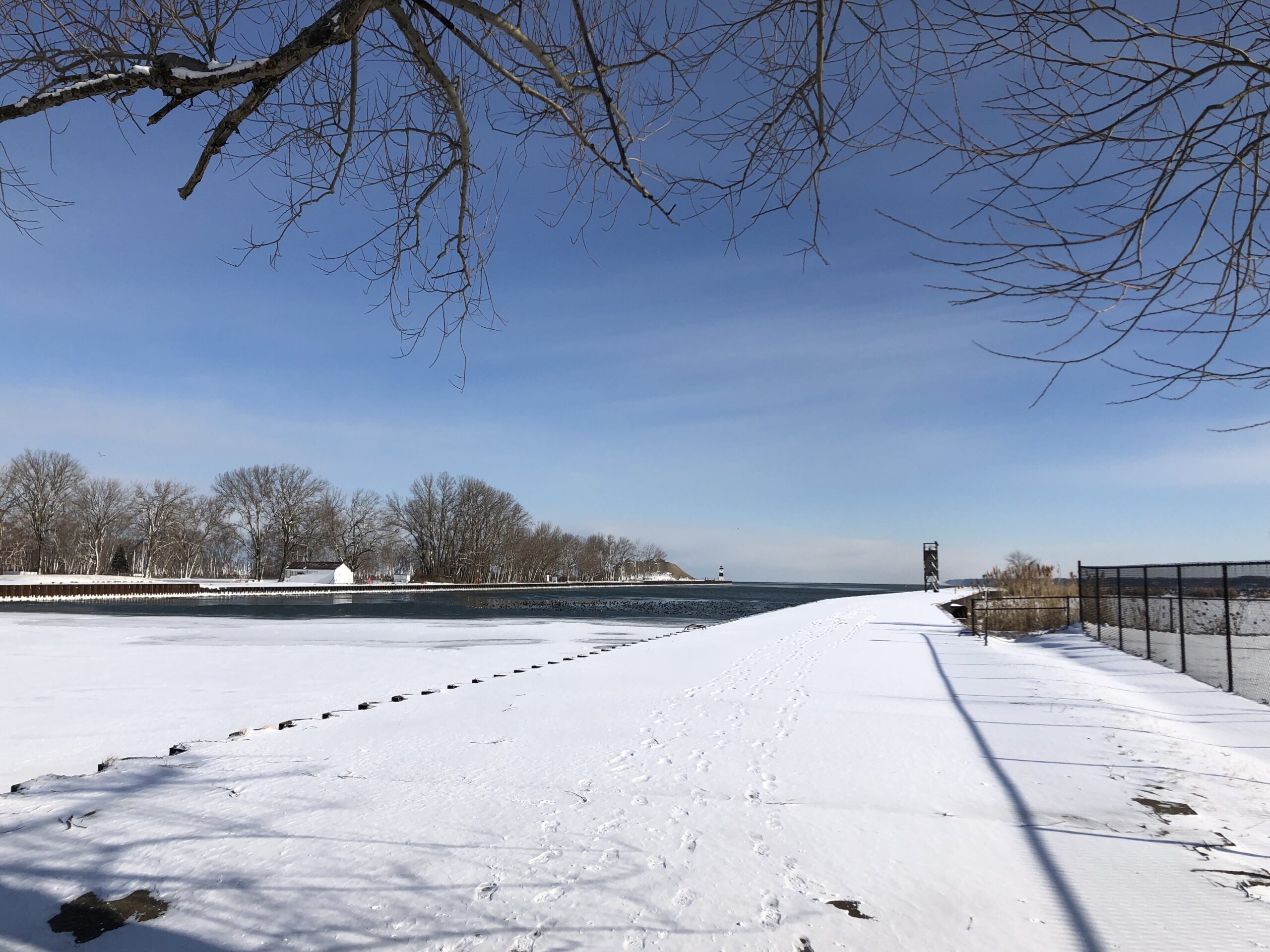
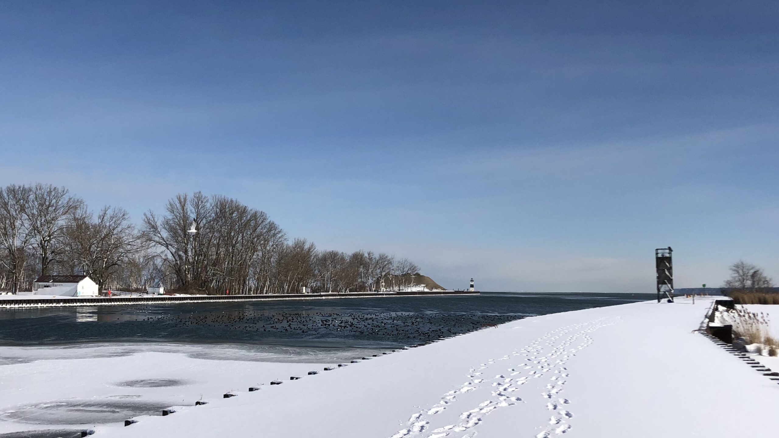
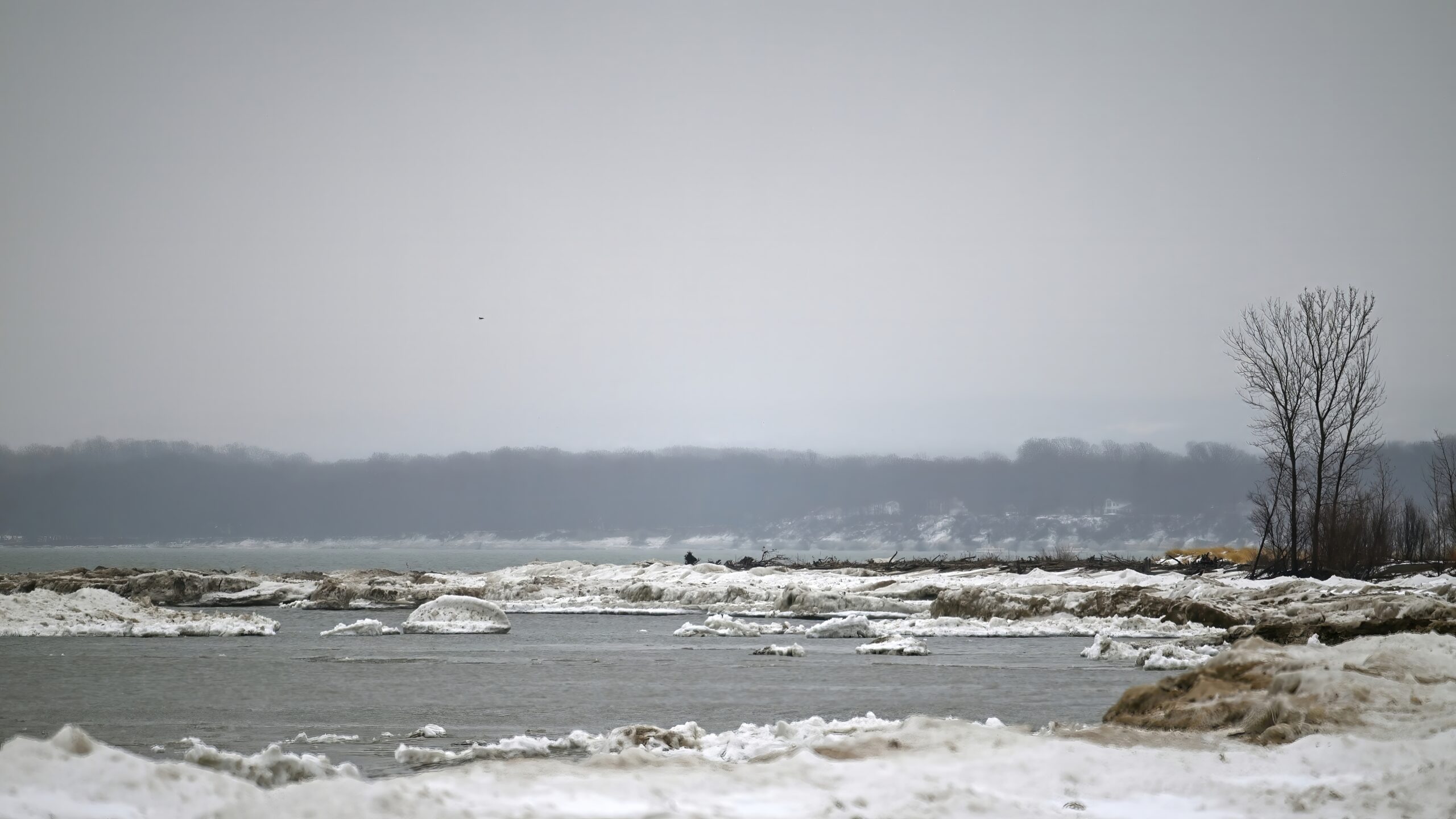
Ice conditions rapidly changing with the cold. Here’s a view of the west end of the Presque Isle Bay entrance channel, showing Presque Isle Bay on left and Misery Bay on right, w/ west end of North Pier (on right, foreground) + Perry Monument (horizon on right):
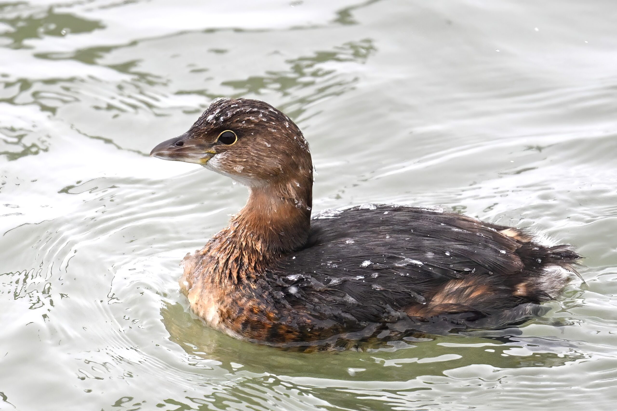
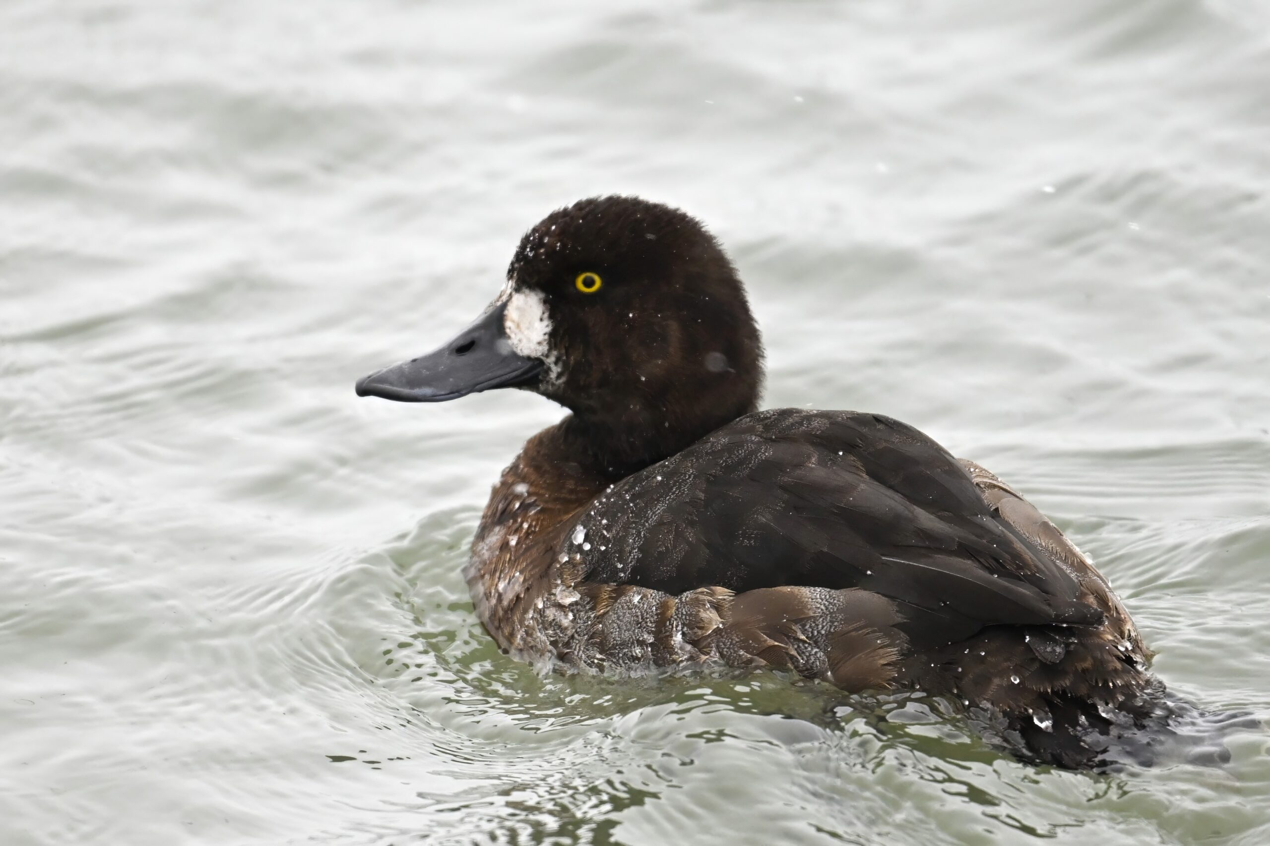
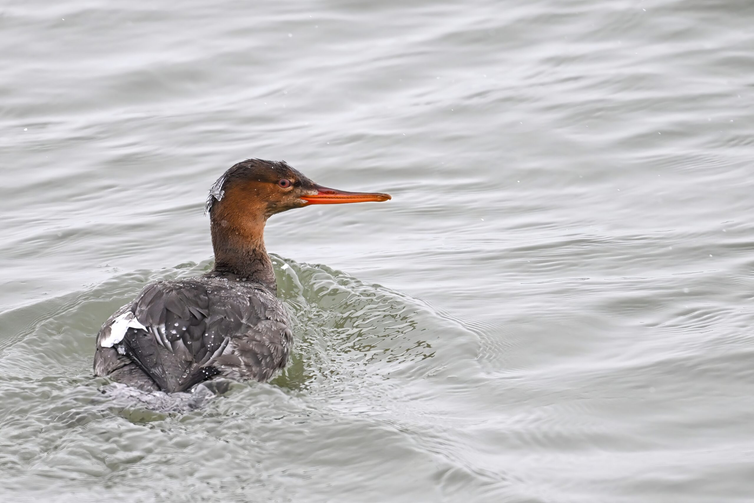
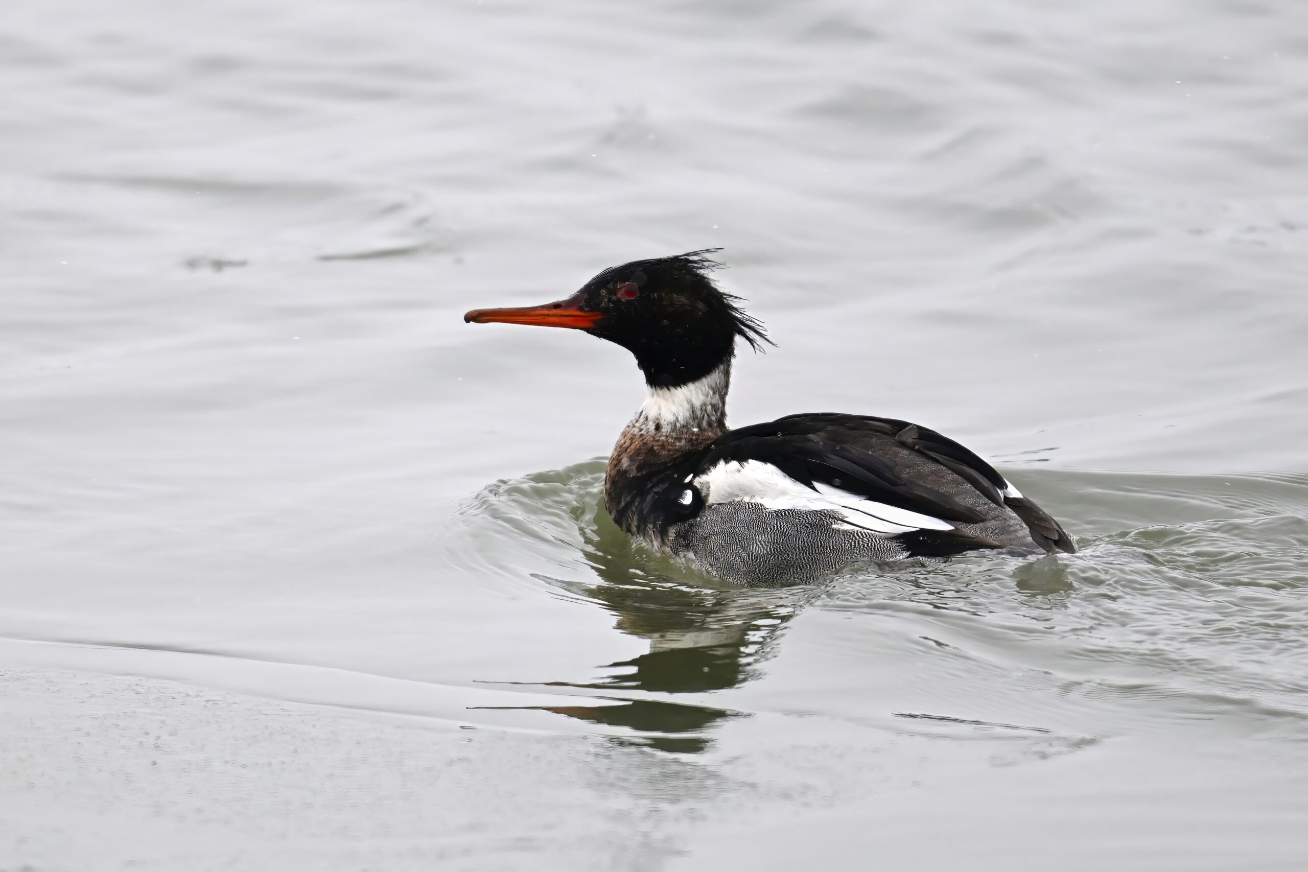
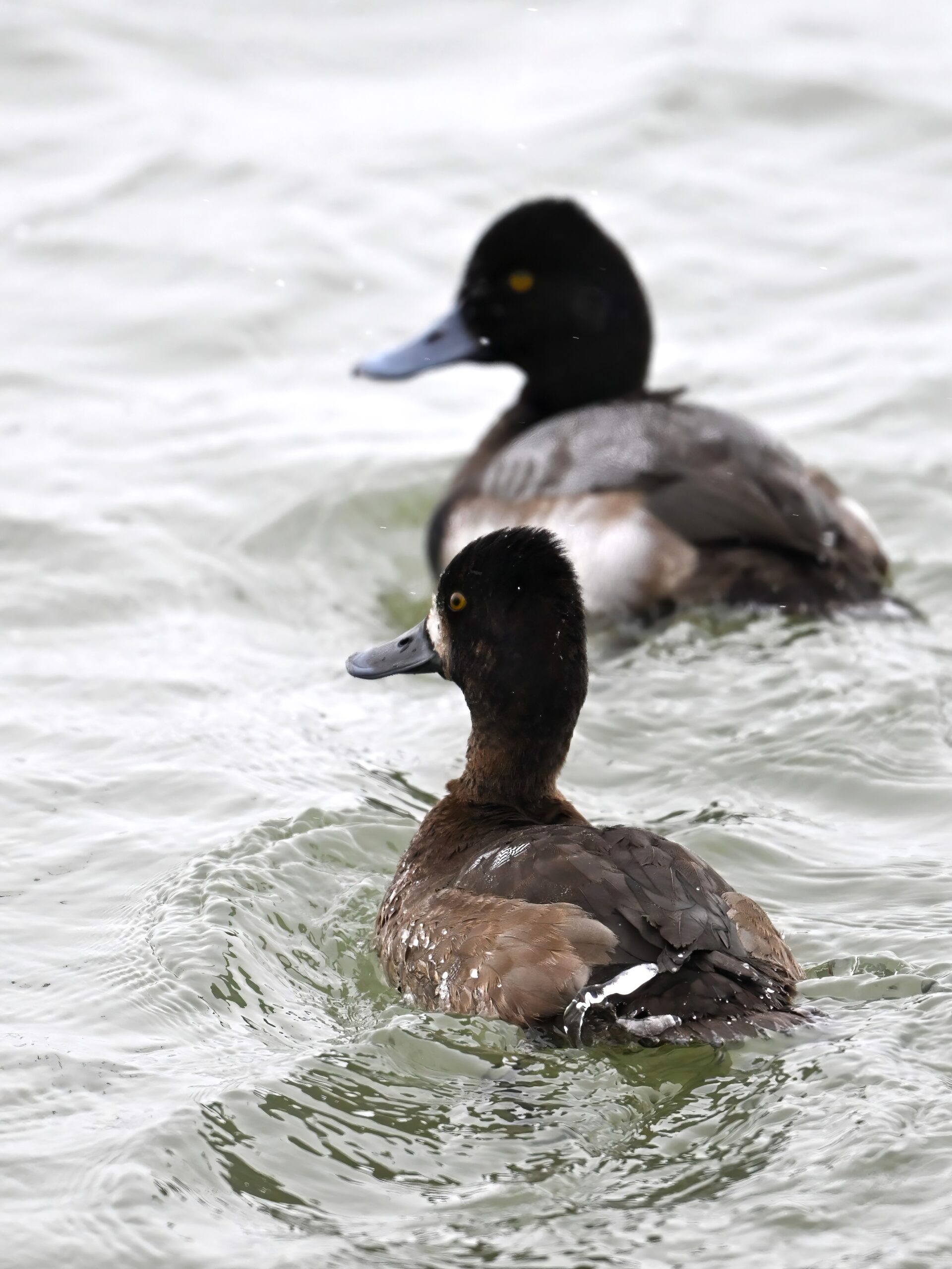
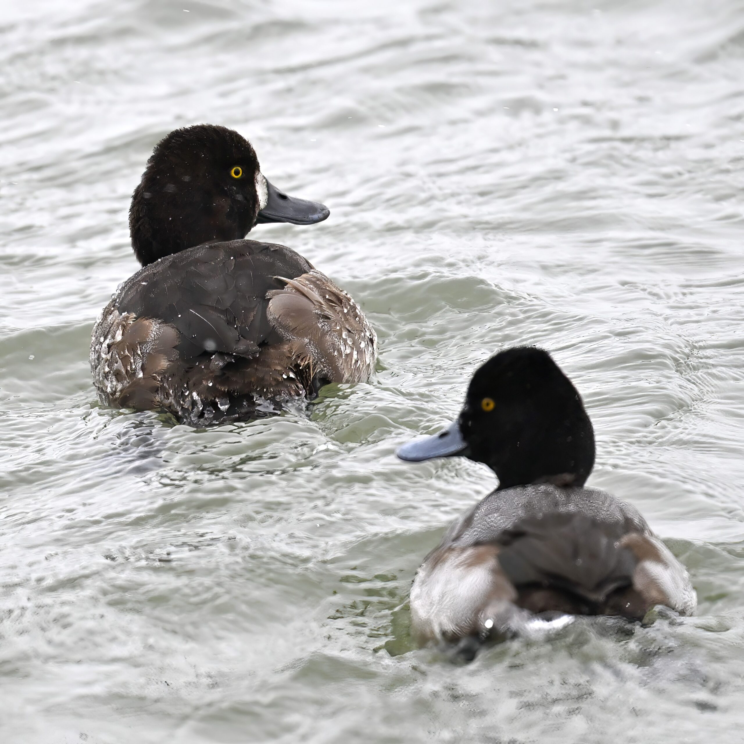
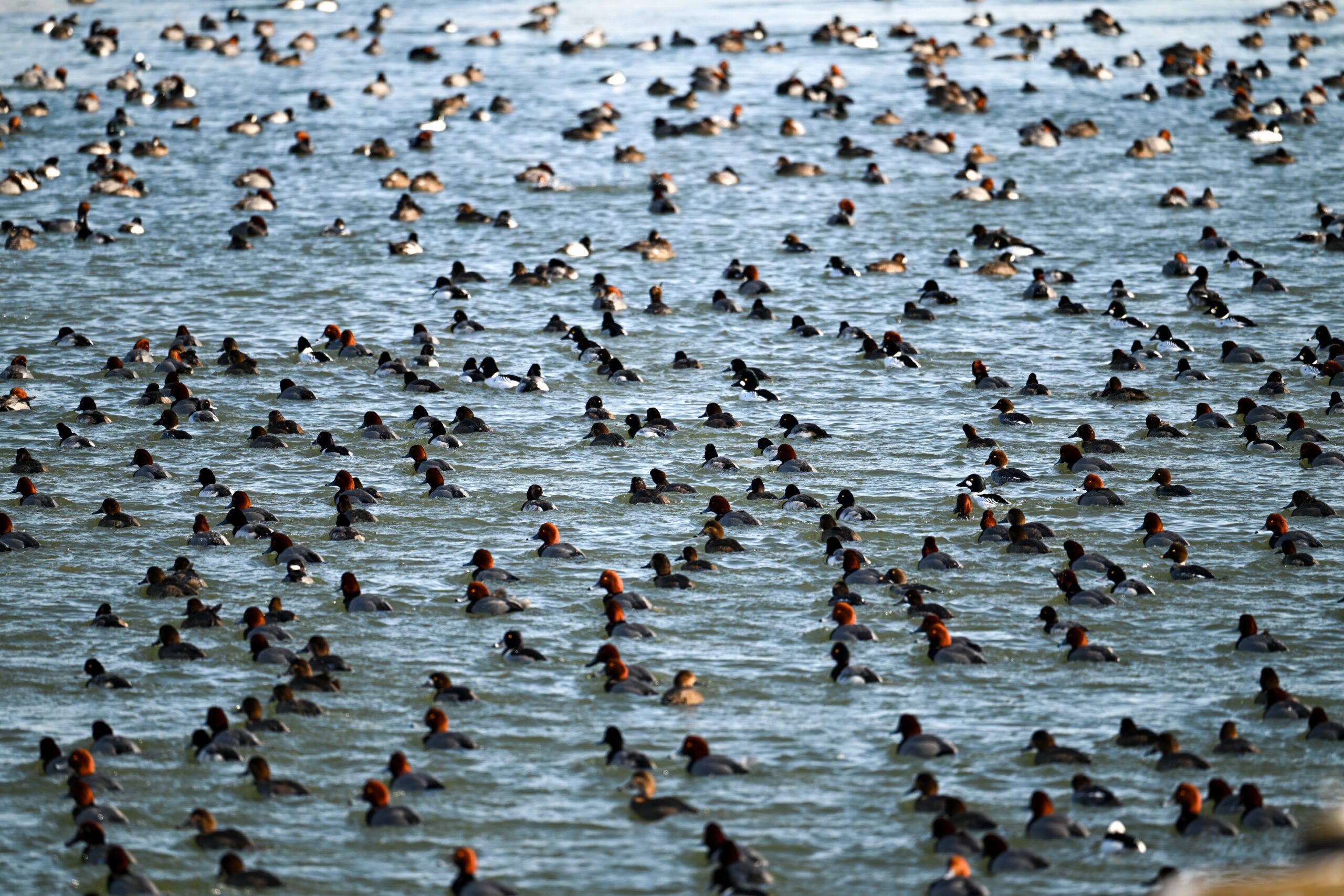
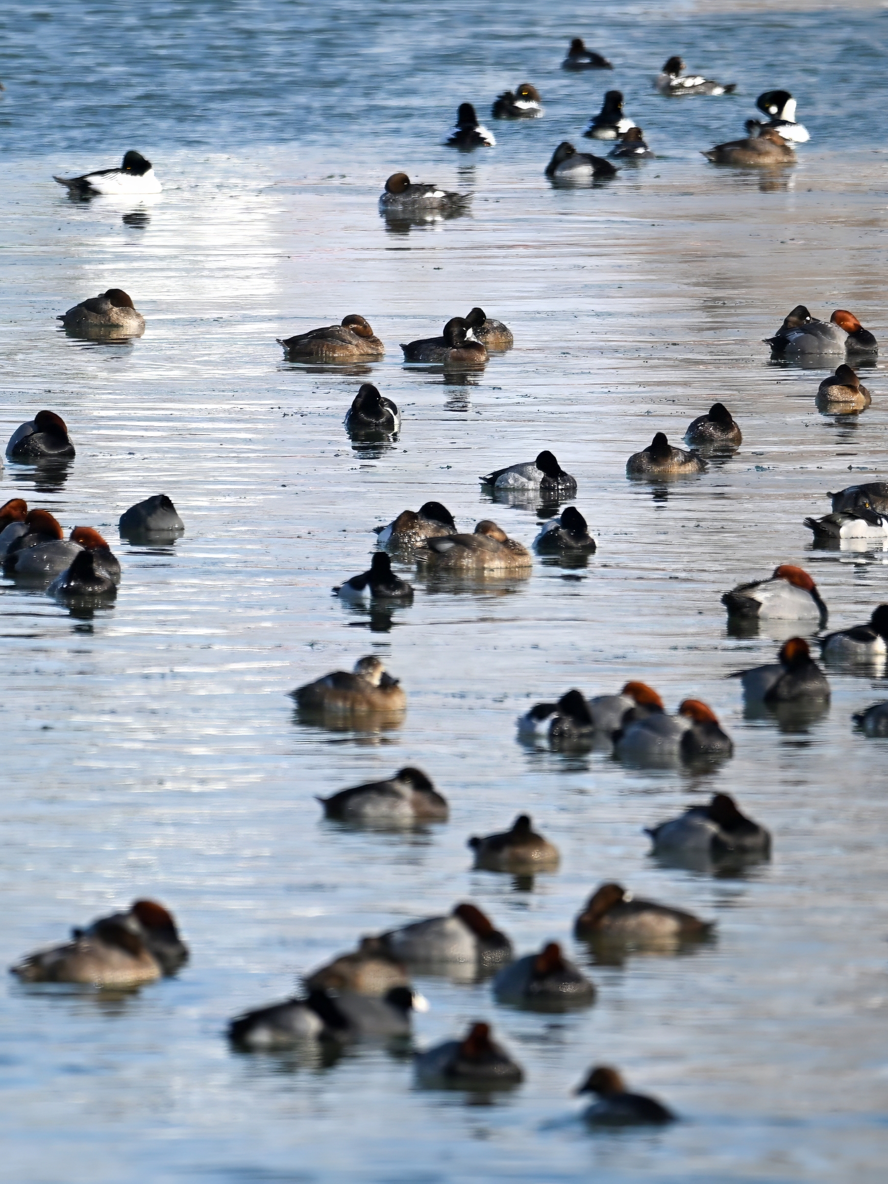
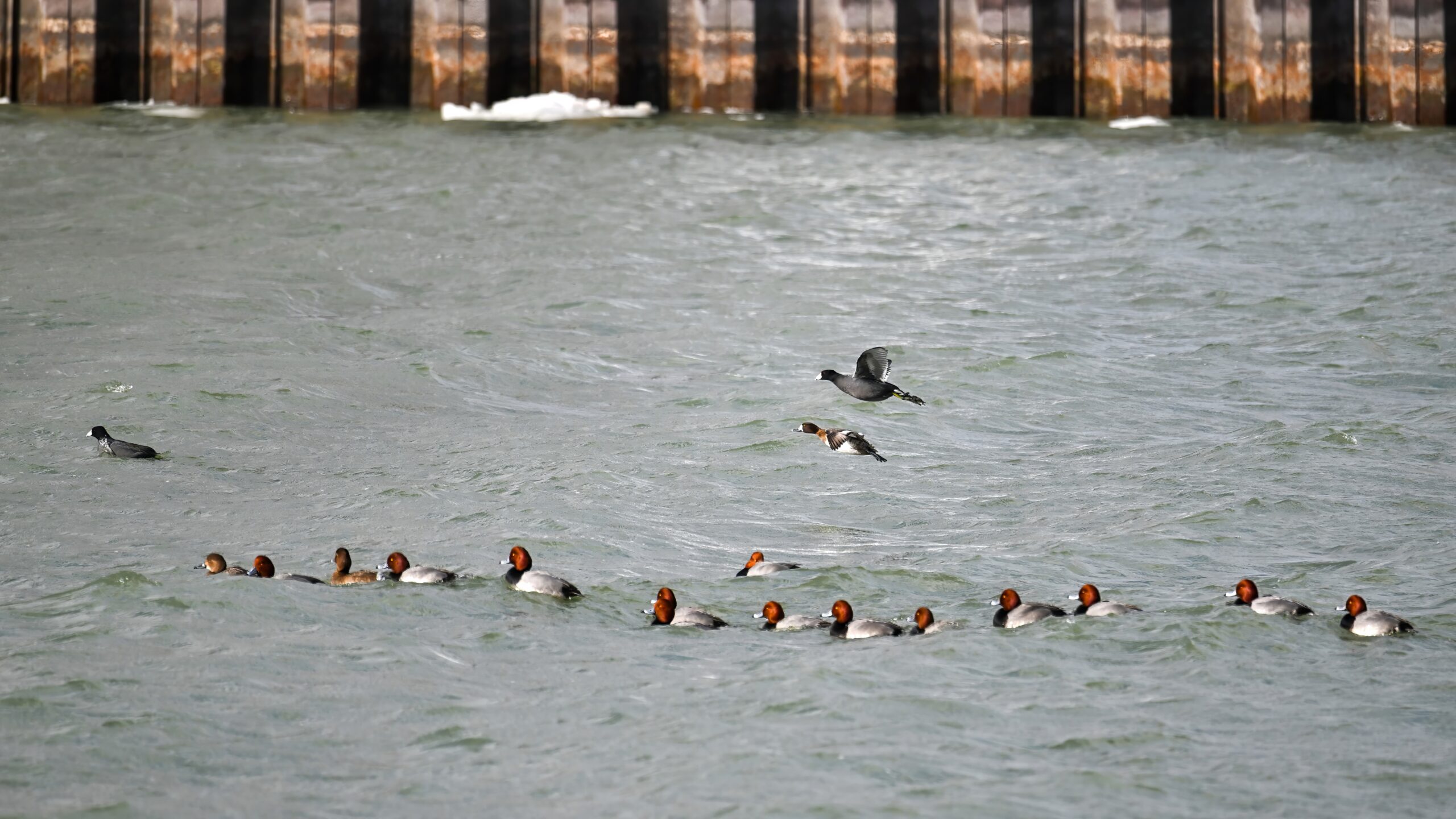
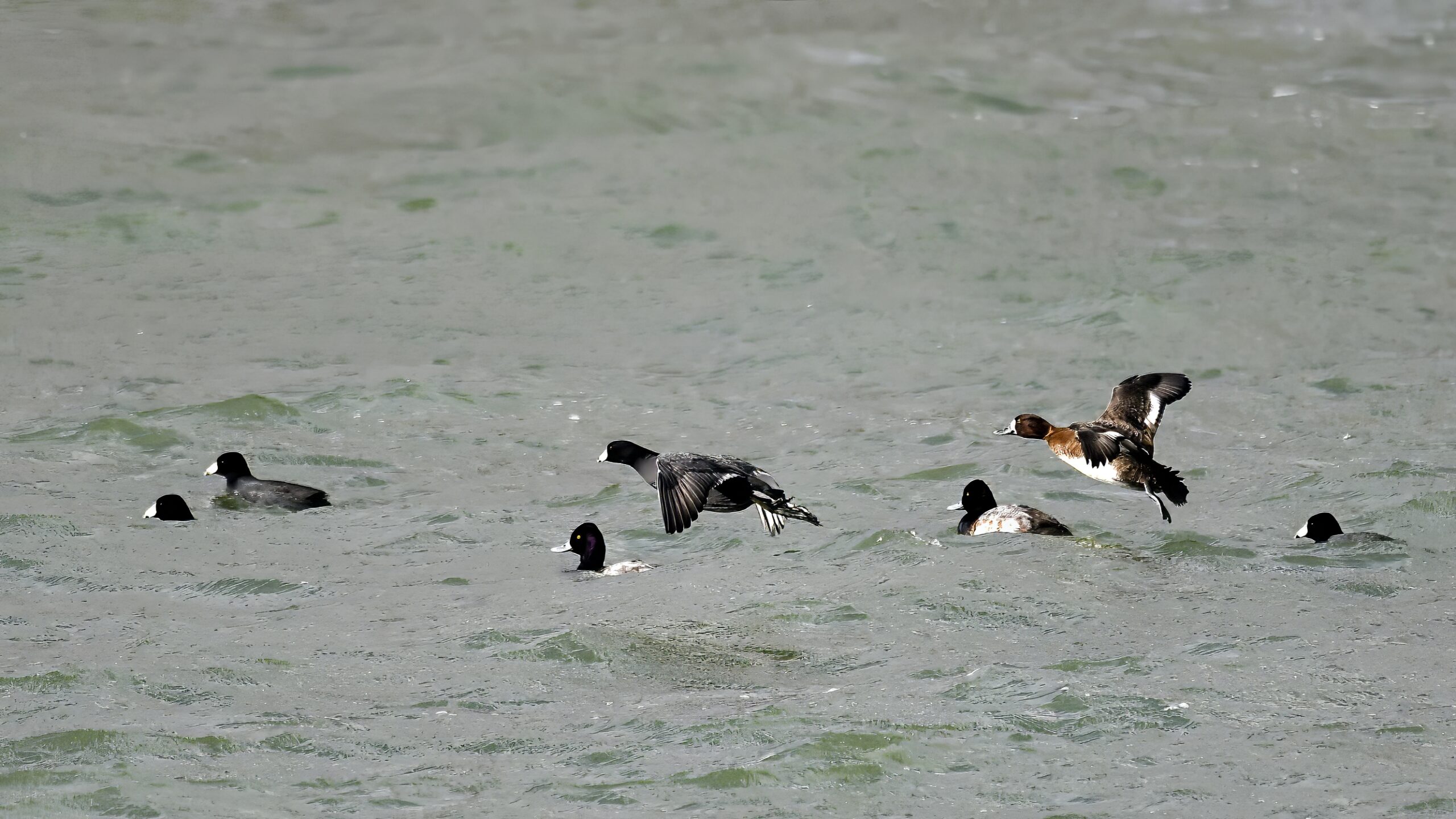
Waterfowl congregating on the unfrozen portion of the channel between North Pier and South Pier, in approximate order of population: Redhead, Lesser Scaup, Common Goldeneye, American Coot, Red-breasted Merganser, Canada Goose, Bufflehead, Ring-necked Duck, Canvasback, & Long-tailed Duck. This is South Pier, looking east, with North Pier on the left:
Another view of the unfrozen portion of entrance channel; North Pier and Coast Guard Station on left, enclosed pond @ South Pier on right, North Pier light @ horizon right:
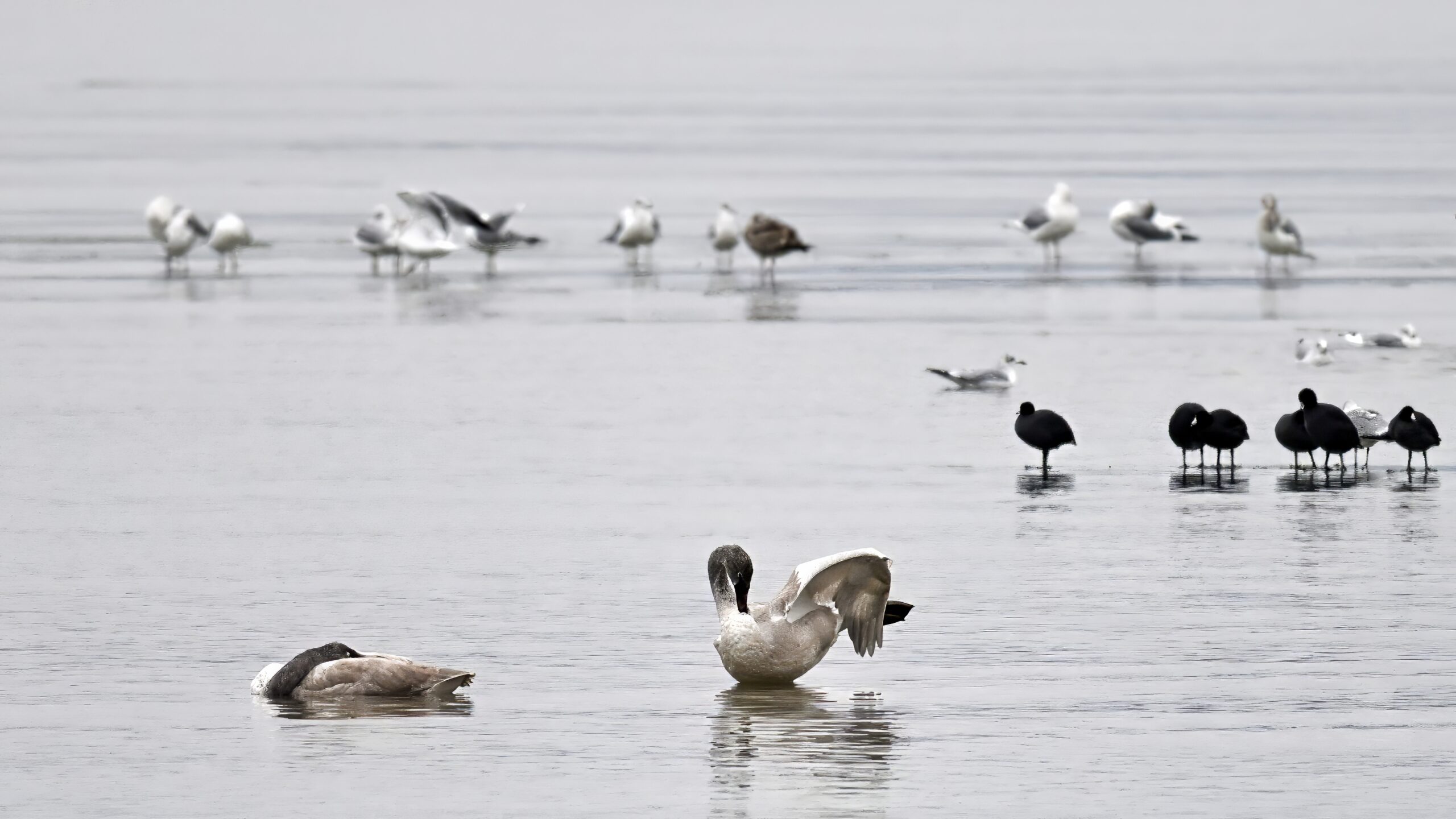
Back to Gull Point at Presque Isle State Park from the Sunday before last:
Distant gull @ outer Gull Point
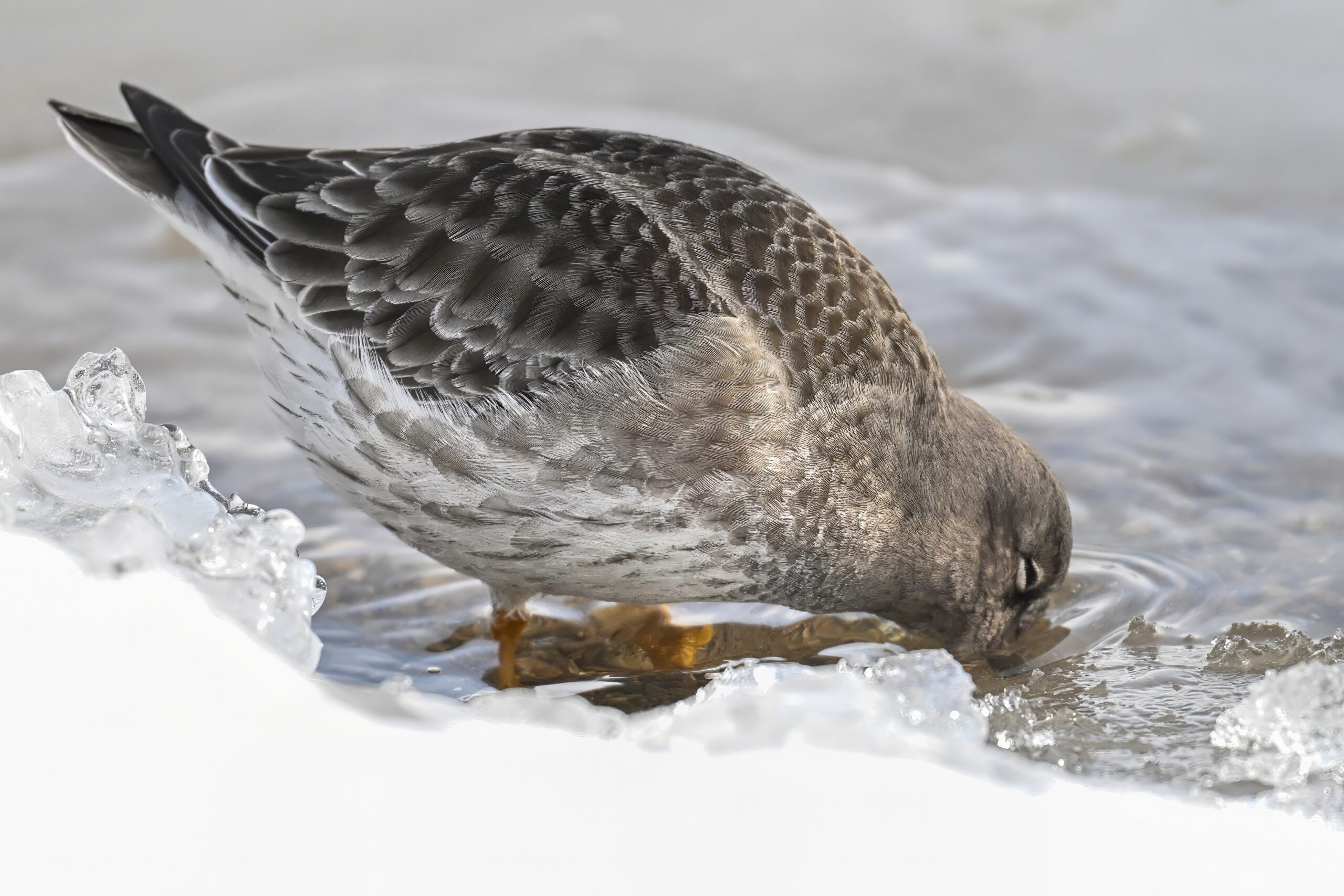
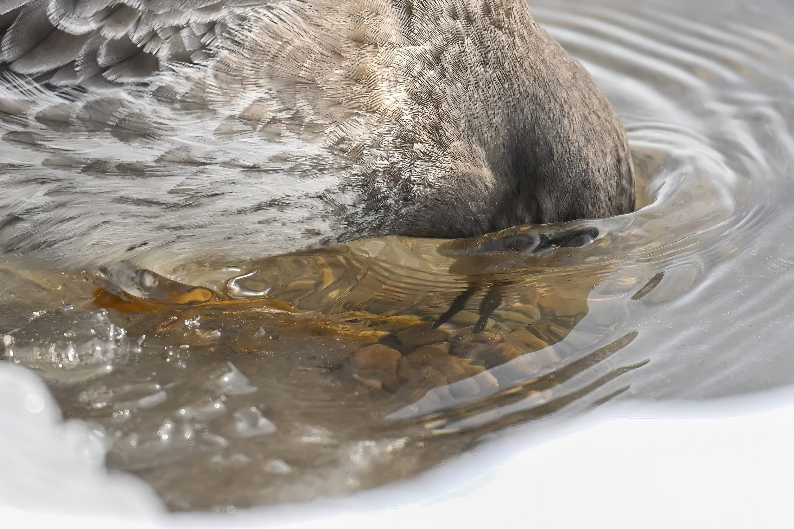
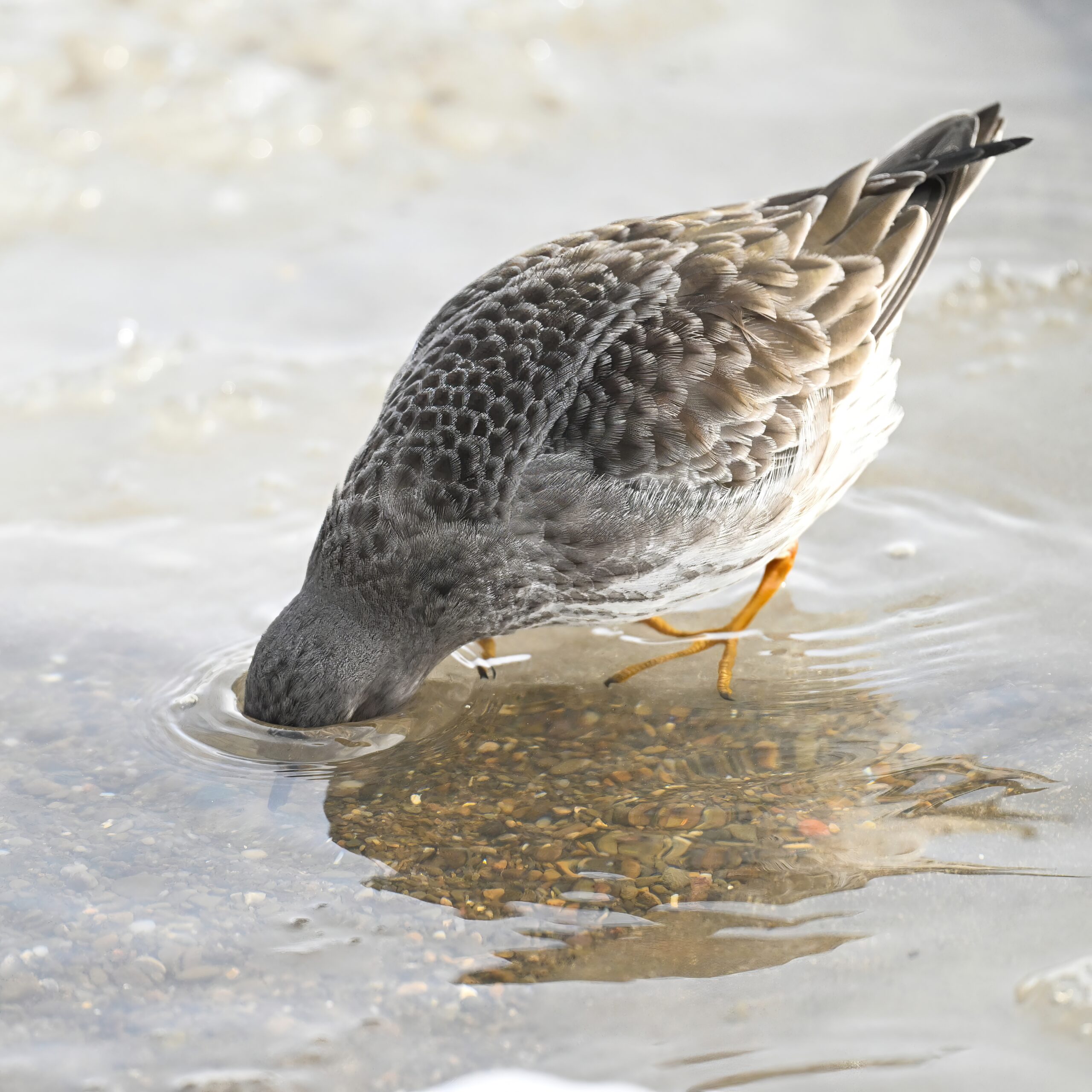
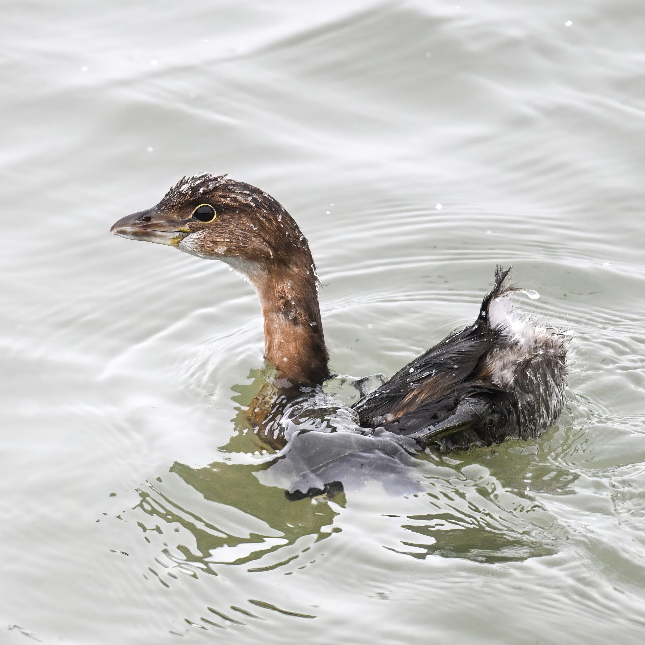
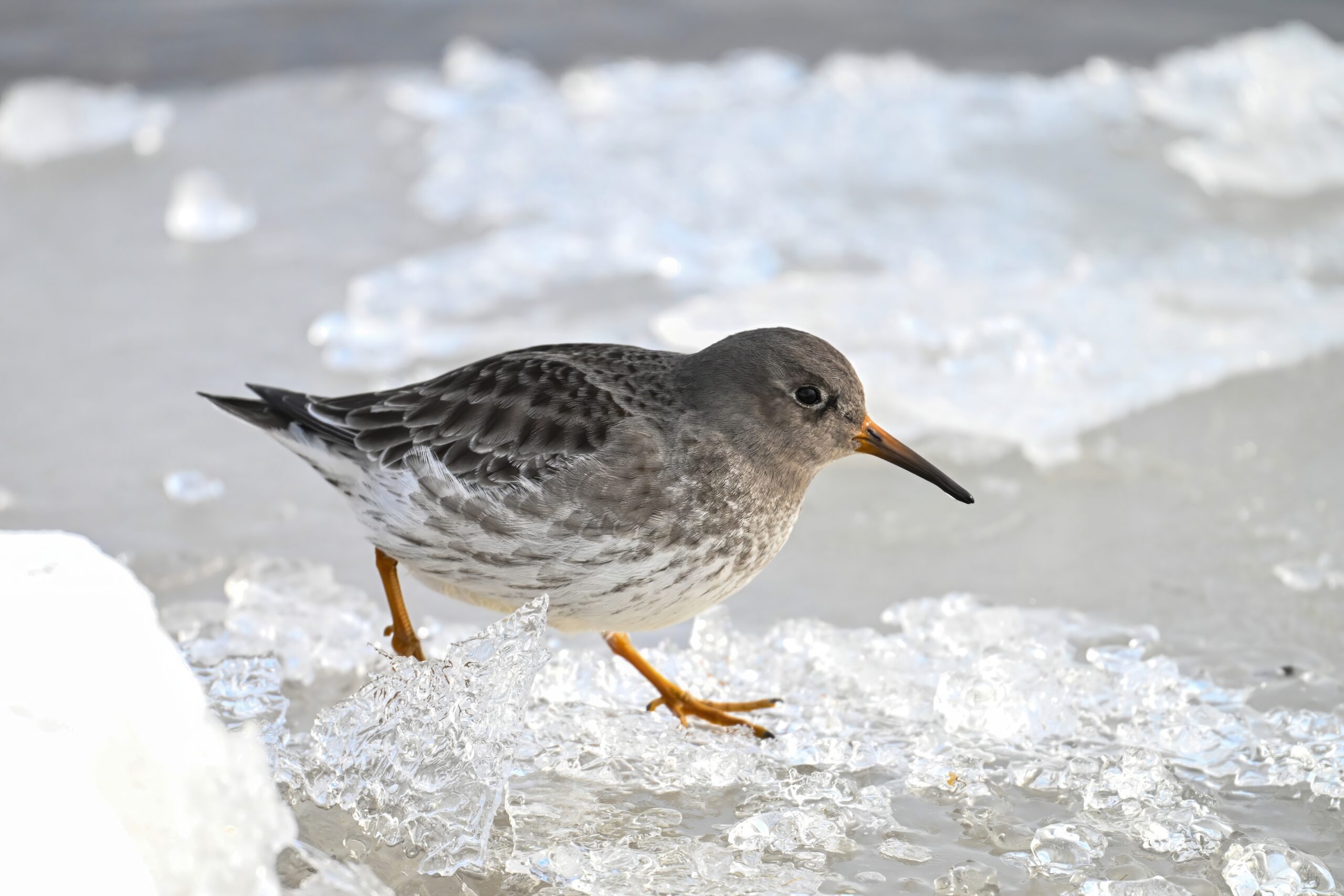
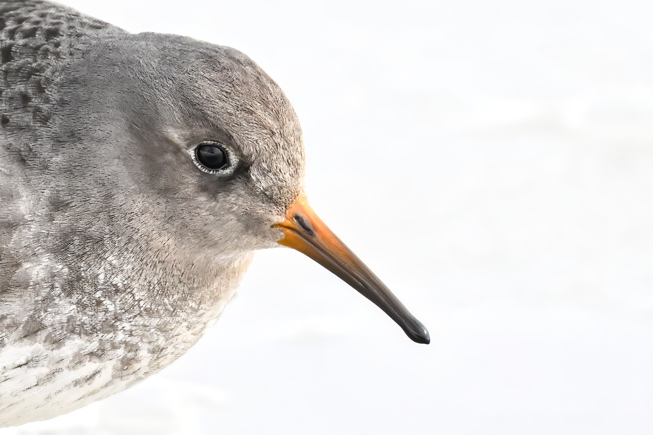
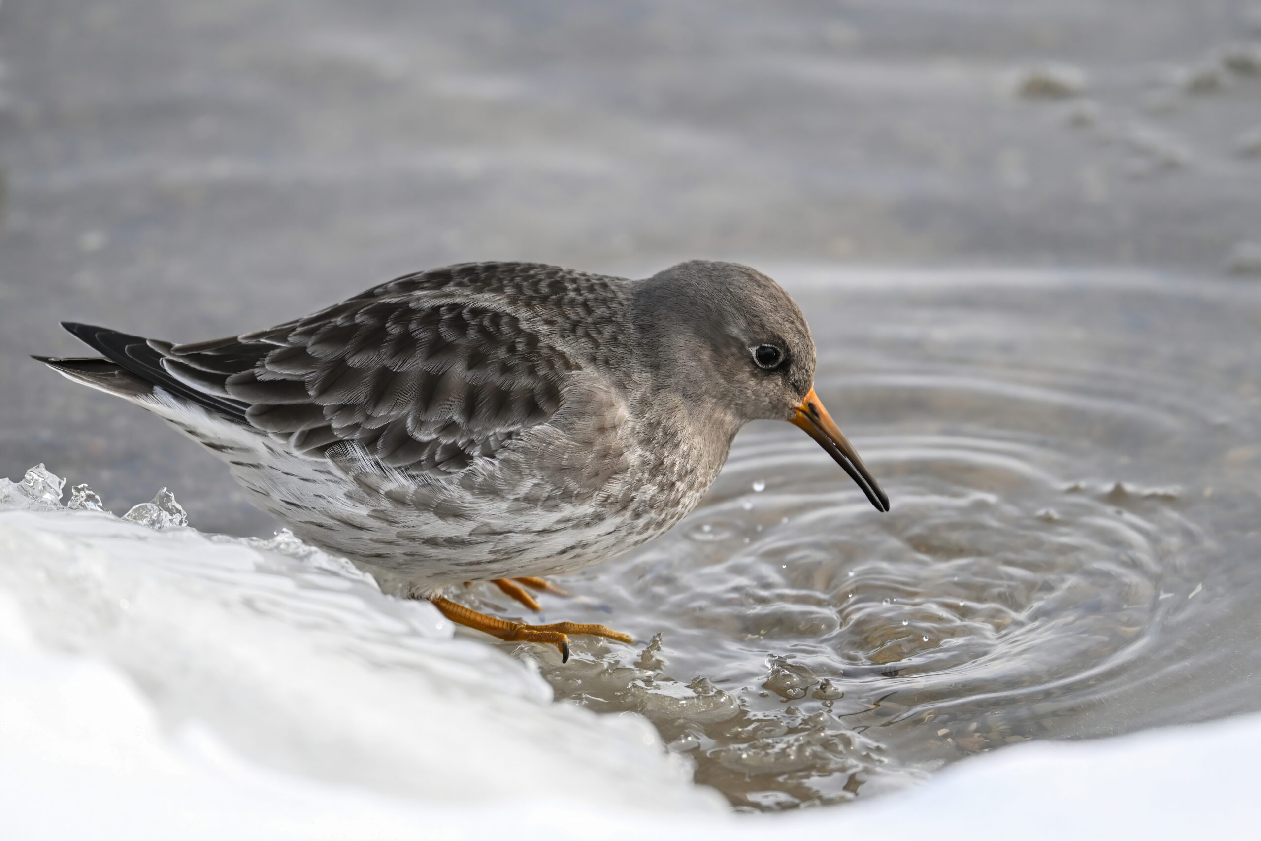
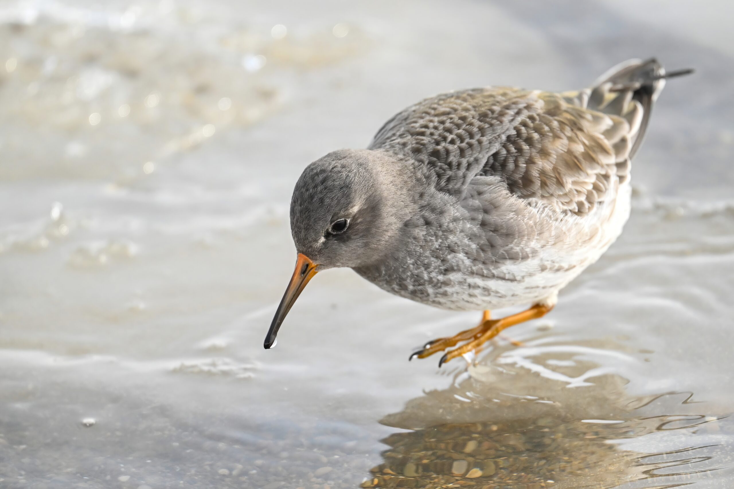
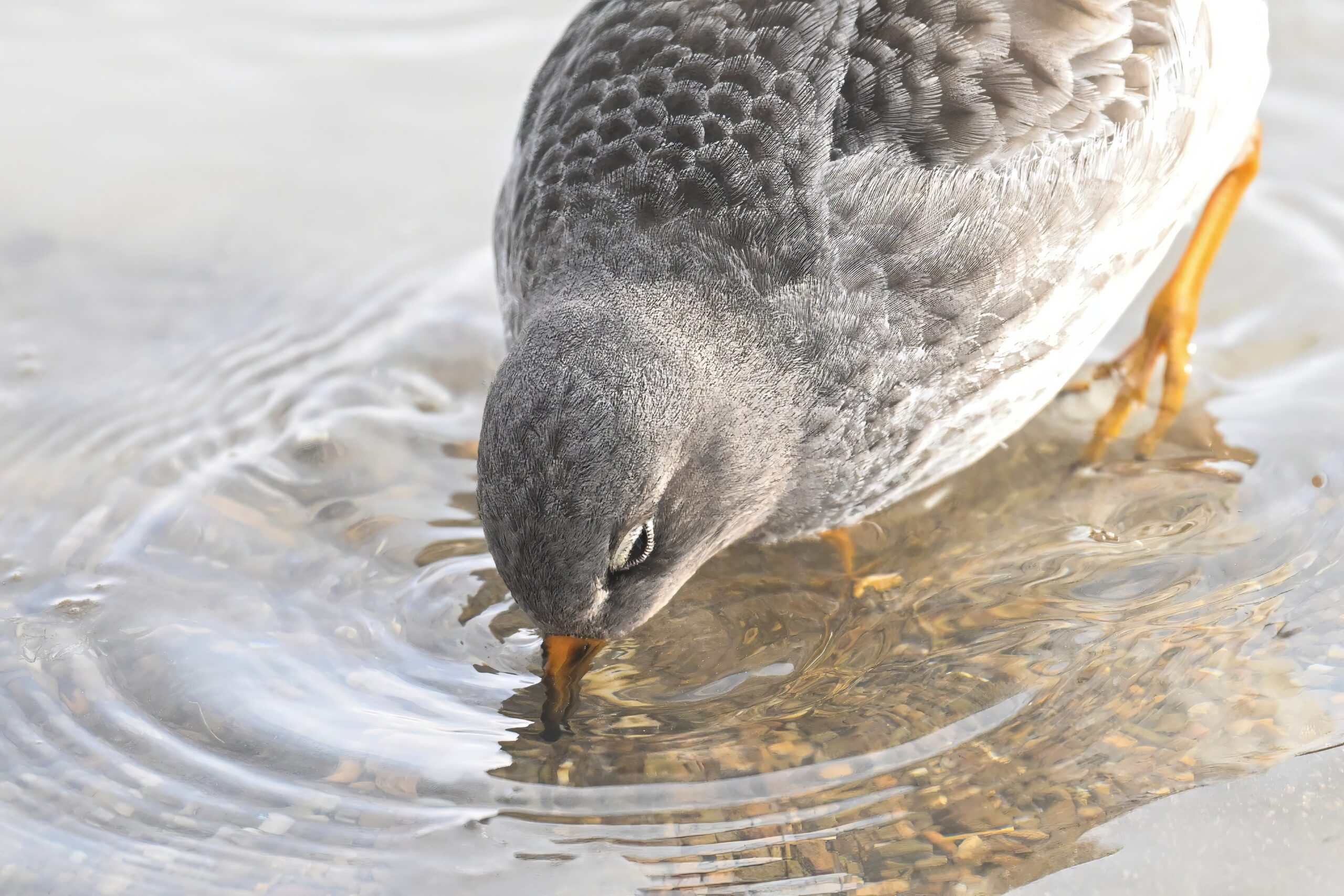
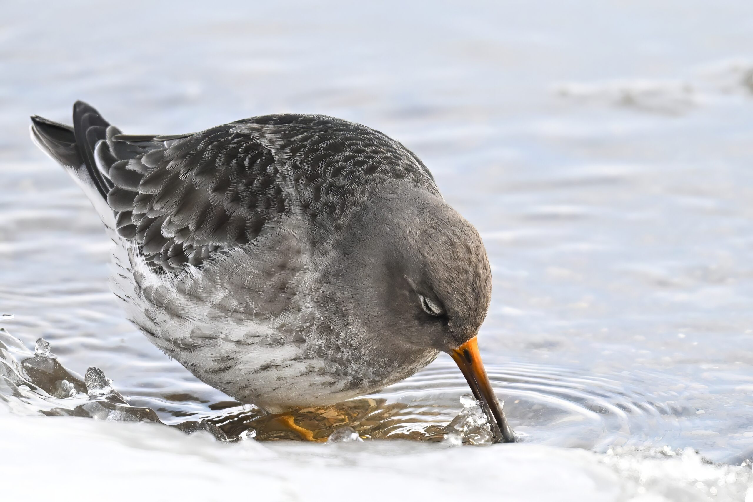
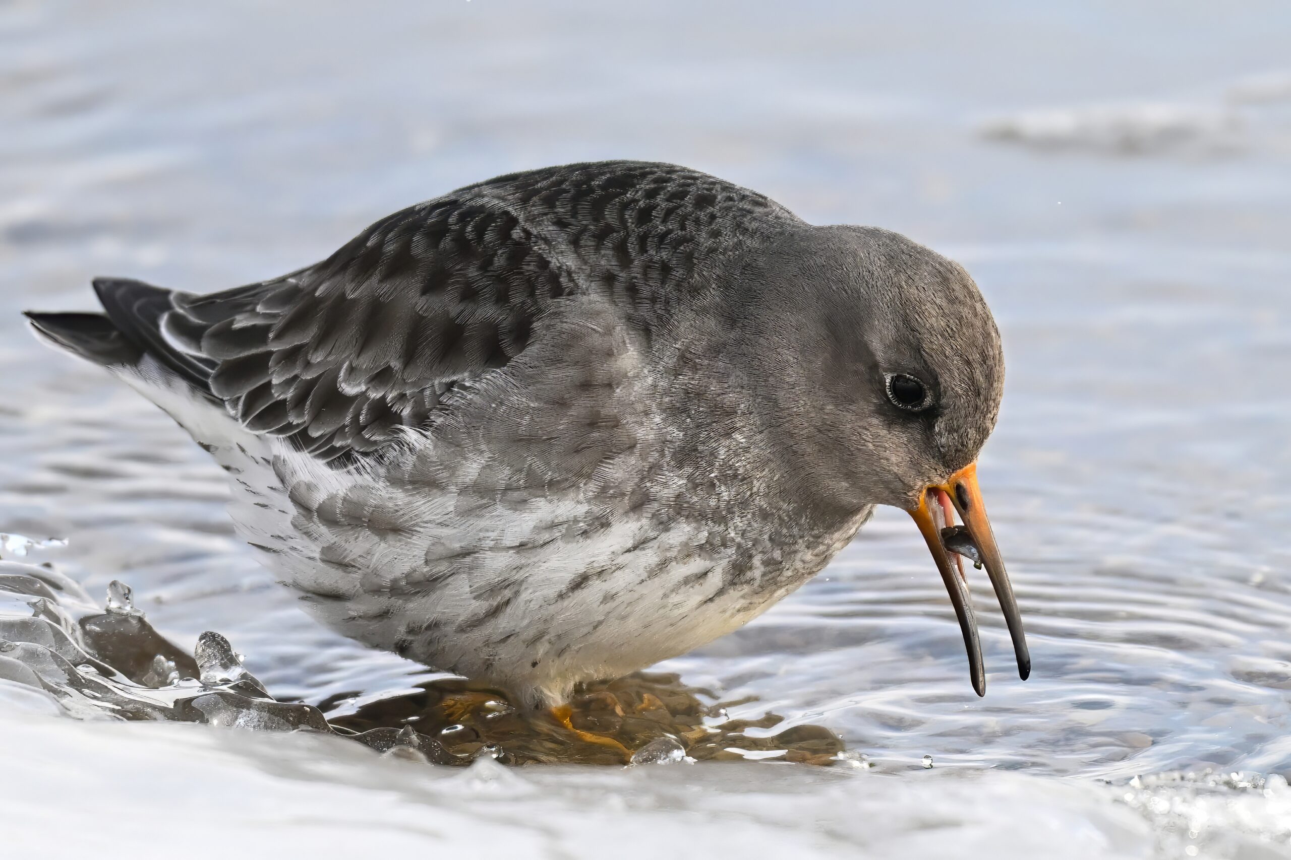
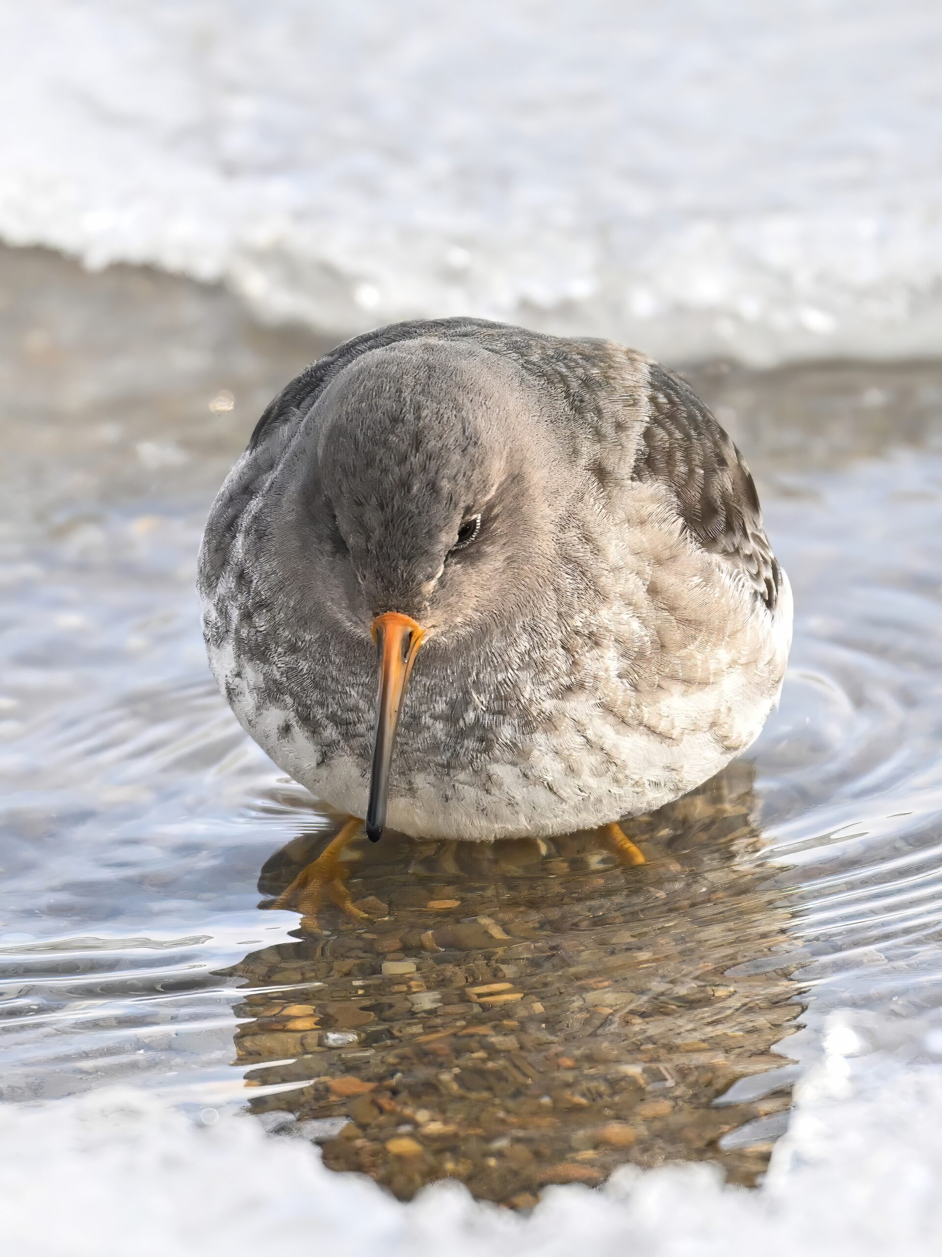
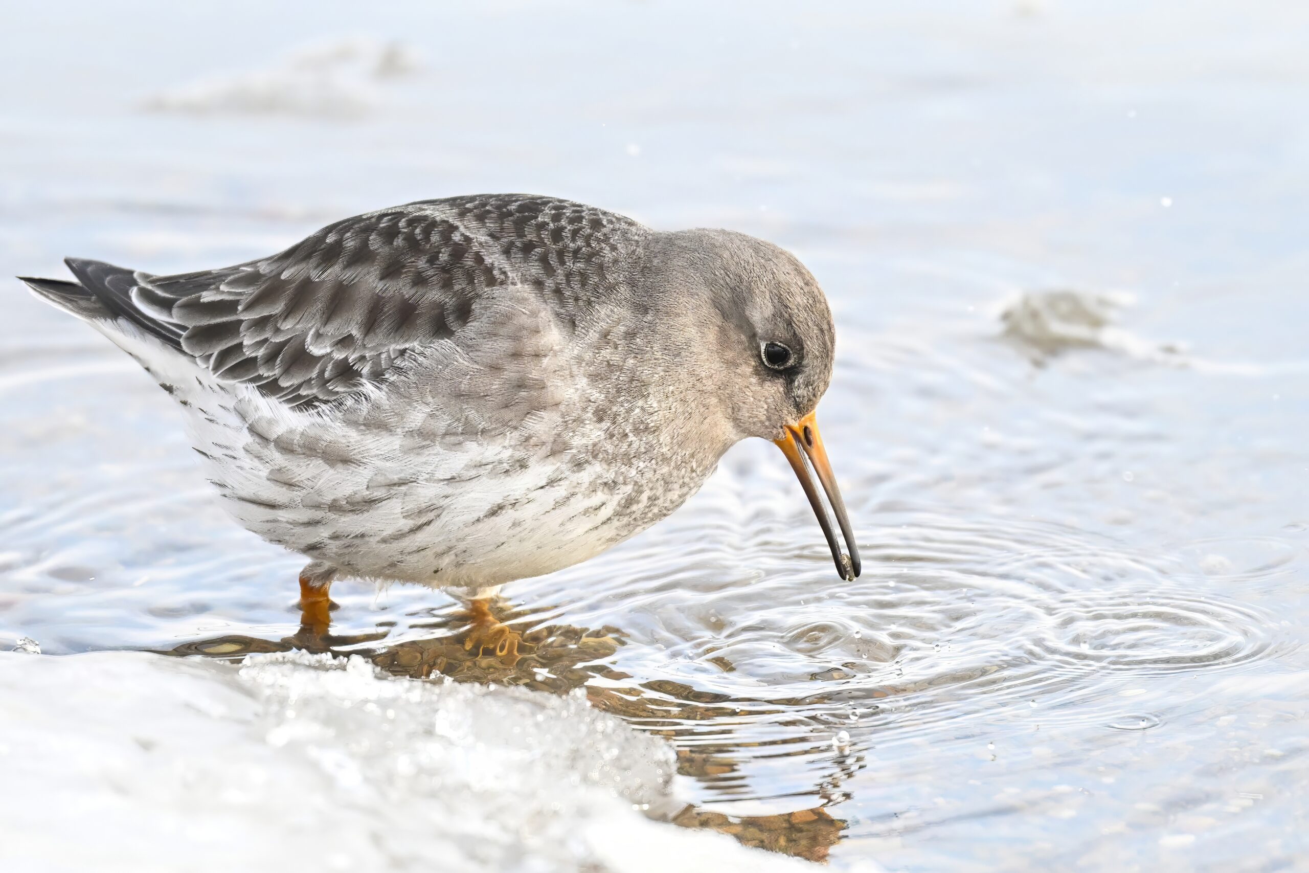
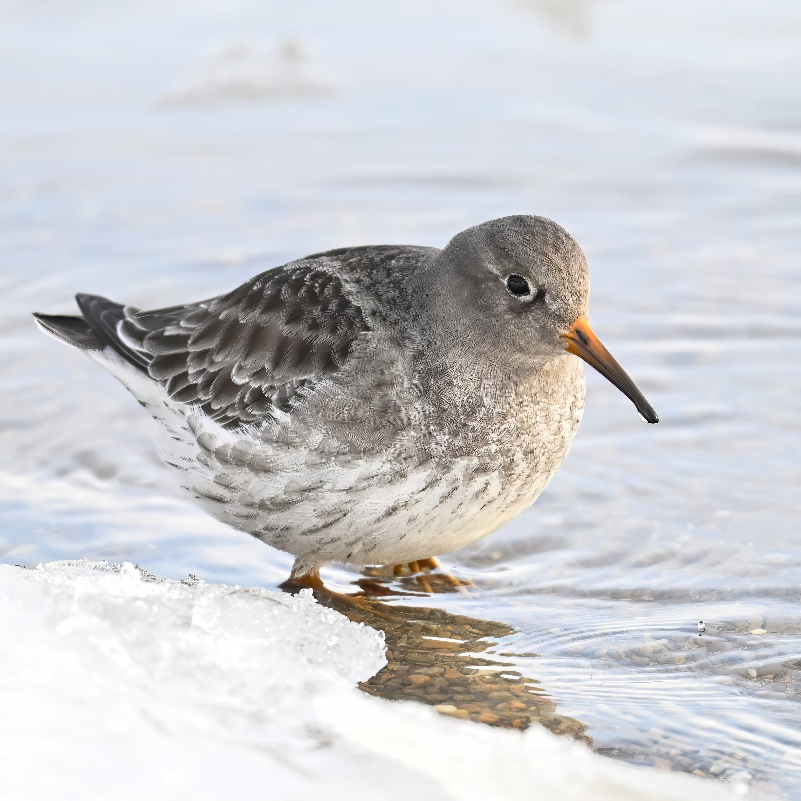
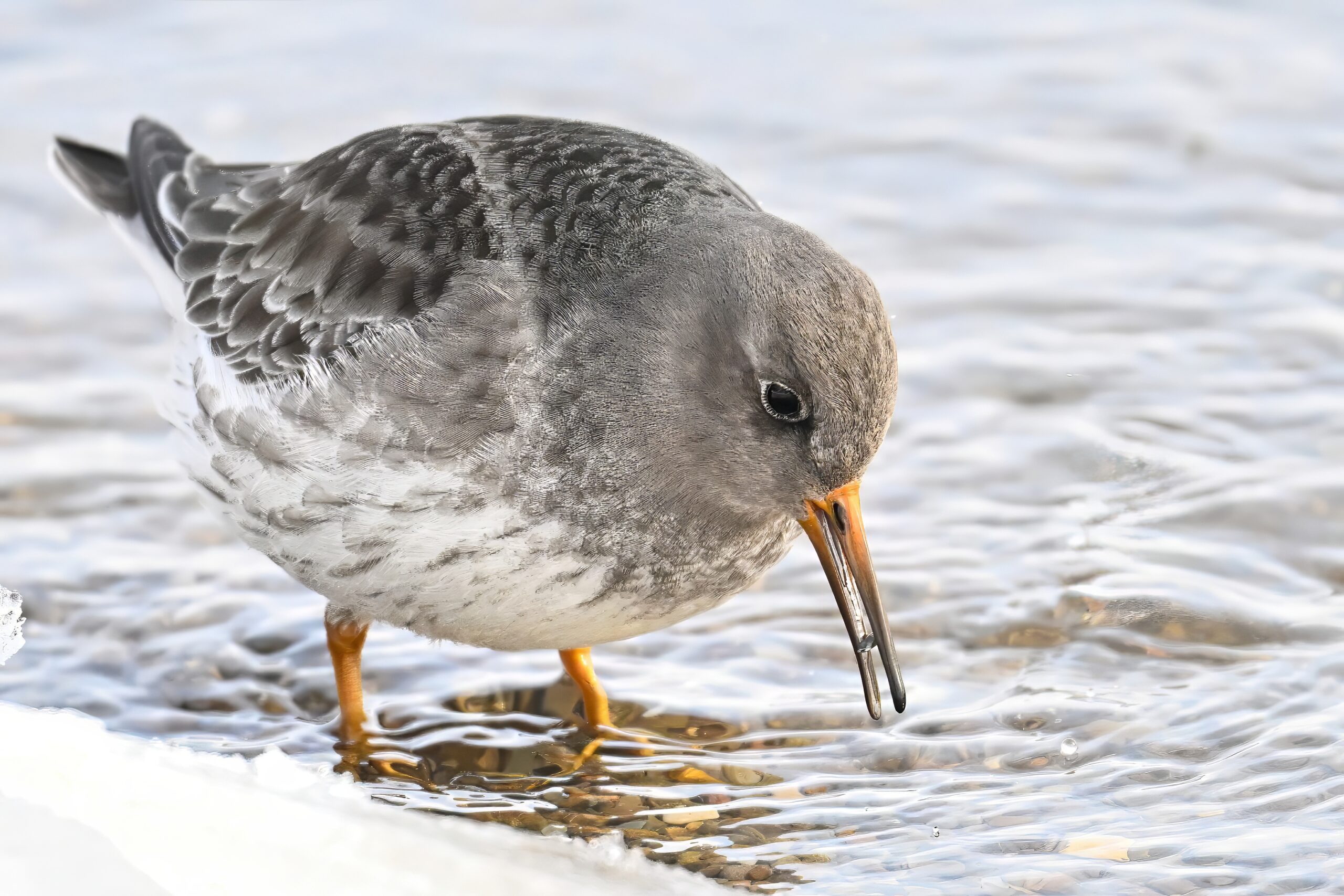
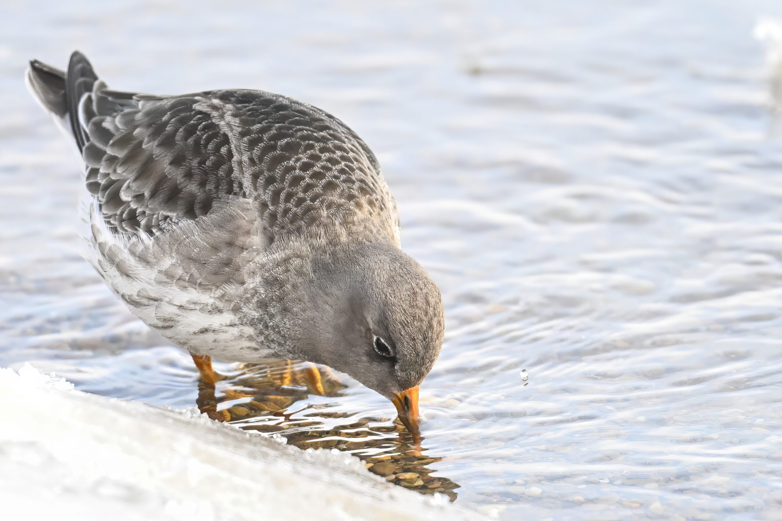
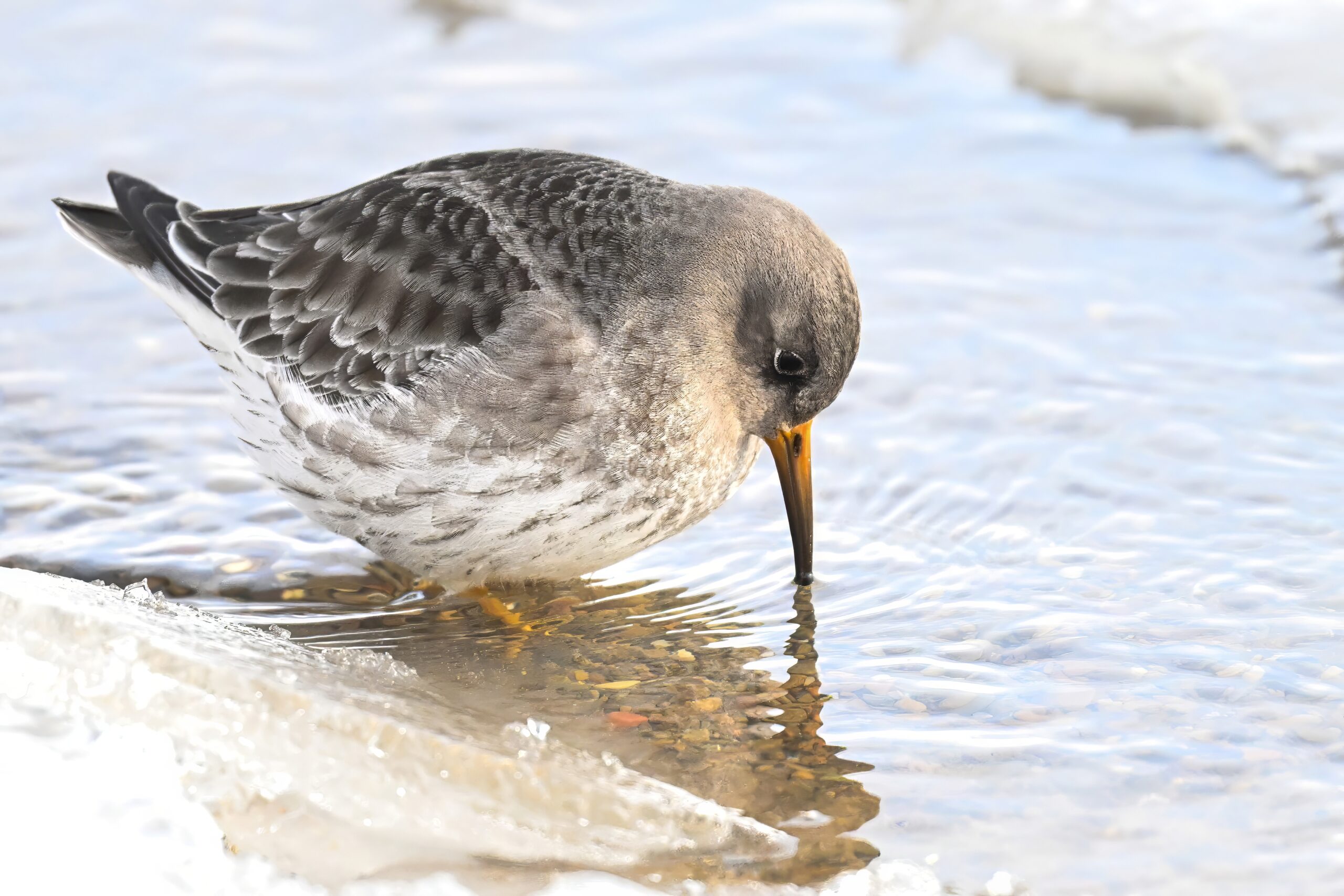
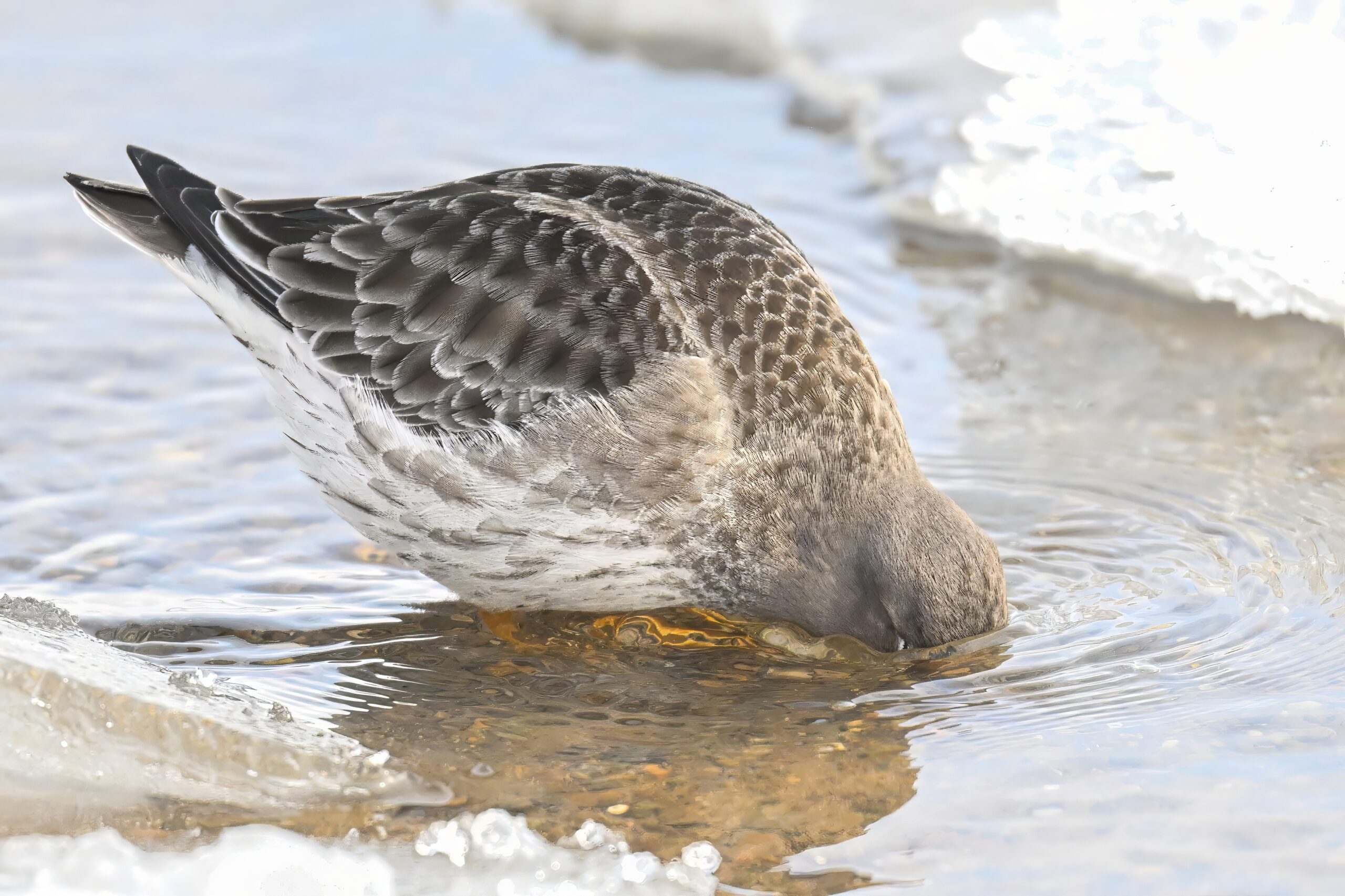
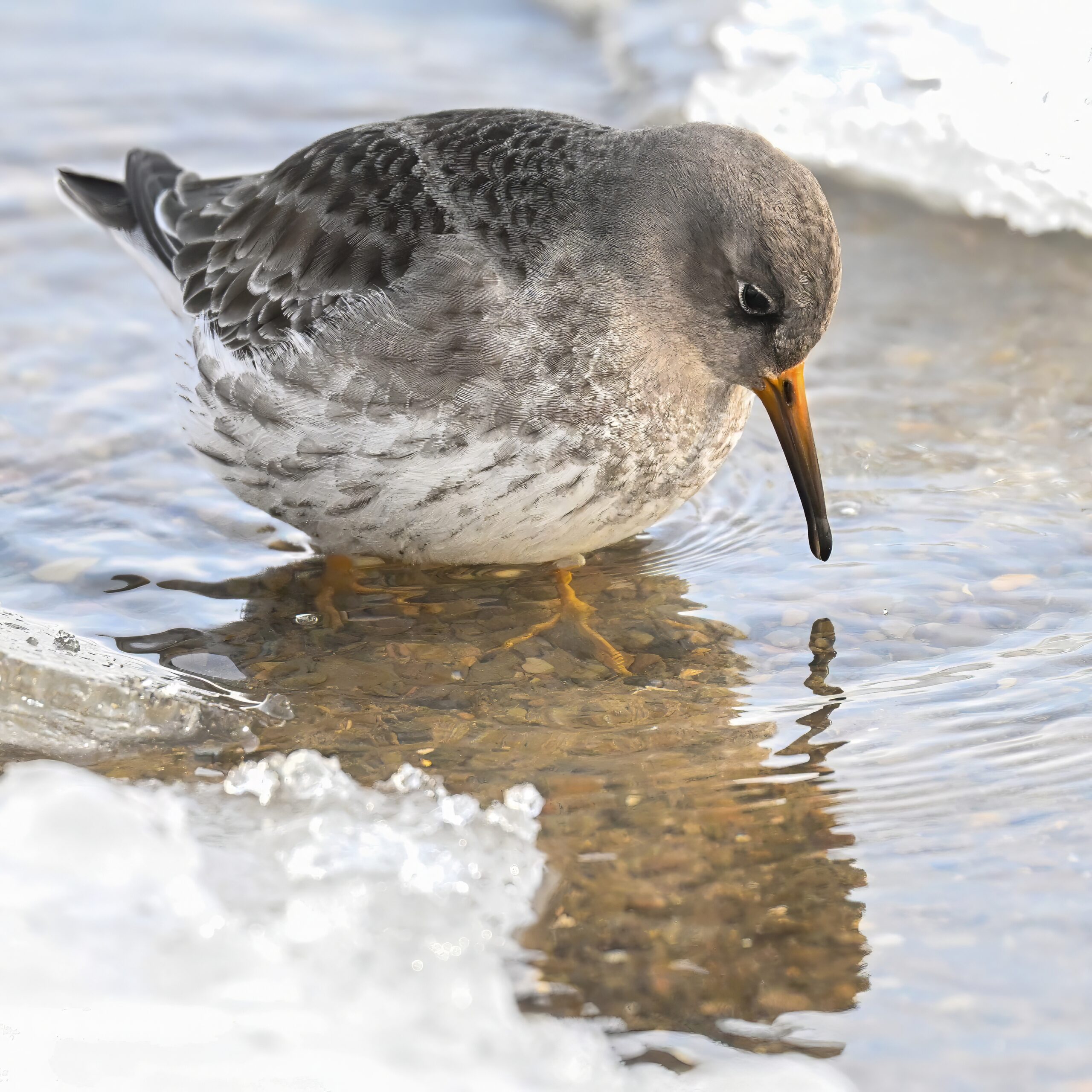
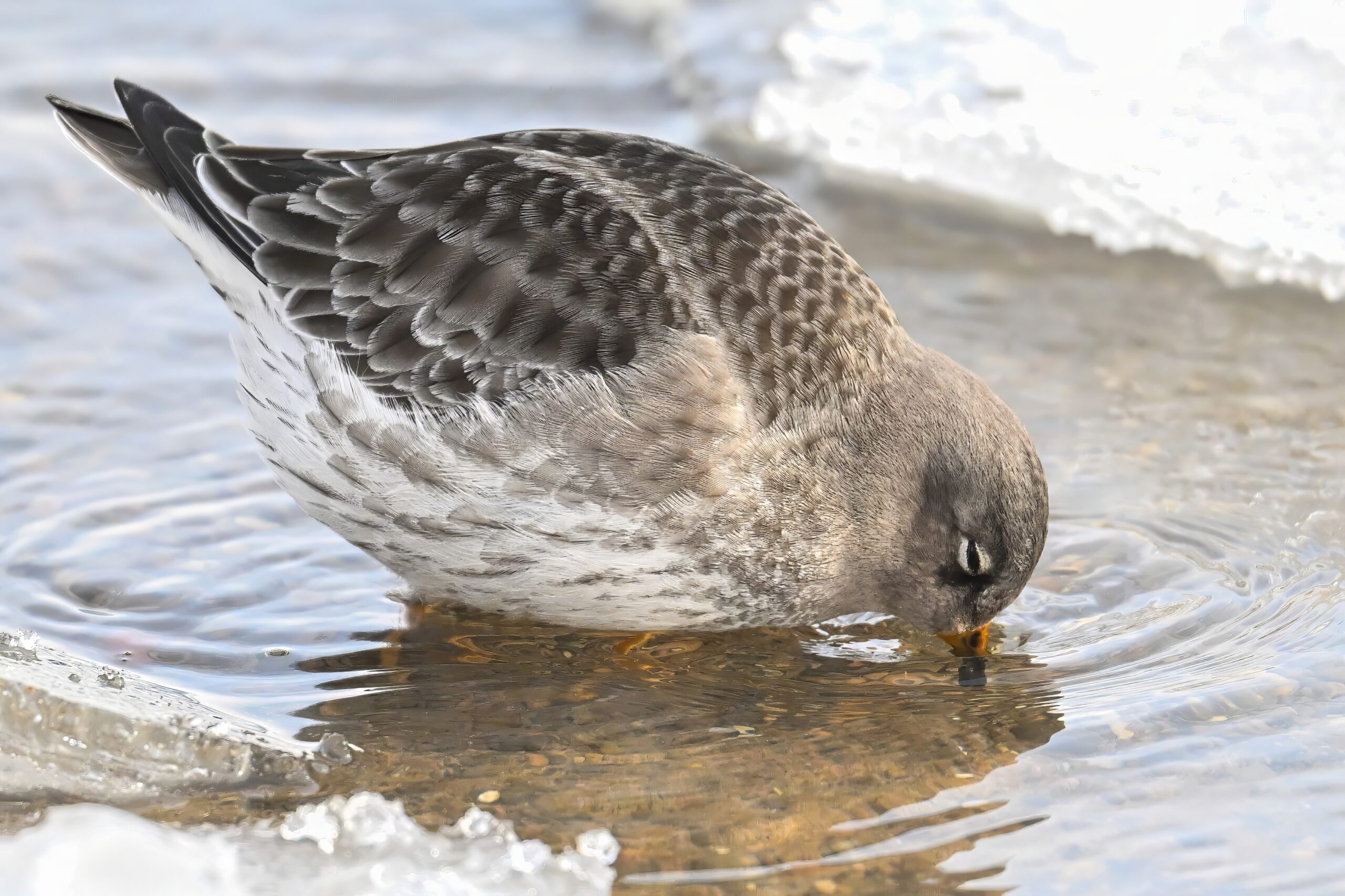
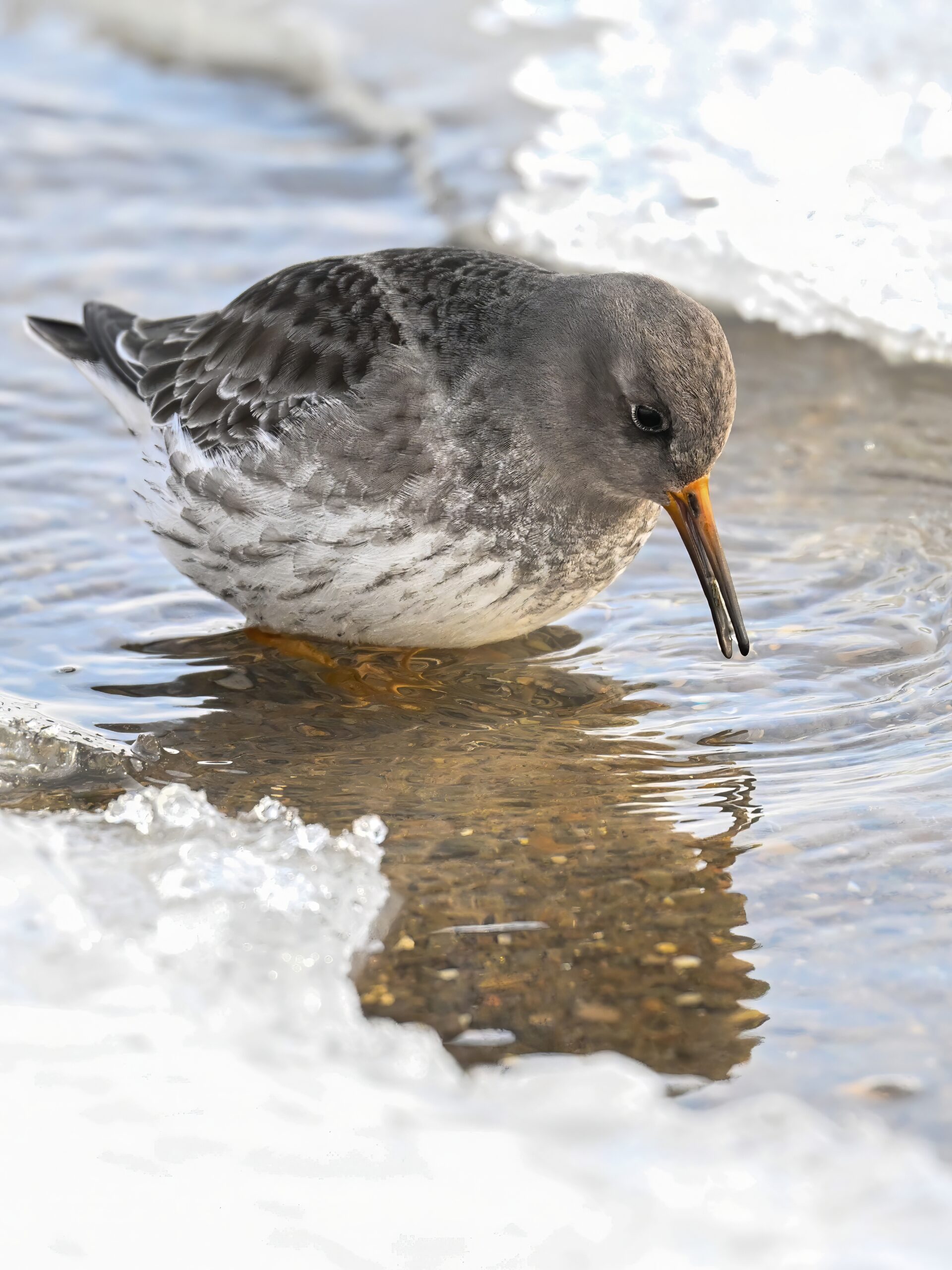
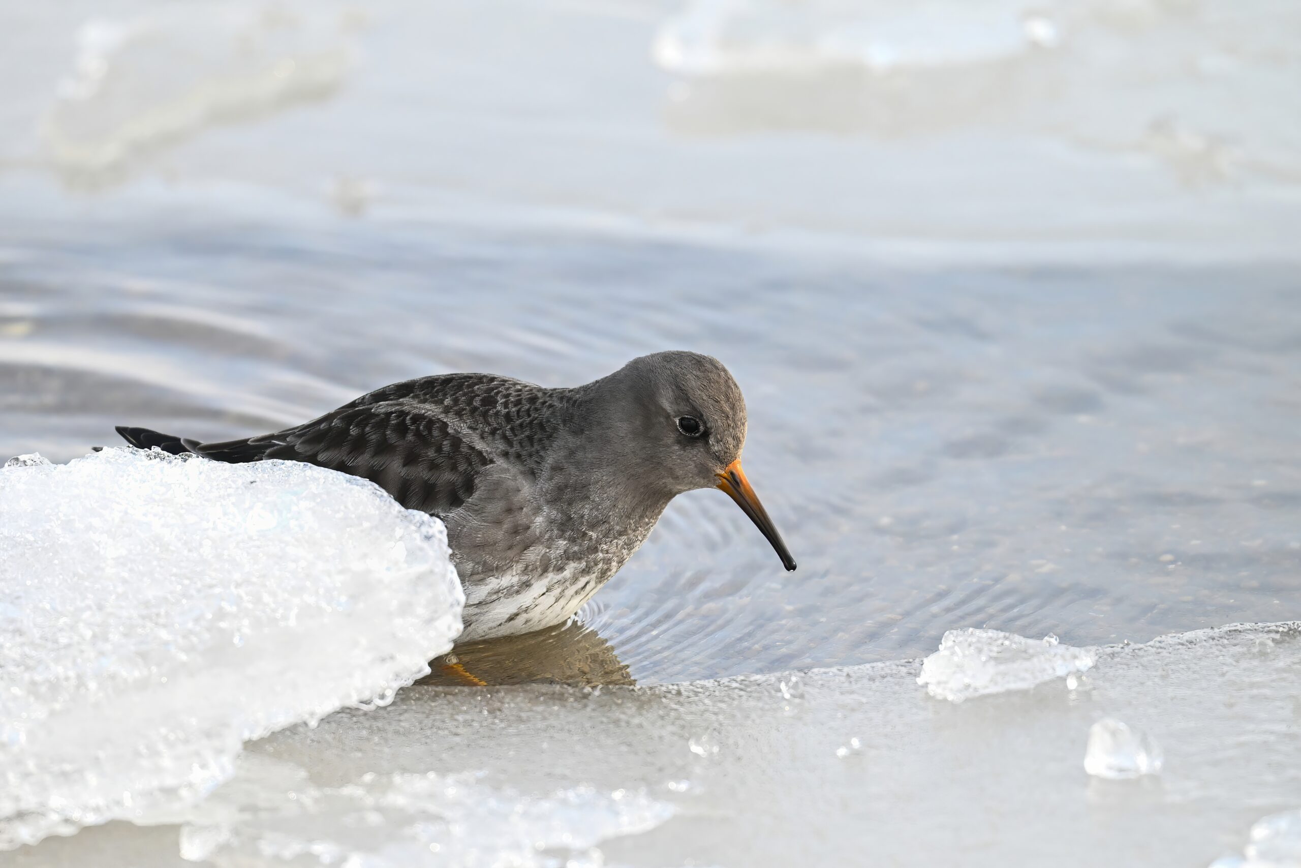
Still lots of nice shots of Purple Sandpiper in the hopper, foraging along a bay-side beach w/ unfrozen water line:
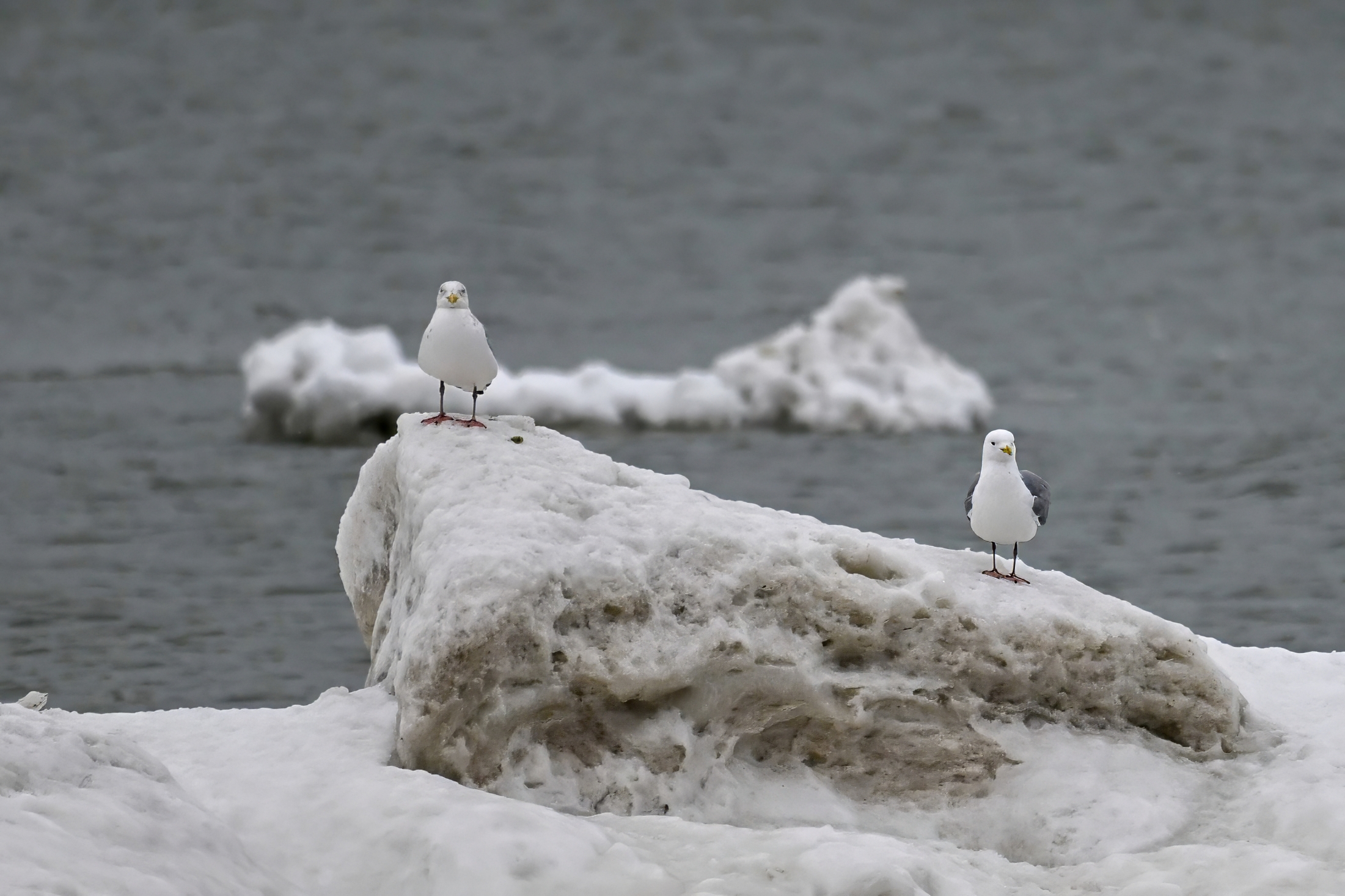
Gulls on float ice, outer Lake Erie
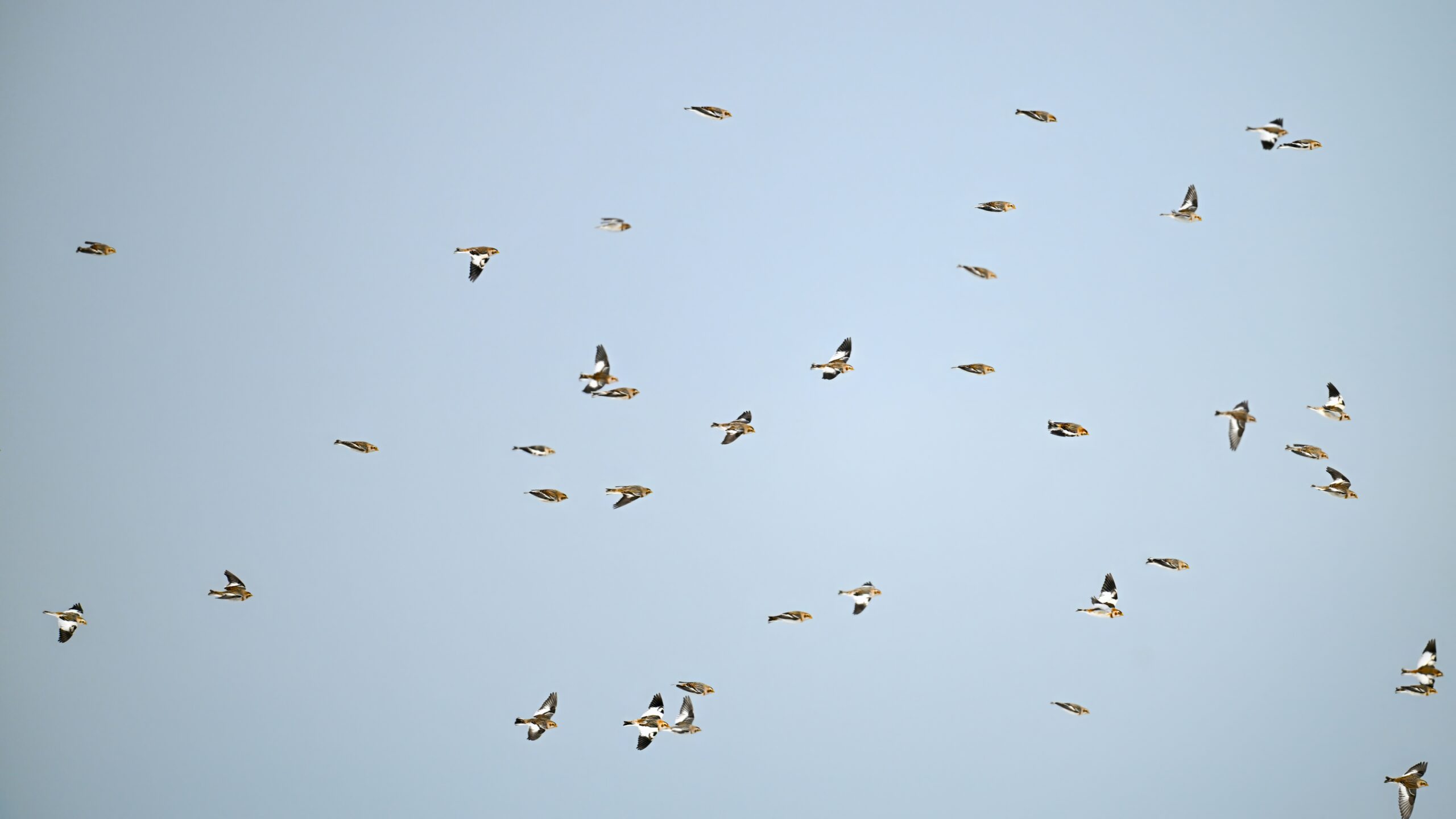
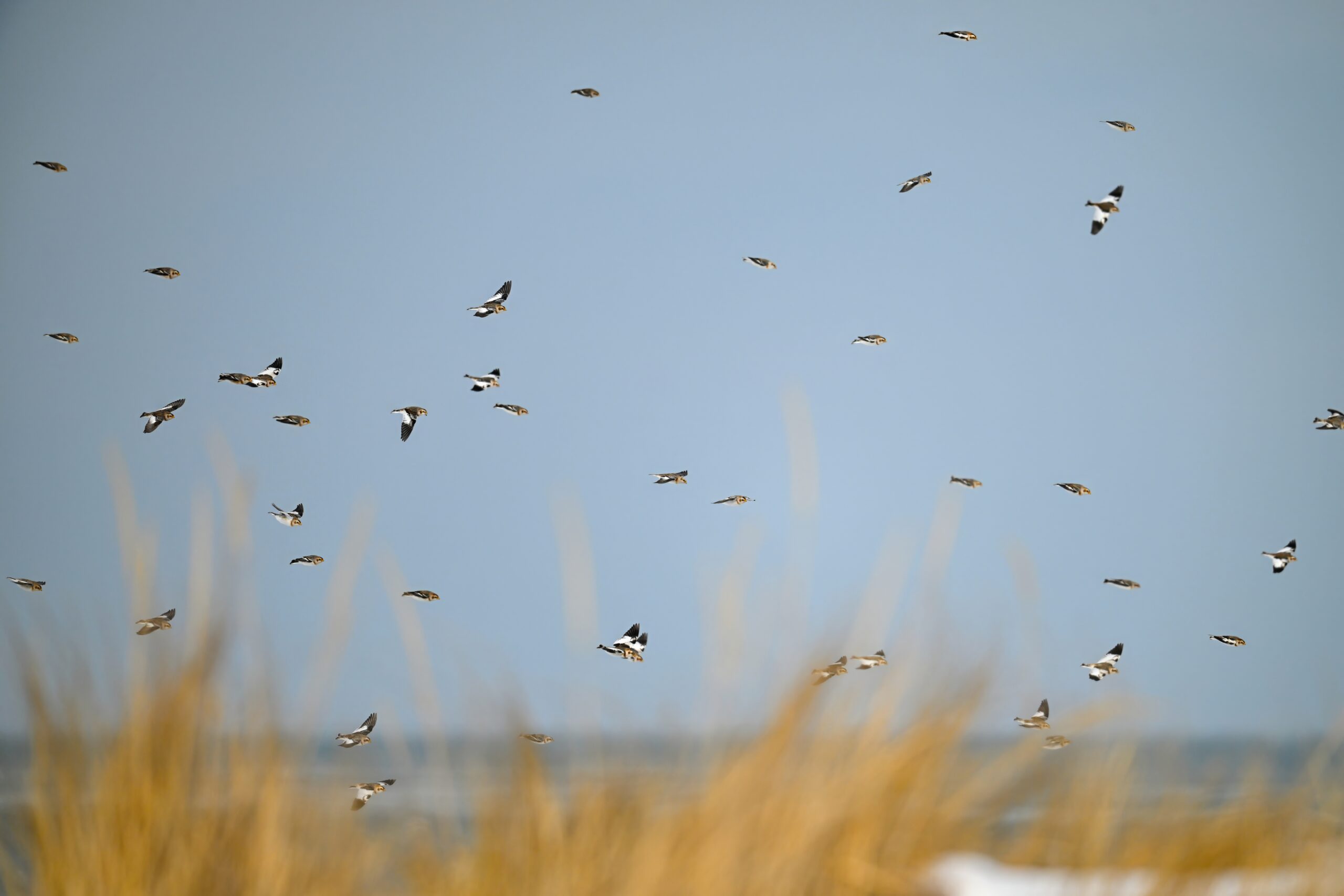
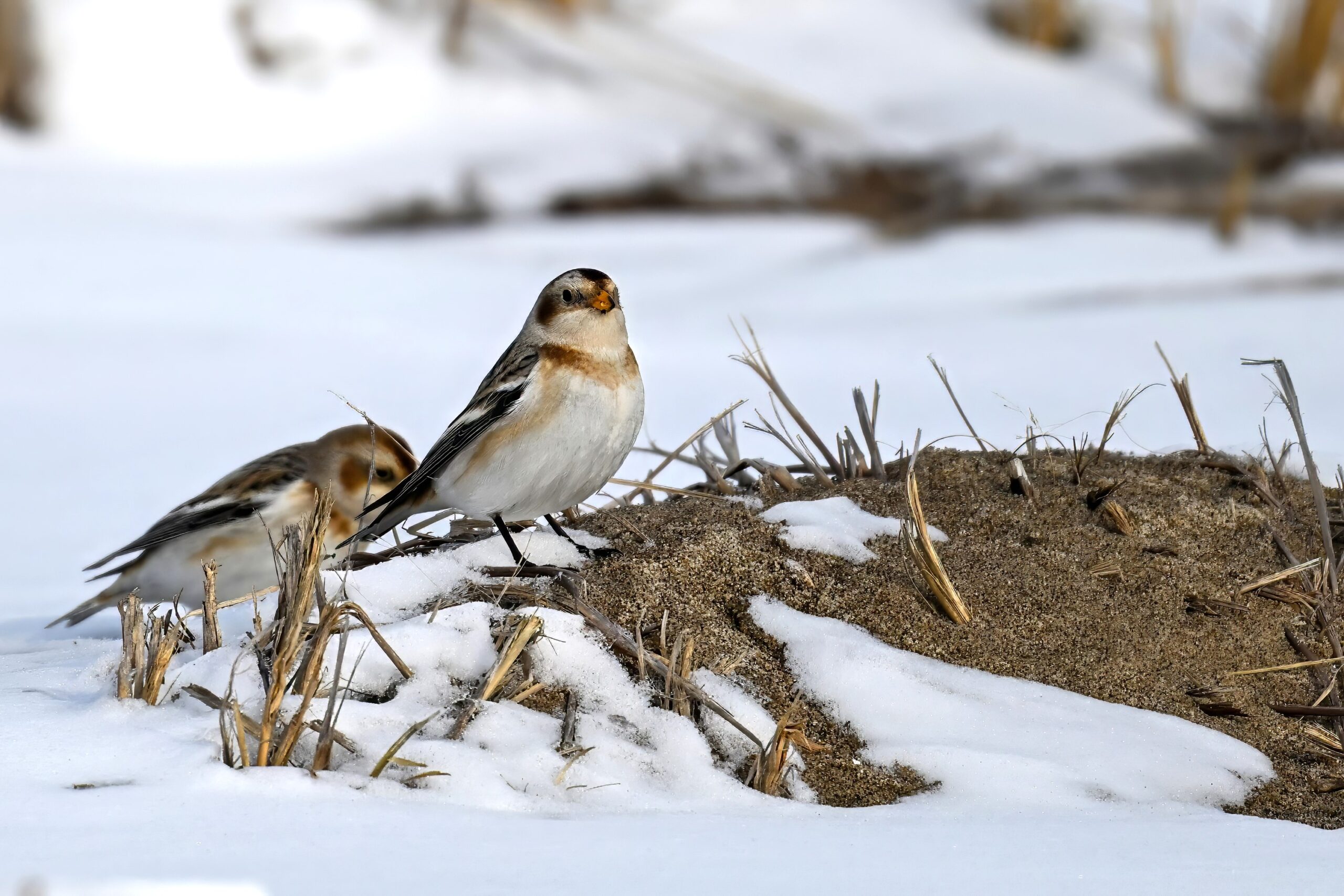
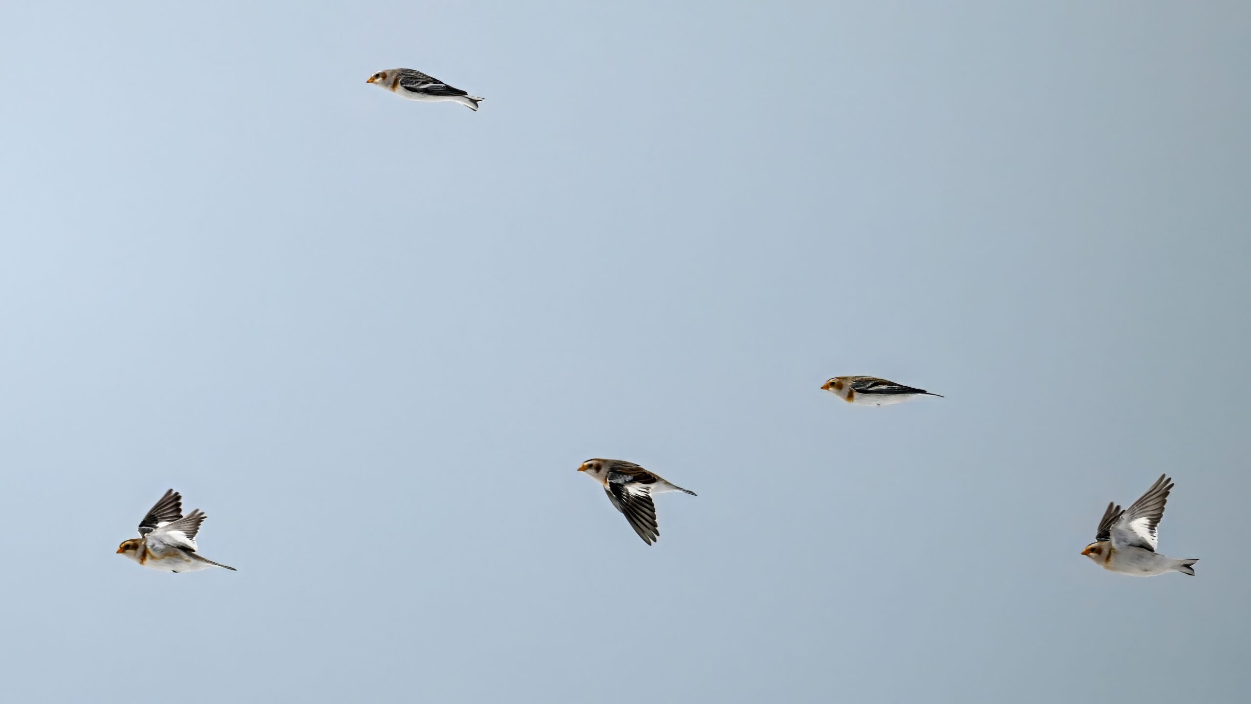
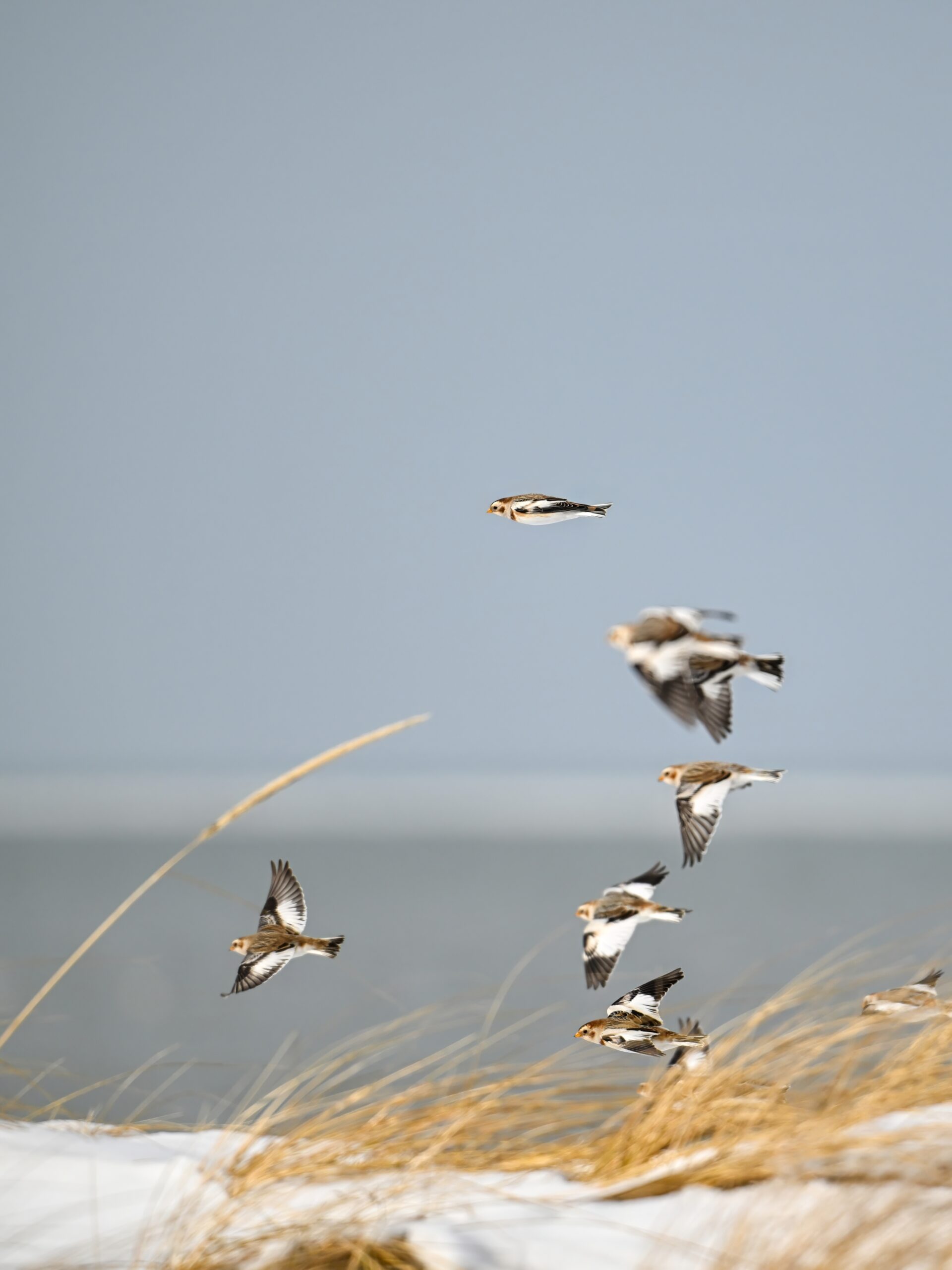
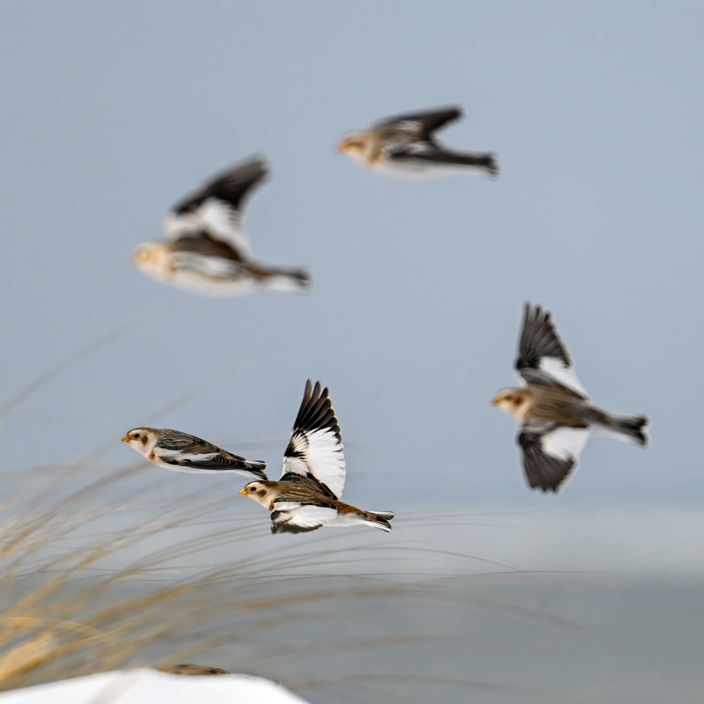
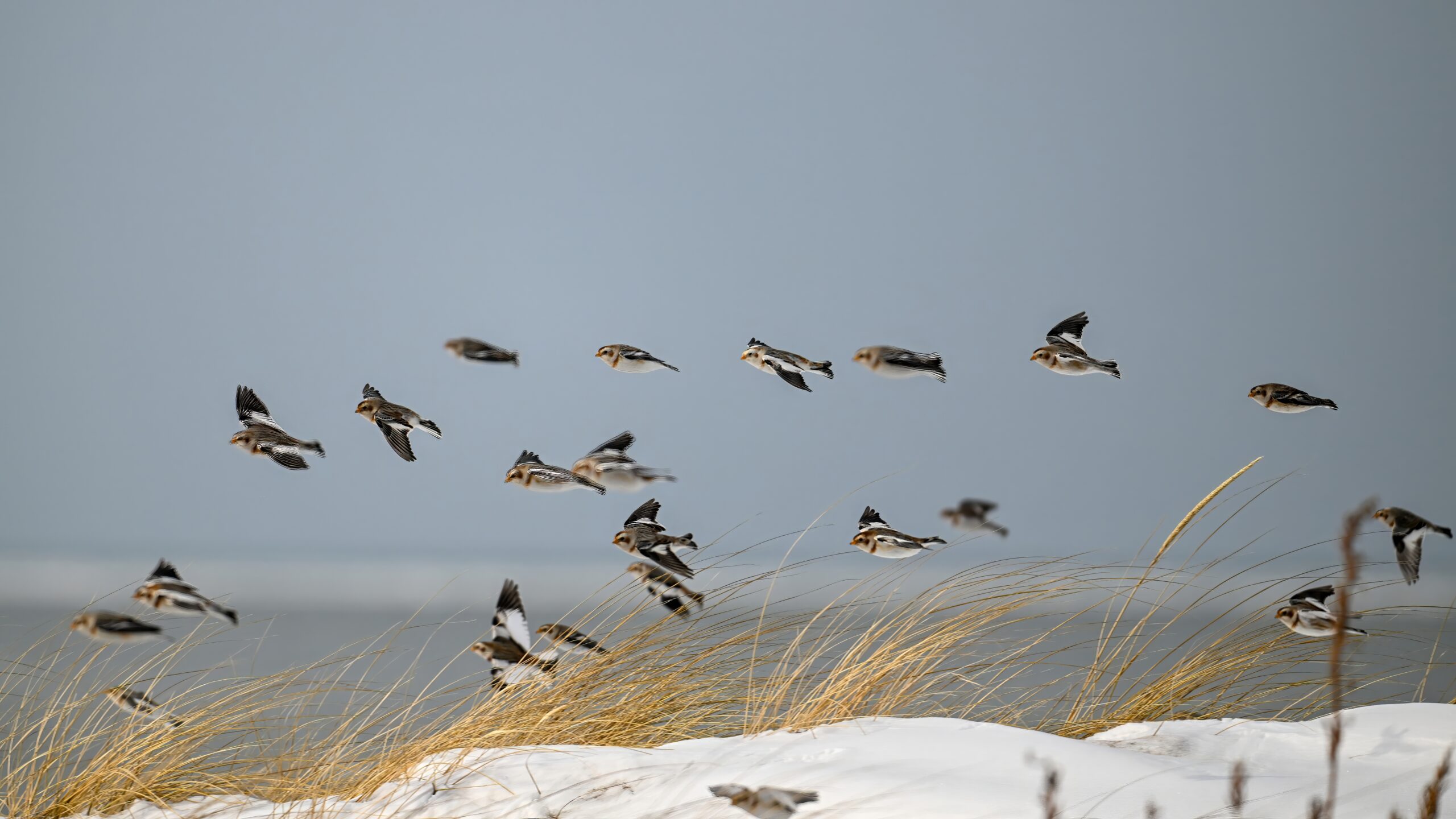
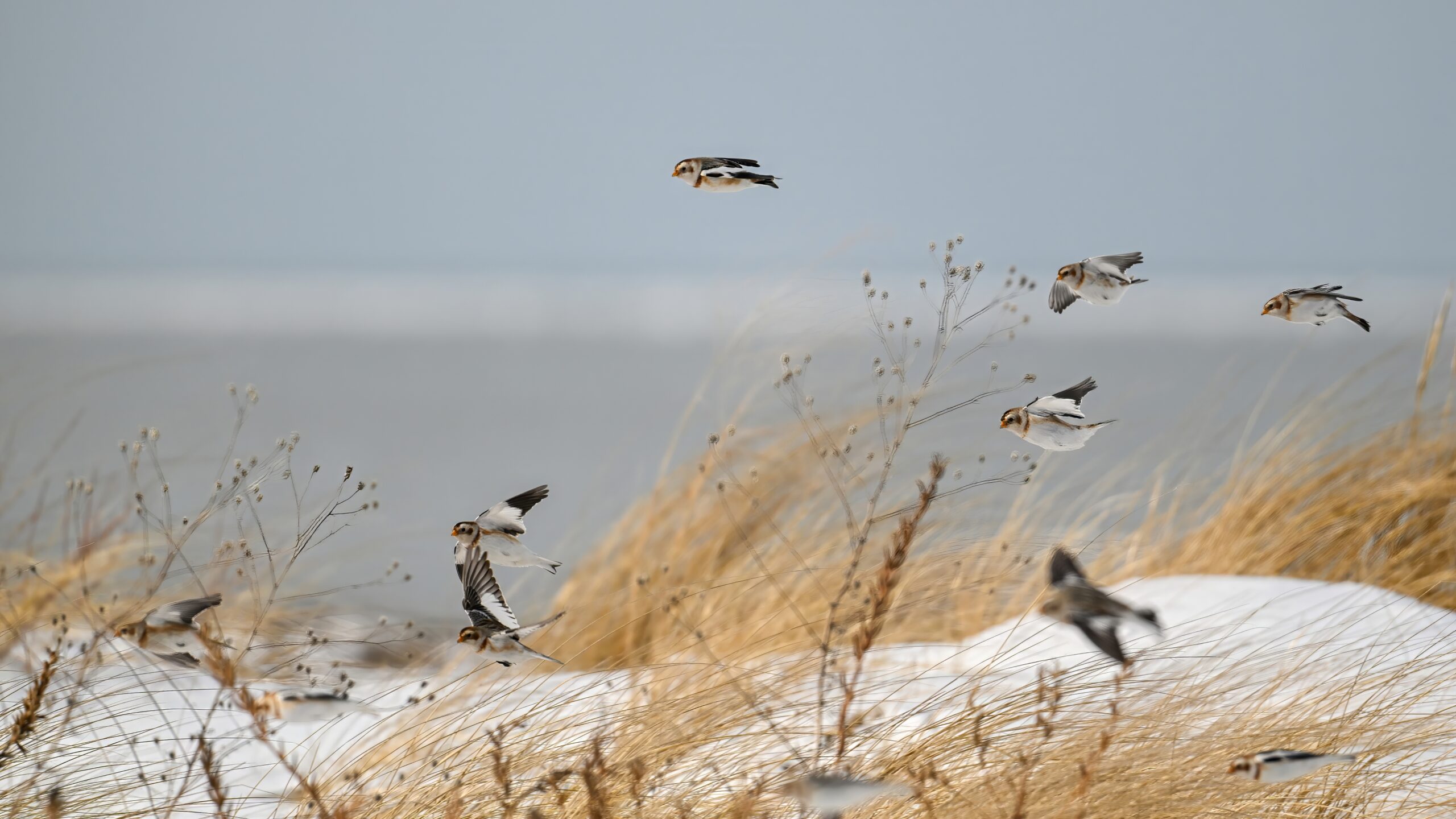
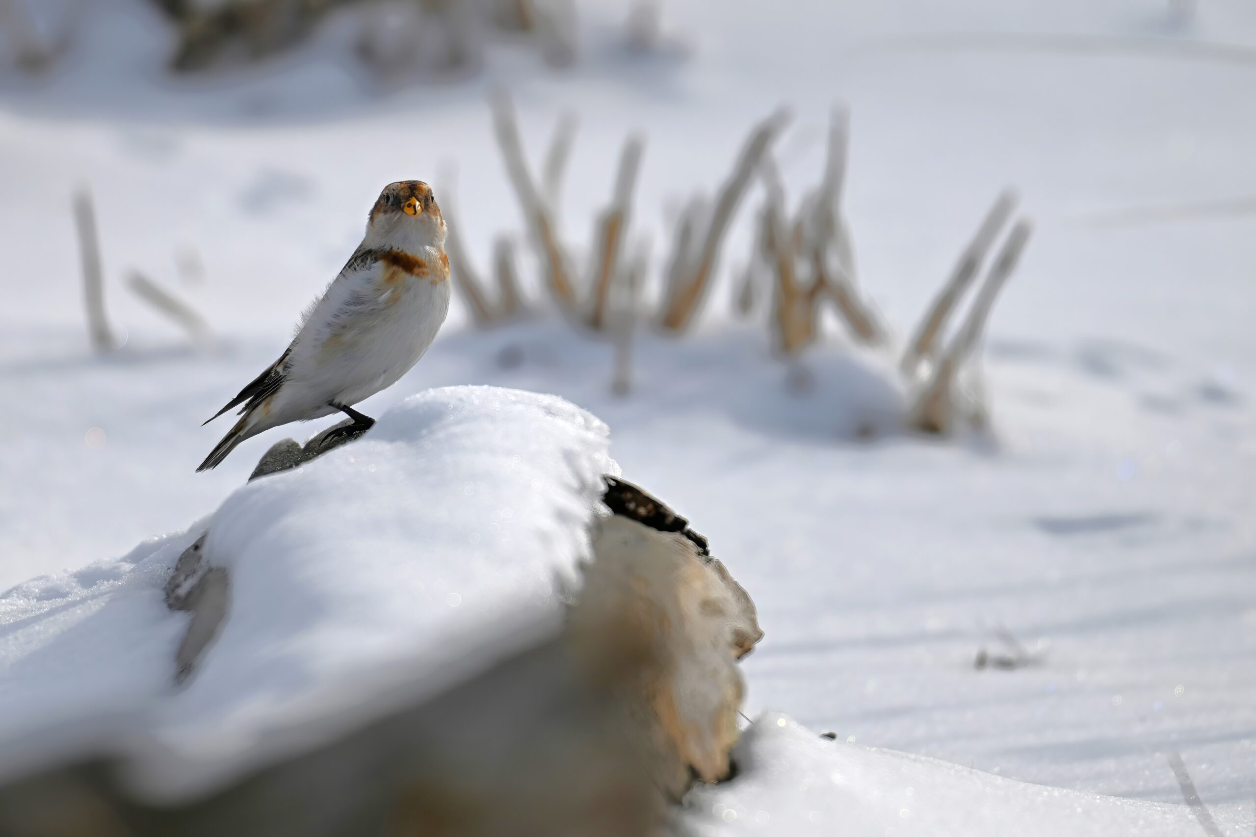
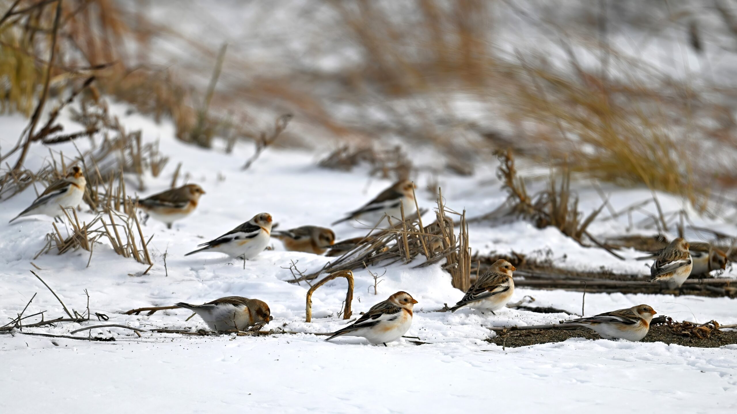
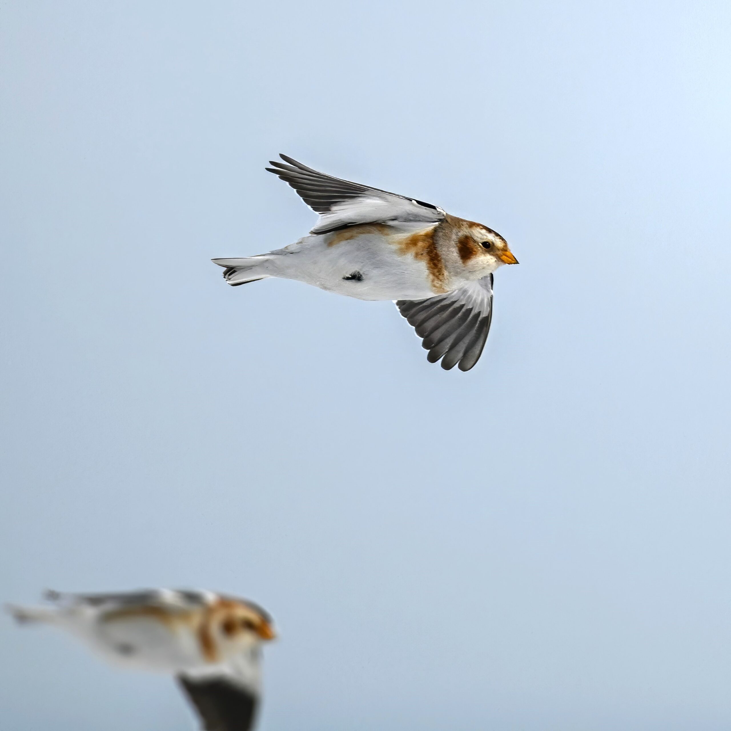
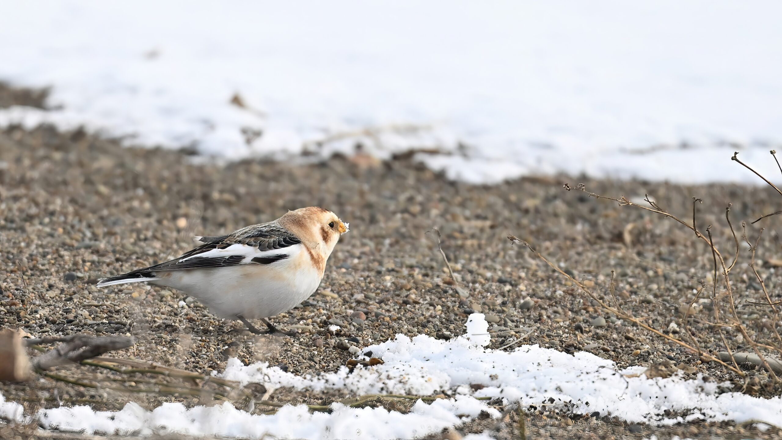
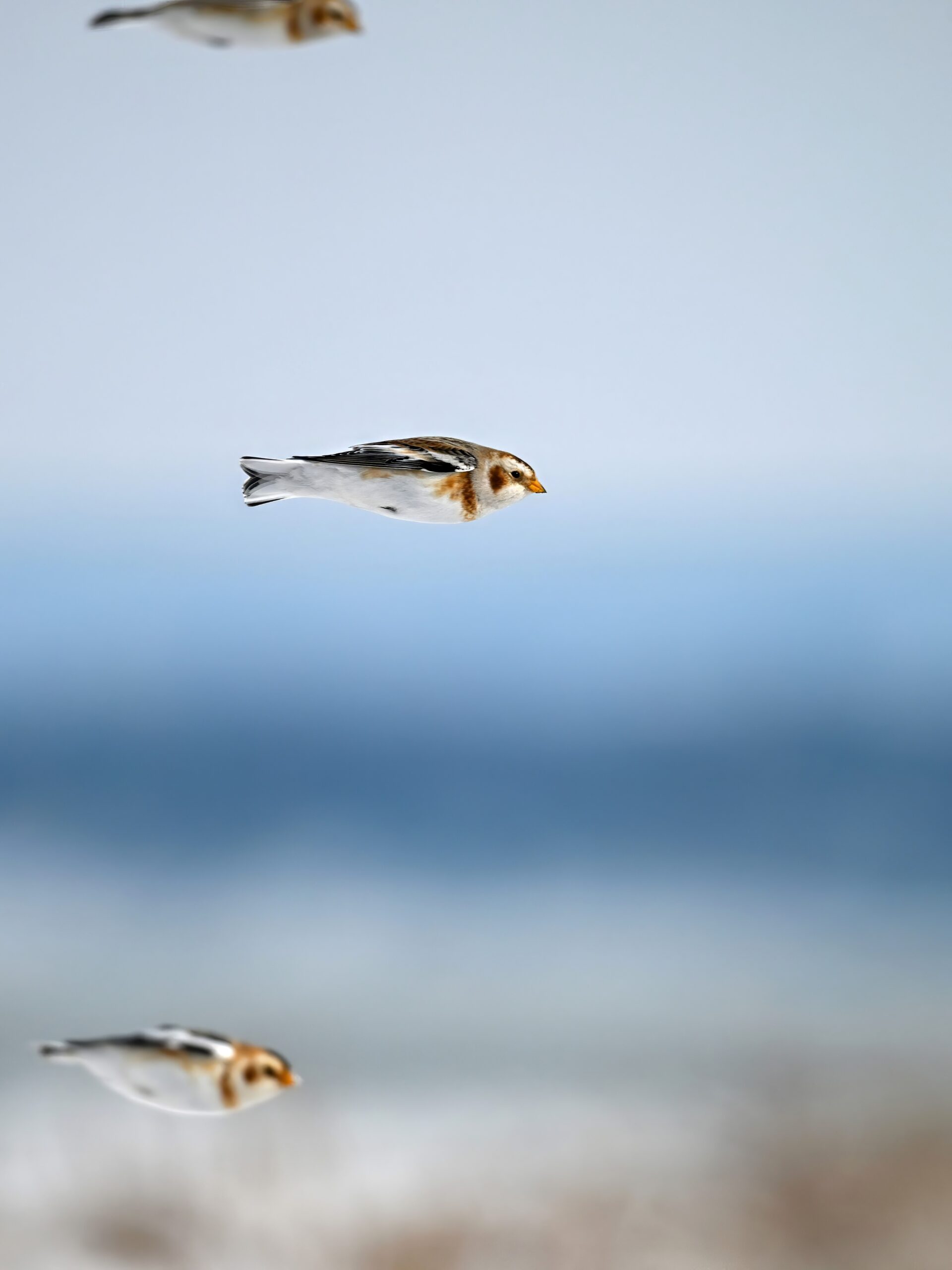
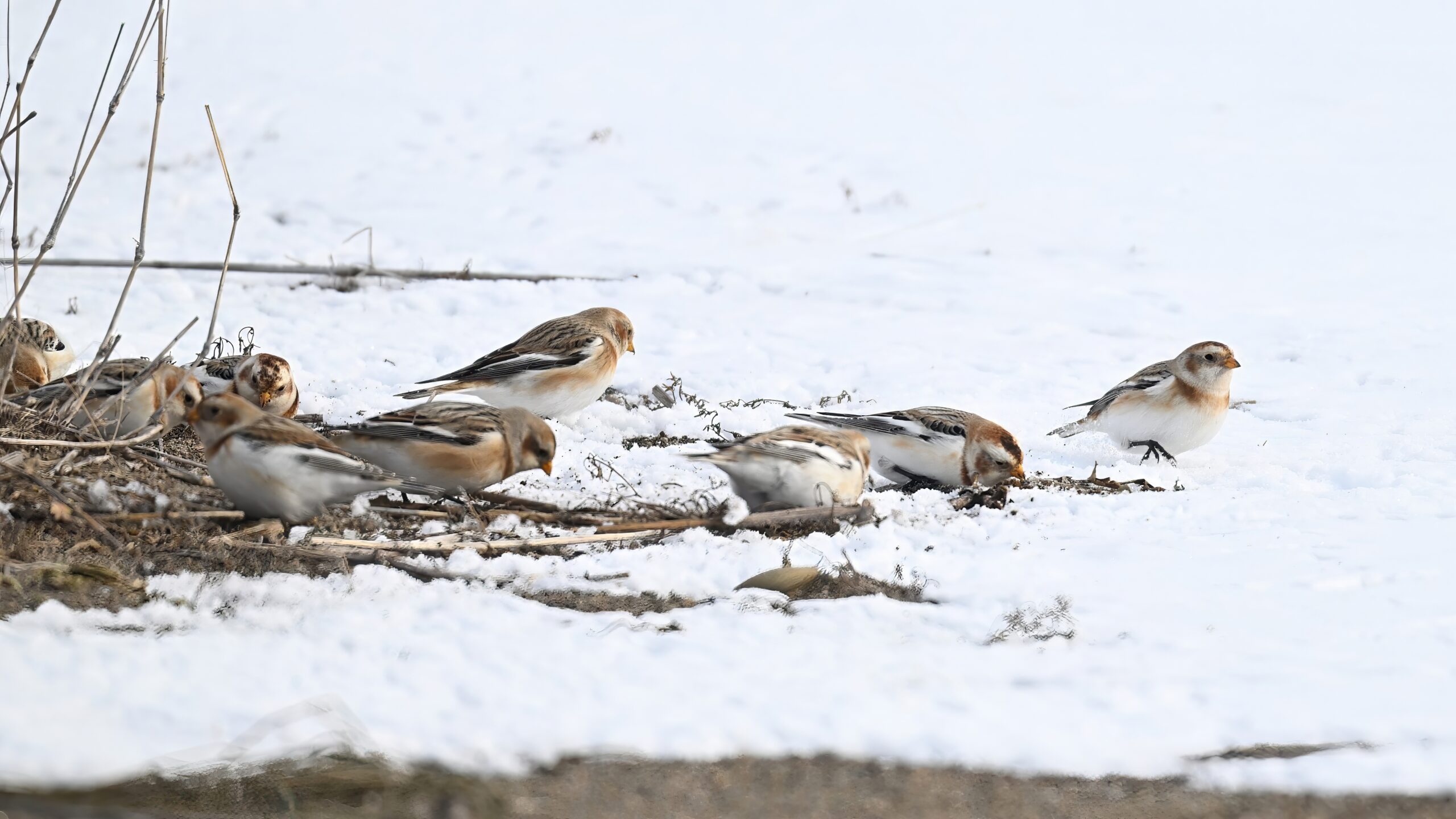
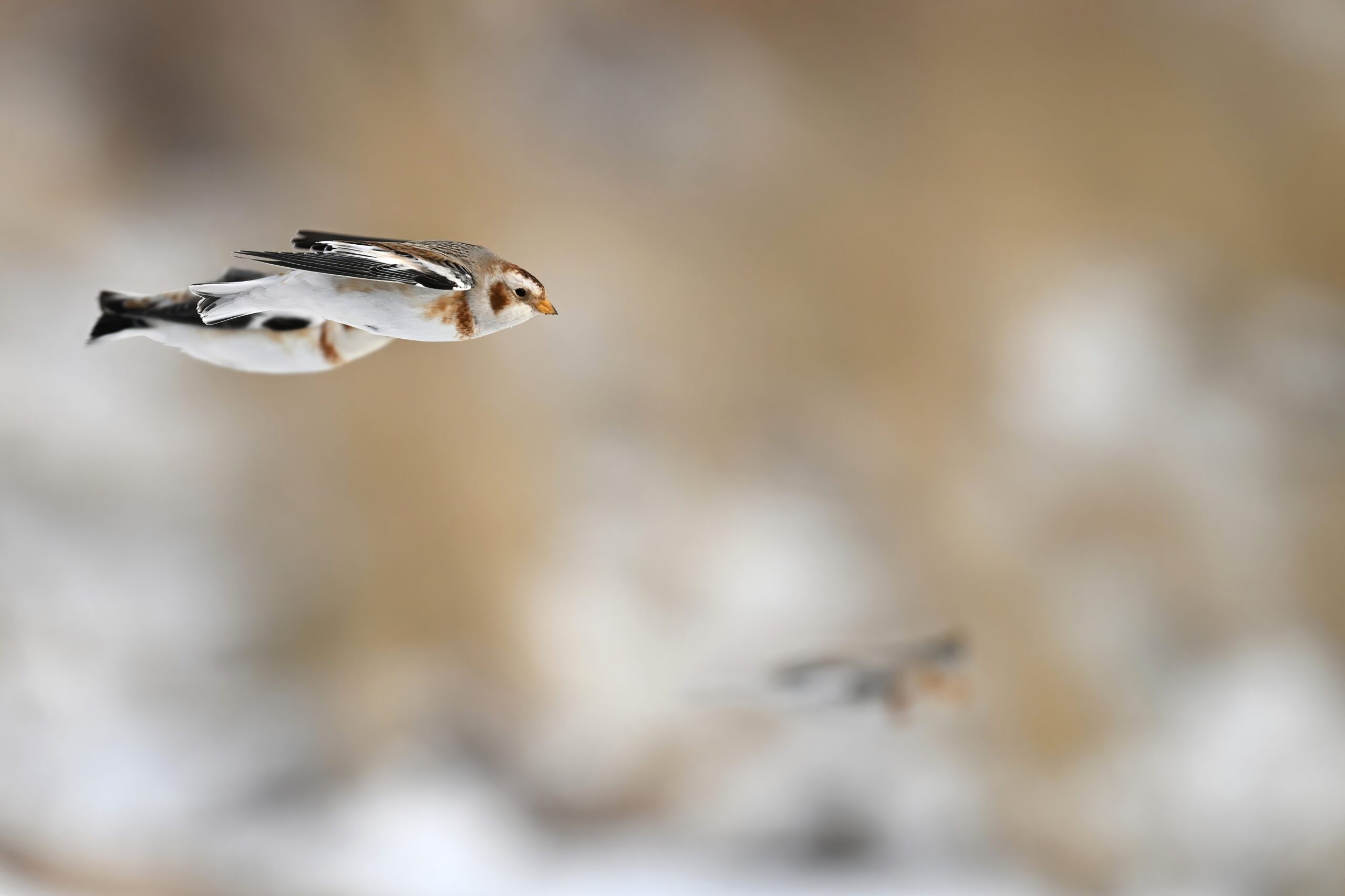
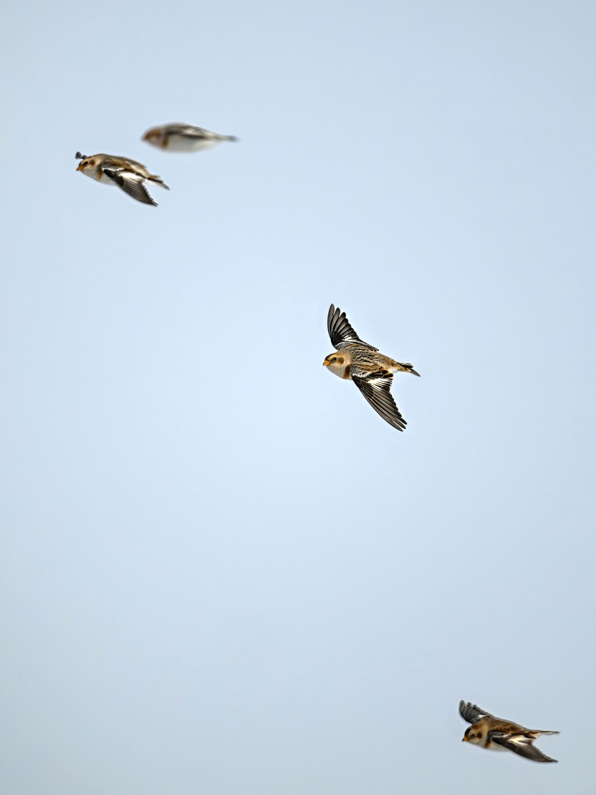
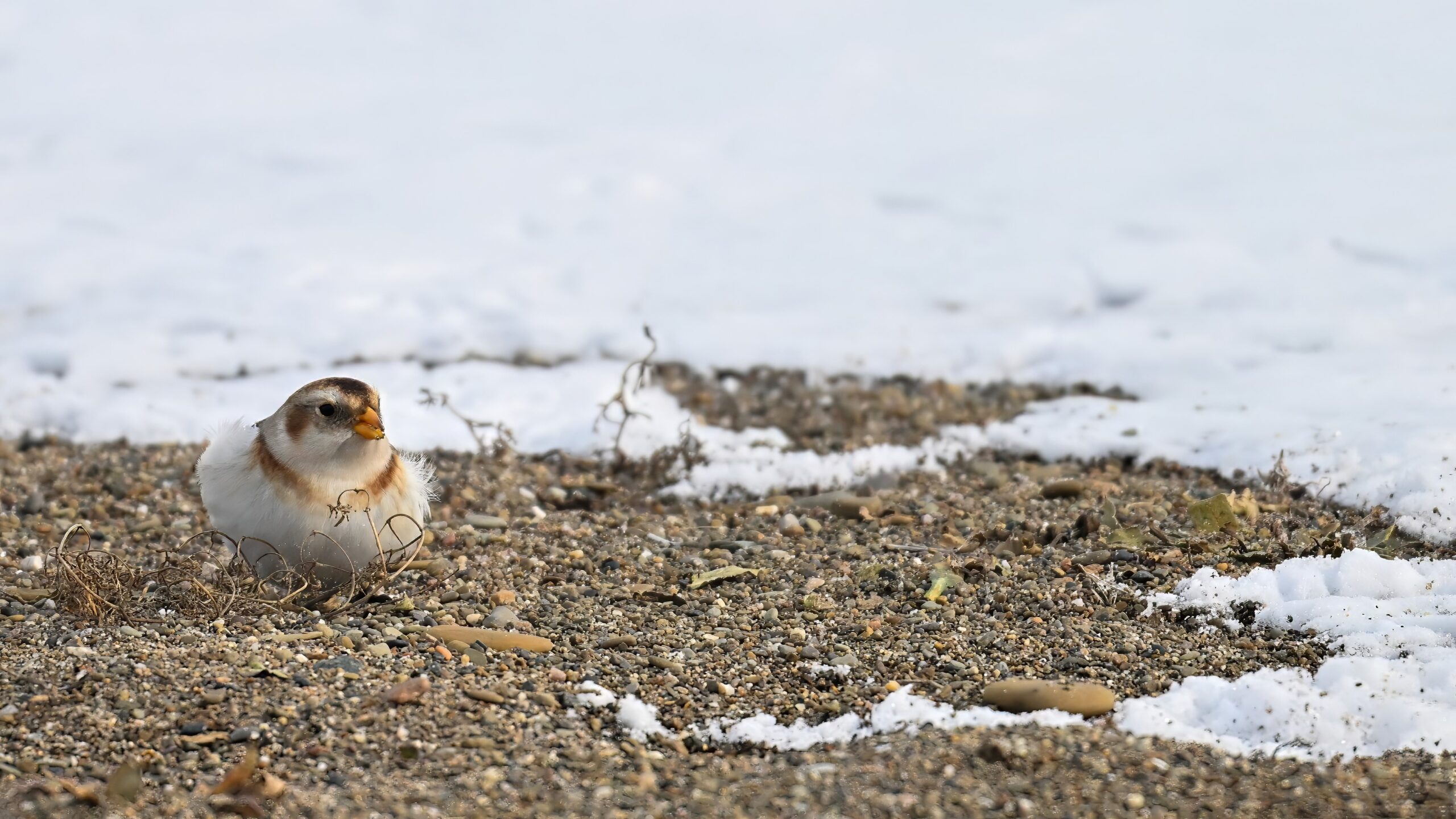
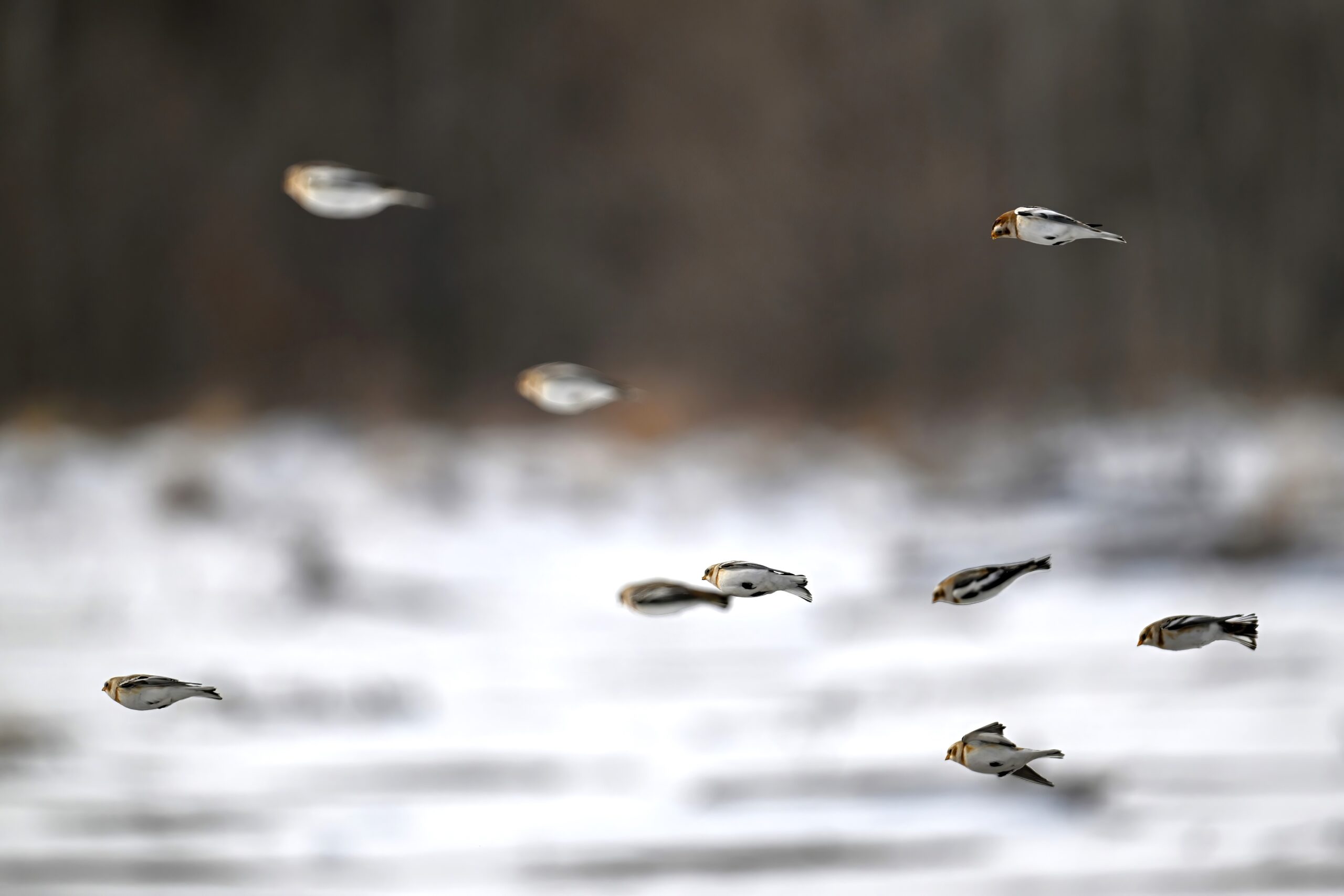
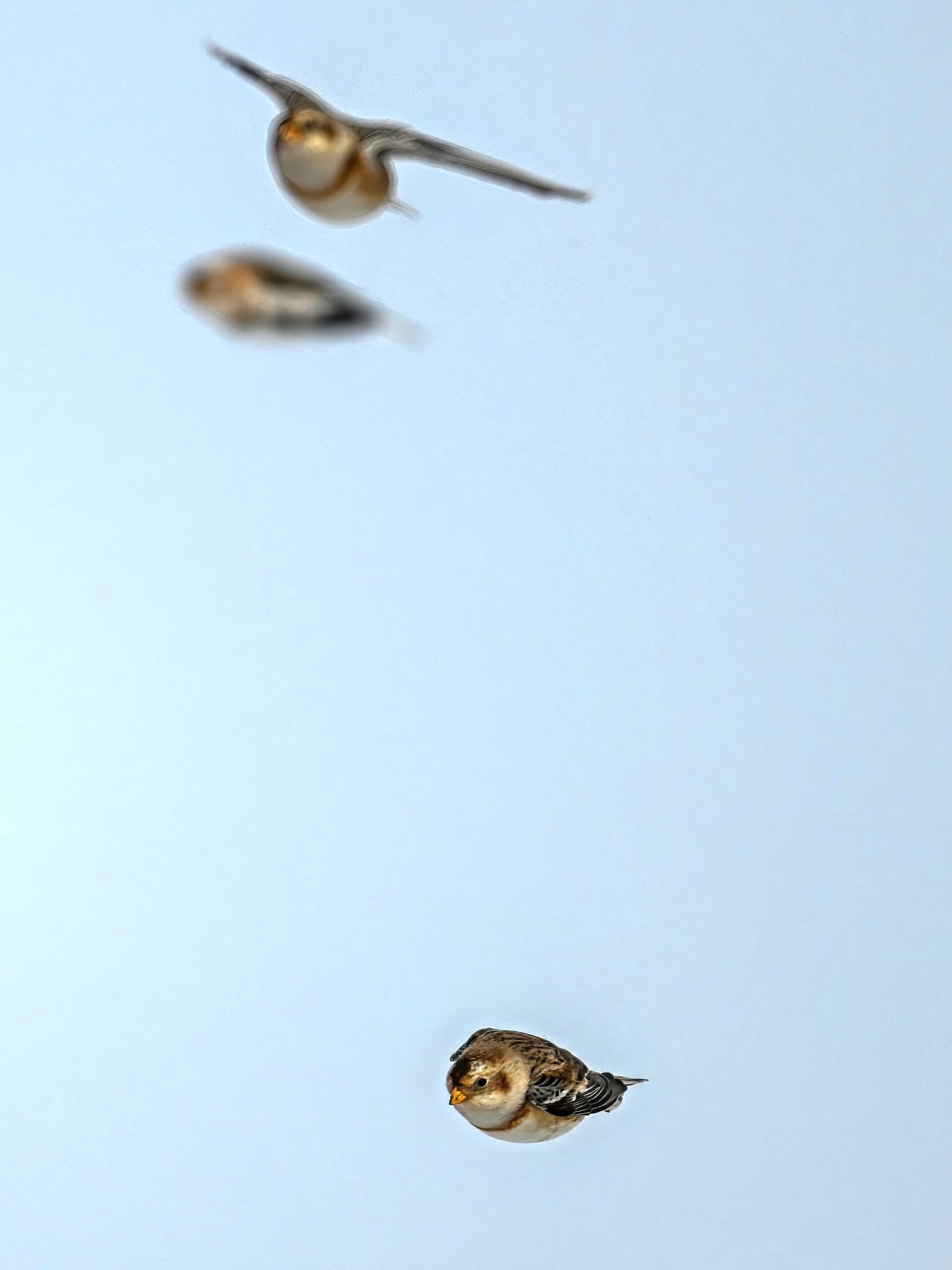
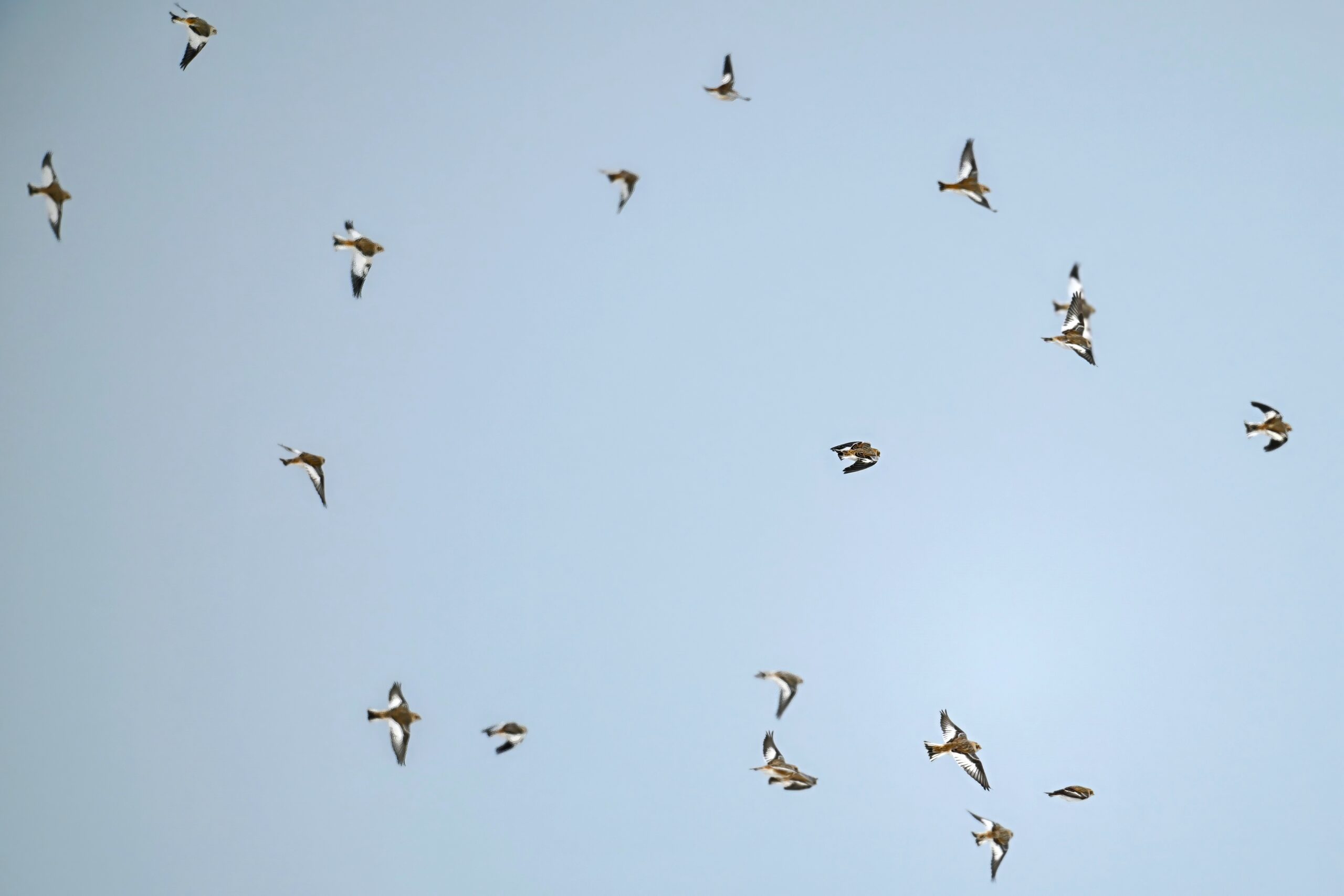
Additionally, also moving along with beautiful Snow Bunting @ outer Gull Point:
Quite a large flock (relatively speaking) of the Snow Bunting, maybe 48+. Alternating between foraging among the sandy/snowy dunes & in-flight (see below):
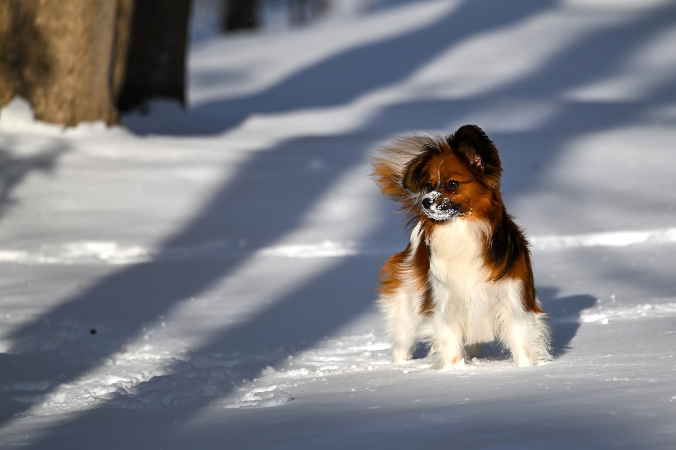
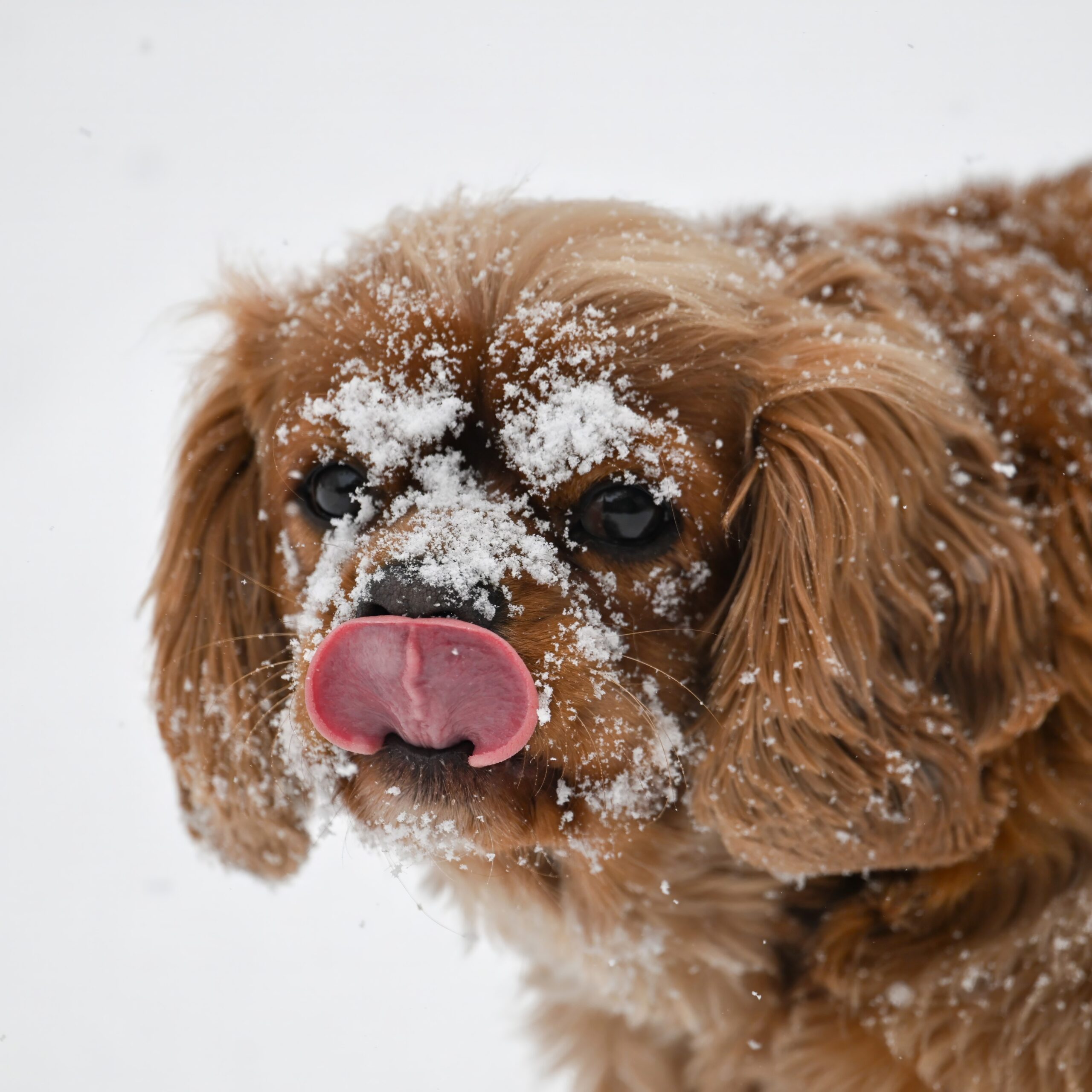
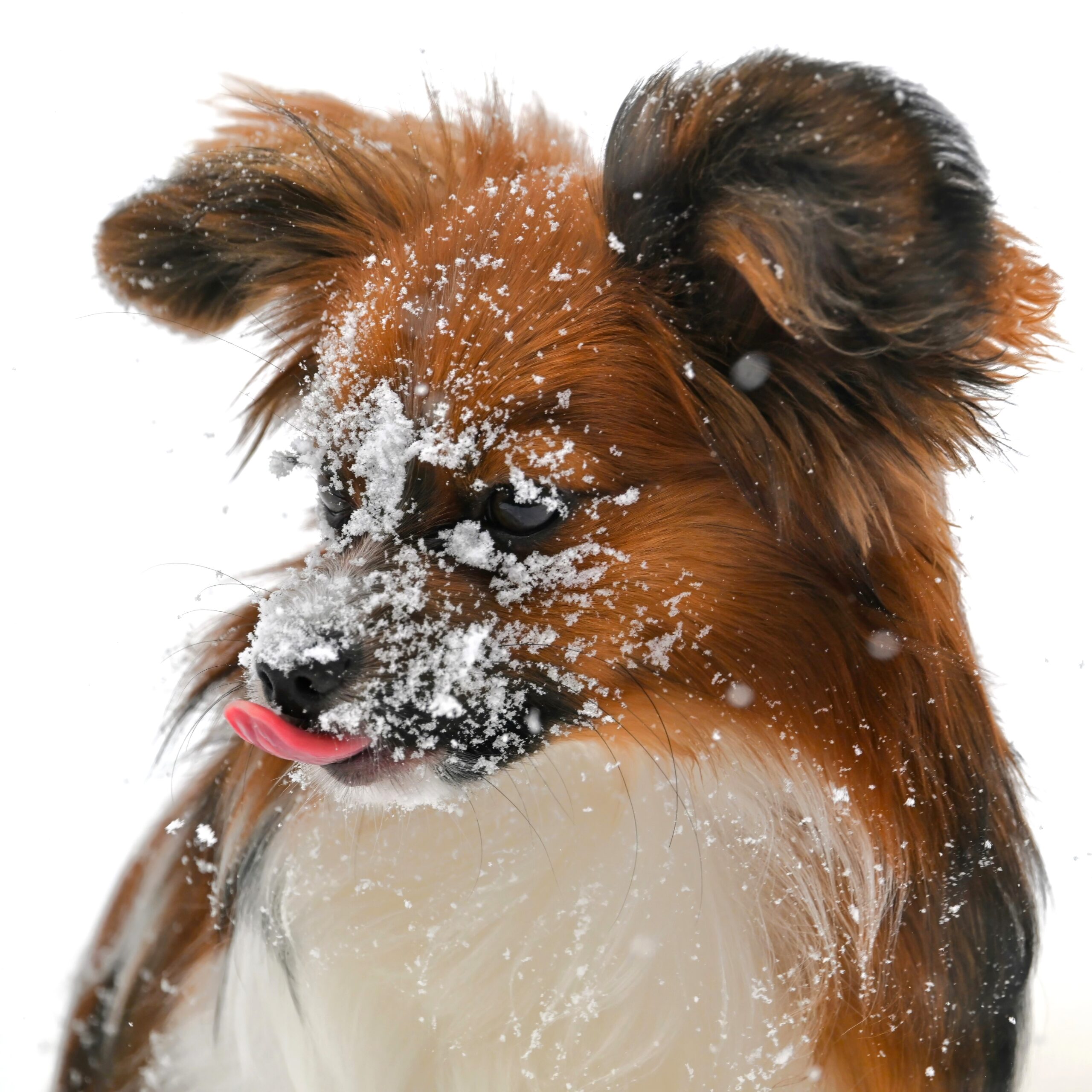
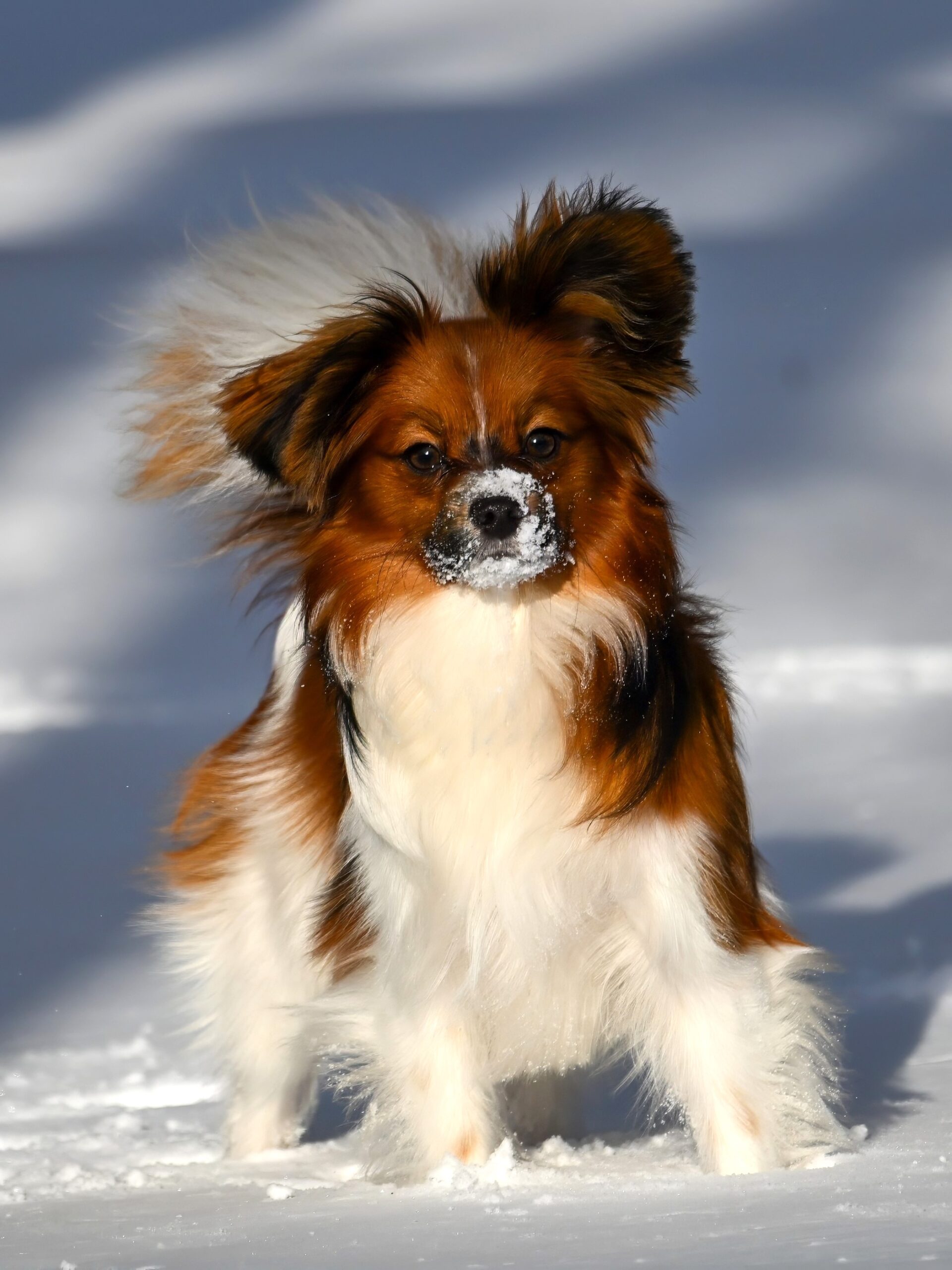
[Editor’s note: After “considerable debate,” BirdingPI.com management decided to allow ‘bonus posts’ of photographs of staff pets, despite it being mostly a ‘nature/bird website.’ Because, # wild animals?]
Following shots of domesticated Dog (Canis familiaris)in the cold/snow today @ Millcreek Twp (“Gateway to Presque Isle”):
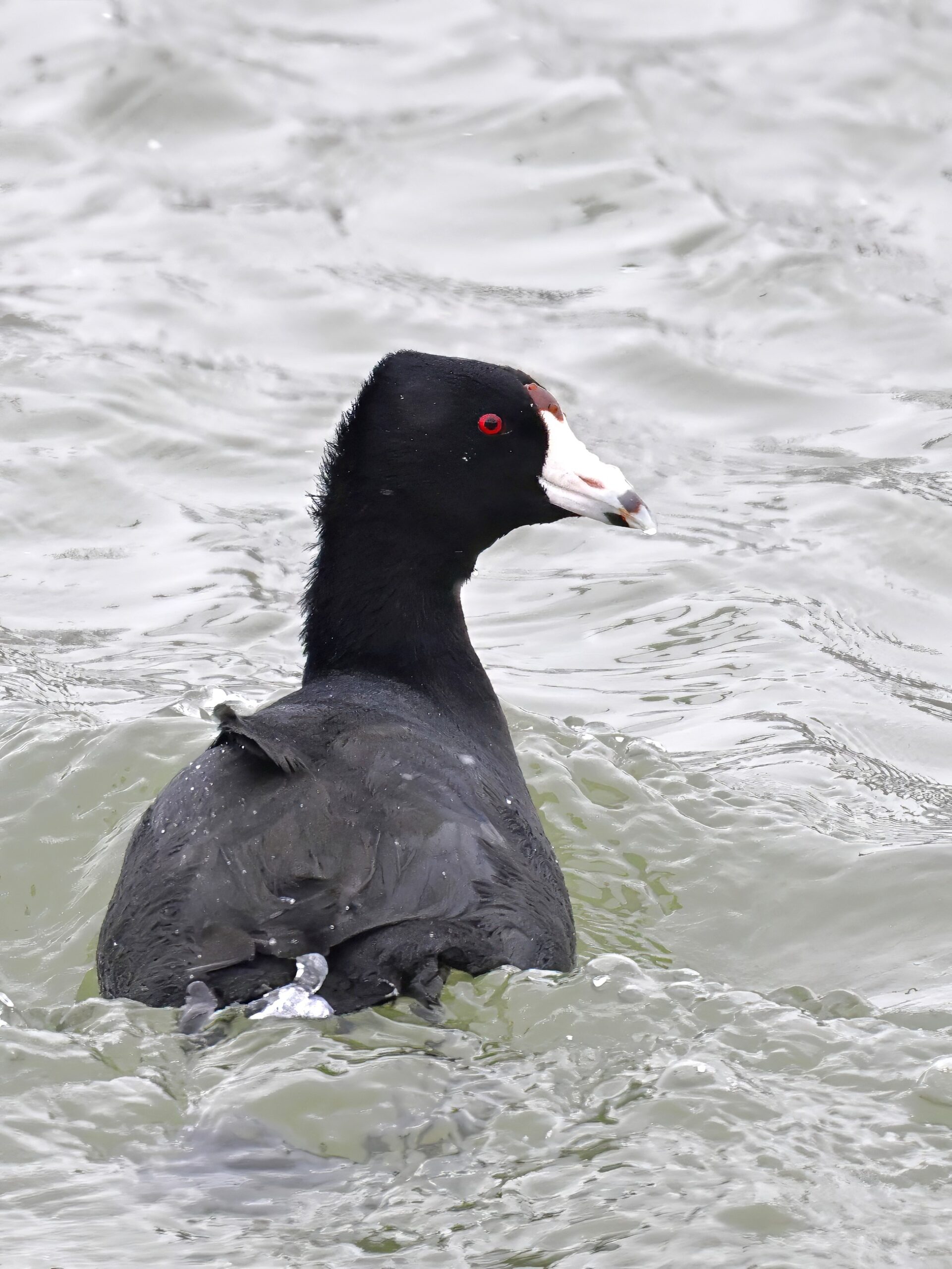
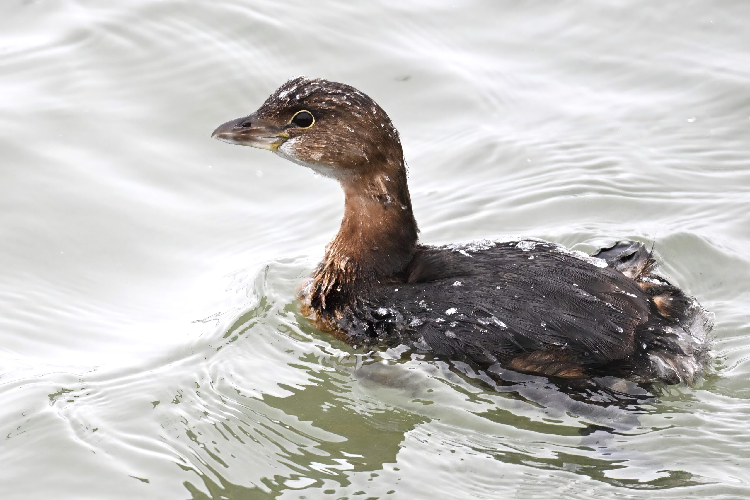
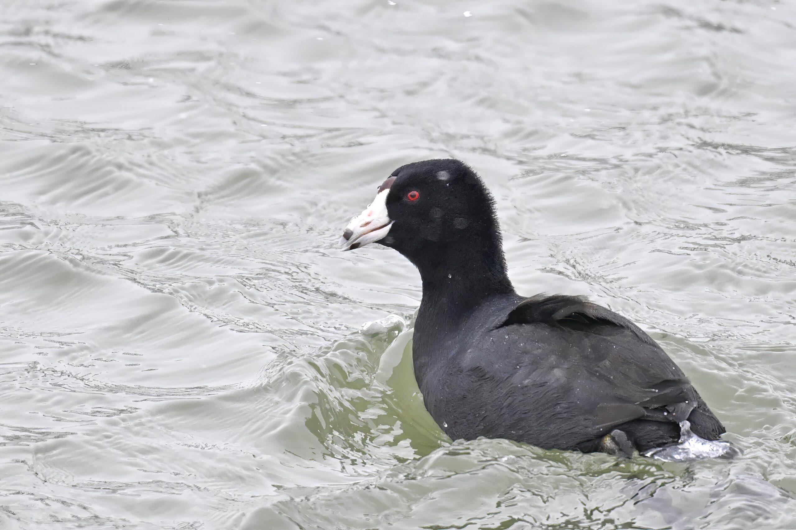
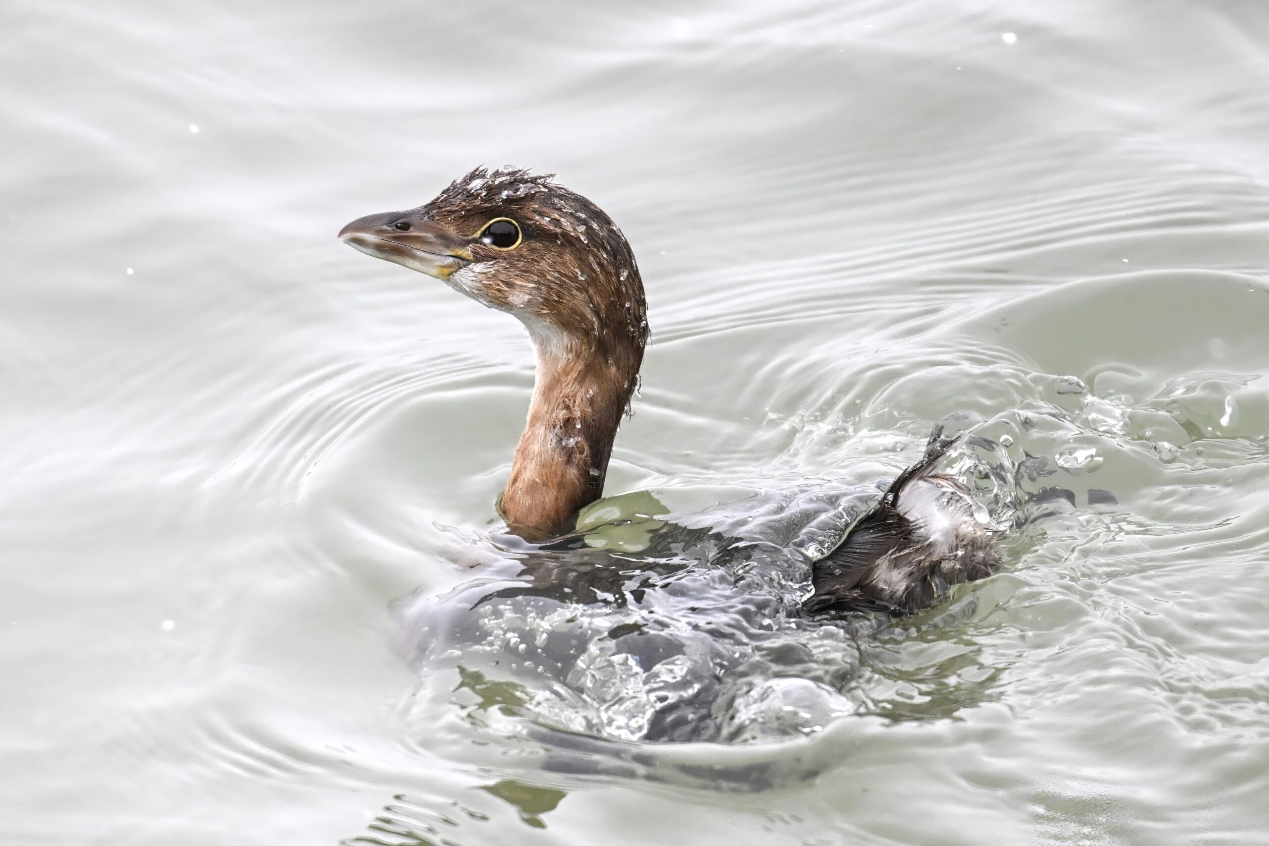
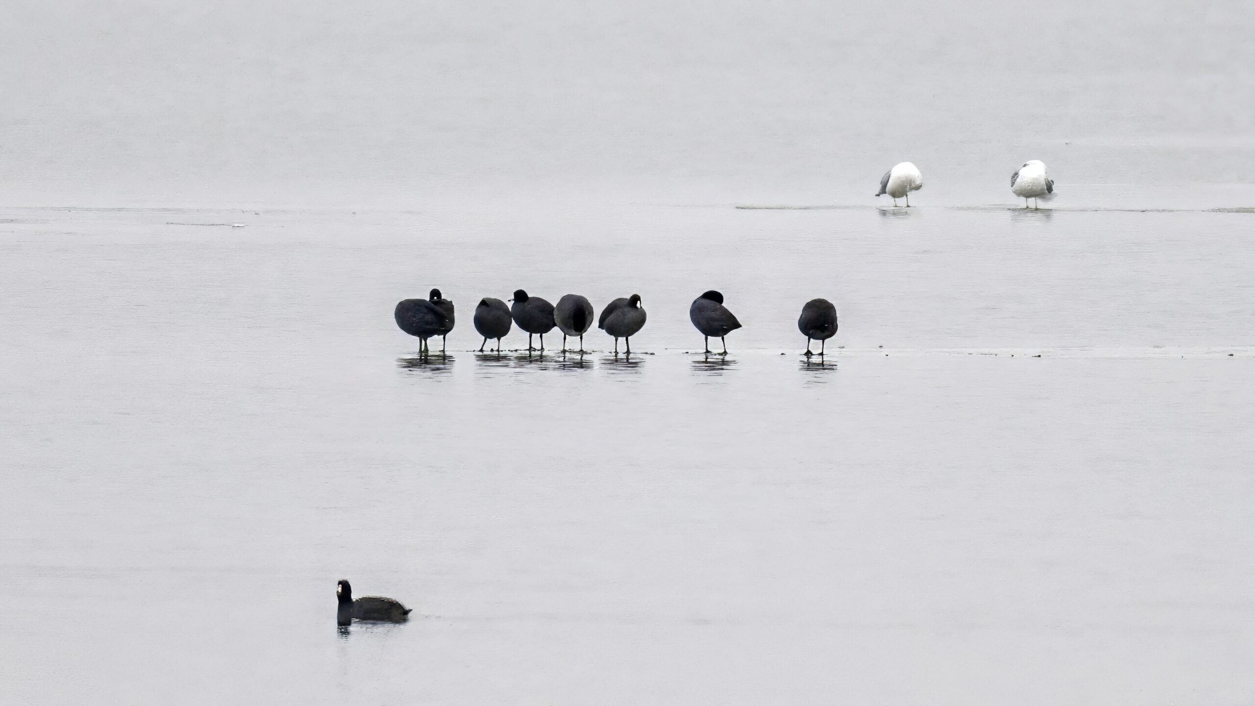
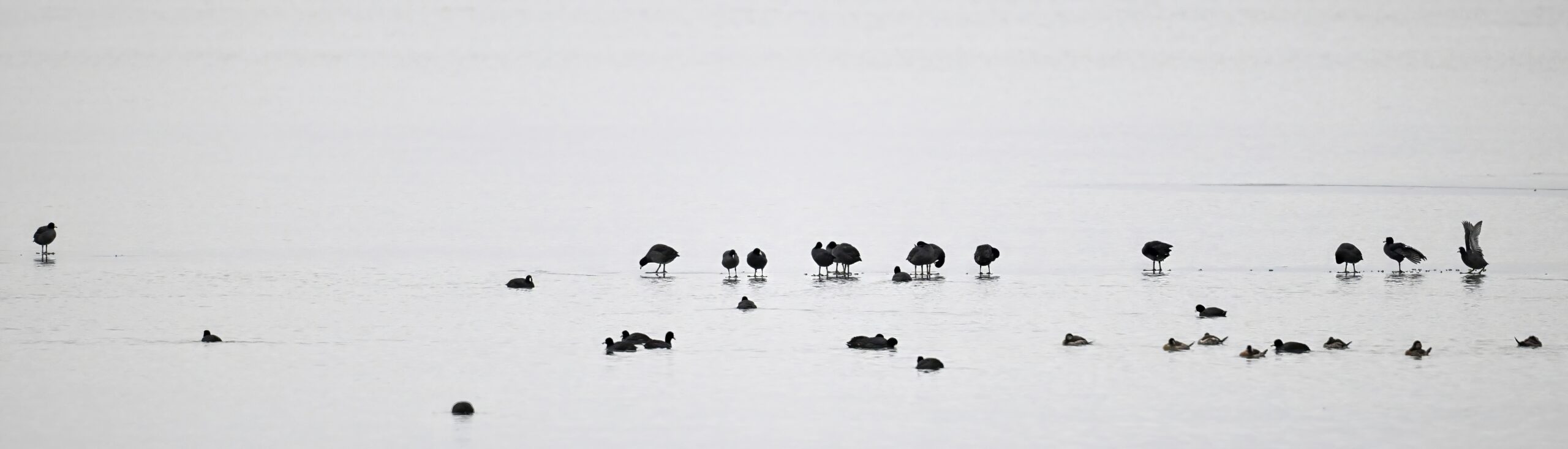
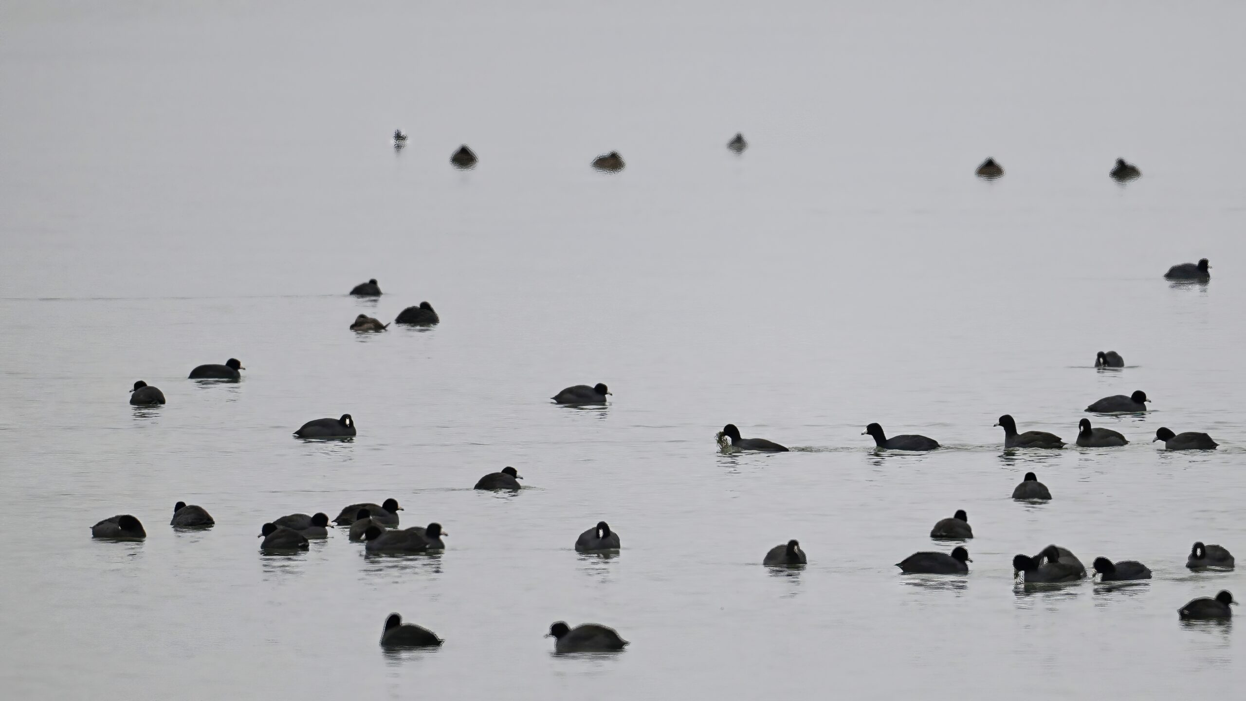
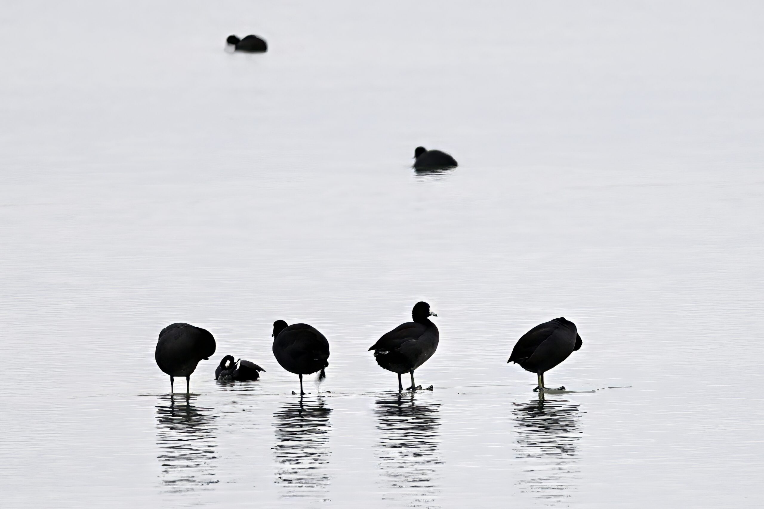
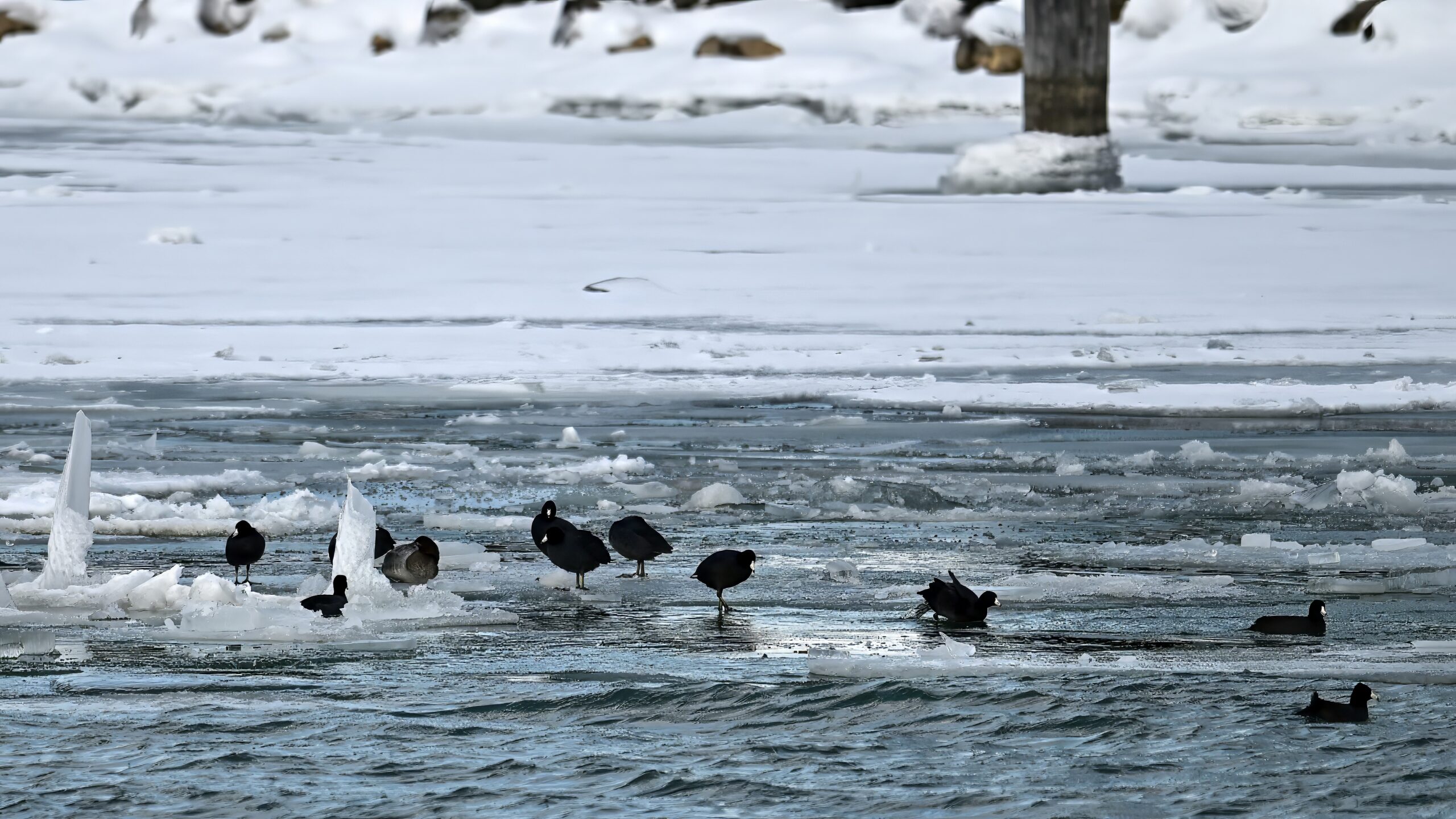
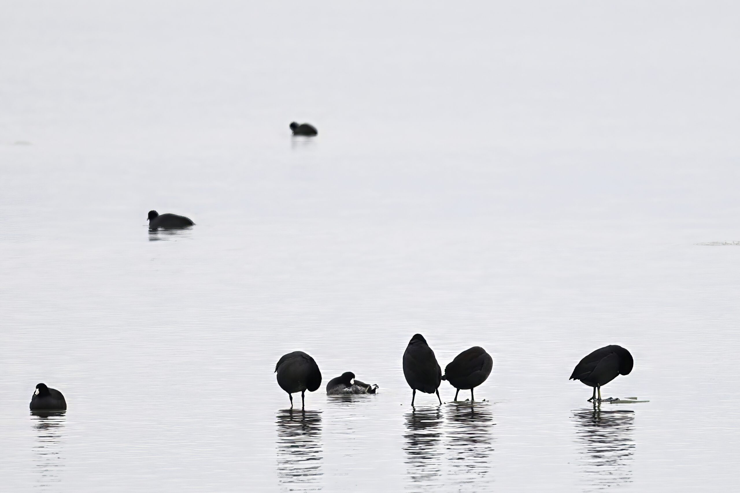
No BirdingPI.com field operations yesterday due to weather conditions. (Rain followed by hard cold = slippery trail conditions = recipe for disaster.) Weather in Erie County, Pennsylvania today: snowy, approx. -11 deg C. Before going back to Gull Point the other weekend (or otherwise), here’s a spotlight on American Coot, featuring recent shots in flight, on ice, and on the water:
Coots on ice & water off Beach No. 11
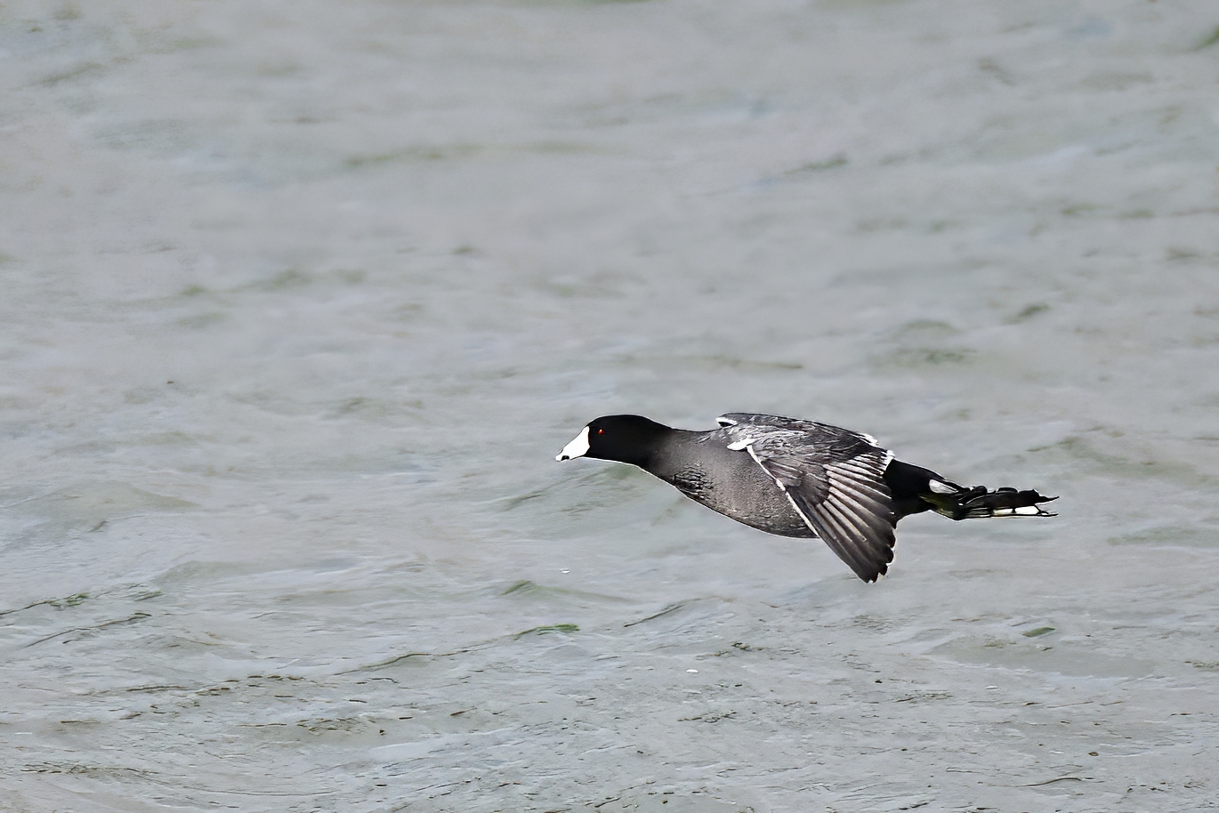
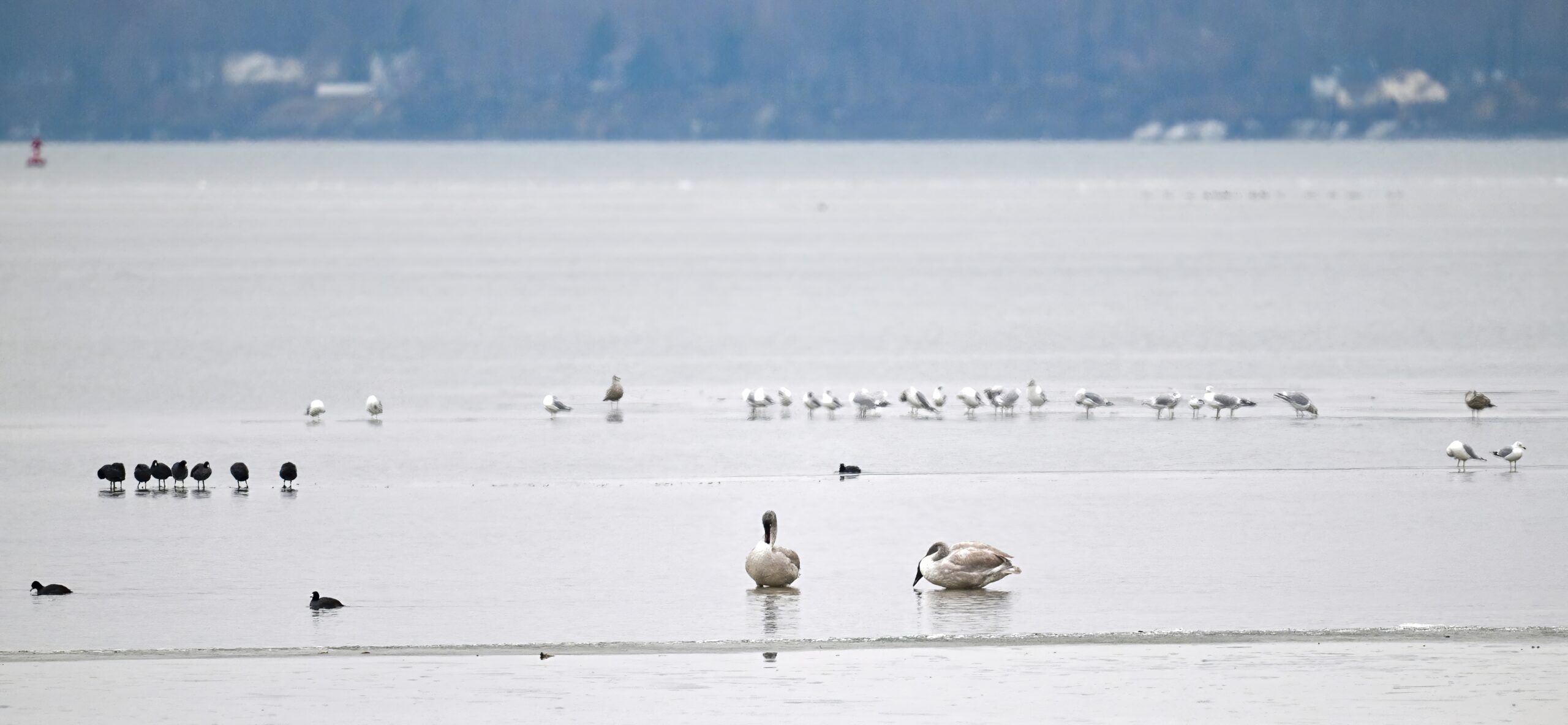
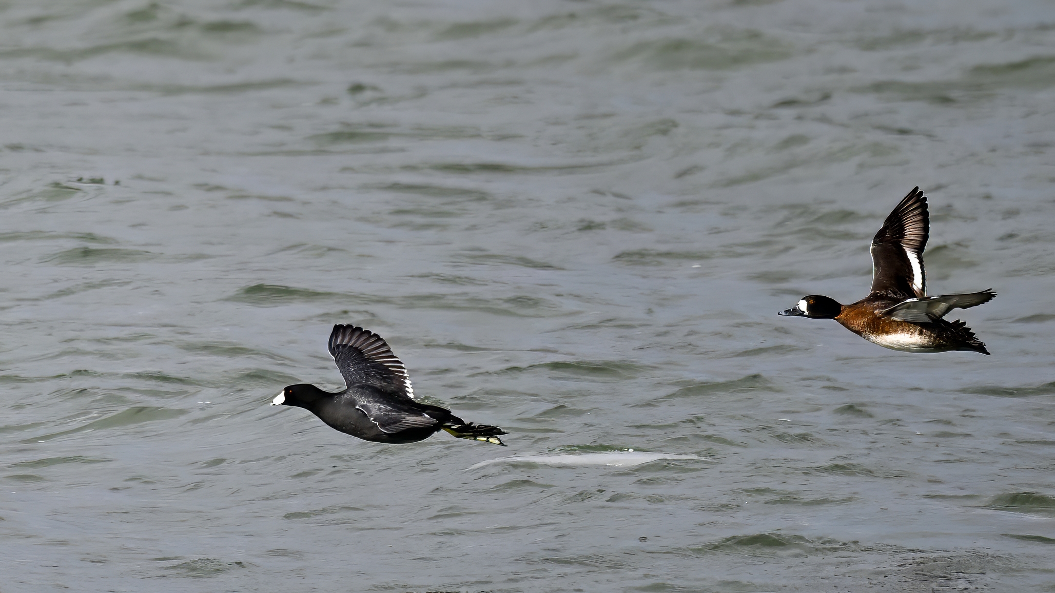
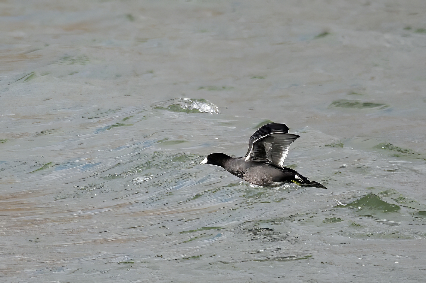
Like Wild Turkey, American Coot are fine flyers, but it doesn’t seem to be the preferred means of locomotion (e.g., much more likely to see a Coot swimming than flying):
CIF off South PierCoots, Tundra Swans, & gullsAmerican Coot (l) + female Lesser Scaup (r)Coot arrayIn flight duoFeaturing Tundra SwansCIF w/ RedheadsCoots foraging on outer Thompson BayIn the air, on the waterAnother Coot lineupCoot in air, Coot in waterMore Tundra SwansMixed waterfowlCoots on ice by Coast Guard StationCIF, Coot in water, w/ RedheadsLineup IIFinal CIF
After seemingly a long drought of Snowy Owl in Erie County, Pennsylvania, the BirdingPI.com staff was rather distraught (moderately bummed at least) to miss the individual reported in eBird as having been seen at Gull Point before Thanksgiving. But like Owen Wilson’s character in The Big Year (great, low-key movie), just keep persevering, and the perseverance eventually pays off around New Year’s. (Here, missed it by 19 days.)
Wrong movie
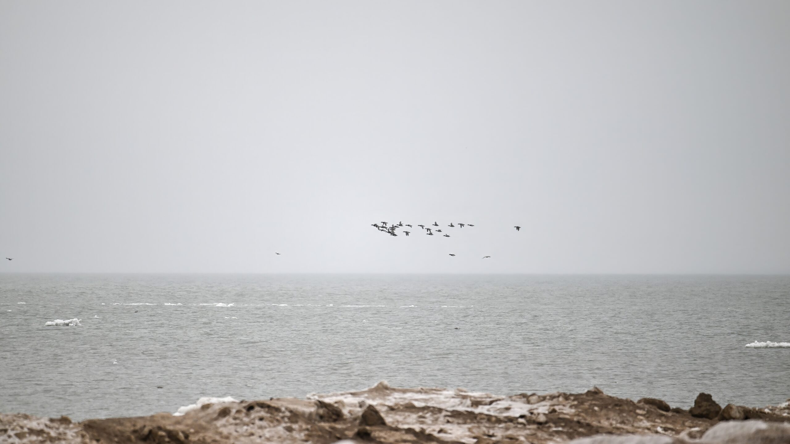
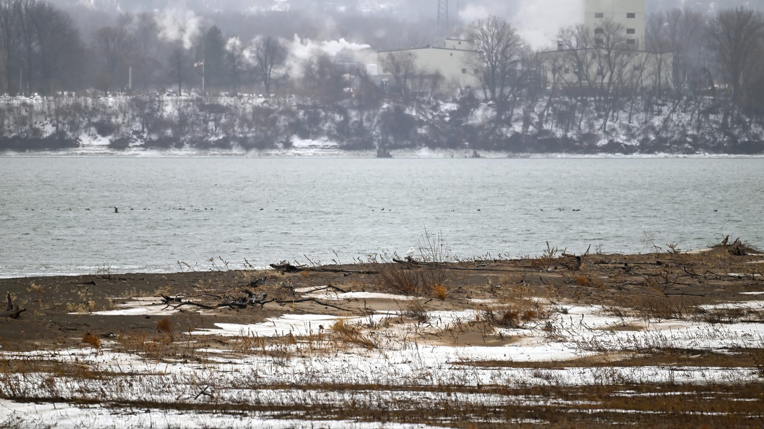
As of this past Friday, there were multiple reports in eBird of another Snowy Owl sighted at Gull Point. As of Saturday, it was cold, overcast, and rainy. Despite the conditions, considering missing the earlier owl, it was time to draw straws for outside winter suffering:
Gull Point @ outside winter sufferingHerring Gulls on iceRedhead ducks over outer Lake Erie
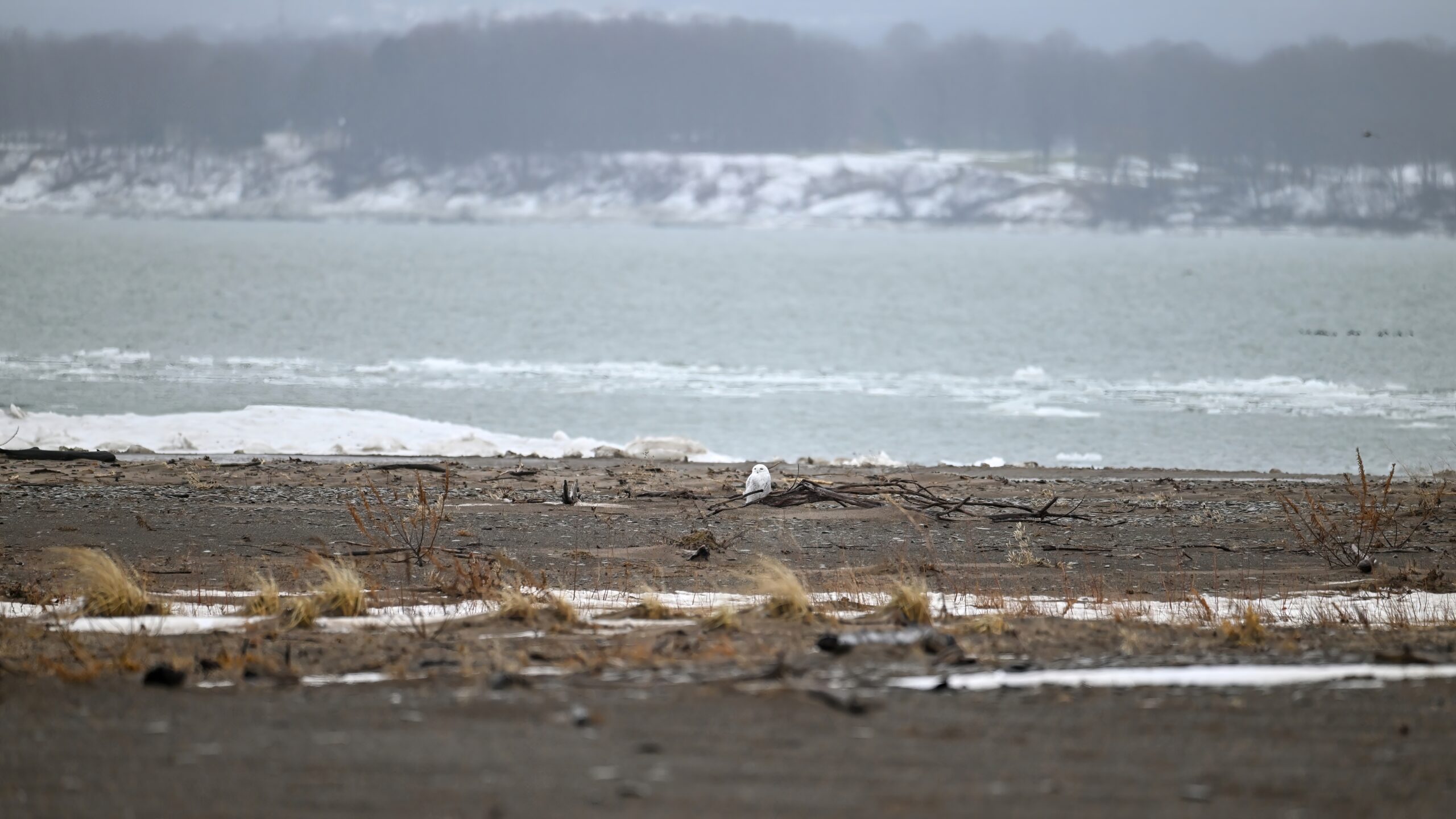
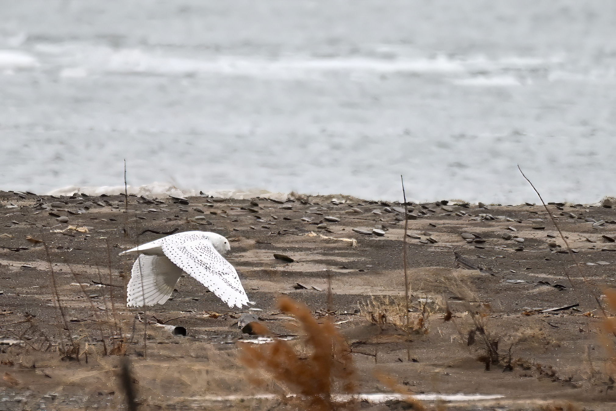
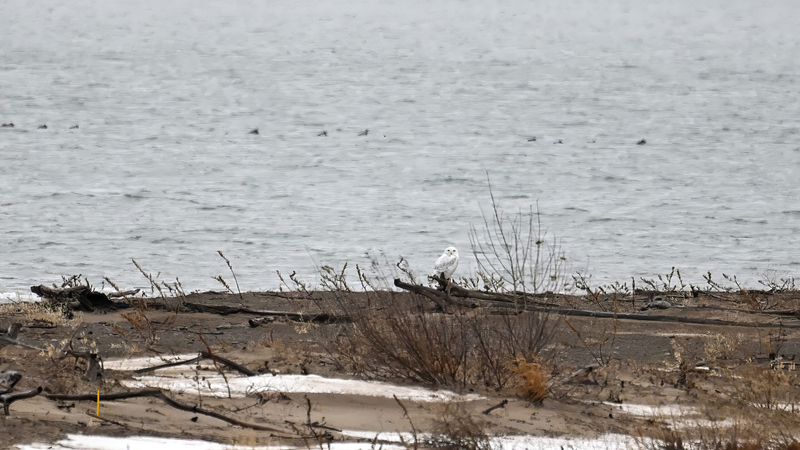
Seemed like a bad idea, but even bad ideas pay off sometimes, with a BirdingPI.com ‘first ever’ of Snowy Owl at Gull Point, initially sighted at the NE point along the outer beach:
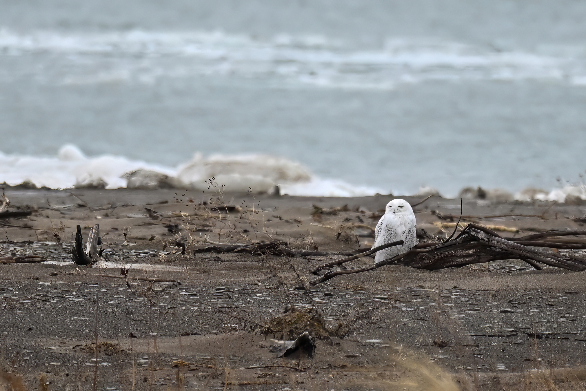
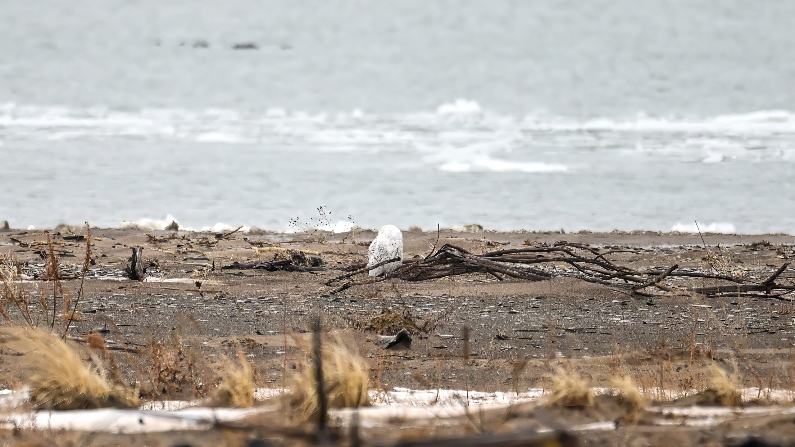
After walking to the old observation platform, a slightly closer view:
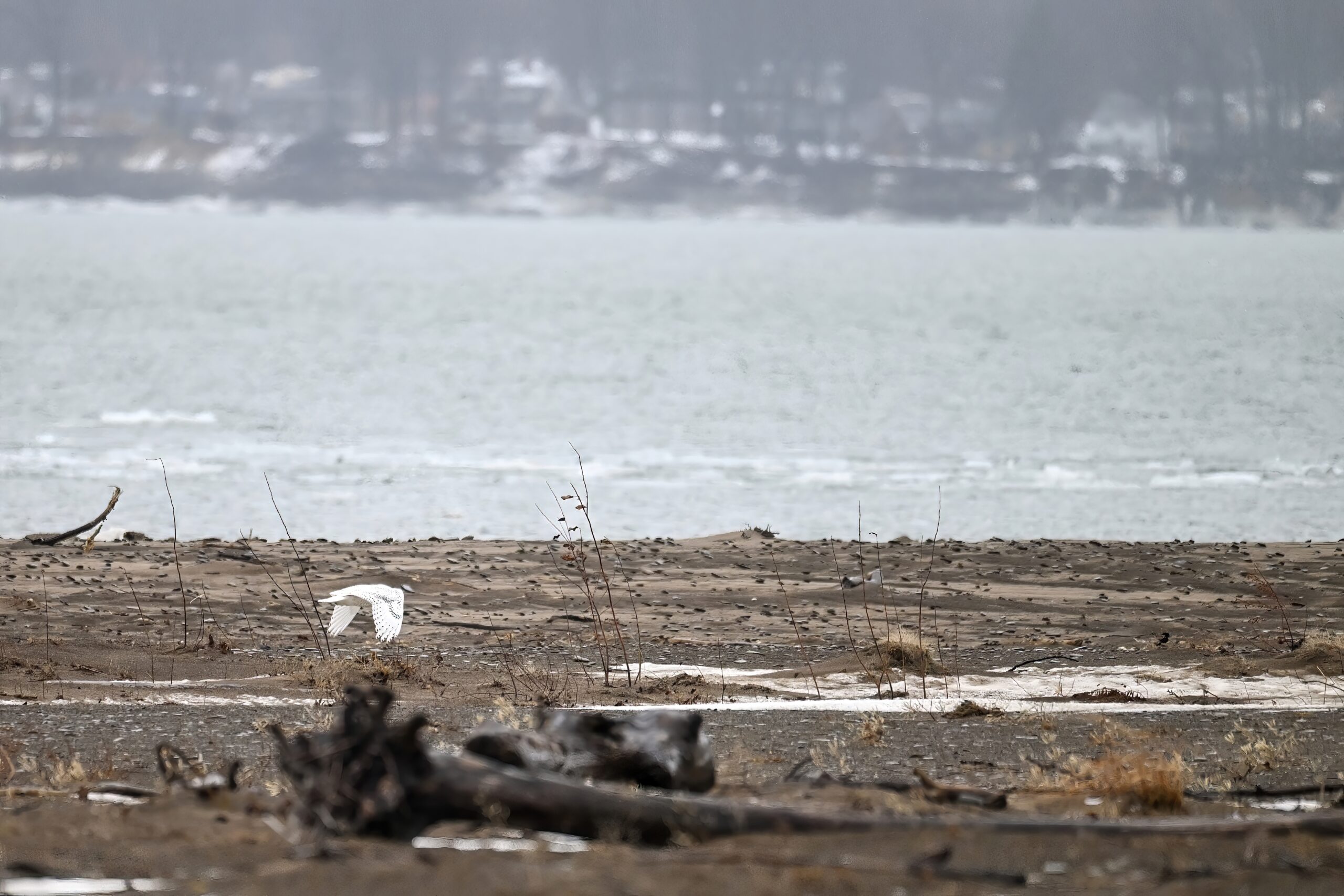
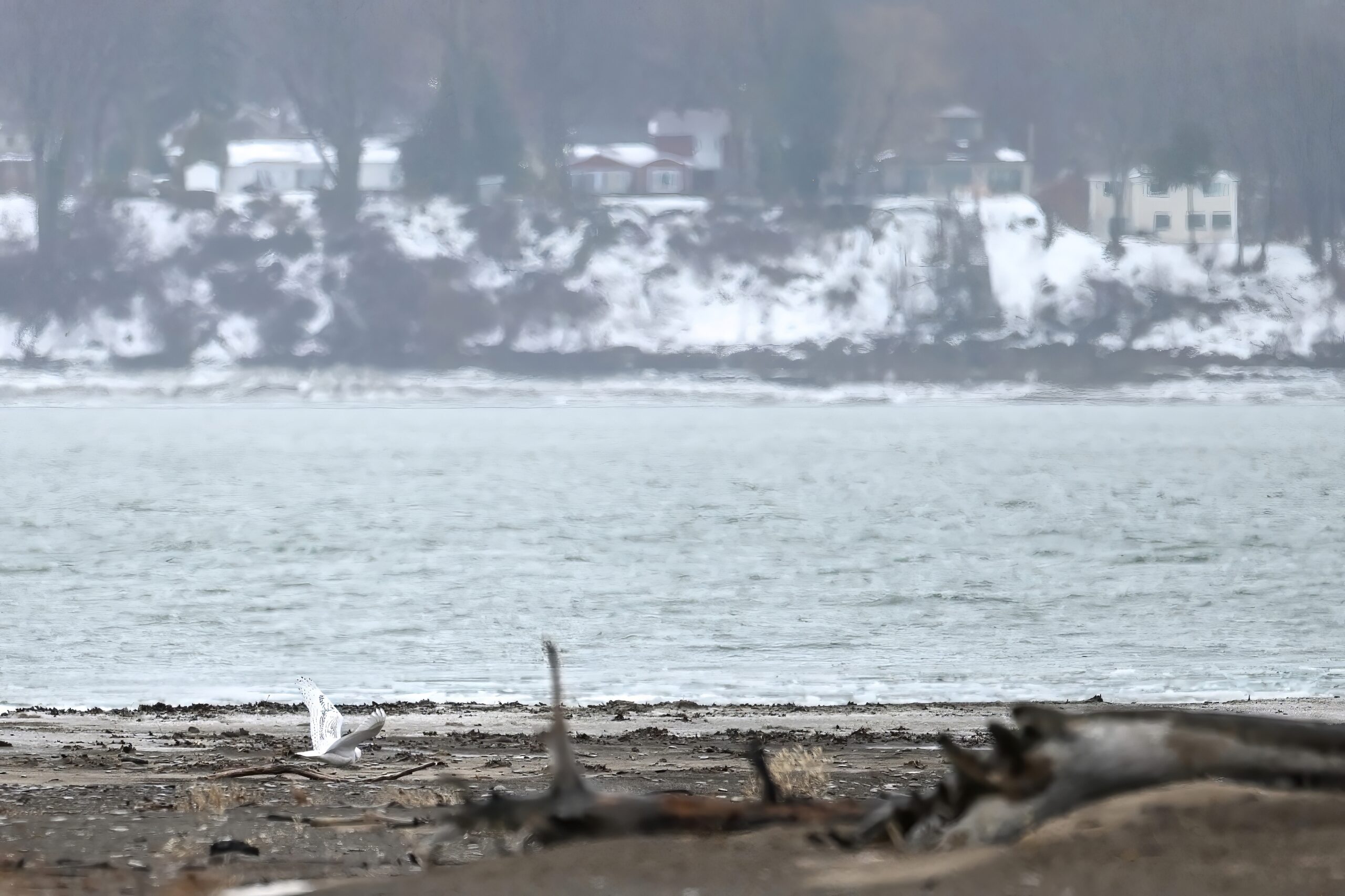
View from observation platform, uncropped @ 400mmCropped @ 400mm
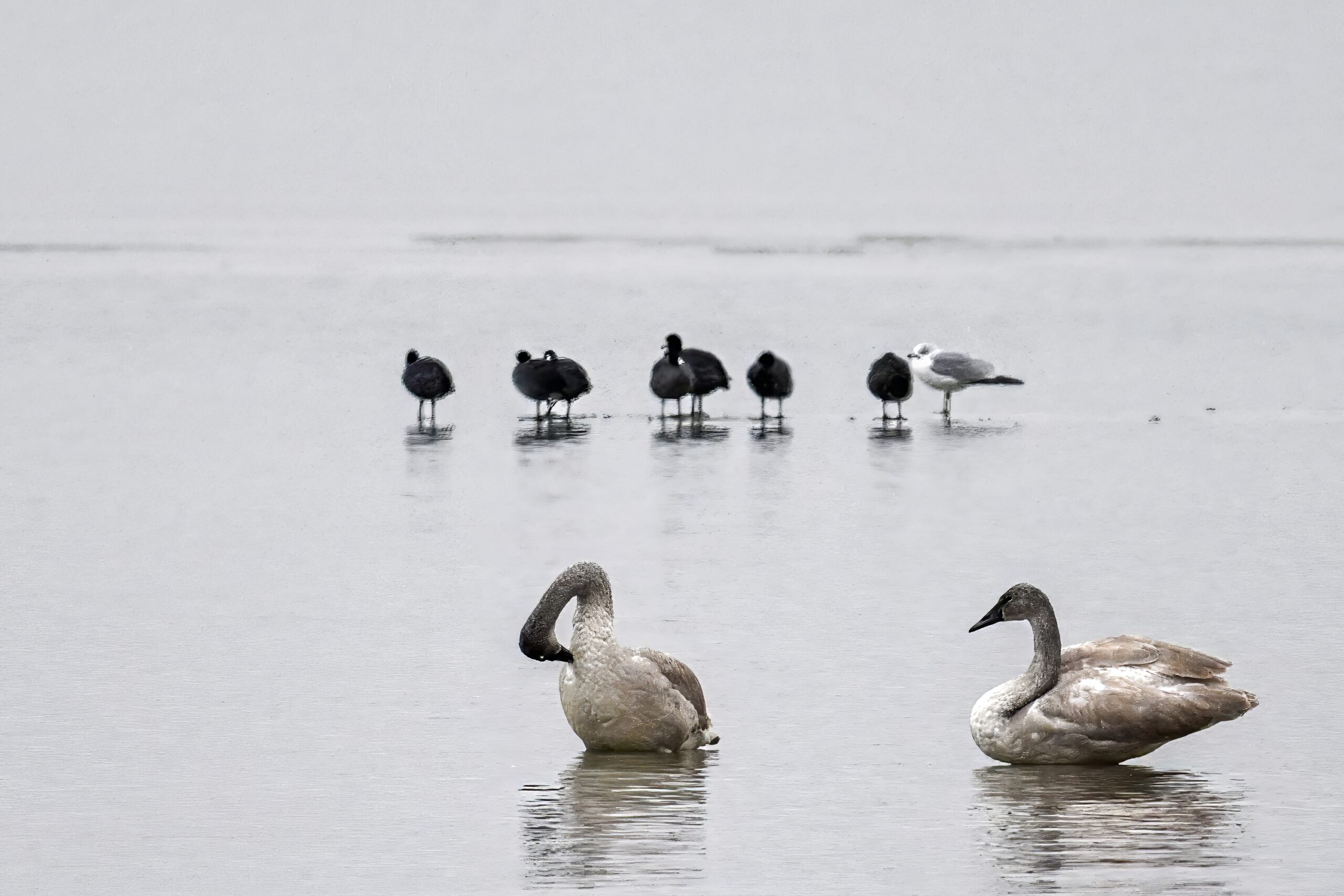
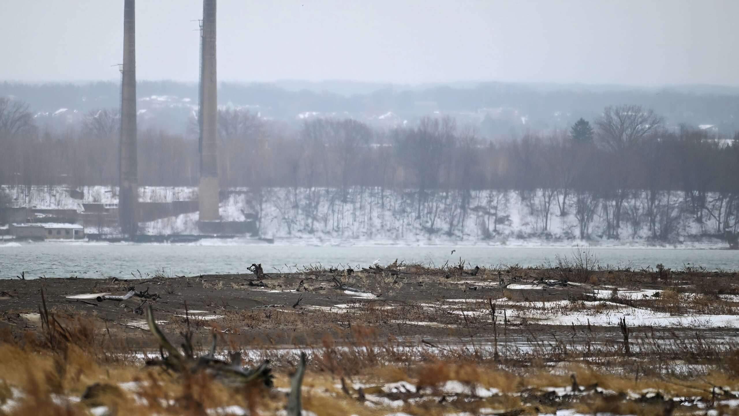
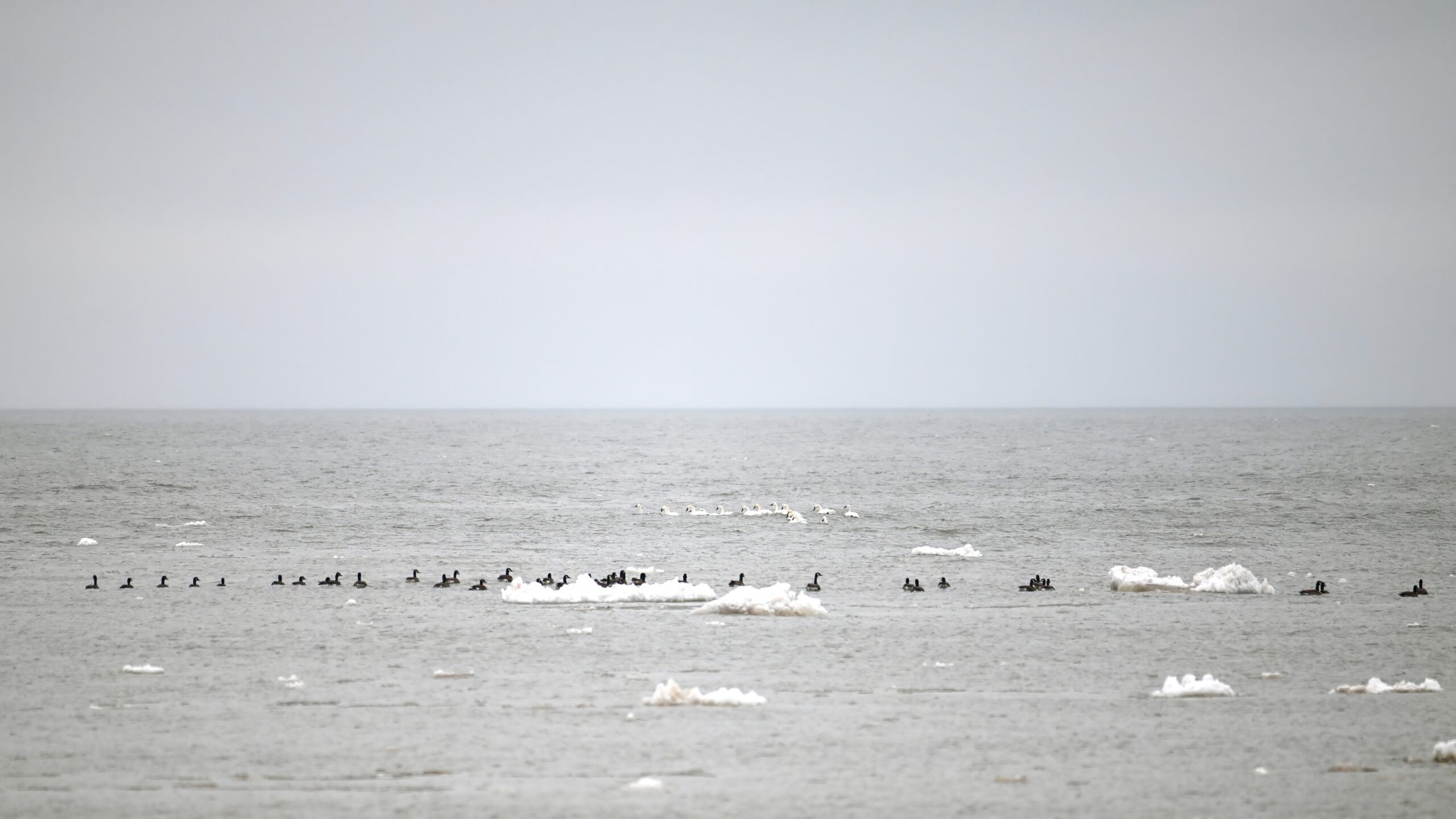
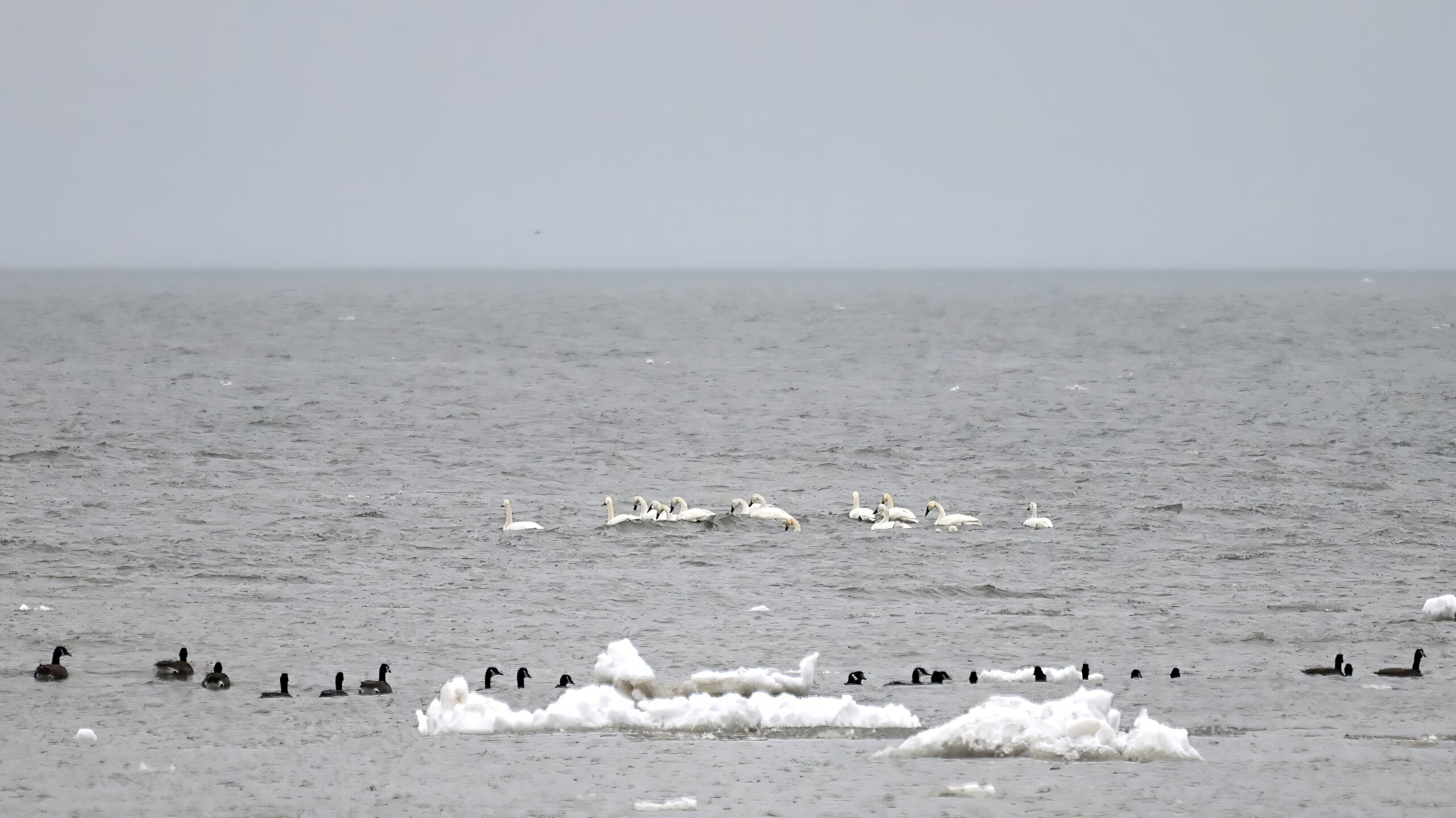
After that, even with spirits buoyed by owls, it was time to head back to Budny Beach before hypothermia set in. Here’s a ‘fast/wet hike back bonus’ of Tundra Swans and Canada Geese @ outer Lake Erie:
Coming up soon, switching bird colours from white to blue!
Weekend/recent conditions in Erie County, PA highly variable, with much of Presque Isle Bay unfrozen due to recent slightly warmer temperatures. (Weather this Saturday morning: rain.) Likely to change next week, with temperatures expected to plummet.
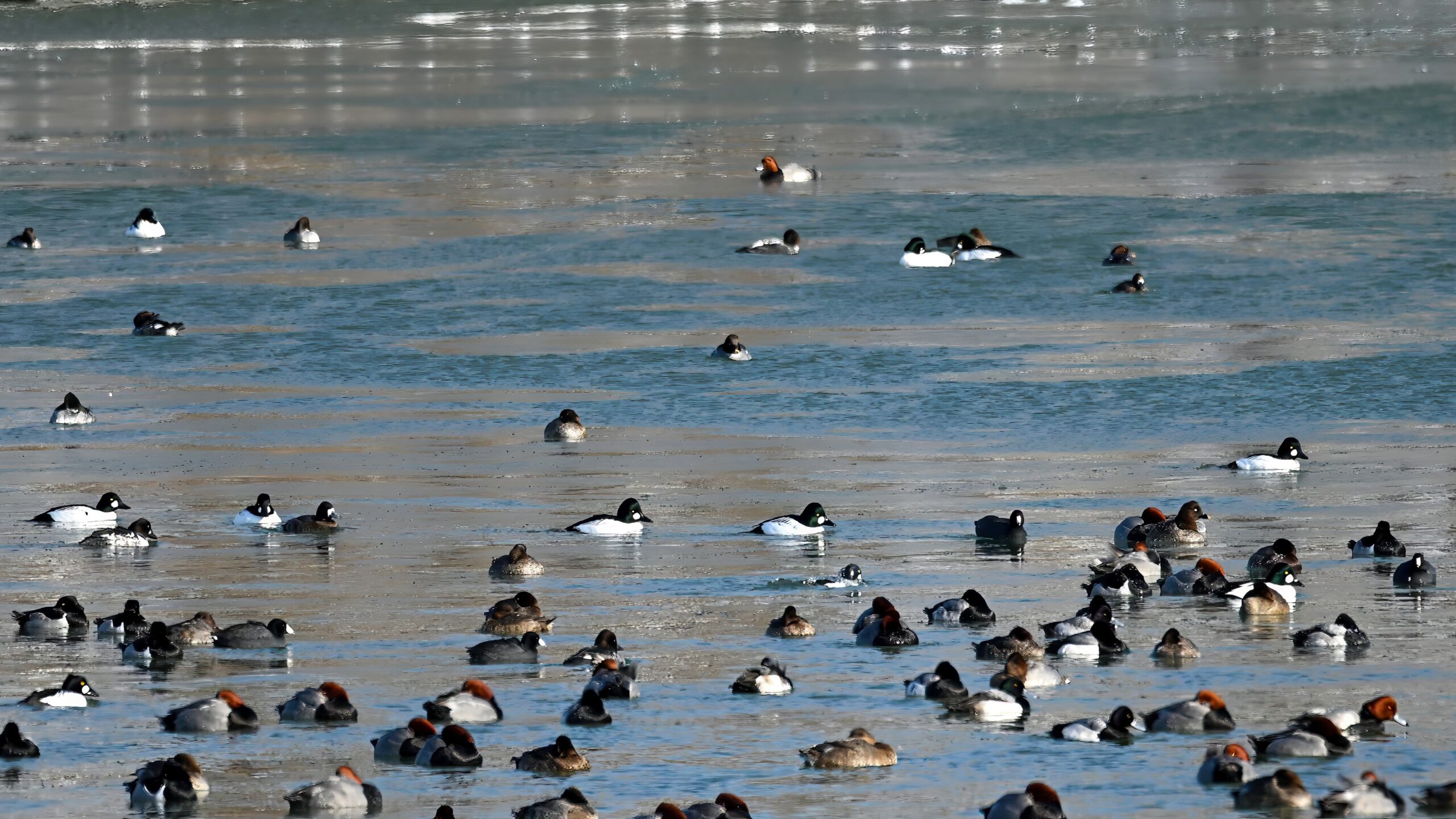
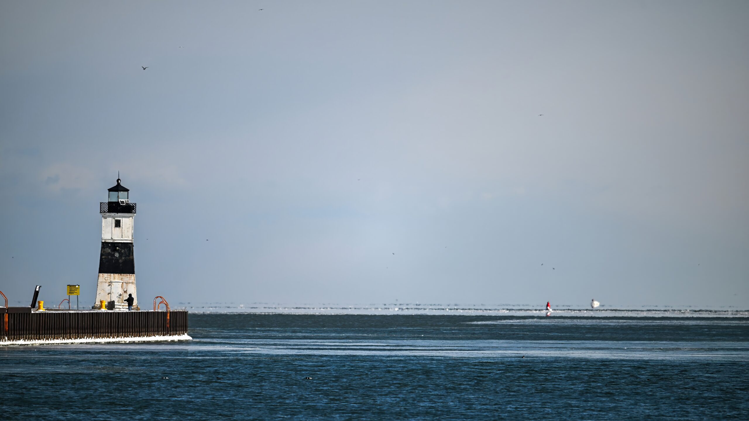
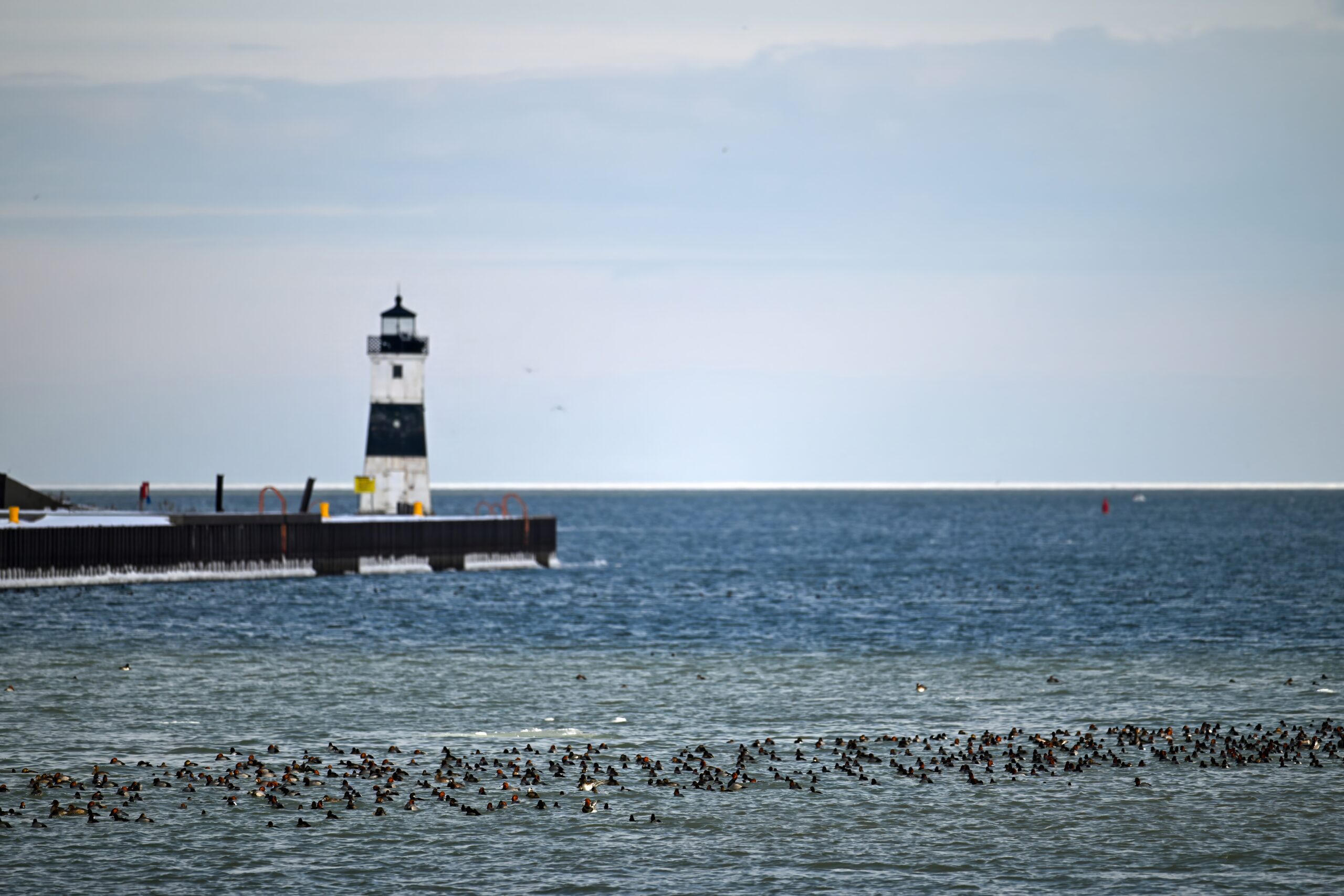
Ducks + North Pier Light
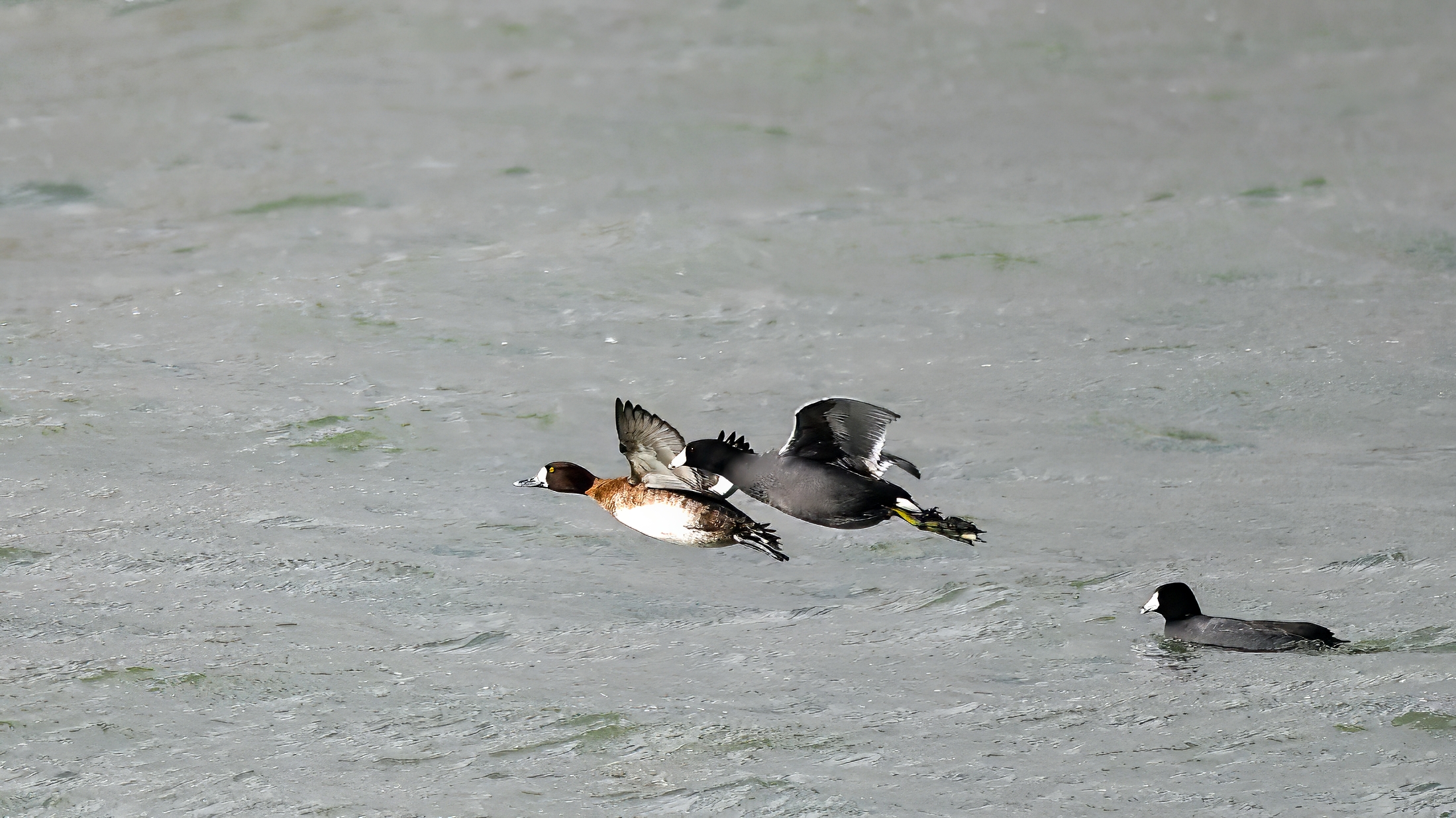
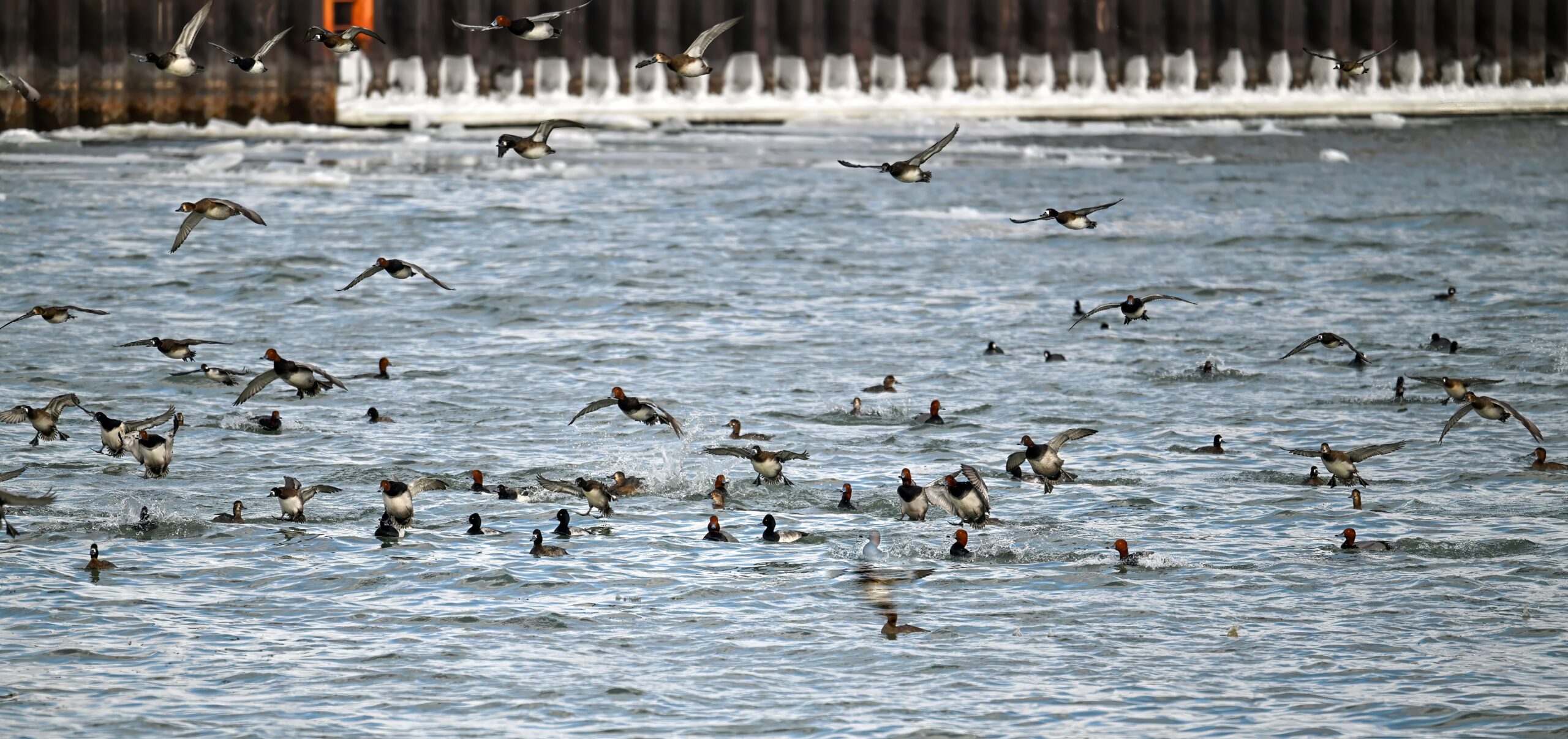
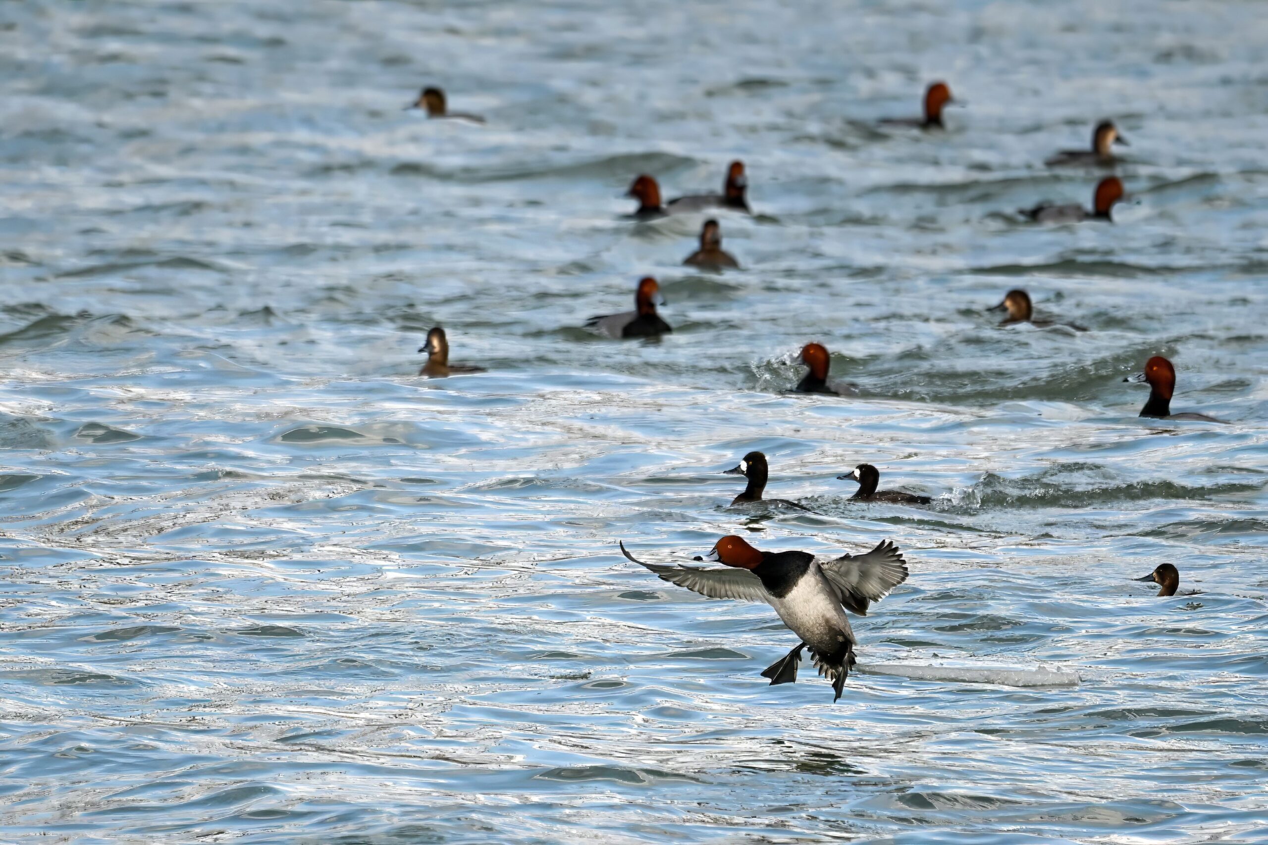
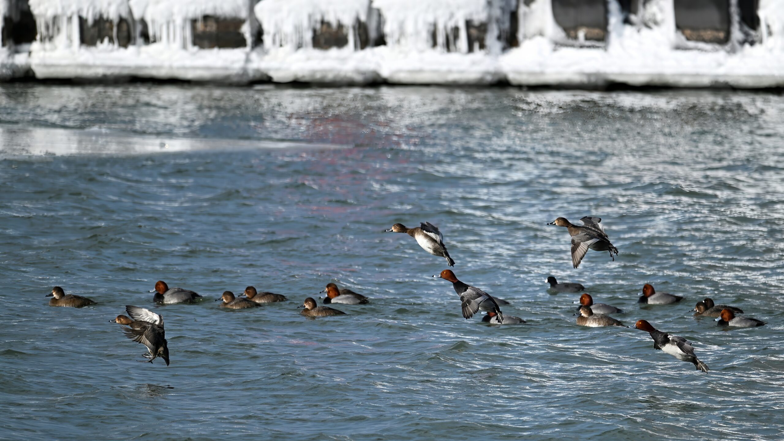
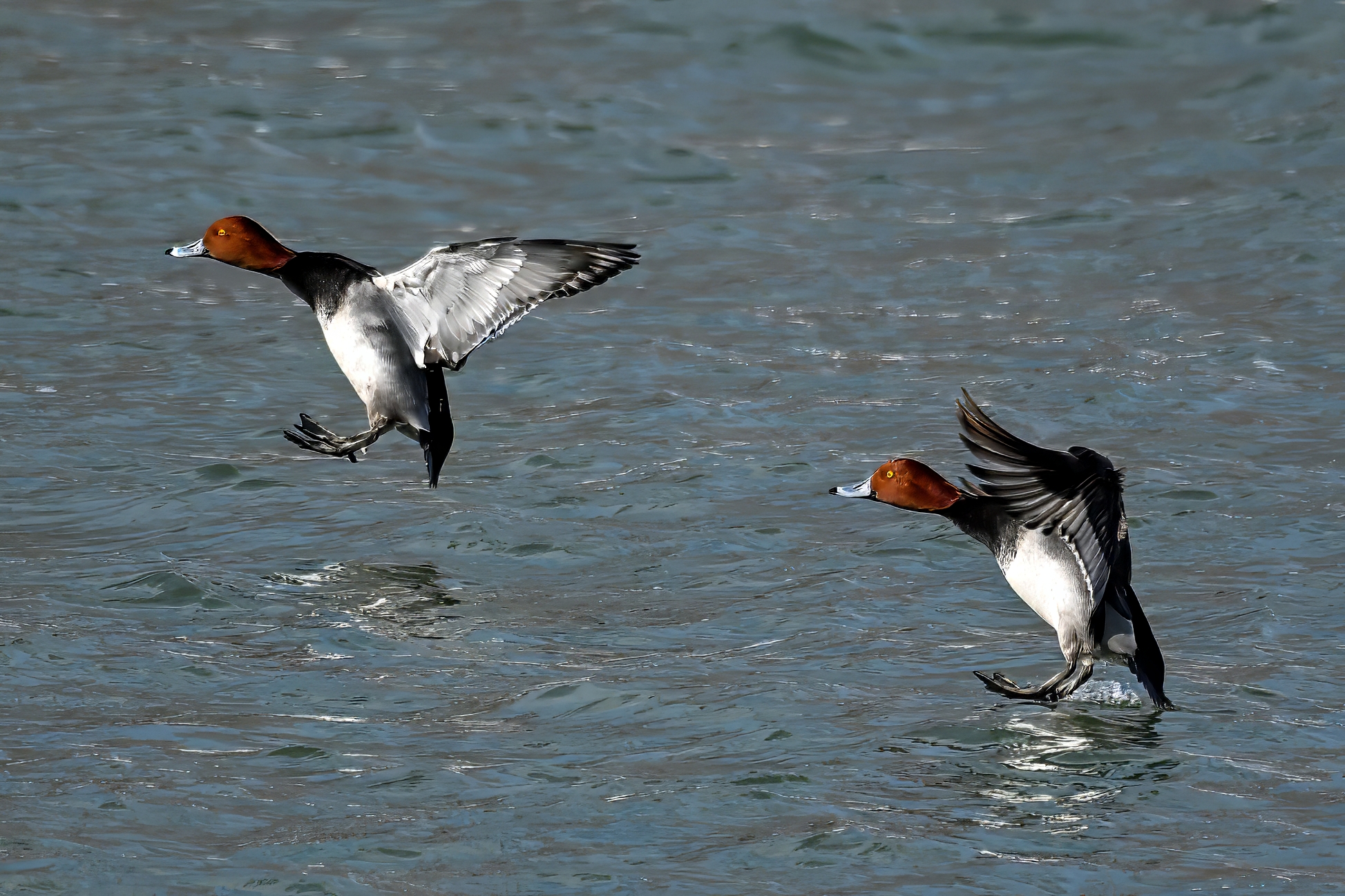
Taking a break from Gull Point coverage with ducks, and lots of ’em. There are so many things to enjoy in observing (dare we say, watching?) bird behavior – Bald Eagles dive fishing, woodpeckers pecking wood, gulls fighting over fish, hummingbirds feeding on wildflowers, etc. Surely towards the top of the list, though, is waterfowl aerobraking for landing. Never gets old, either generally observationally or, more specifically, photographically. [Editor’s note: four “-ally” for the win!] These recent shots @ South Pier:
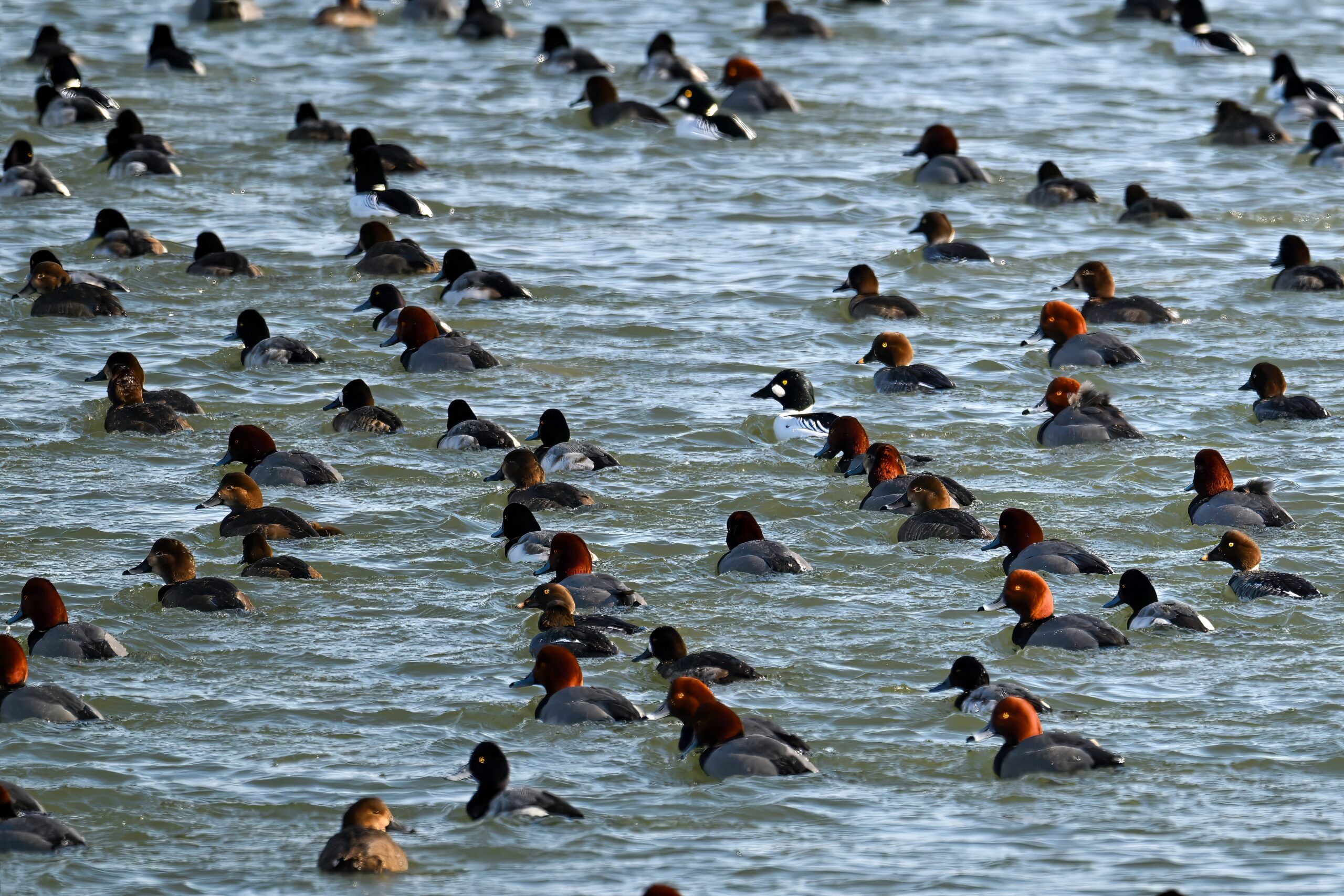
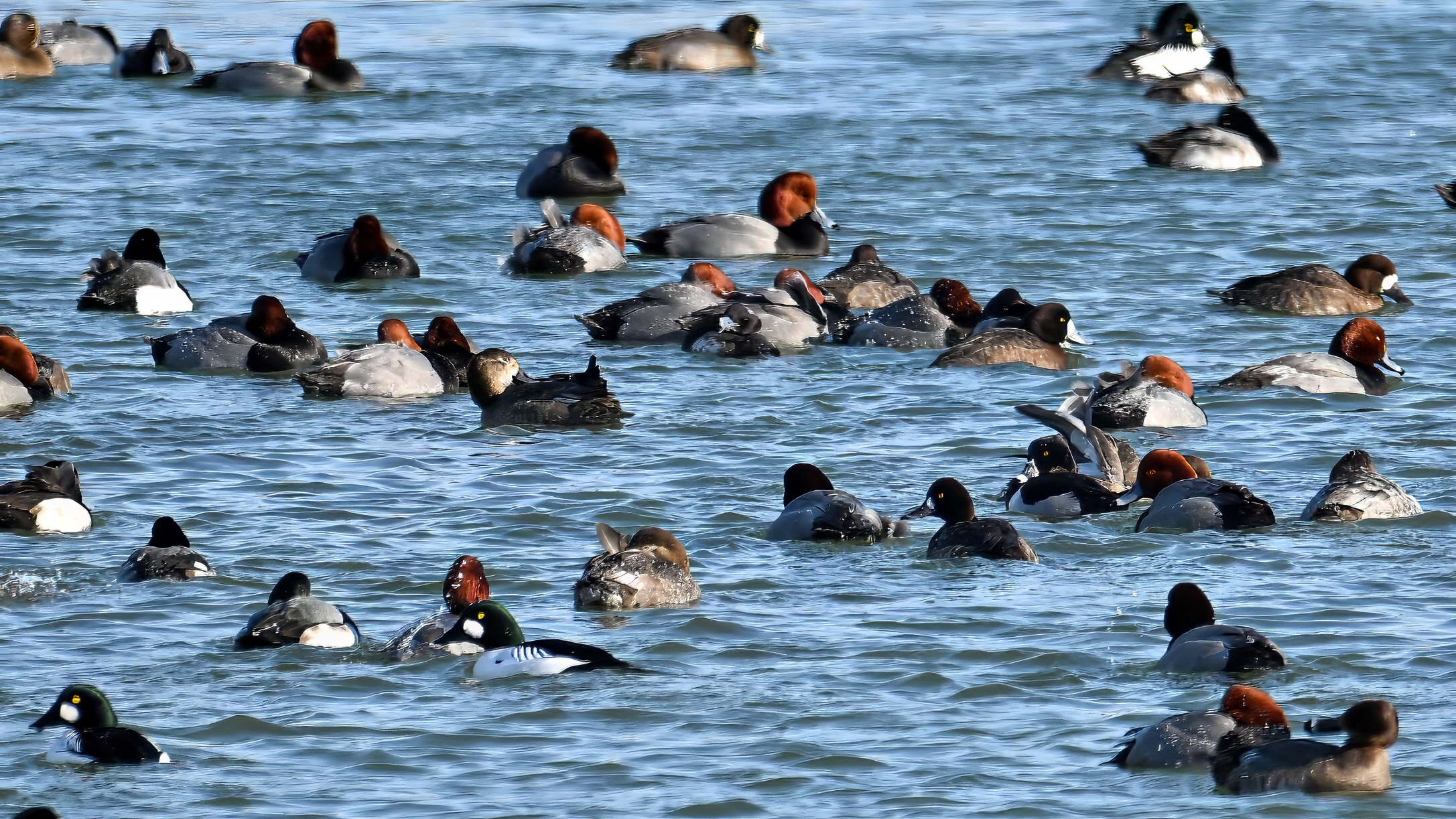
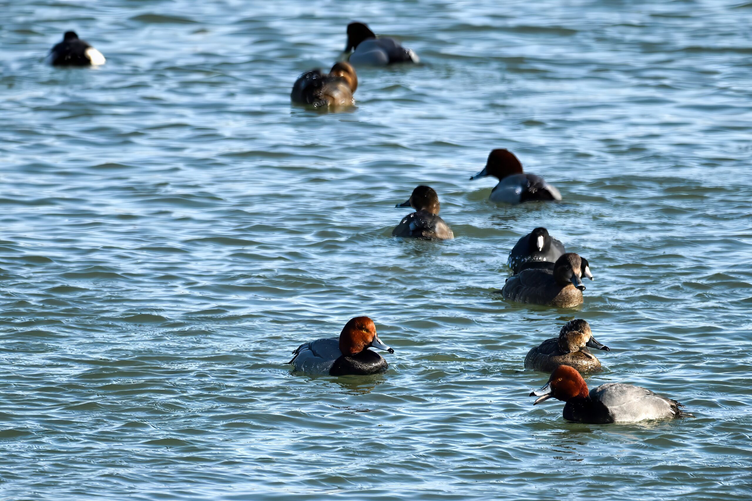
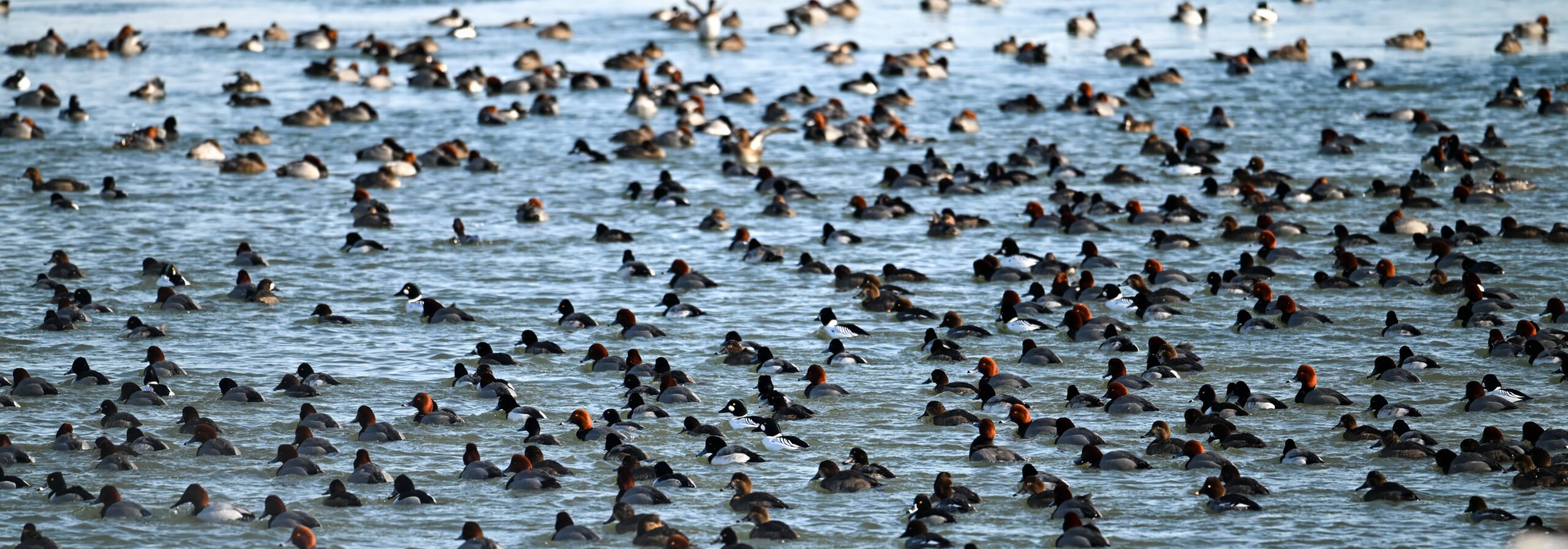
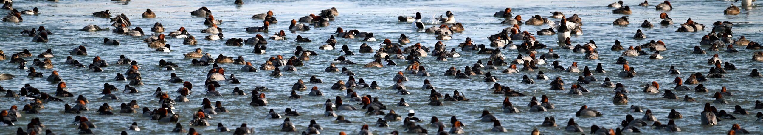
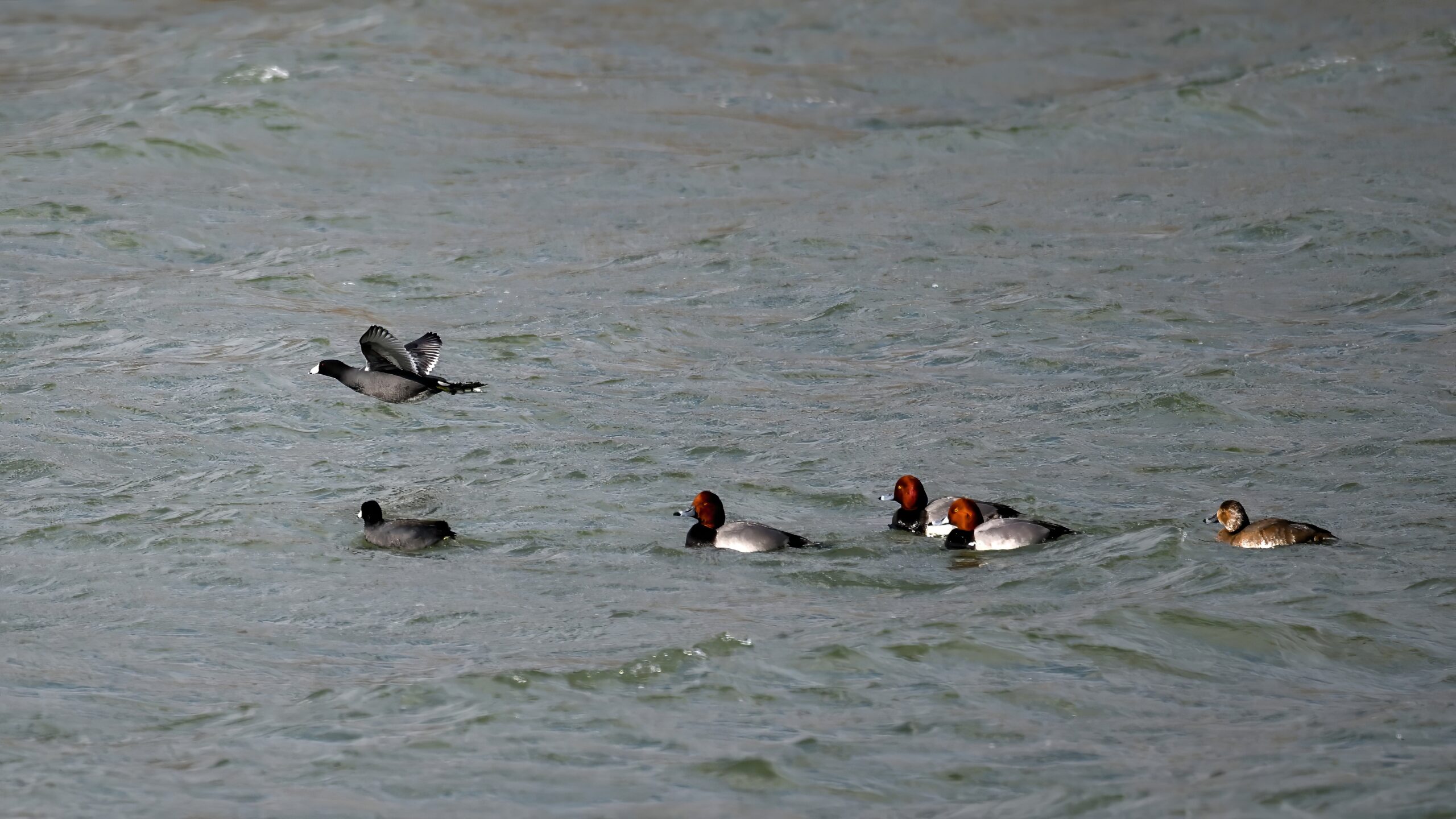
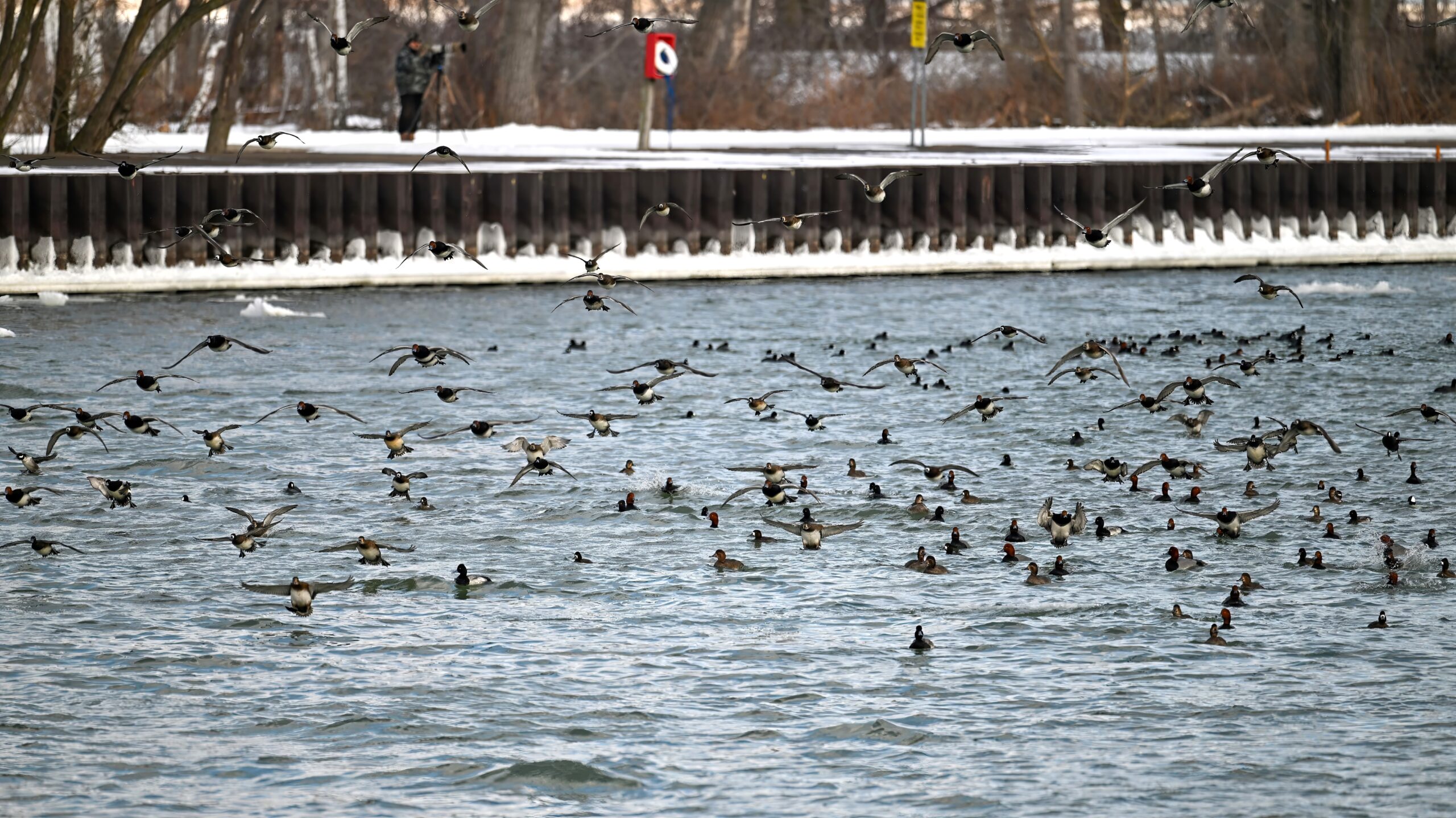
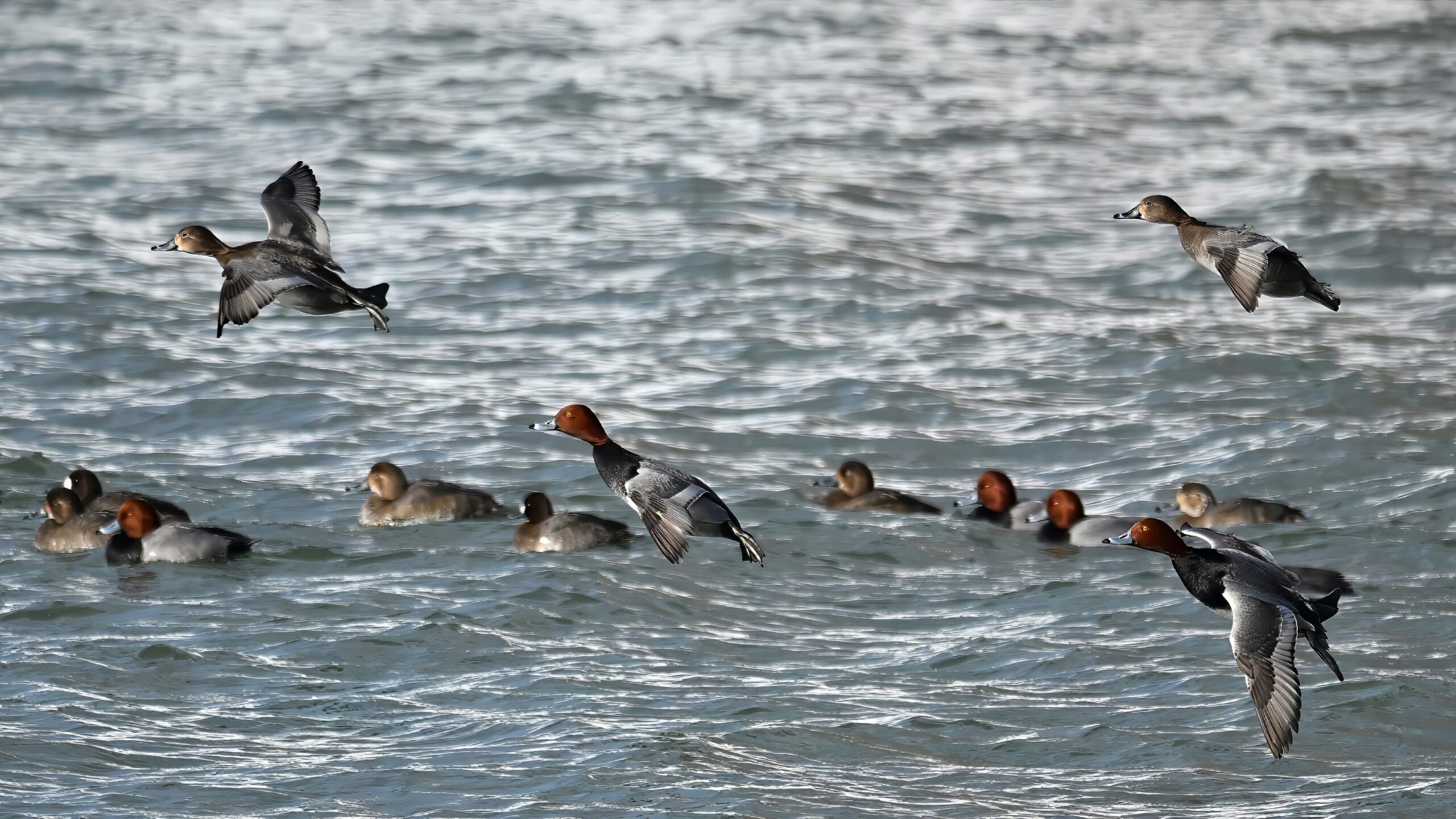
Lots of Redhead & Scaup ducks
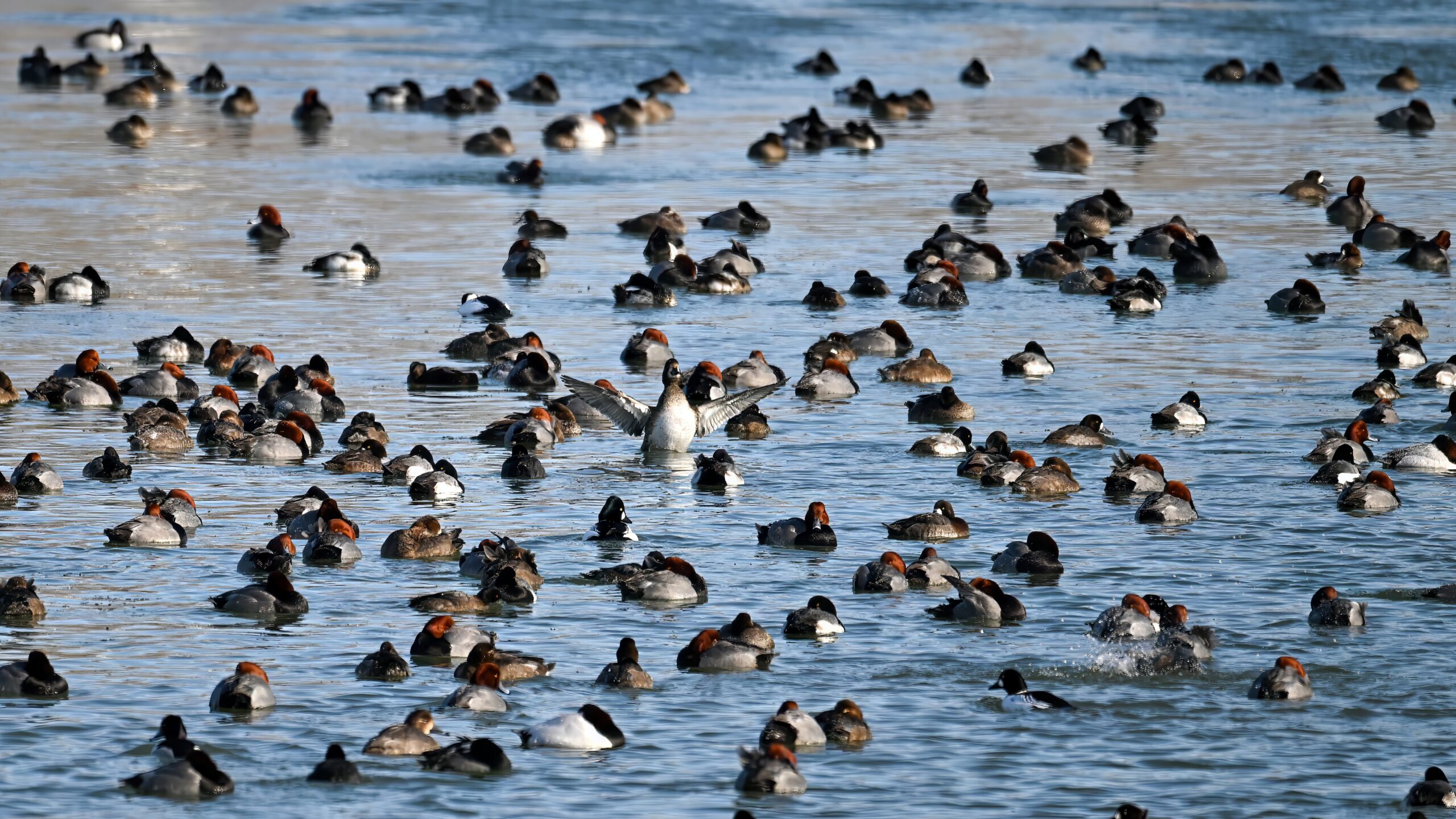
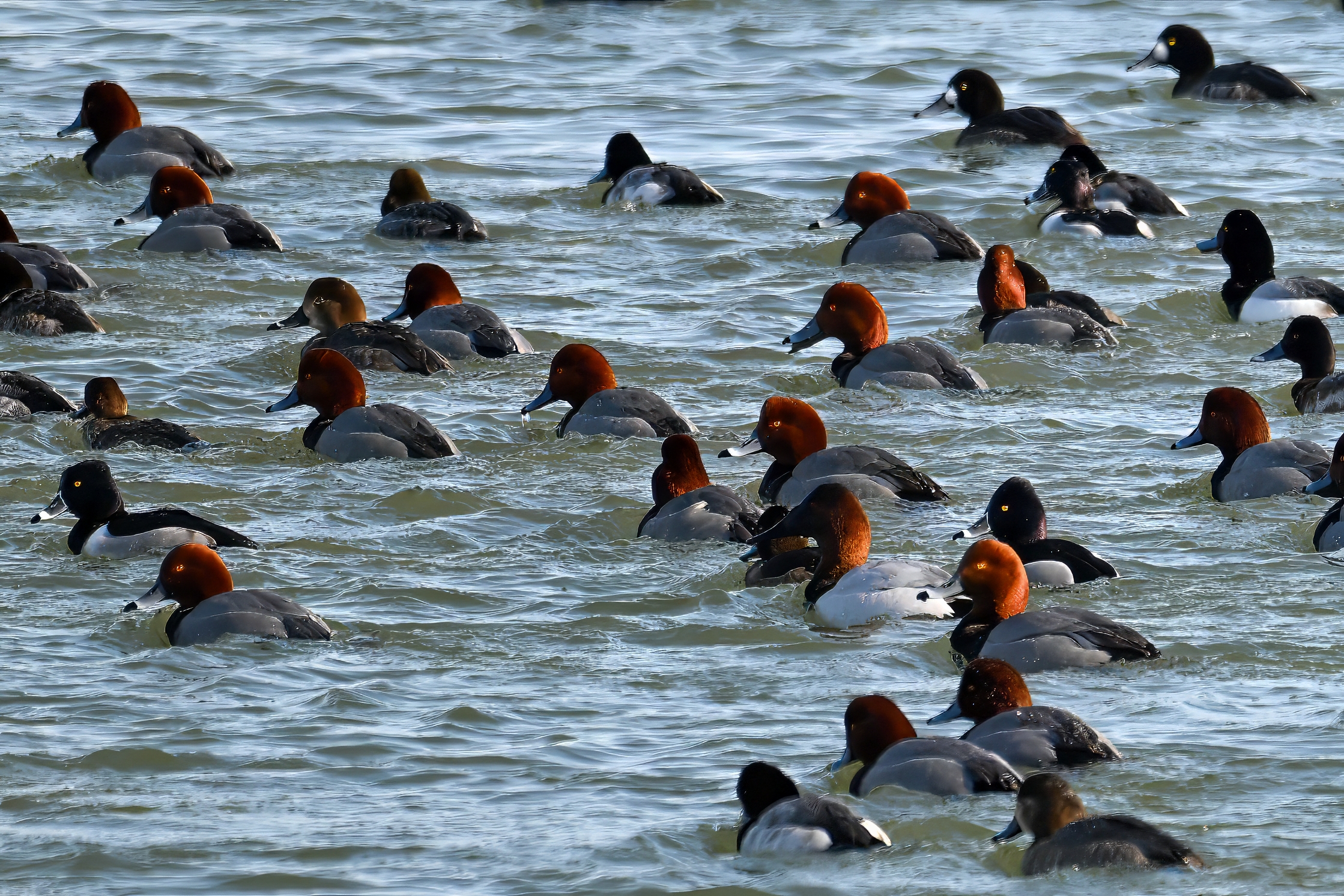
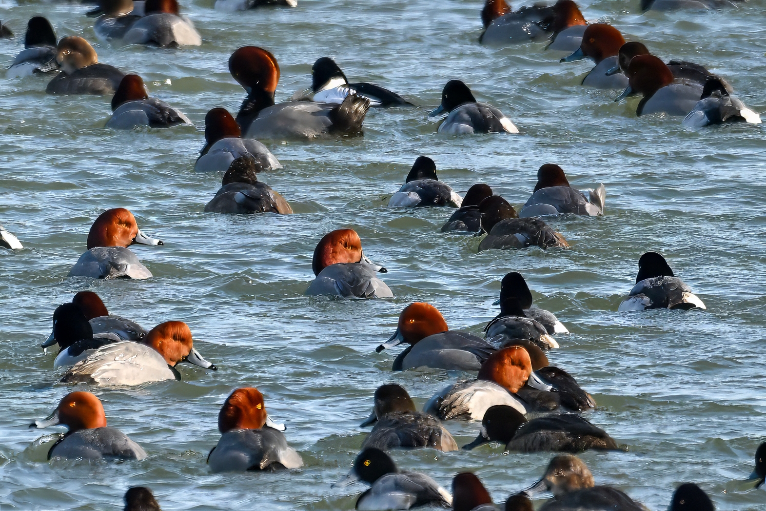
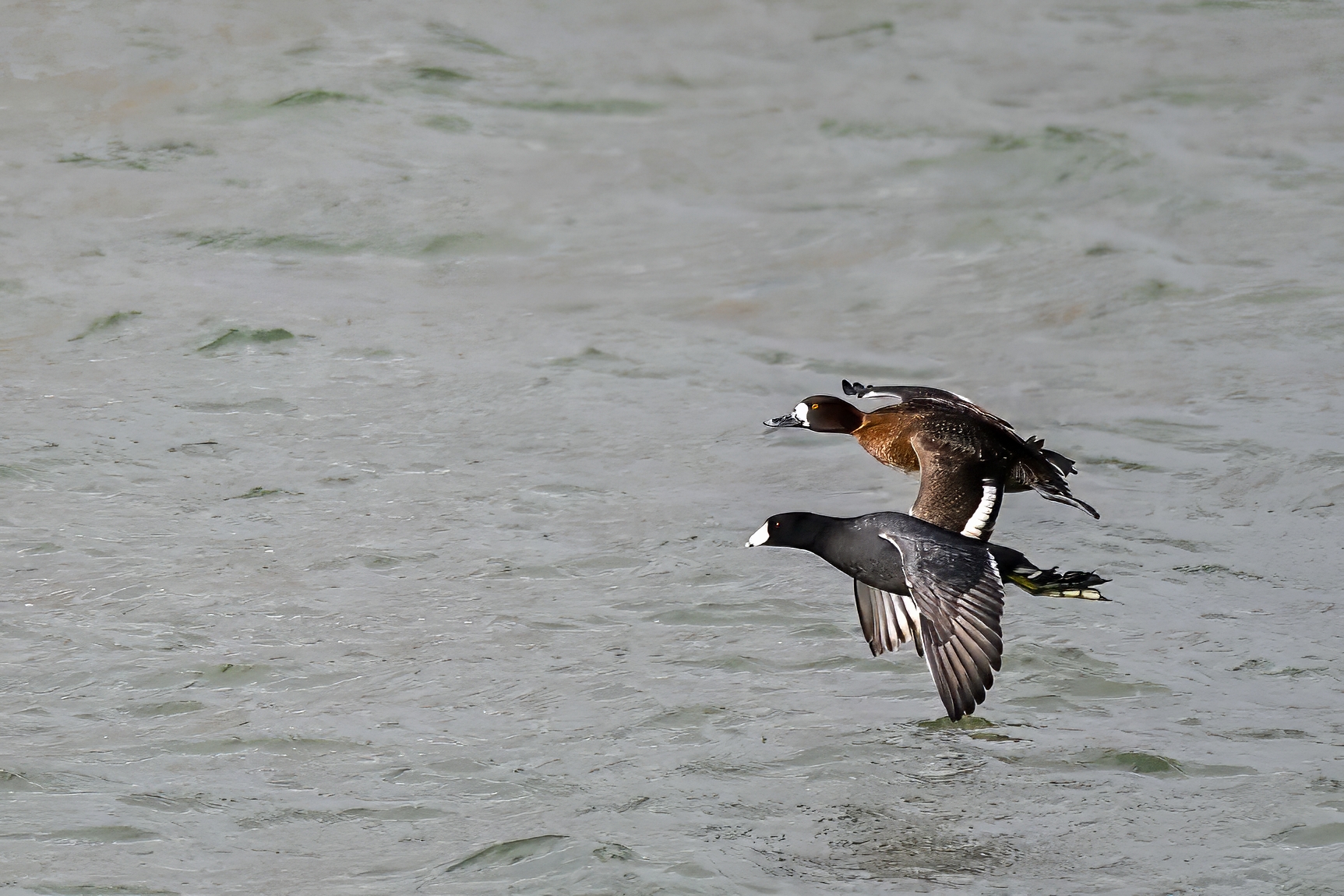
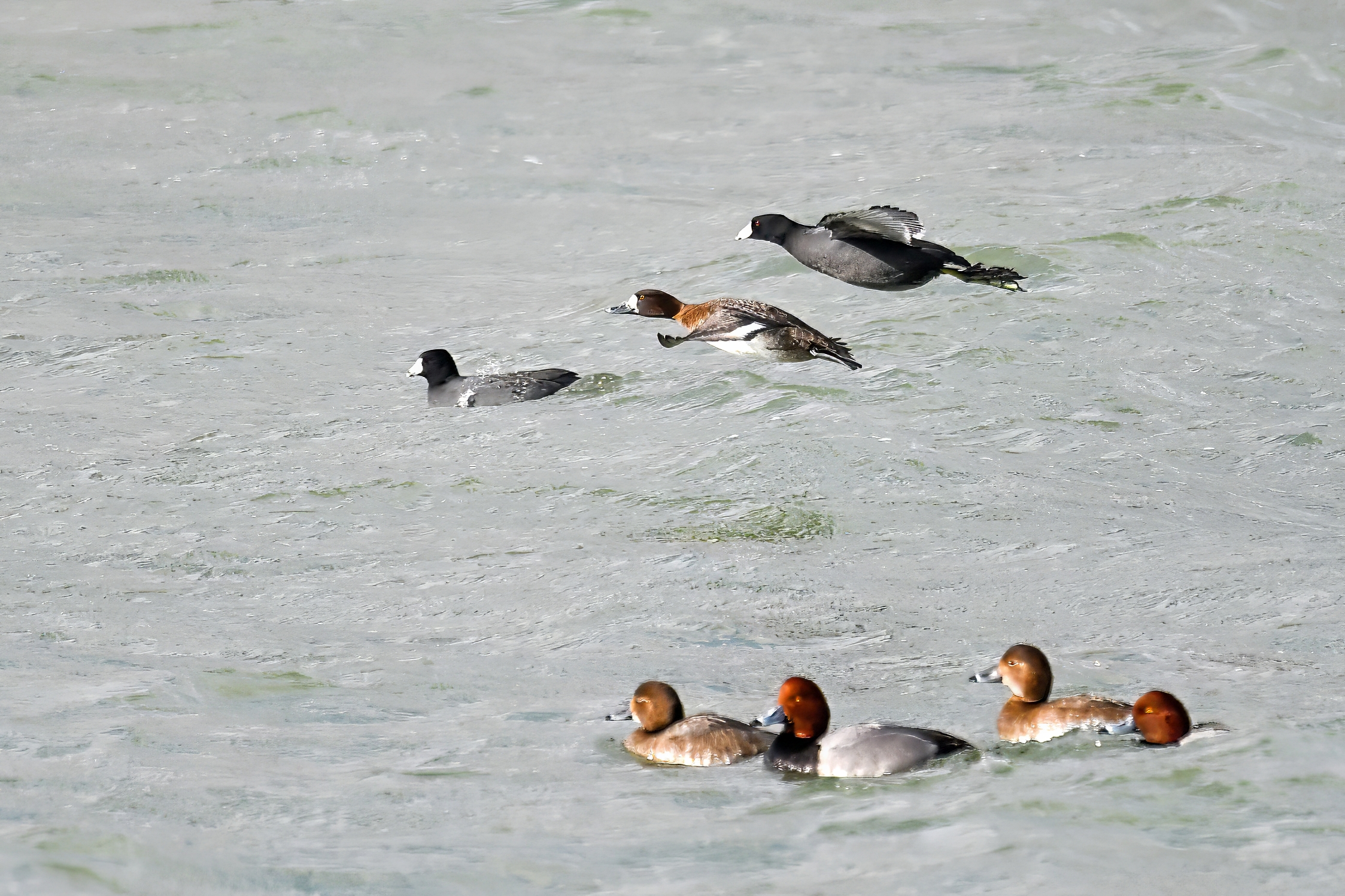
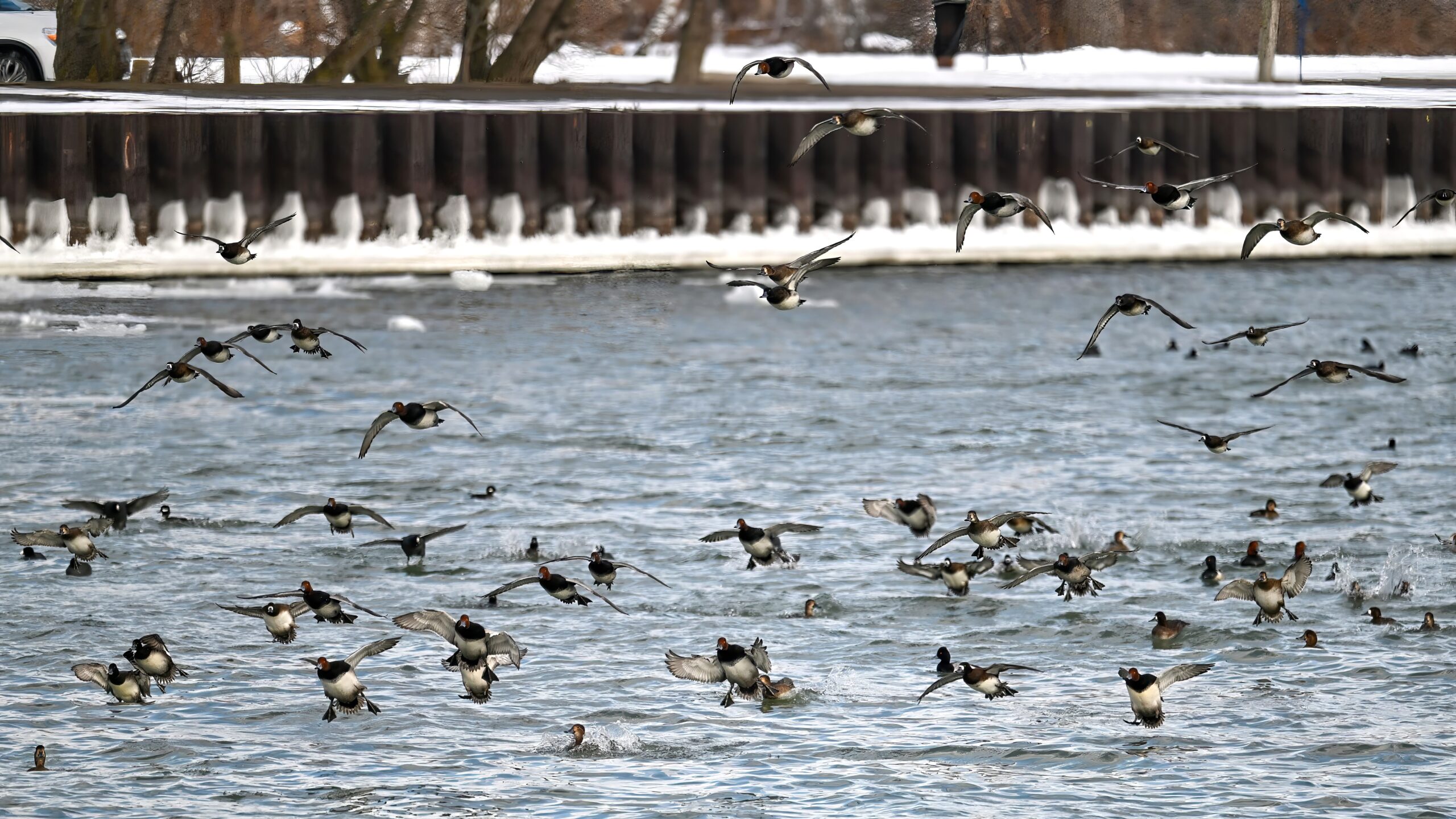
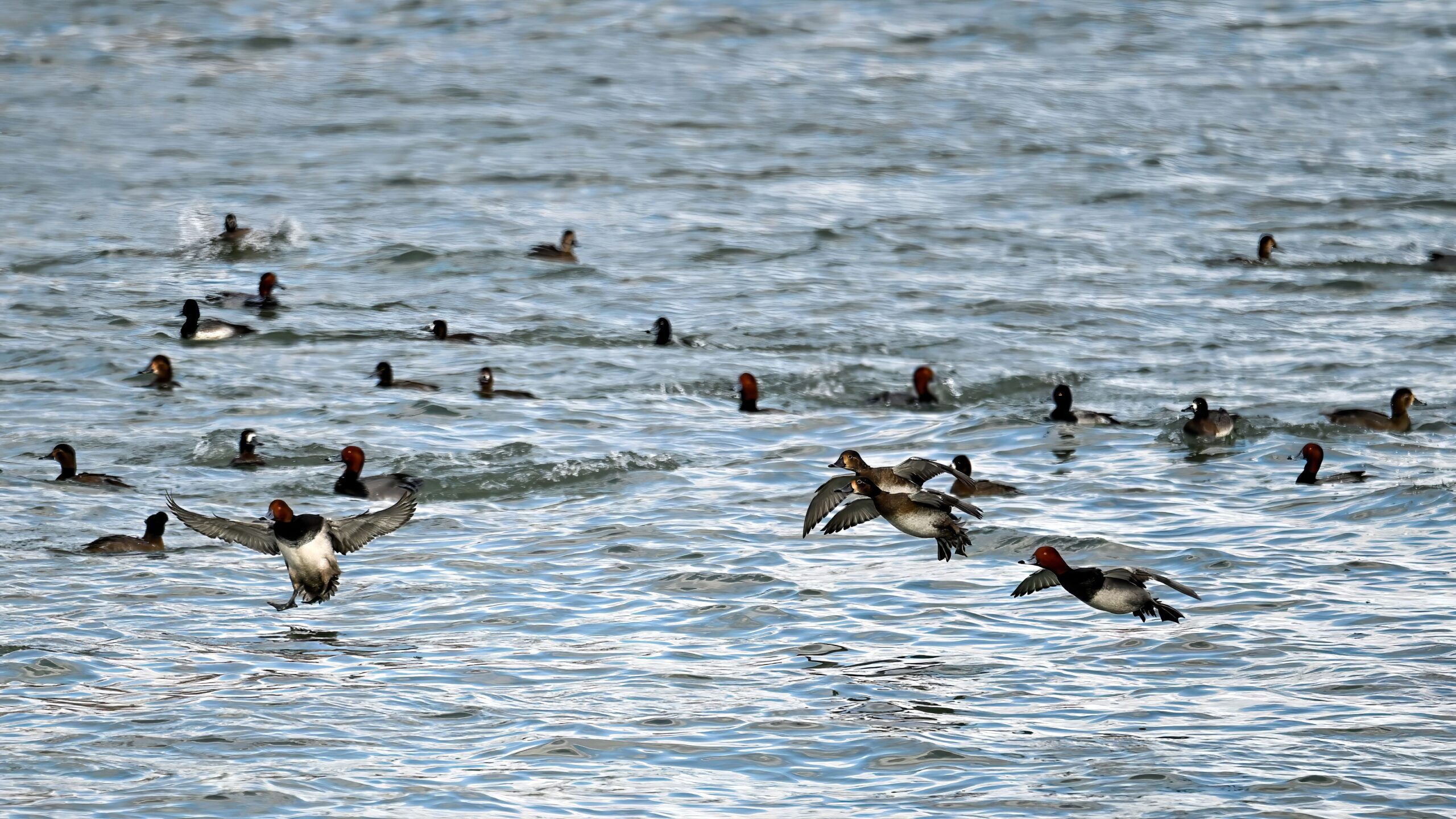
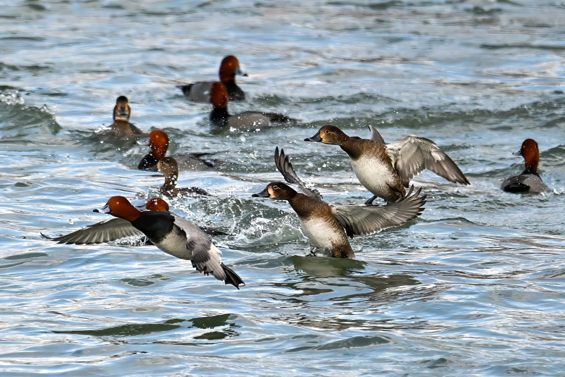
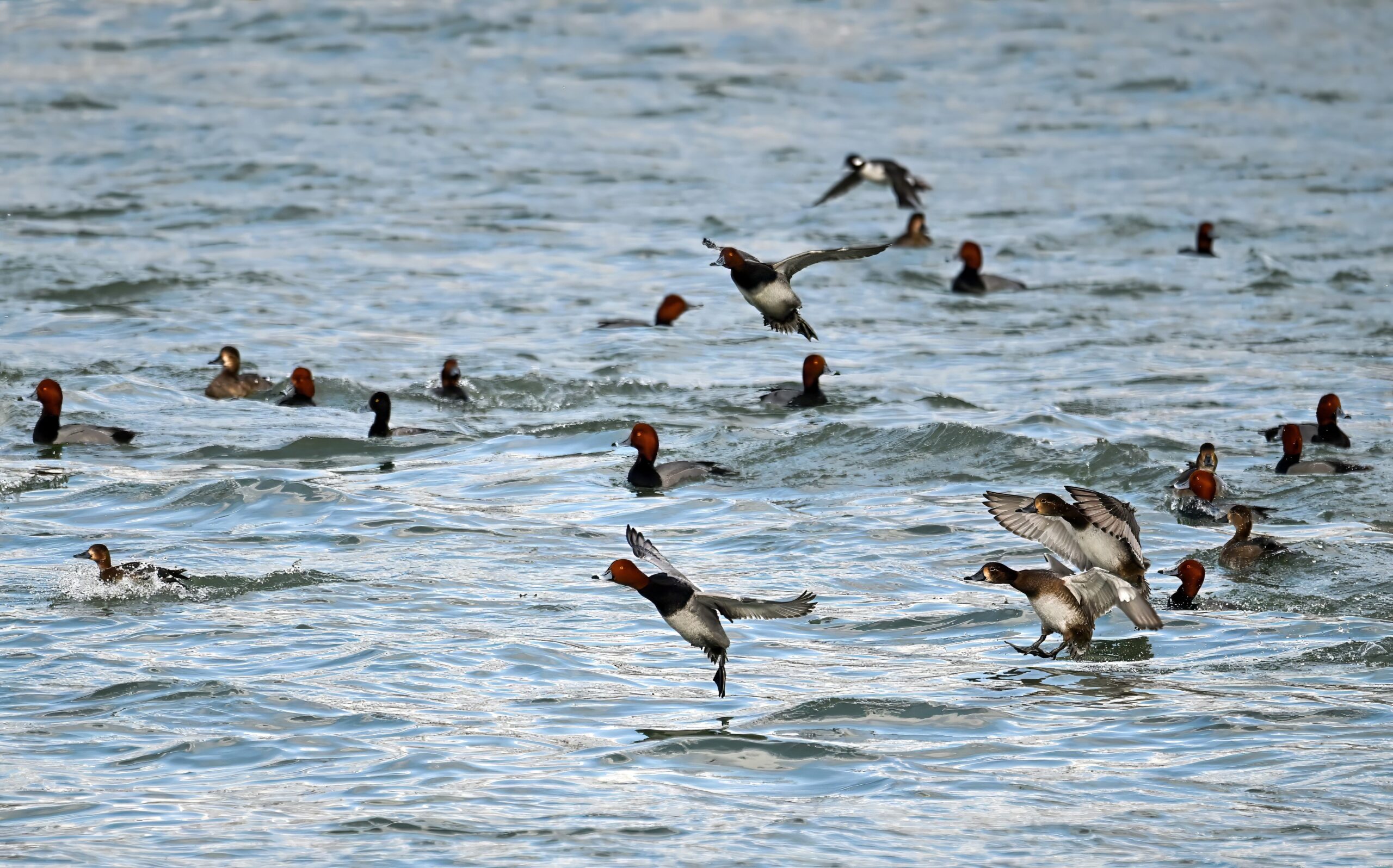
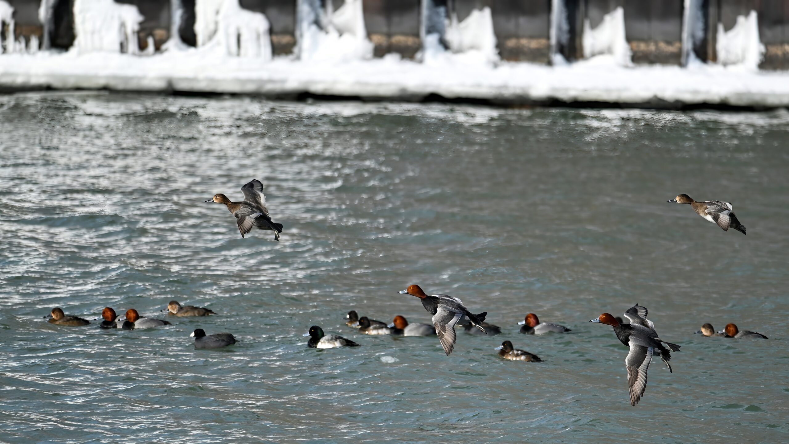
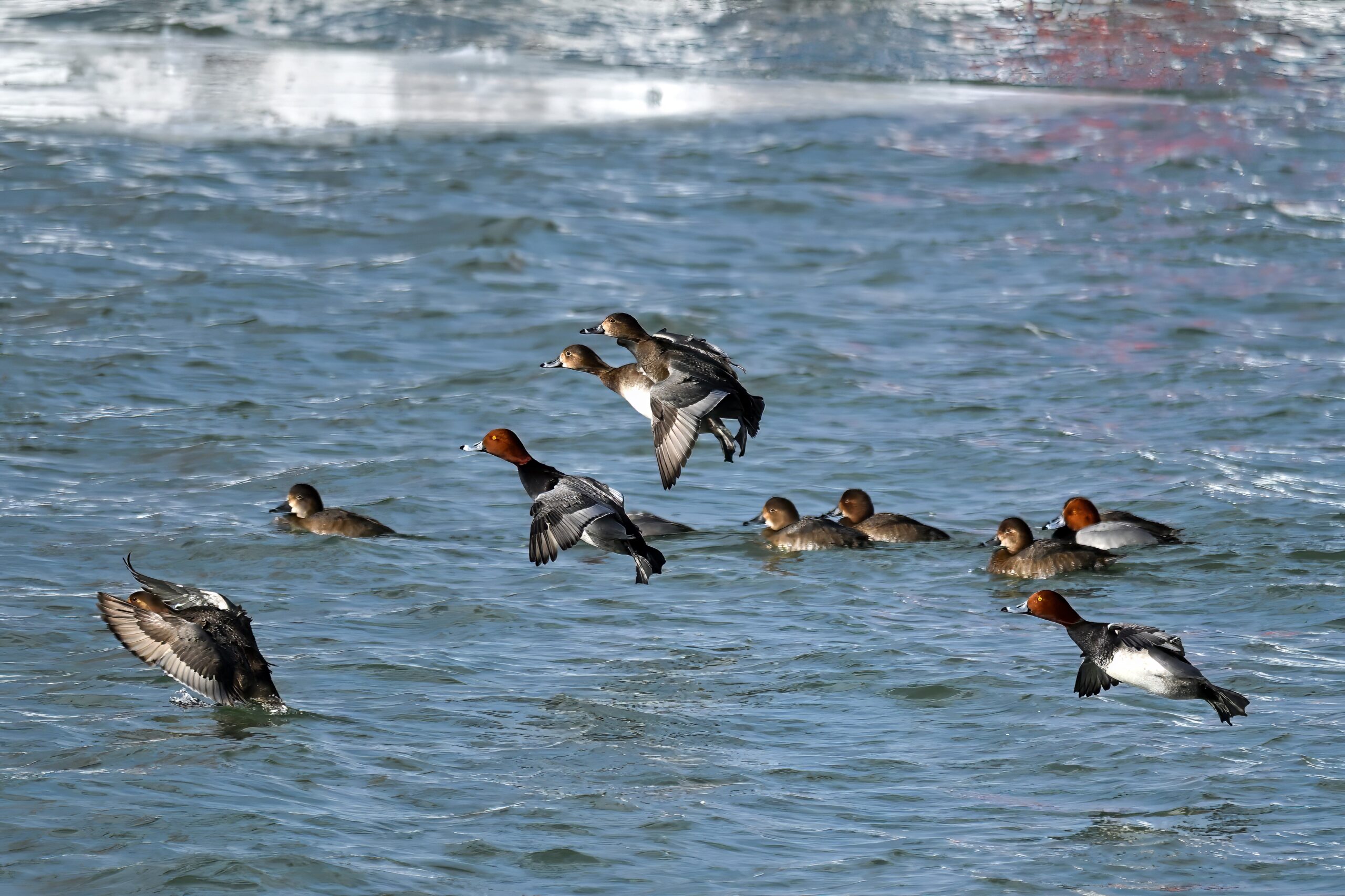
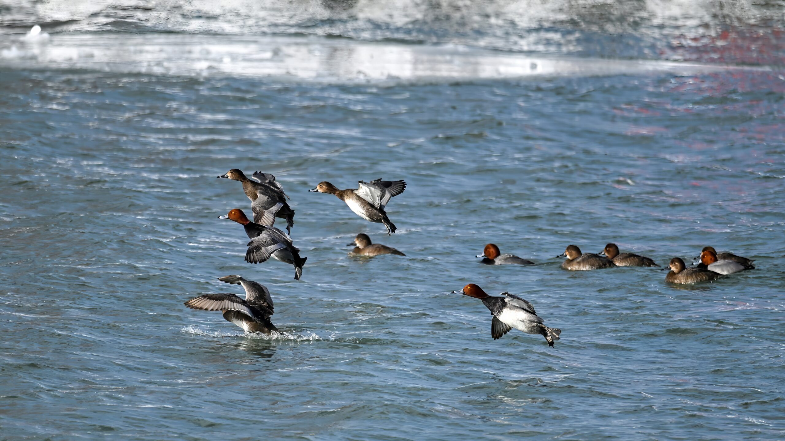
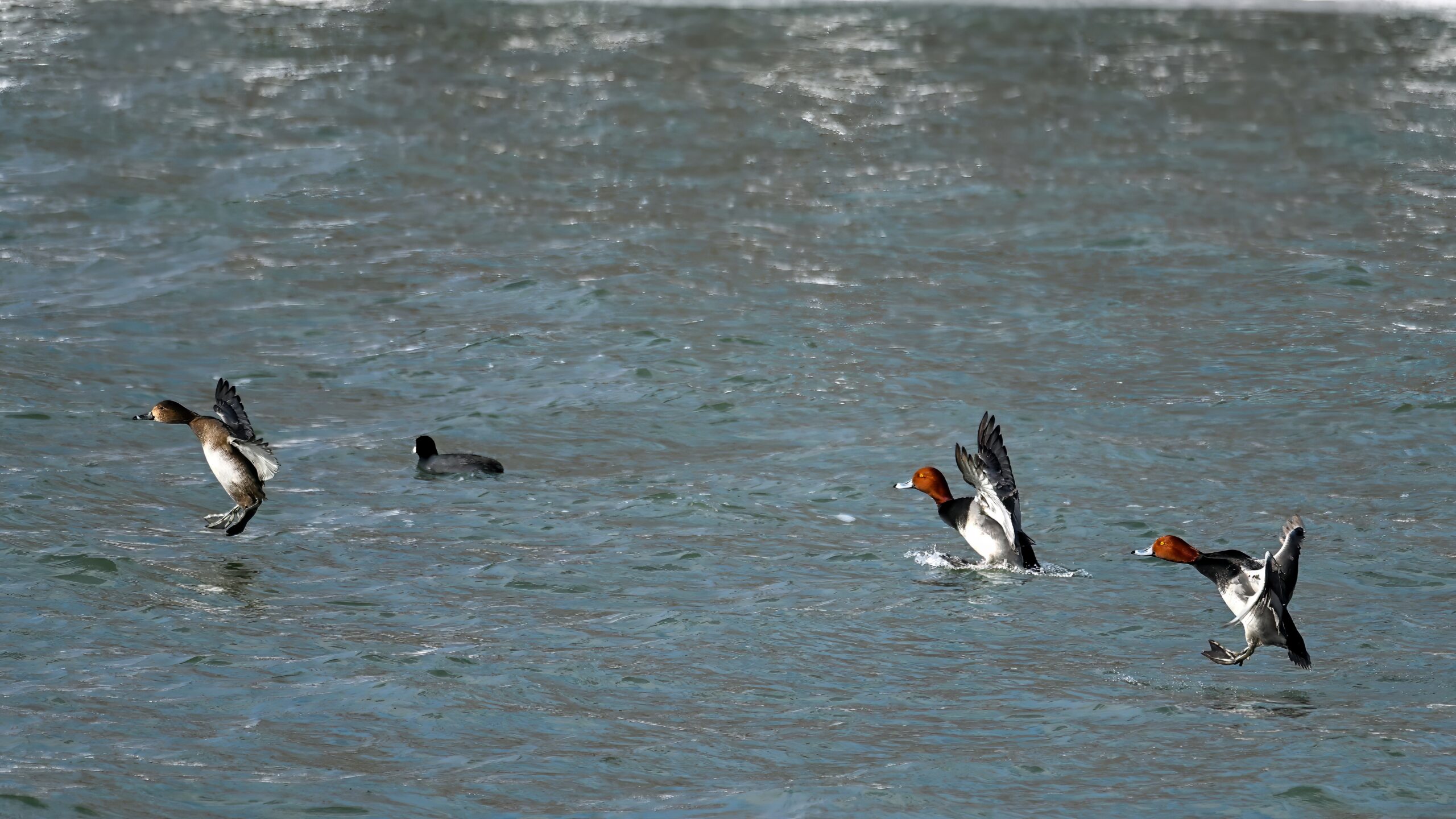
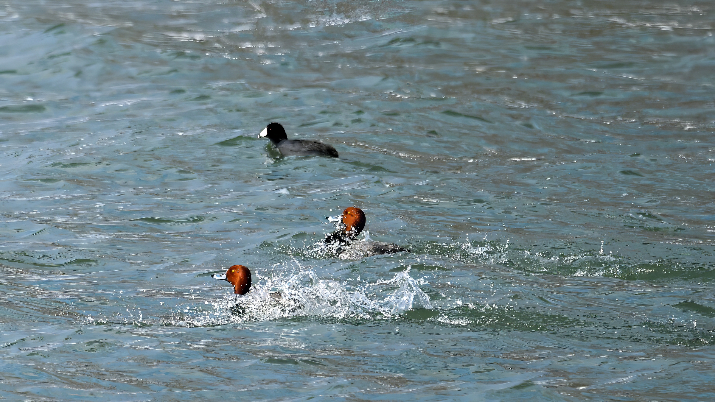
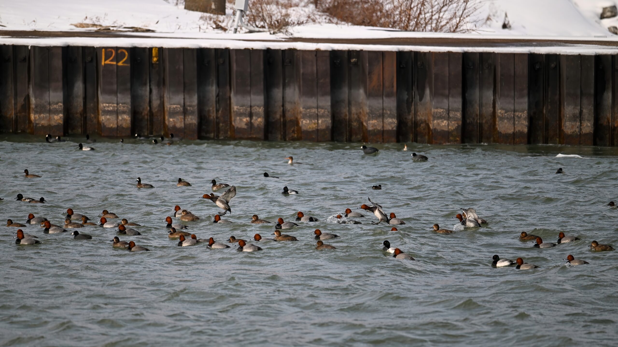
Following is mostly a mix of Redhead & Lesser Scaup ducks w/ some American Coots in the water, maybe a Ring-necked Duck or two:
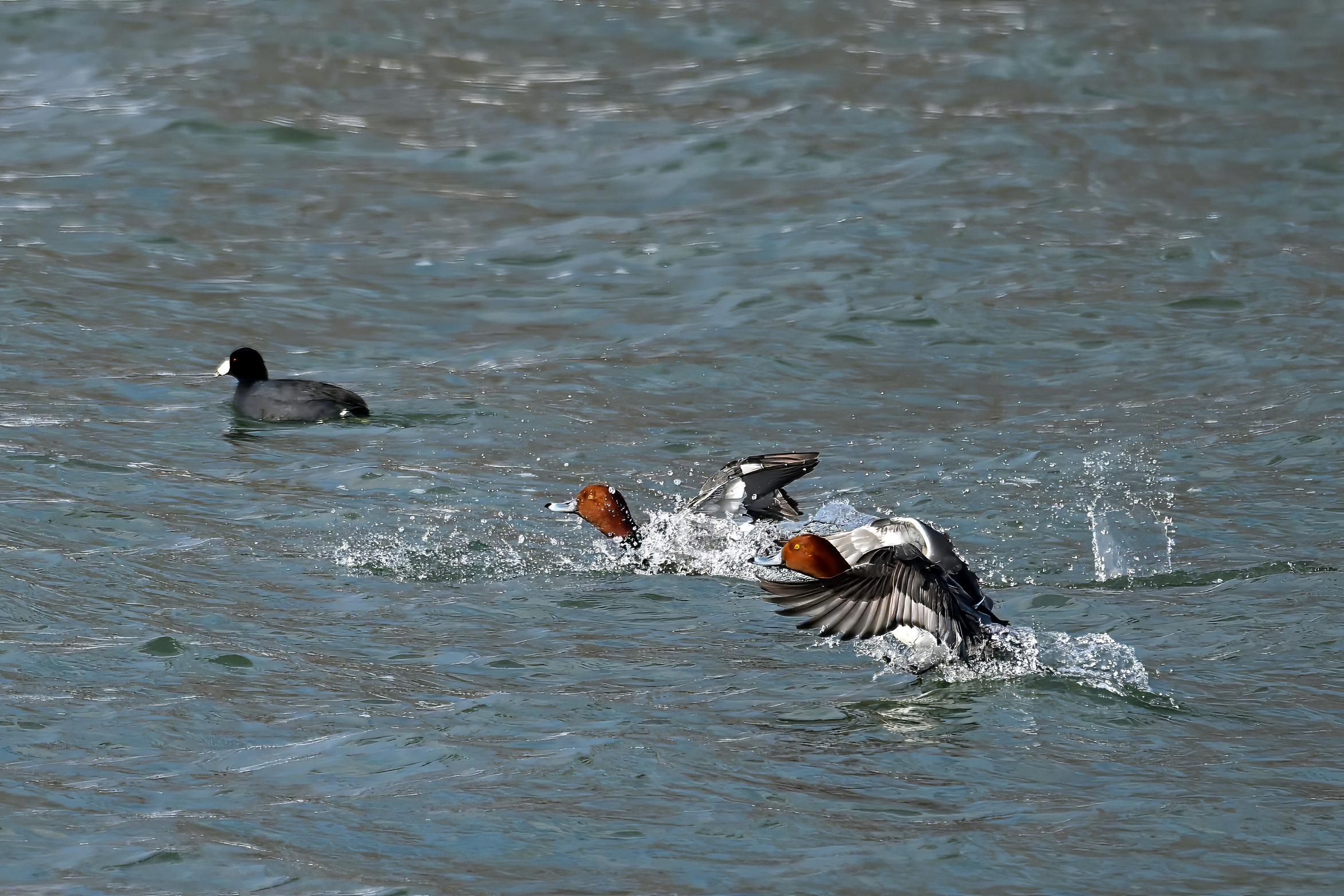
ID note – in following shot, male Redhead lower left, two ducks to the right of it = female Redheads:
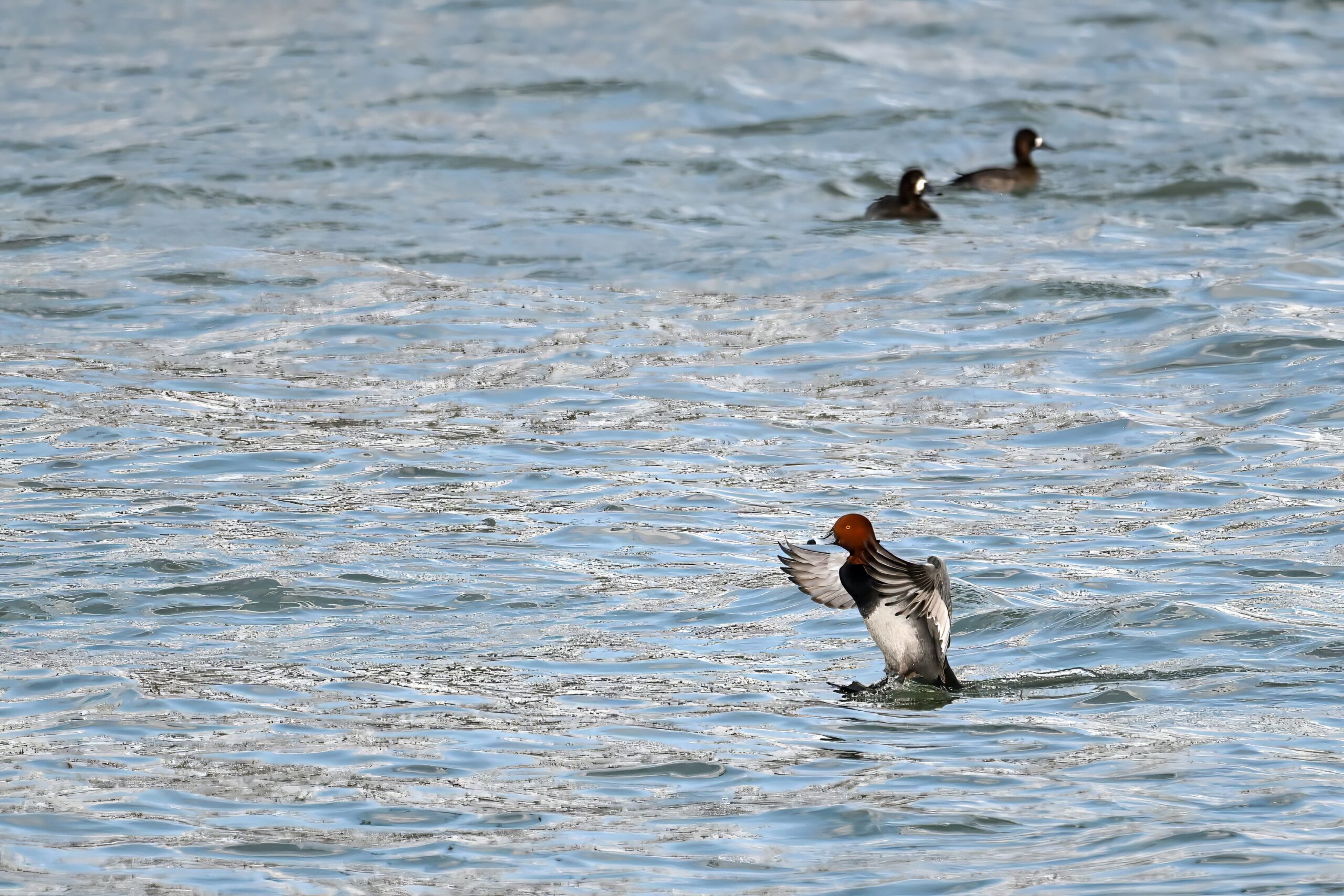
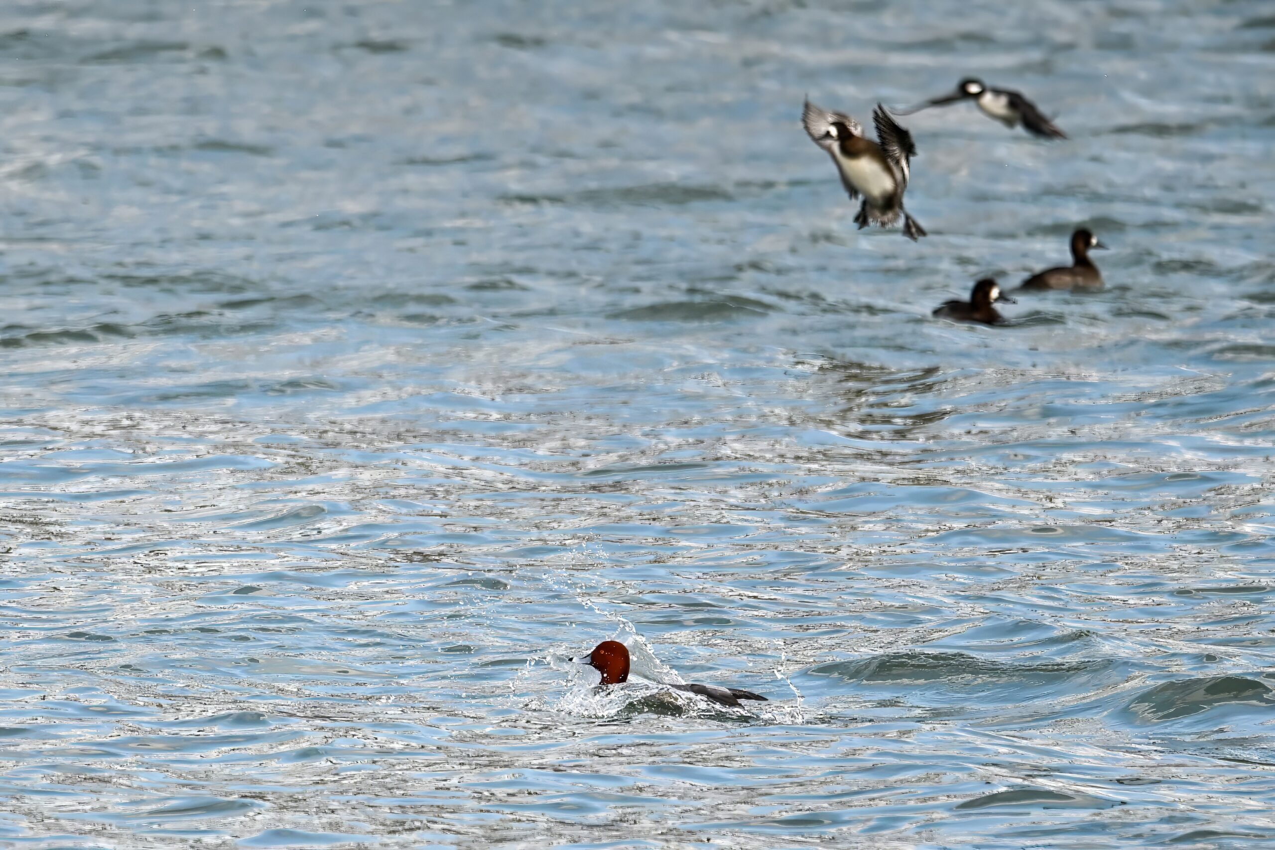
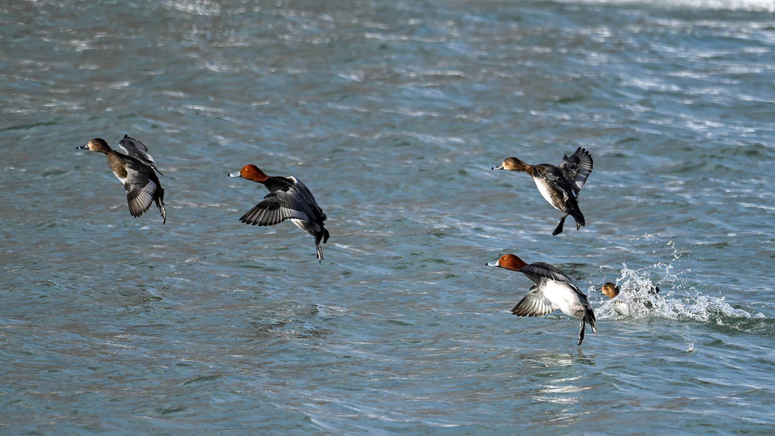
Nice sequence of Redheads landing in the channel between North Pier (background) & South Pier:
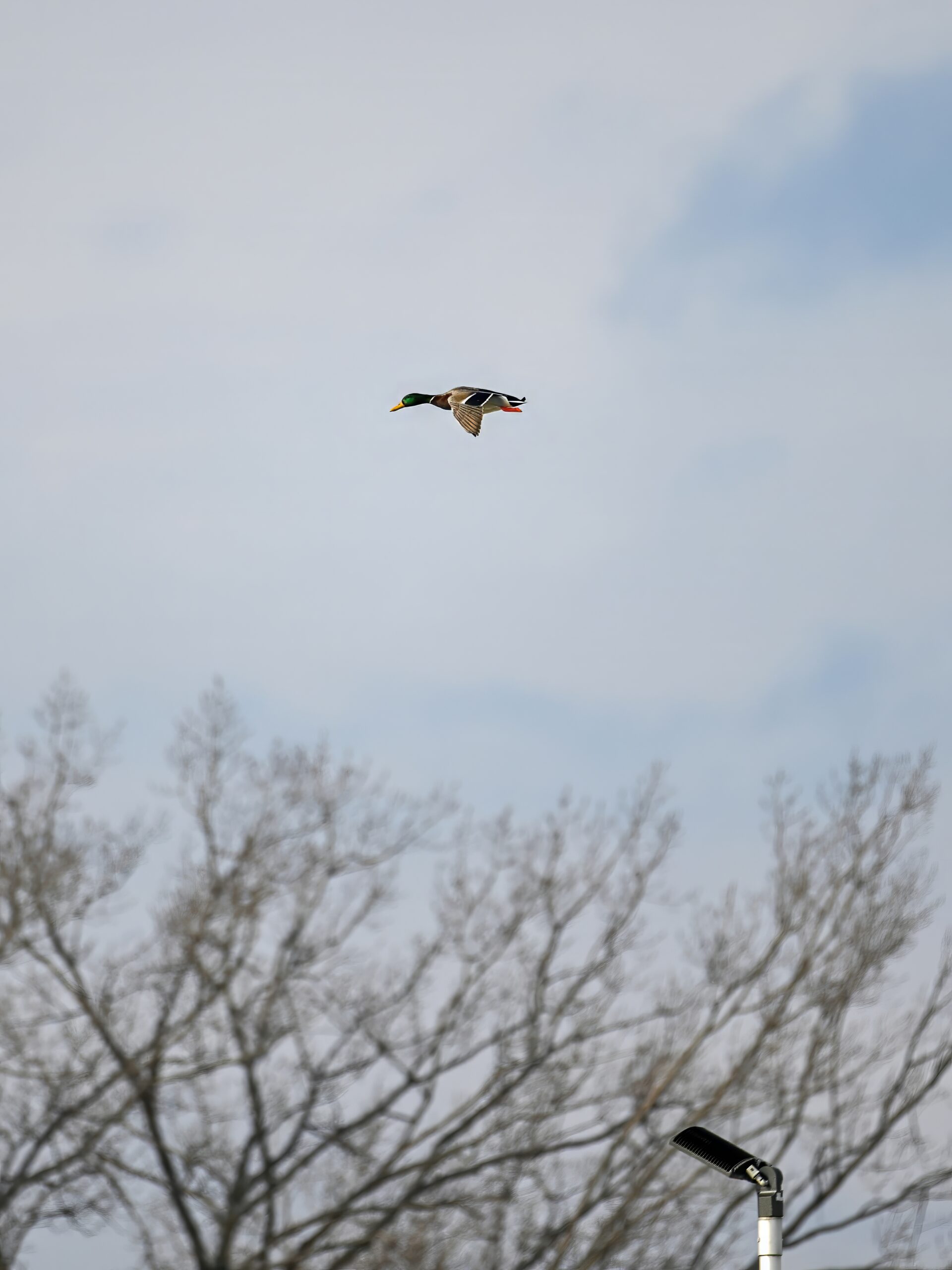
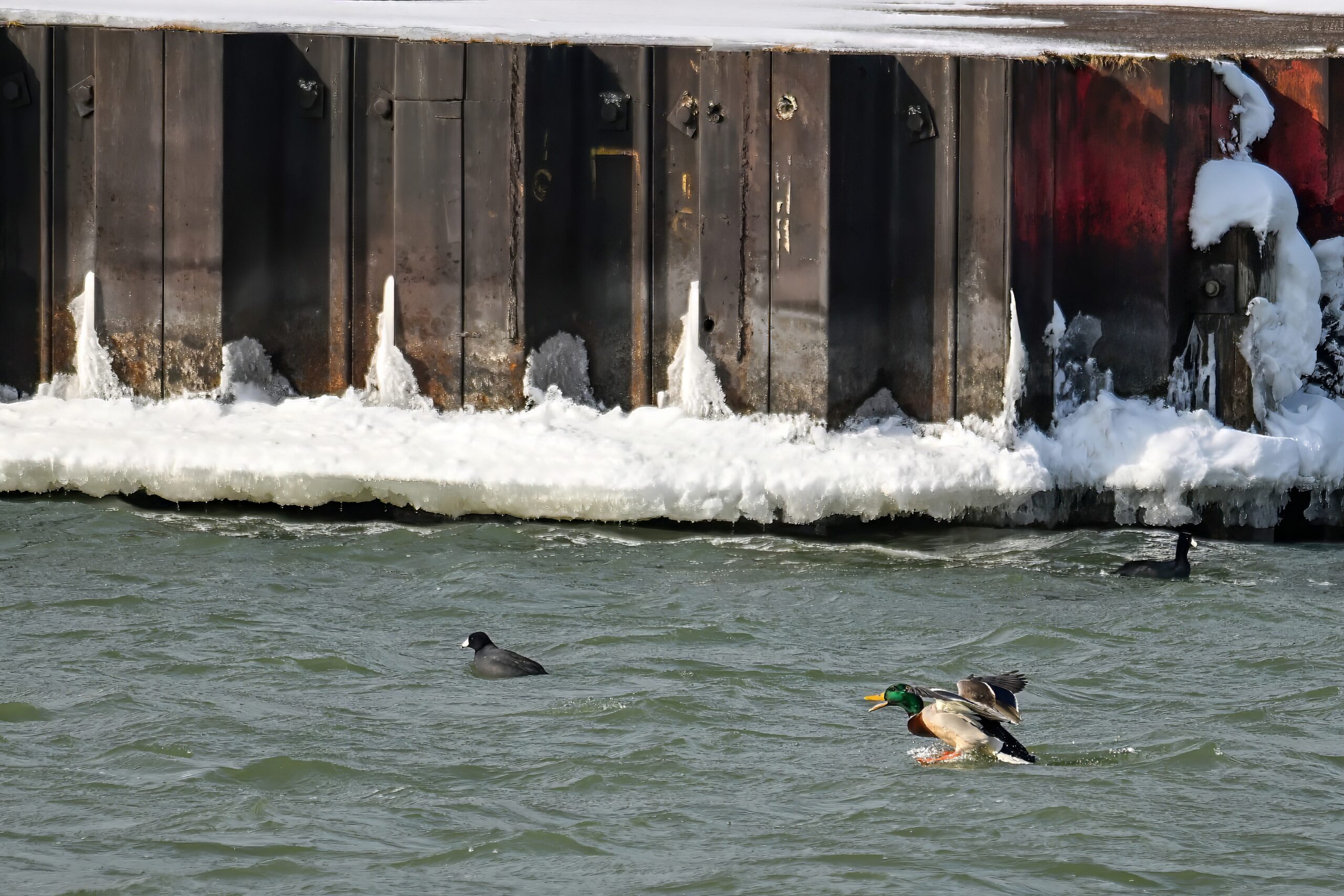
Male Mallard coming in for a steep landing @ Coast Guard Station:
Quack!Mixed ducks
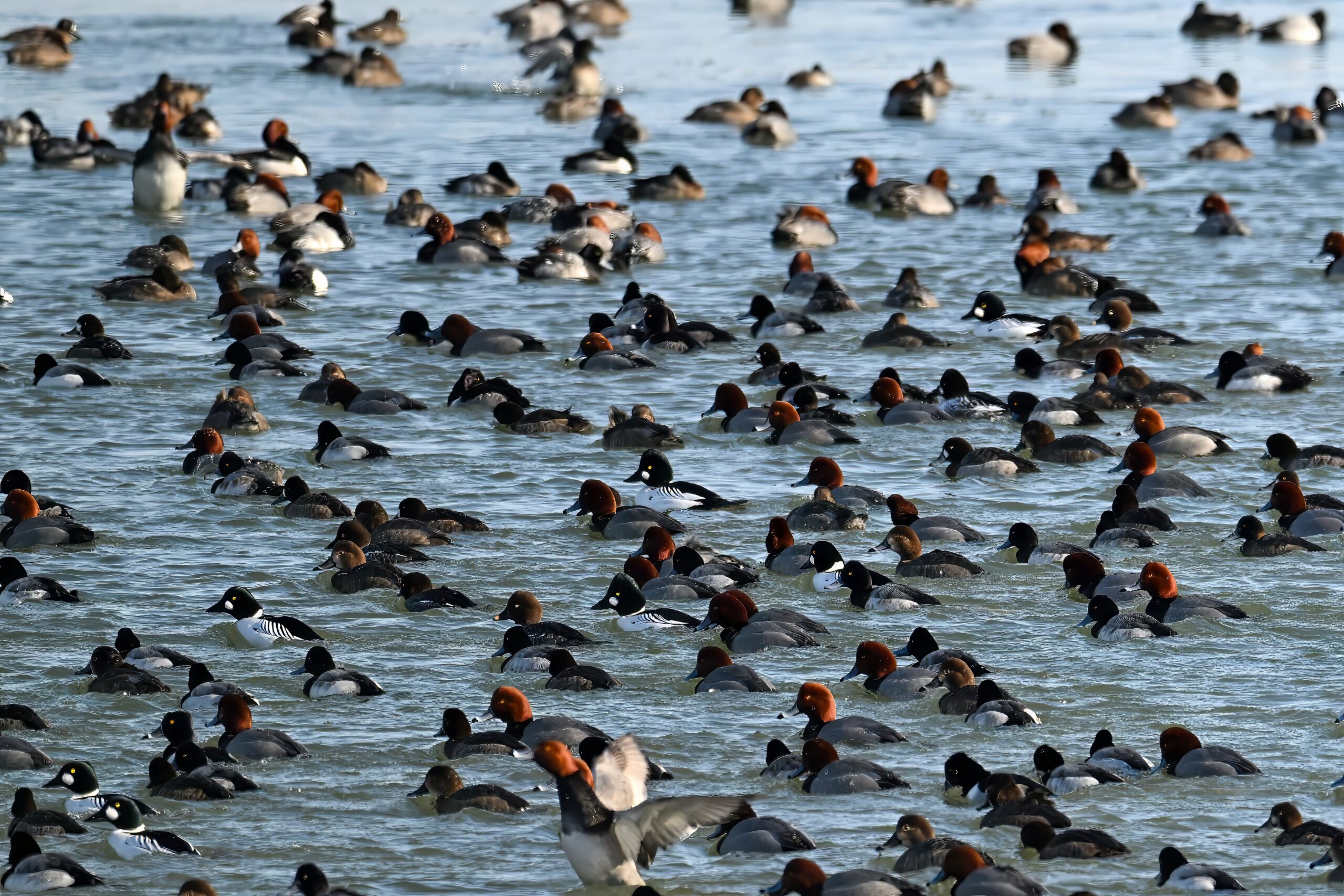
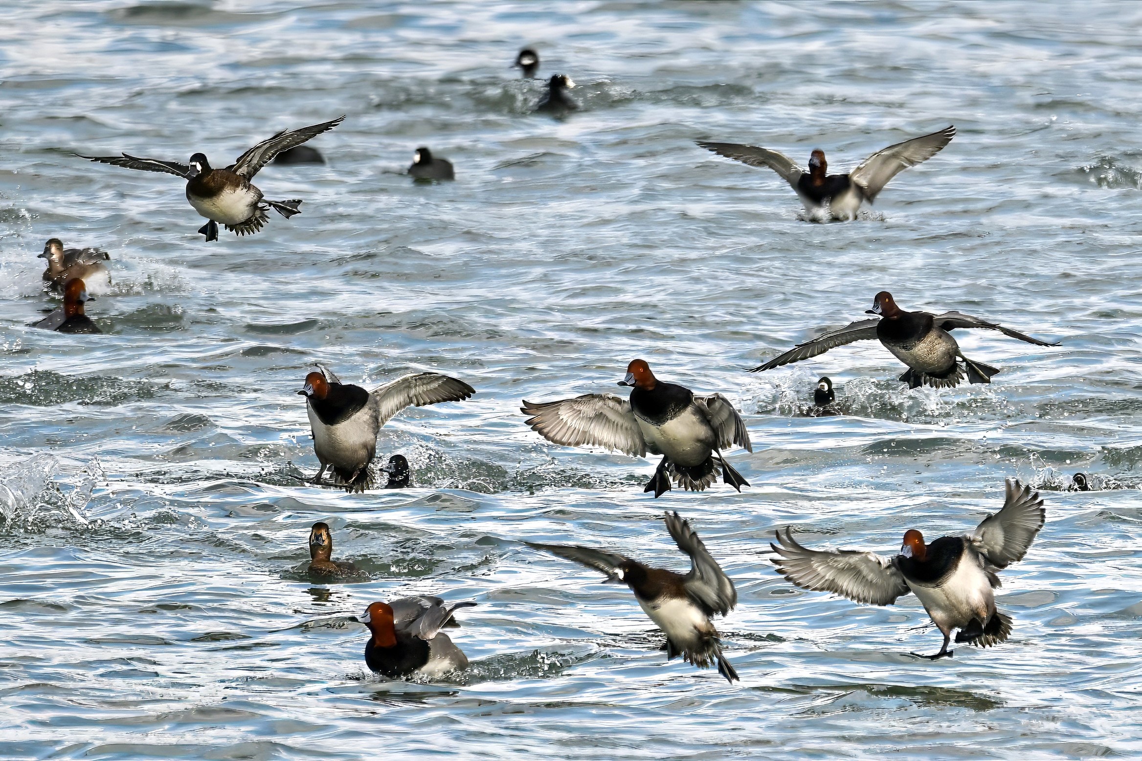
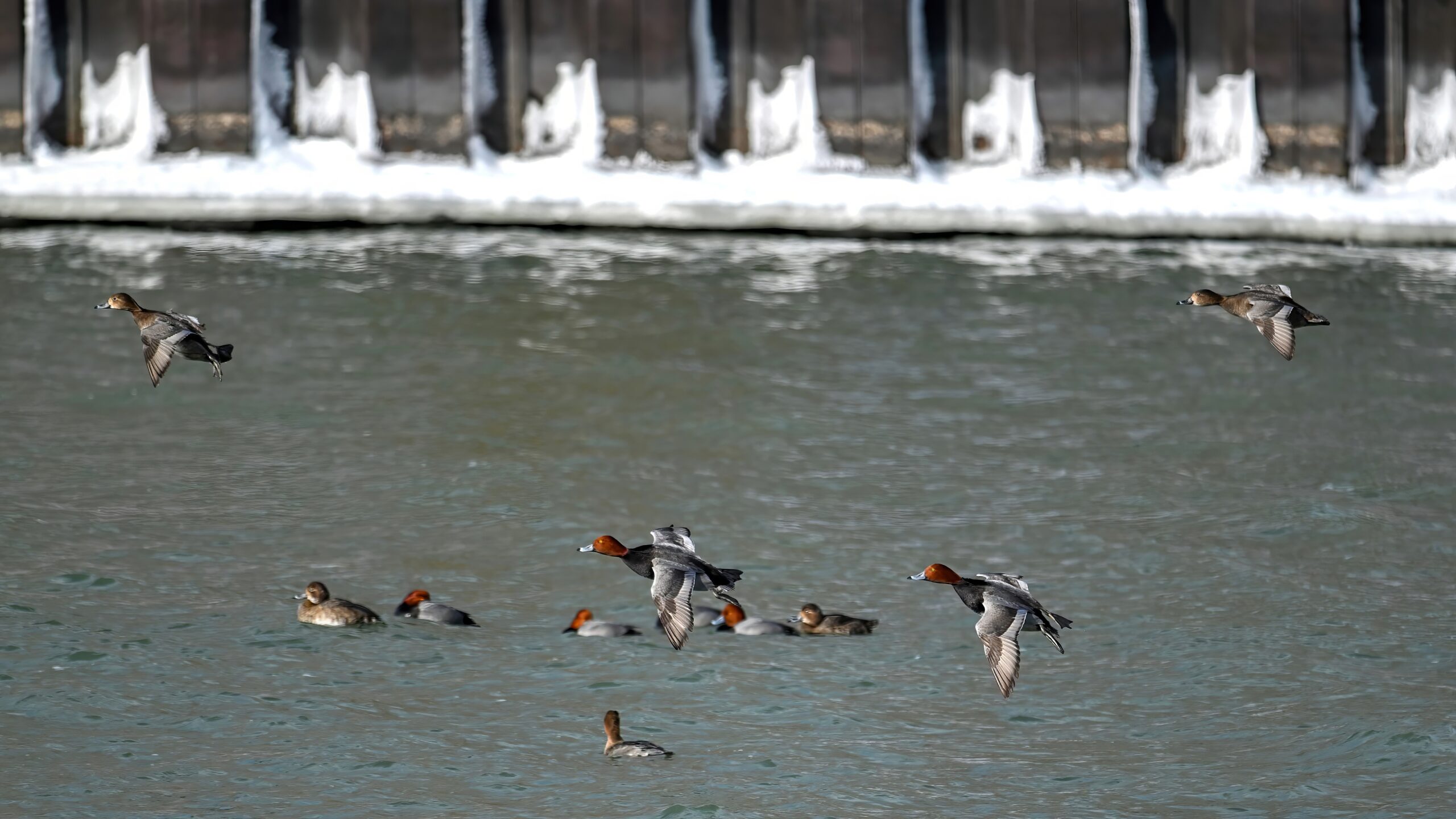
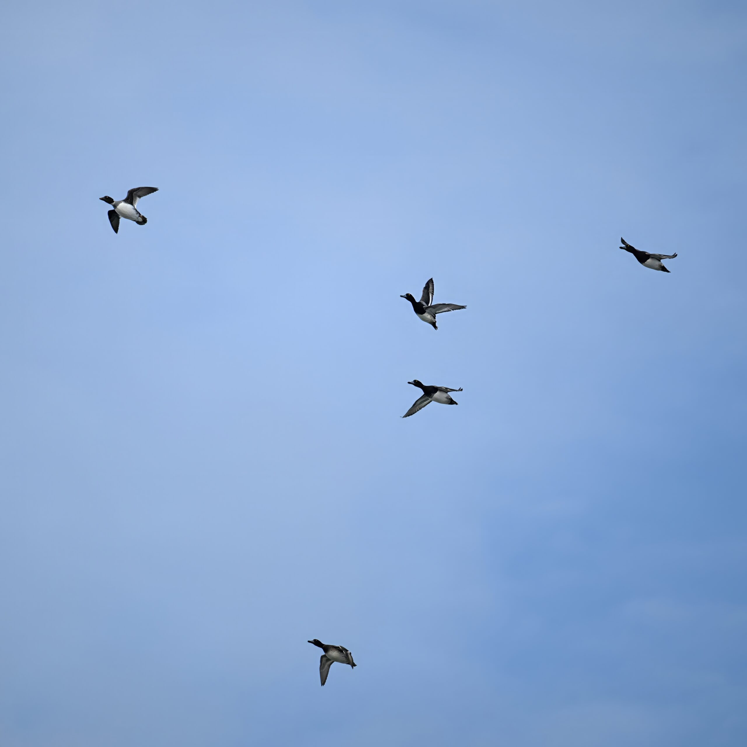
Closing it out with an aerial shot of Lesser Scaup (4 ducks lower right) and 1 Common Goldeneye (upper left):
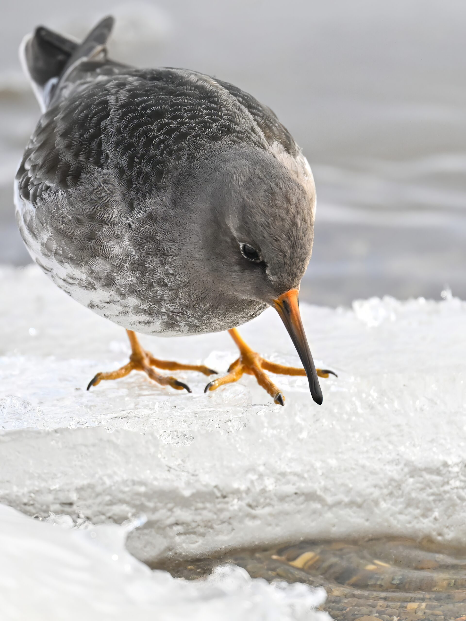
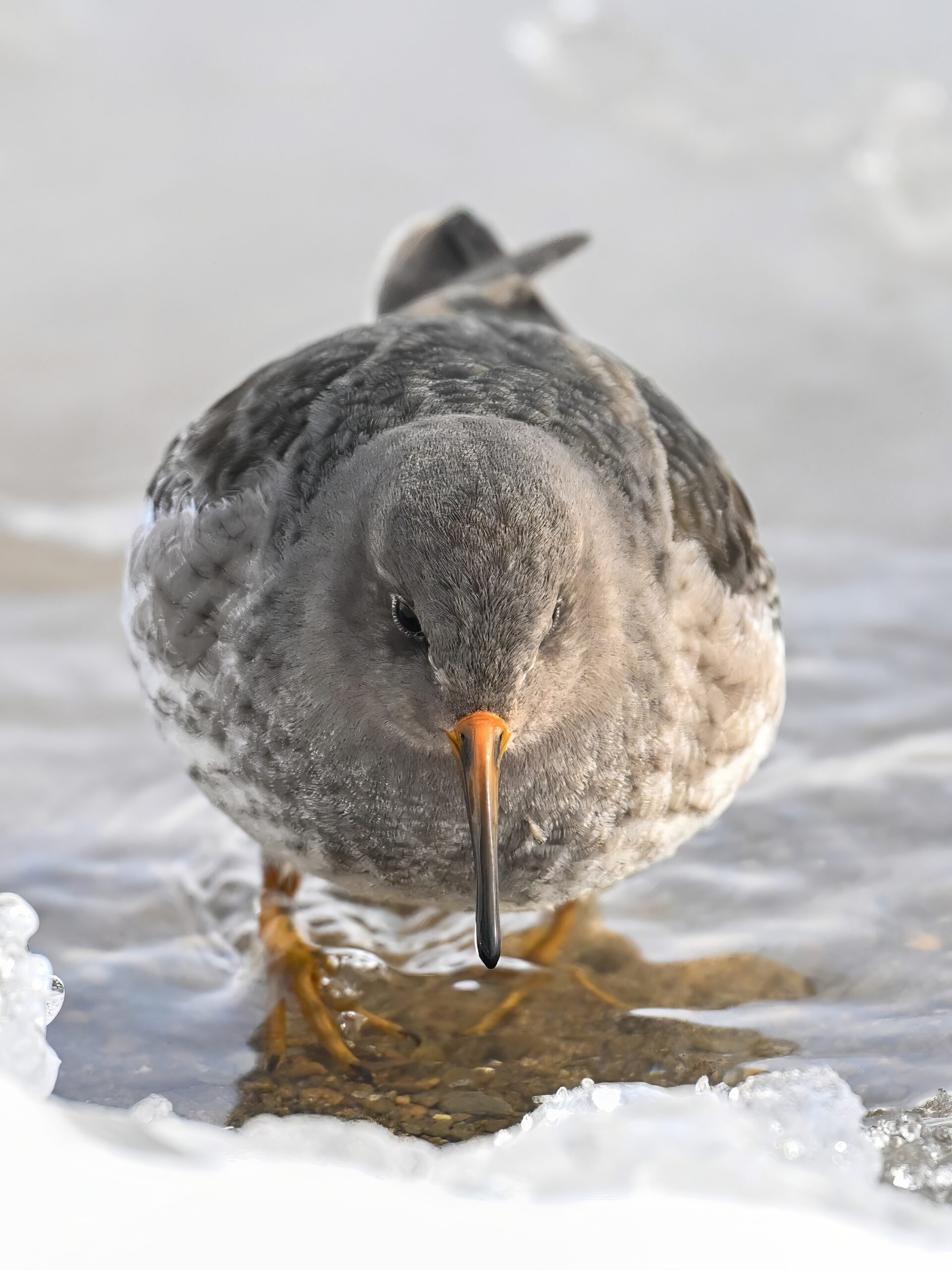
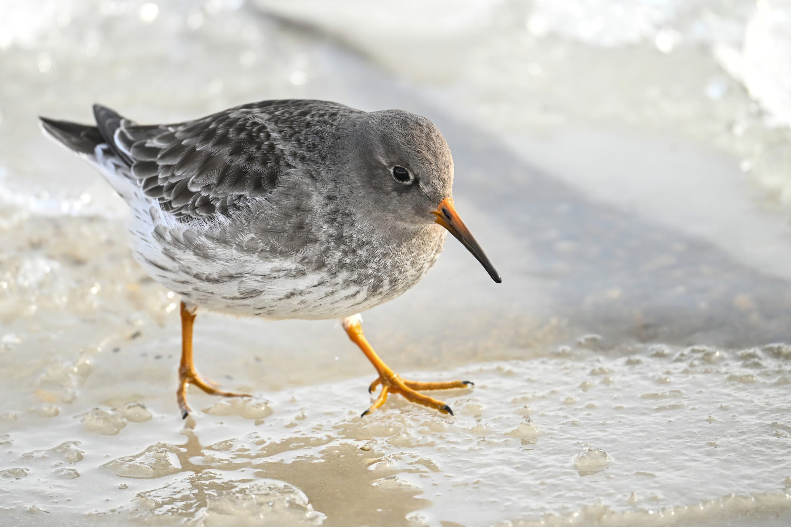
Reviewing the memory cards from this past Sunday at Presque Isle State Park revealed “way too many” shots of the Purple Sandpiper spotted bay-side Gull Point. But an unusual bird and non-flighty subject = photographically irresistible. Most of the following feature foraging behavior: