Pine Tree “Deer Trail”
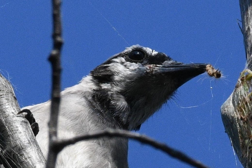
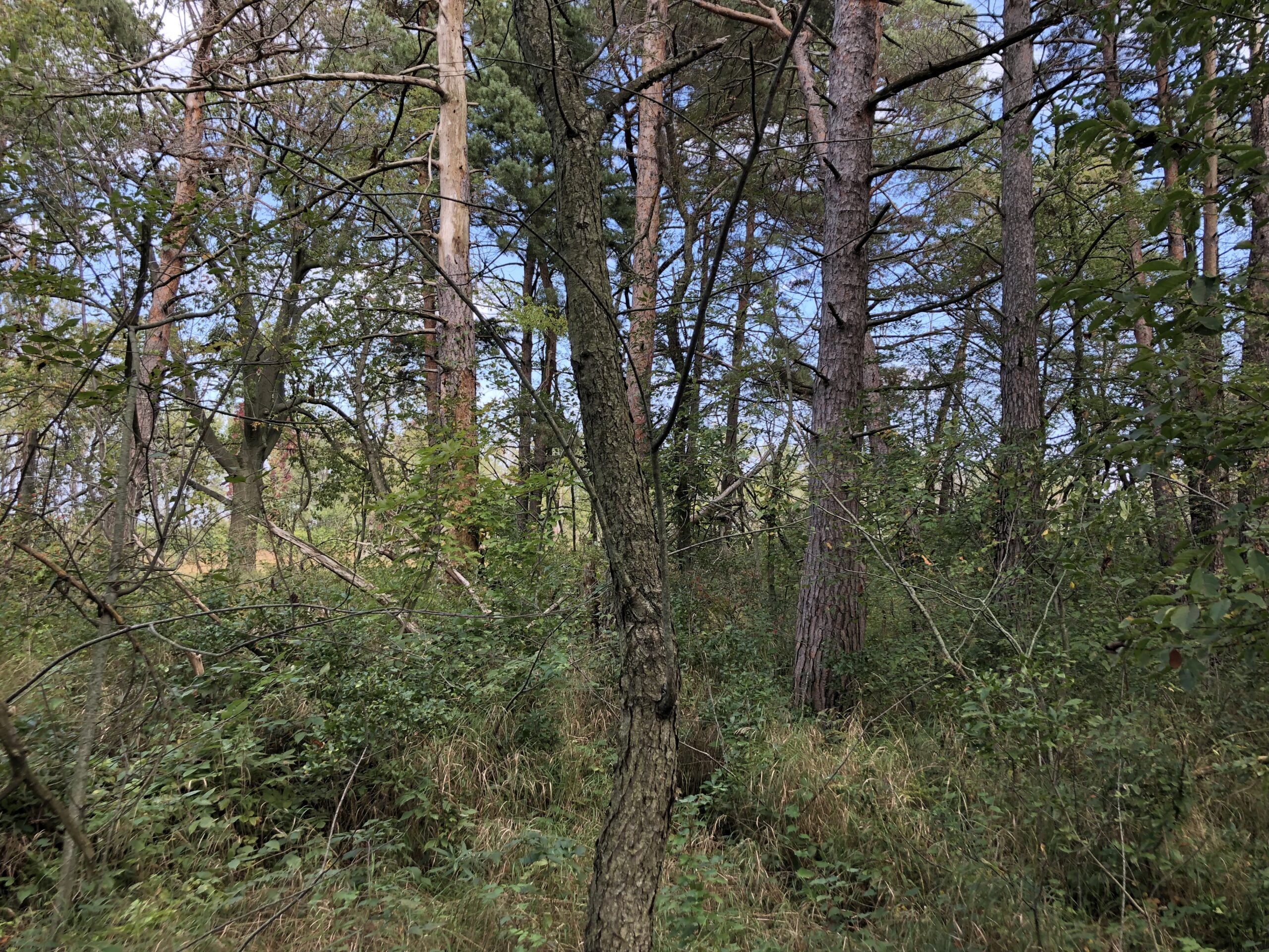
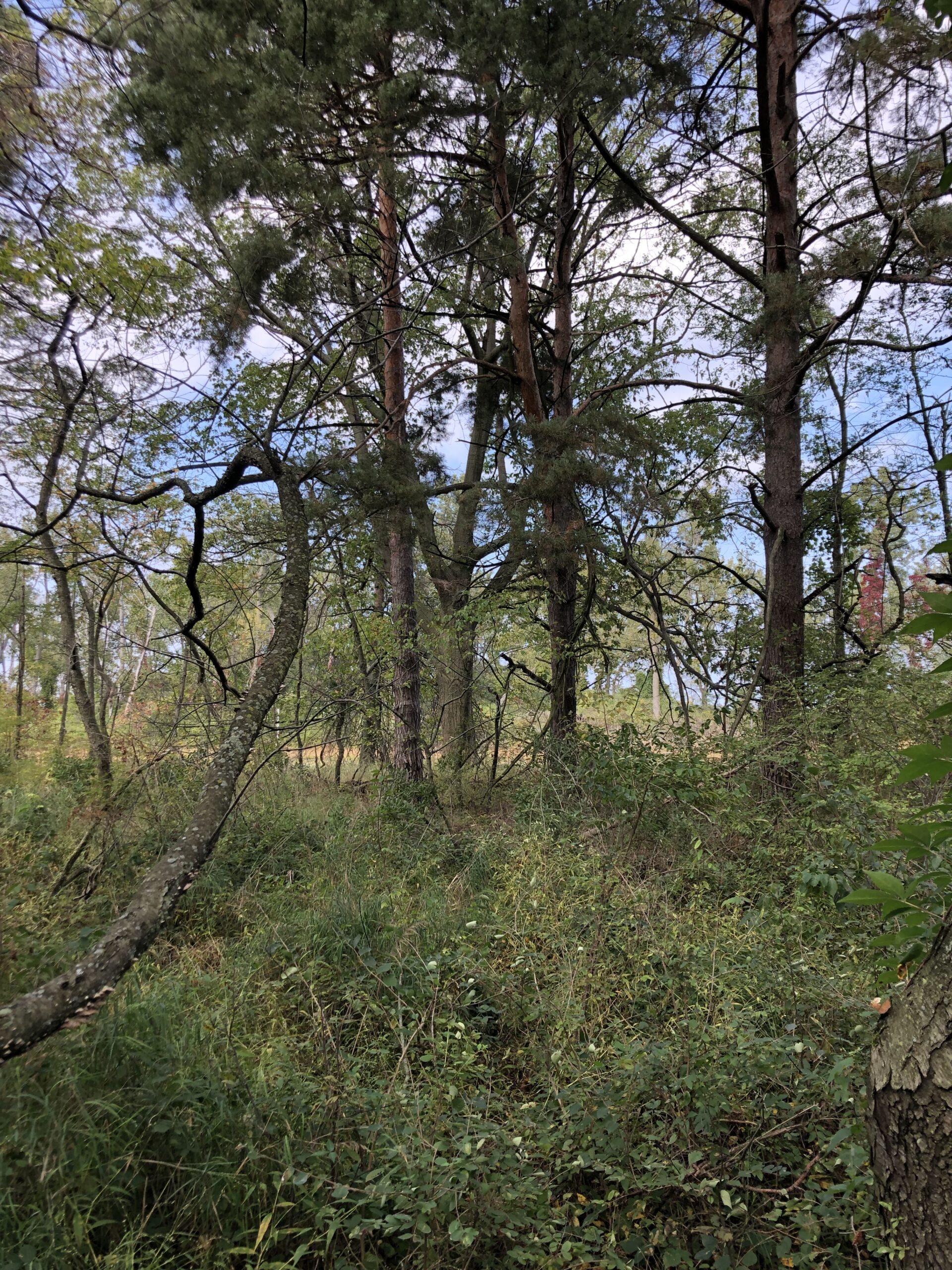
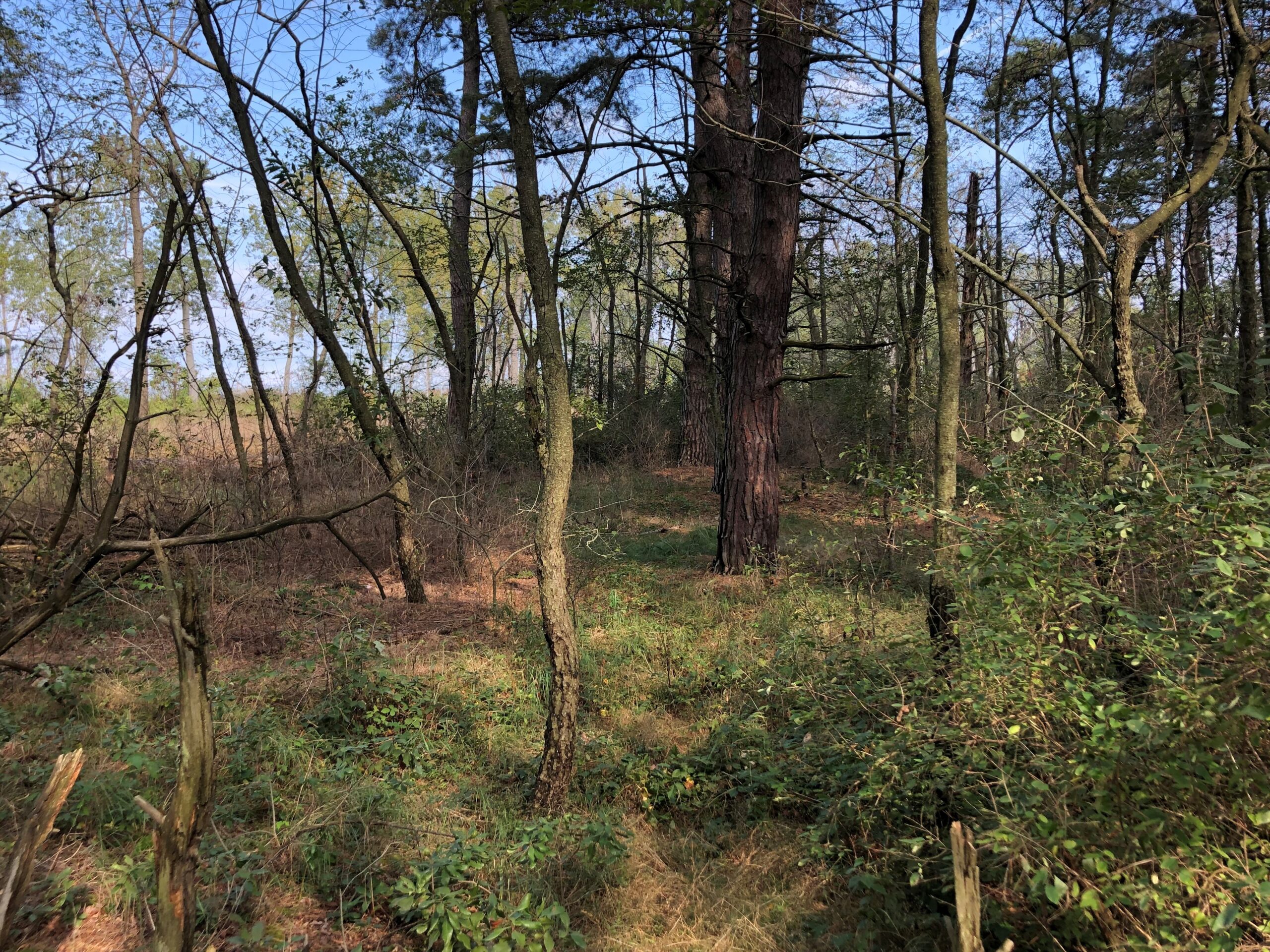
The Pine Tree Trail in Presque Isle State Park follows a low sand ridge parallel to and near the beach. It’s sandwiched between Dead Pond to the north (really a strip of meadow on the west end and swampy pond on the east) and a low-lying, overgrown area of marshy grass and mixed woods to the south. As its name suggests, the Pine Tree Trail is known for traversing a section of mature, old-growth pine. That, coupled with its proximity to the beach and swampy marshland/pond, make it great for birding, at least seasonally. Note a regular presence of Jays and Woodpeckers. Also good for Warblers, and the Kinglet/Chickadee/ Creeper trio.
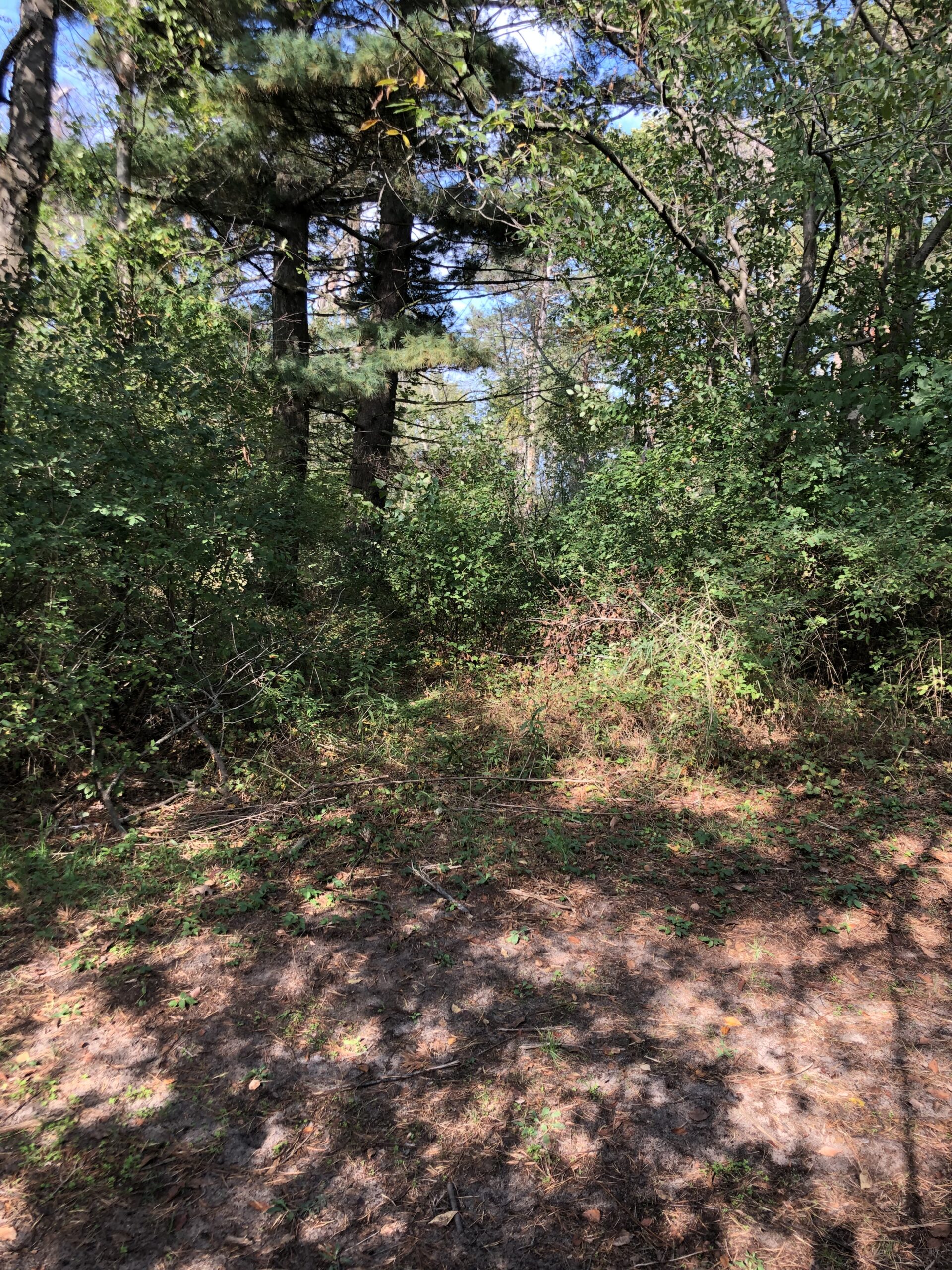
What makes this one of our favorite “hidden” trails is an informal/deer trail that parallels the official trail just to the north, in the thick of the pines and undergrowth. There can be plenty of activity on the trail proper, but getting deeper into the woods provides ample additional opportunity. Also, whereas the Pine Tree Trail is relatively open and merely borders the pine forest (for the most part), the deer trail provides fairly convenient access to the interior of this beautiful section of woodlands.
Note, this trail is easy to see in the late fall, winter, and early spring, due to deer activity. In the late summer especially, it is overgrown; long pants are highly recommended. Poison ivy is localized by present.
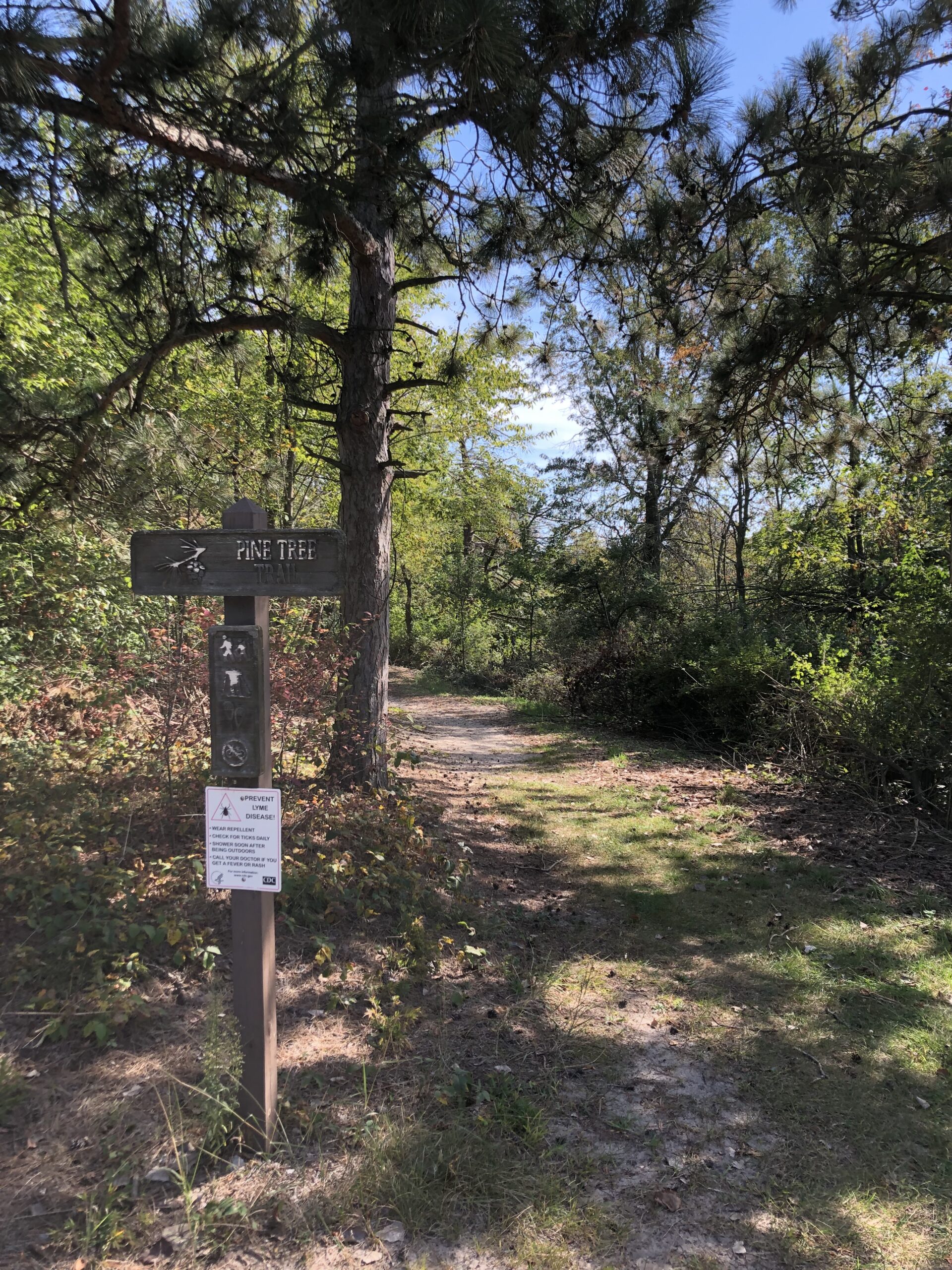
The Pine Tree Trail has trailheads on the west and east, both off the main park road. For accessing what we call the Pine Tree “Deer Trail,” best to park at the western trailhead.
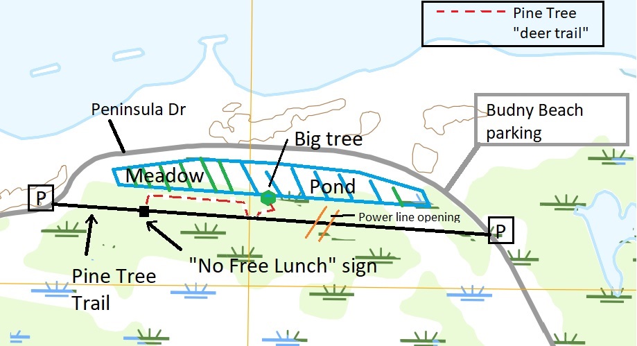
From the western trailhead, walk a few hundred feet (?) to the “No Free Lunch” interpretive sign.
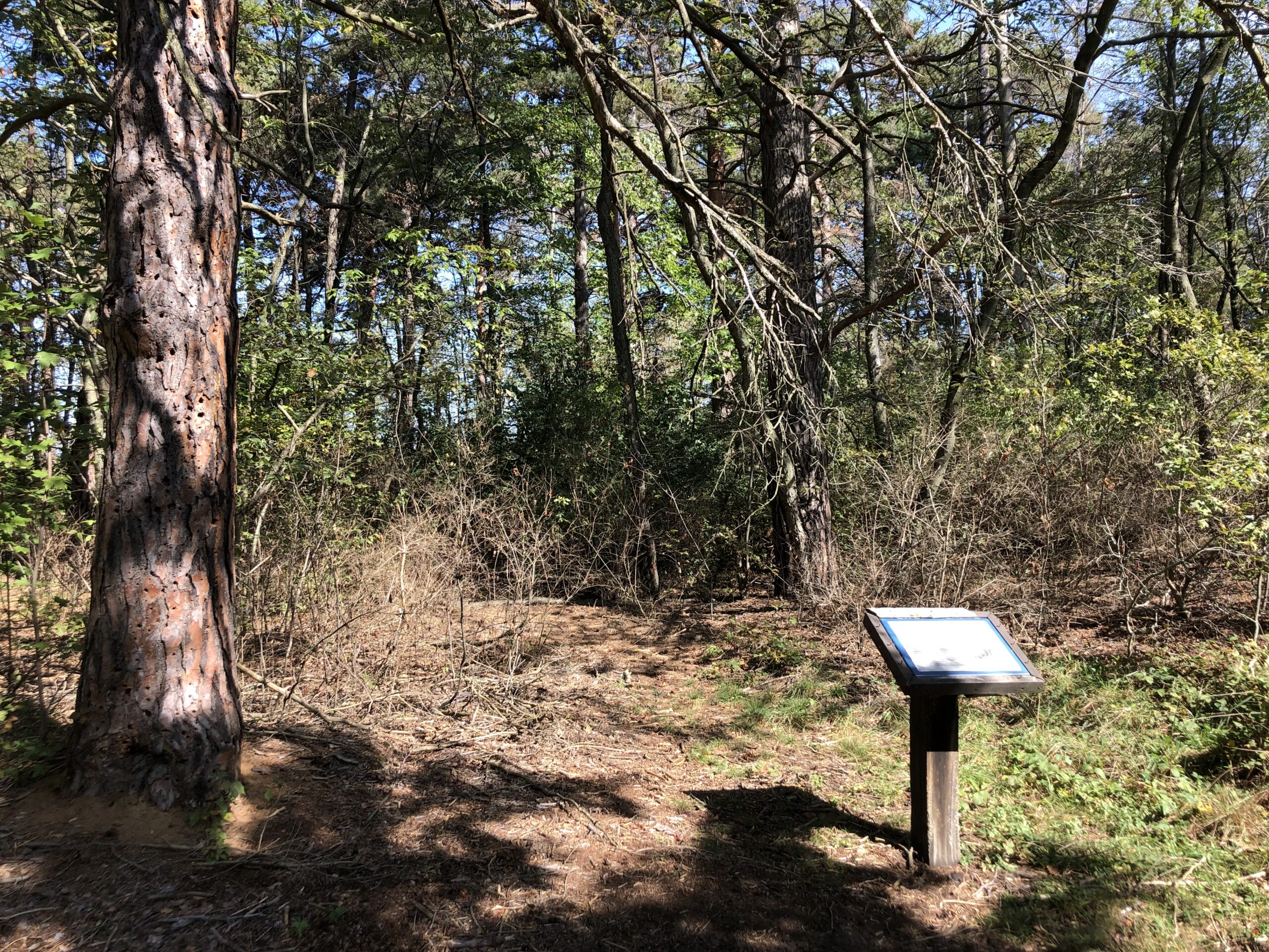
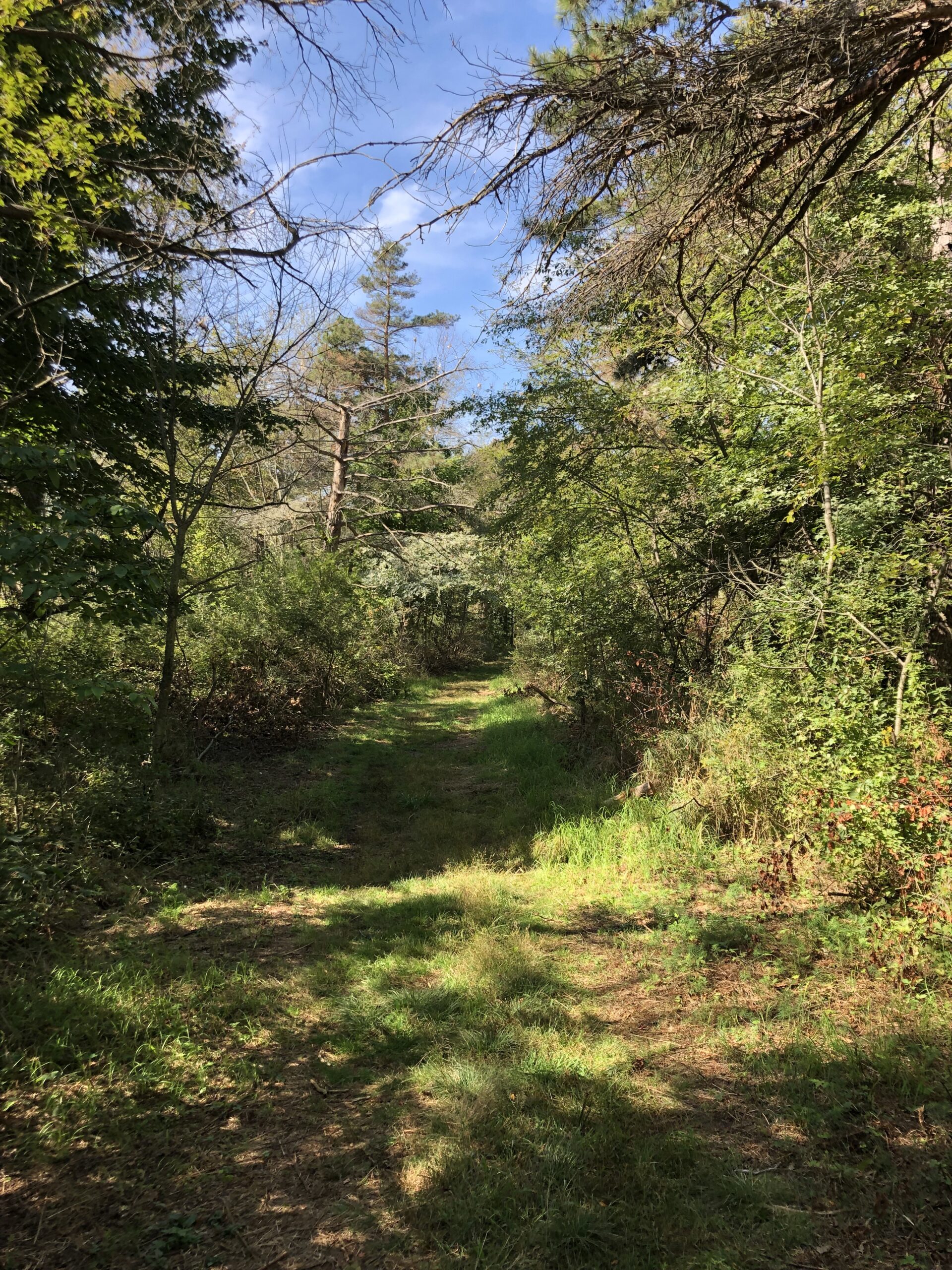
At the sign, as shown in the picture above, you will see a slight trail heading into the woods to the north. Follow this trail, skirting the wire fence vegetation enclosure. Passing the wire enclosure, bear right through the brush and follow the slight but distinct deer trail, which then heads roughly east. Note the nearby forest opening to the north. This is a good detour for accessing the west end of Dead Pond, which is mostly grassy meadow (seasonally wet depending on rain and snow).
Continuing to the east, the deer trail parallels the Pine Tree Trail proper. Eventually you will come to a downed tree, requiring a slight detour to the south to re-join the Pine Tree Trail. Turn left onto the Pine Tree Trail. After just a few feet, and past the downed tree, note a slight opening to the north.
Follow this slight trail to re-join the deer trail, which runs east/northeast. Fairly soon, the trail becomes largely impassible, or at least very overgrown. Best to stop here. Also doable to head southeast through the brush to re-join the Pine Tree Trail further along to the east.
First, however, take a hard left to the north towards Dead Pond. Note the large oak tree sitting at the edge of the water/swamp.
This section of Dead Pond can be good for Egrets, Ducks, GBH, Warblers, etc., but they’re typically skittish. Best to make a quiet approach.
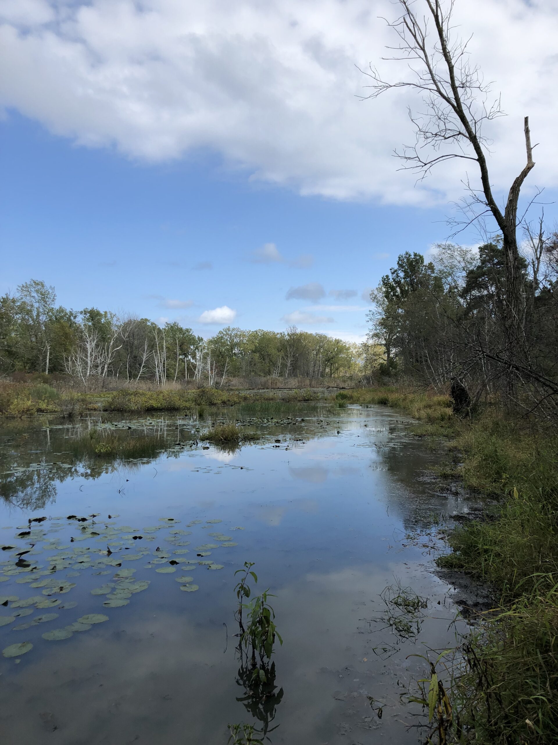
Depending on water conditions, it is possible to traverse the south edge of the pond from the big oak to the power line corridor without getting wet or too muddy. (Right side of the view above.) However, it is very overgrown and somewhat treacherous with downed branches, etc. – not recommended.
Once back on the Pine Tree Trail, it’s a quick walk to the east trailhead, which affords nearby views of the Thompson Bay-area swamp/ponds. Seasonally, sections of this portion of the Pine Tree Trail are good for birding, either on the trail or off, although the brush here is fairly overgrown and difficult to navigate. A quick mention, however, of the power line corridor, which crosses over the trail proper and offers a nice open area which can be good for nature/bird viewing.
Once at the eastern trailhead, you can walk back to the west trailhead via the road, or, indirectly, the road and then the beach. Or, return back along the Pine Tree Trail.
Although the deer trail is easy to access and relatively easy to follow (other than in late summer), it it possible to bushwhack into the overgrown, grassy/marshy area to the south of the Pine Tree Trail near the “No Free Lunch” sign. There are no obvious trails, so look for the best opening and head south. Soon you will come to an open but overgrown area of mixed trees, high grass, marsh, etc., generally along where the power line runs. Because this area is somewhat open, we’ve had luck in the late spring seeing Orioles and the like. However, accessing this area is highly dependent on the amount of recent rain and snow – seasonally, it is wet and basically impassible. Be on the lookout for a dry spell, however — it’s an interesting, if adventurous, supplement to the Pine Tree Trail and the nearby deer trail.
Note also a fairly obvious side trail just a dozen feet from the west trailhead – to the north it quickly peters out in the pines; to the south it passes through the woods and then terminates at the power line corridor.